Parking
Use Wildcat Canyon Trailhead on Kolob Terrace Road. A pit toilet is at the trailhead; no water fill is available.

Zion National Park, UT
Pine forest and open meadows lead to a broad canyon crossing.
Overview
Map & elevation
Plan your hike

The highest, rockiest slopes around here are a summer buffet for grizzly bears.
Zion Tour Guide
Parkwolf is a GPS audio tour guide for Zion National Park. As you drive, it chimes in with what’s ahead: hidden gems, upcoming stops, history, geology, and wildlife, right through your car’s speakers.
See the Zion audio tourRecorded for this trailhead
Wildcat Canyon Trailhead and Northgate Peaks“You're approaching Wildcat Canyon Trailhead, where I'd choose Northgate Peaks for a gentle forest walk with a canyon view at the end.”
Plays as you drive up to this trailhead in the Parkwolf Zion Tour Guide.
More stories near here in the app
“Fantastic app with many points of information… It’s great to just turn on while you’re driving and it gives you an audio tour of the national Park. We love it!!!!”


Trail guide
Wildcat Canyon Trail is an 11.6-mile out-and-back from Wildcat Canyon Trailhead to the West Rim Trail connection and back. The named corridor is about 5.8 miles one way. Allow around six hours for the full hike. Its appeal is the variety: open meadow and ponderosa forest, then the broad sandstone walls of Wildcat Canyon. The length, elevation and same-way return are the commitment; this is a full-day walk rather than a quick viewpoint.
The route begins across an open meadow, then enters spaced ponderosa pines. The Connector Trail branches off about 1.2 miles in, and the Northgate Peaks junction follows shortly after. Stay on Wildcat Canyon Trail for this route; Northgate Peaks is a separate 4.2-mile round trip from the same trailhead. Beyond the junction, the forest opens toward sandstone cliffs and the high meadow before the descent.
The canyon comes into view in stages. The trail descends along its rim, with openings toward the White Cliffs; near the bottom it crosses the canyon and climbs slightly to meet the West Rim Trail. There is no summit or single turnaround overlook: the change from open high country to the canyon edge is the payoff. On the descent, pause at one of the rim openings and keep the slickrock in the foreground to show the scale of the cliffs. Wildcat Spring is beside this descent and usually has a small flow; treat it and do not rely on it for your drinking supply.
Start at Wildcat Canyon Trailhead on Kolob Terrace Road. There is a pit toilet but no water filling station. Pets are not permitted on these trails, and wilderness groups are limited to 12 people who share an affiliation. Snow can remain into late spring, and Kolob Terrace Road often closes from fall into spring, so check access before driving out. This route turns around at the West Rim connection and retraces the same trail; overnight trips require a wilderness permit.
Wildlife
 291 sightingsCalifornia CondorMost seen around 11 AMSighting map
 350 sightingsBighorn SheepMost seen around 7 AMSighting map
 22 sightingsMountain LionMost seen around 7 PMSighting map
 1,326 sightingsMule DeerMost seen around 6 AMSighting map
 23 sightingsGolden EagleMost seen around 10 AMSighting map
 15 sightingsPeregrine FalconMost seen around 7 AMSighting map
Sighting maps show where each species has been reported across Zion. Wildlife moves, so no sighting is guaranteed.
Keep exploring
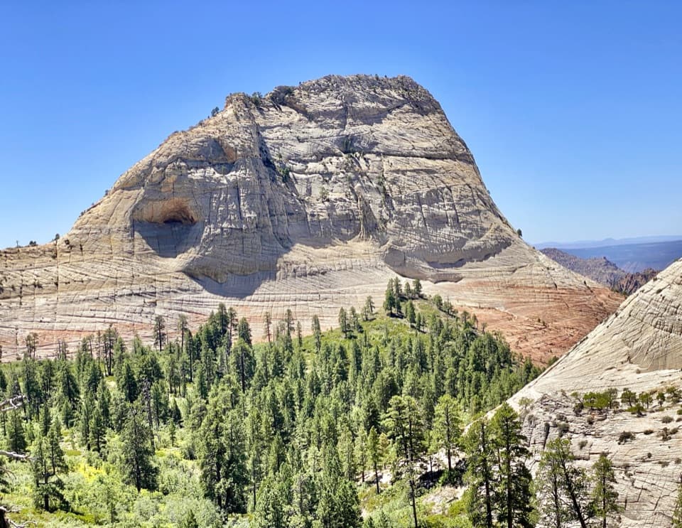 EasyNorthgate Peaks Trail4.2 mi · 2.5 hr · At the trailheadA forest walk to a volcanic-rock perch above Great West Canyon.
 ChallengingHop Valley Trail13 mi · 7 hr · 2.1 mi awayA long, sandy walk through Zion’s open sandstone canyon.
 ModerateConnector Trail5.1 mi · 2.5 hr · 2.1 mi awayOpen meadows and slickrock connect two Kolob trailheads.
 ChallengingLeft Fork (Subway) Bottom-Up9 mi · 8 hr · 4 mi awayA demanding creek scramble to Zion’s sculpted sandstone slot.
 ChallengingWest Rim Trail (Top-Down)14.6 mi · 10.5 hr · 4.1 mi awayCross high plateau country before dropping into Zion Canyon.
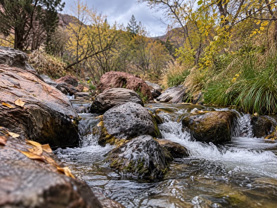 ModerateGrapevine Trail1.5 mi · 1.5 hr · 4.7 mi awayLoose lava tread drops to a bench above the Left Fork.
 ChallengingRight Fork of North Creek to Double Falls11.1 mi · 10.5 hr · 5 mi awayA long creek hike ends at a waterfall you can walk behind.
 ChallengingThe Narrows from the Bottom Up9.4 mi · 7 hr · 8 mi awayWade the Virgin River through a slot canyon to Big Spring.
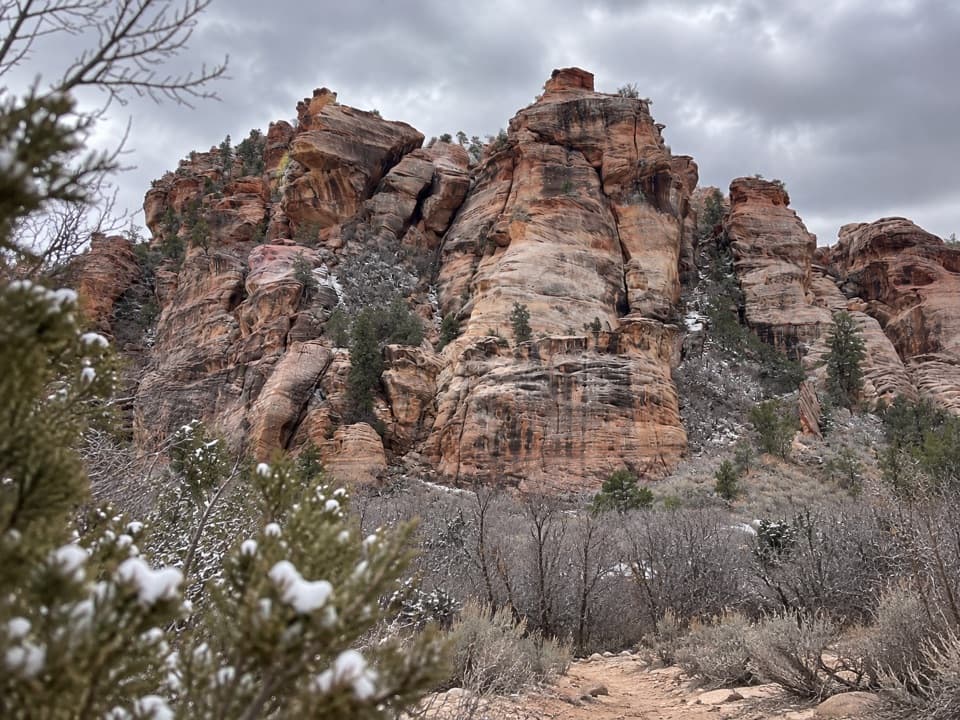 Sight · 2.7 mi awayLambs Knoll Climbing SiteA sandstone crag with a short, exposed scramble to its high point.
 Campground · 3.9 mi awayLava Point CampgroundSix tent sites on Zion's high, remote Kolob Terrace.
 Sight · 4 mi awayLava Point OverlookA long detour for a quieter, high-country panorama.
 Sight · 7.1 mi awayKolob ArchA full-day canyon hike to an arch you see from afar.
 Sight · 8 mi awayTemple of SinawavaThe Virgin River opens into a natural sandstone amphitheater.
 Sight · 8.2 mi awayScout LookoutA natural turnaround for Zion Canyon views before Angels Landing.
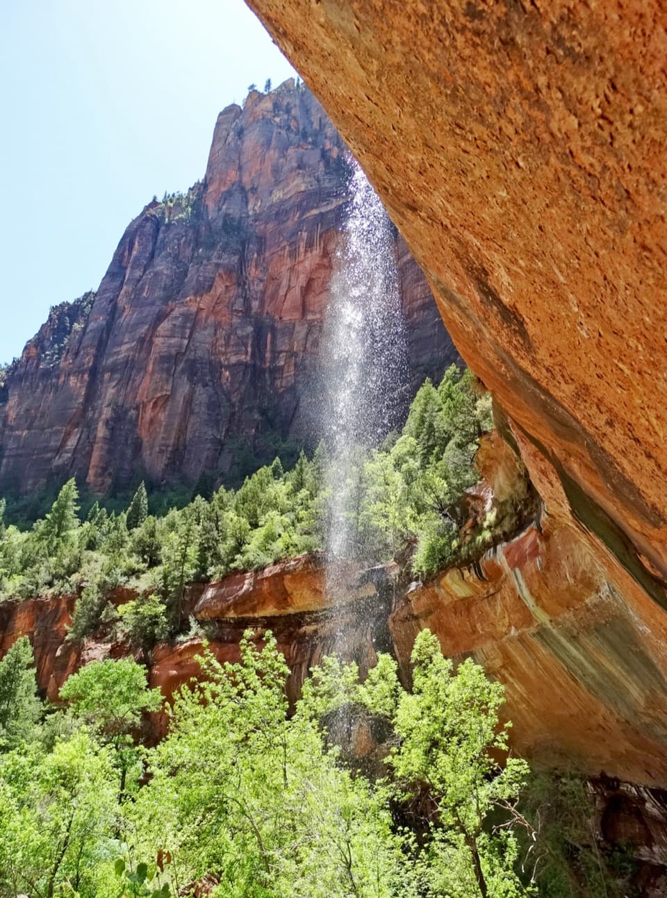 Sight · 8.4 mi awayEmerald PoolsThree cliffside pools, with seasonal falls and a steeper upper climb.
 Sight · 8.5 mi awayBig BendBig Bend frames the Great White Throne above the Virgin River.
Parkwolf’s Zion ranking

The audio tour guide for the drive, plus offline maps, trails, and wildlife heatmaps for when the signal drops.


