
Place · 1 mi away
Challenging
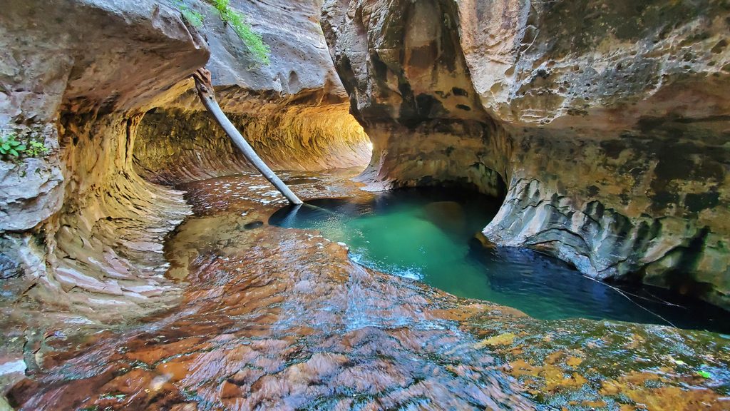
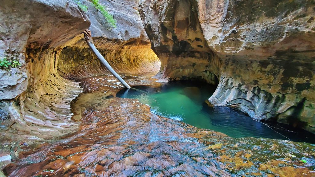
The Subway is a short, tube‑like section of the Left Fork of North Creek—famous for its glowing sandstone walls and emerald pools. The classic way to experience it is the non‑technical, bottom‑up hike from the Left Fork Trailhead. Plan on about 9 miles round trip (out‑and‑back) and a full day: 6–10 hours is typical. The route is rugged, mostly off‑trail, and involves boulder hopping, frequent stream crossings, and slippery slickrock.
A wilderness permit is required for any trip into the Left Fork/Subway, bottom‑up or top‑down, and visitation is limited by lottery. There’s a seasonal lottery (apply up to four months ahead) and a daily lottery two days before the date. Group size max is 12, day‑use only (no camping), permits are non‑transferable, and the reservation holder must pick up the permit in person at the Wilderness Desk. Expect a non‑refundable application fee plus a per‑person fee that is refundable if plans change. Paid guided trips are not permitted.
From the Left Fork Trailhead on Kolob Terrace Road, you’ll cross black volcanic rock near the rim and then descend a steep, loose gully about 400 feet to the creek. Make a mental note (or waypoint) of this exit—missing it on the return has serious consequences.
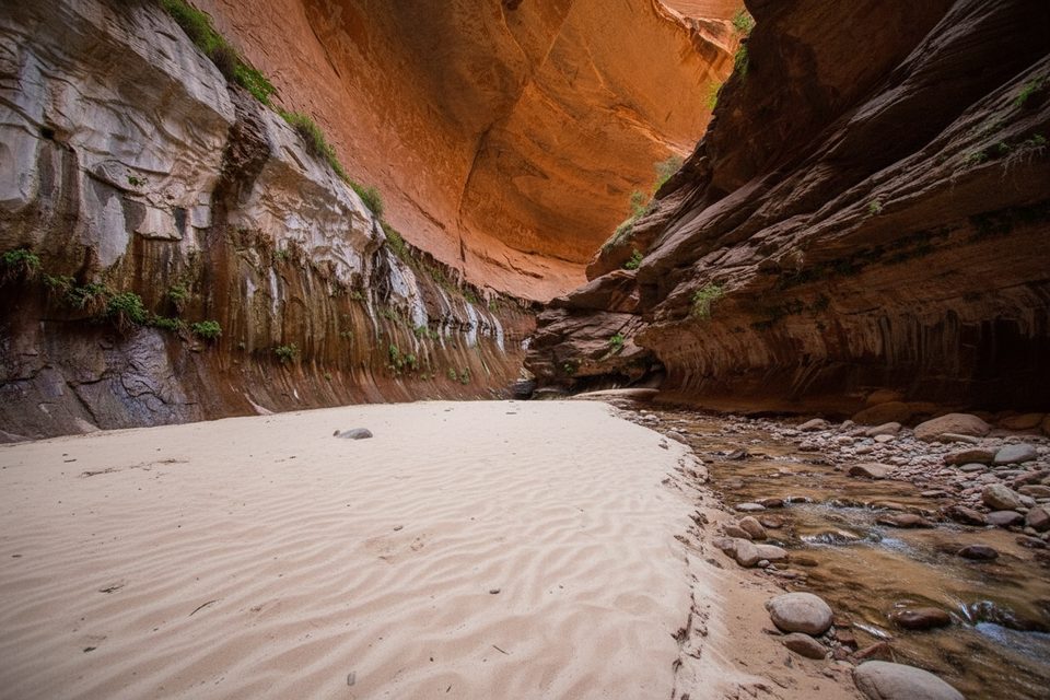
Turn upstream and work your way up‑canyon. There’s no maintained trail; you’ll zigzag the creek, use social paths on benches, and scramble boulders. The canyon gradually narrows and the slickrock slabs turn red—watch for photogenic cascades, Archangel Falls, and a narrow chute in the creek bed often called “The Crack.” Above, you reach the lower Subway’s polished tunnel with shallow, clear pools and glowing reflected light. The rock here can be as slick as ice. Most bottom‑up hikers turn around at the falls; going farther typically requires rope skills to overcome a significant drop.
Expect roughly 1,000 feet of cumulative gain with the climb back out. On the return, look carefully for the signed/social path leaving the creek and the gully you descended—navigation cues include black lava on the rim and tributaries just upstream of the exit.
Much of the approach is in full sun; inside the Subway it can feel chilly due to cold water and shade. You’re moving across Kayenta Formation slabs with towering Navajo Sandstone above, and you’ll notice a relatively young volcanic flow capping parts of the rim near the trailhead. Keep an eye out for dinosaur tracks on slabs in the drainage.
Summer through fall is prime. Summer brings heat—start early for shade on the approach and enjoy cooler temps in the tube. Fall color typically peaks late October to early November, and mid‑day light can work beautifully inside the Subway due to indirect glow. In summer, mid‑morning or mid‑afternoon tends to give pleasing reflected light without blasting sun. Spring runoff can mean high, very cold water; winter may bring ice and snow.
Flash floods are a real risk—do not enter with any threat of storms. The polished rock in the Subway is extremely slick; move deliberately and avoid jumping into pools. The initial/descent ascent gully is steep and loose; stay on route. Water can be very cold, and limited shade on the approach makes heat management essential. Extensive route‑finding is required throughout. If you’re after the full traverse of the canyon with rappels and deep swims, that’s the technical top‑down route—only for properly equipped, experienced parties with a permit.
Park at the Left Fork Trailhead on Kolob Terrace Road (about 8–8.6 miles from Virgin). There is a restroom at the trailhead. Display your permit in your vehicle and carry it on trail.
Wilderness, unmaintained route with frequent creek crossings; extremely slick polished sandstone; steep, loose 400 ft descent/ascent; easy‑to‑miss exit gully—mark your entry point. Flash flood risk in storms; cold water; day‑use only; permit required.
Place · 1 mi away
Place · 1 mi away
Place · 2.3 mi away
Place · 2.9 mi away
Moderate · 3.9 mi away
Easy · 4 mi away
Moderate · 4 mi away
Easy · 7.8 mi away

Parkwolf Tour Guide
