Parking
Start in the Algonquin Park Visitor Centre parking lot at Highway 60 km 43; the signed trail begins at the rear corner of the lot.
Algonquin Provincial Park, ON
Steep climbs, lake views, and a boardwalk in a compact loop.
Overview
Map & elevation
Plan your hike

The highest, rockiest slopes around here are a summer buffet for grizzly bears.
Algonquin Tour Guide
Parkwolf is a GPS audio tour guide for Algonquin Provincial Park. As you drive, it chimes in with what’s ahead: hidden gems, upcoming stops, history, geology, and wildlife, right through your car’s speakers.
See the Algonquin audio tourRecorded for this trailhead
Algonquin Visitor Centre“You're approaching the Algonquin Visitor Centre, a good stop for understanding the landscape beyond the highway.”
Plays as you drive up to this trailhead in the Parkwolf Algonquin Tour Guide.
More stories near here in the app
“Fantastic app with many points of information… It’s great to just turn on while you’re driving and it gives you an audio tour of the national Park. We love it!!!!”


Trail guide
Fork Lake Trail is a 2.4 km loop from Algonquin Park’s Visitor Centre at Highway 60 km 43. A short shared access path drops from the parking lot to the loop, then you return along that same stretch. Allow about 1.5 hours. The distance is modest, but repeated steep climbs, uneven natural tread, and a long flight of stairs make this a difficult hike. The official figure is about 125 m of ascent and descent. A valid Algonquin Park permit is required.
The trail begins at the rear corner of the Visitor Centre lot with a short rise followed by a steep gravel descent toward lake level. The gravel can shift underfoot, so take that first drop slowly. At the bottom, a broad wooden boardwalk runs through mature evergreen forest. At the signed split, follow the right-hand direction for the counter-clockwise loop.
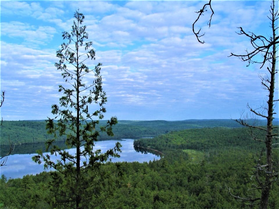
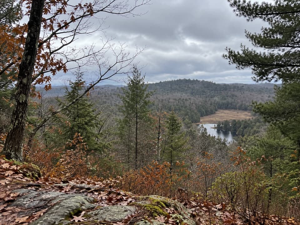
Beyond the boardwalk, the path narrows to natural ground with rocks and roots, and climbs in several short, steep pitches. Benches mark two lookouts, but trees partly screen the views. The route reaches its high ground around the middle, then descends a long wooden staircase of 66 steps beside rock walls, where trees cling to cracks in the stone. It returns to the boardwalk and retraces the shared access path to the parking lot. The rock walls and roots make a stronger close-up photo than the partly screened benches.
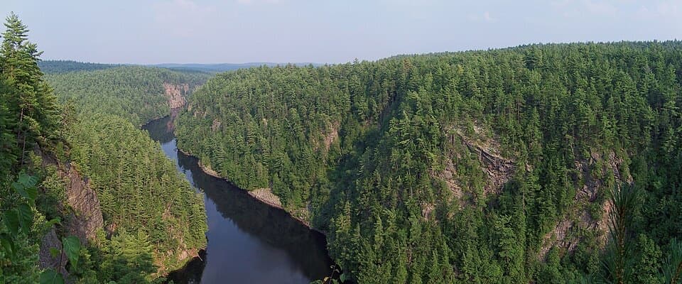
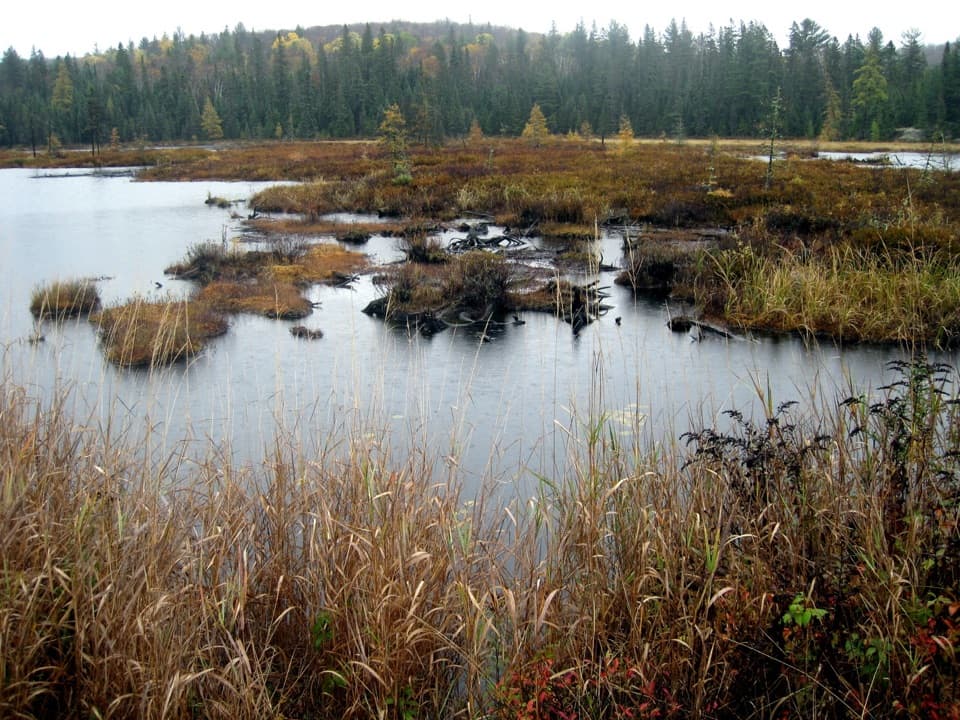
The trail was built to introduce visitors to several Algonquin habitats. The route passes lakes and spruce bogs, through northern red oak forest, and up to rocky lookouts. It is also listed as a fall-colour walk. Local donors gave the trail to the park after supporting its construction.
The trail starts at the Algonquin Visitor Centre parking lot; washrooms are available inside the Centre during its operating hours, with none on the trail. Dogs are allowed on the route but must remain on a leash no longer than 2 m. If the climbs and stairs are too much, the separate Spruce Bog Boardwalk at Highway 60 km 42.5 is a nearby 1.5 km easy loop.
Wildlife
 1,237 sightingsMooseMost seen around 6 AMSighting map
 245 sightingsEastern WolfMost seen around 7 PMSighting map
 331 sightingsBlack BearMost seen around 7 PMSighting map
 604 sightingsLoonMost seen around 6 PMSighting map
 110 sightingsBald EagleMost seen around 11 AMSighting map
 192 sightingsRiver OtterMost seen around 6 PMSighting map
Sighting maps show where each species has been reported across Algonquin. Wildlife moves, so no sighting is guaranteed.
Keep exploring
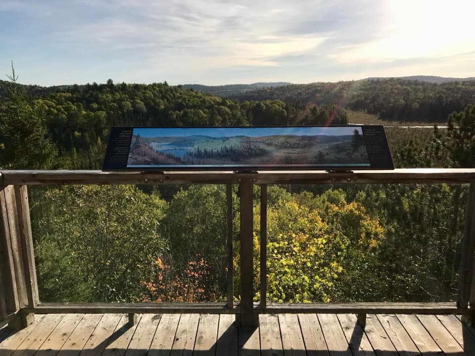 EasyFire Tower Trail0.2 km · 15 min · 0.1 km awayAn easy, accessible boardwalk ends above the Sunday Creek valley.
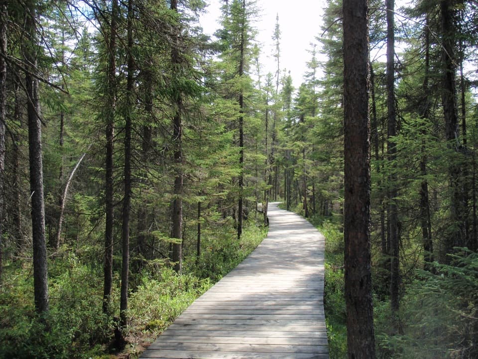 EasySpruce Bog Boardwalk Trail1.5 km · 1 hr · 1.3 km awayTwo northern spruce bogs, reached on a short boardwalk loop.
 ModerateBeaver Pond Trail2 km · 1 hr · 1.6 km awayBeaver ponds, a boardwalk, and a high lookout in one short loop.
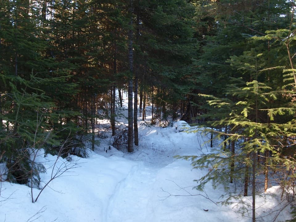 ModerateBig Pines Trail2.9 km · 1.5 hr · 3.2 km awayMeet giant white pines on a mellow loop with a logging past.
 ModerateLookout Trail2.1 km · 1 hr · 3.8 km awayA short climb opens onto a panoramic rocky ridge.
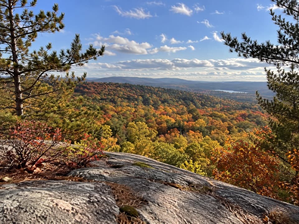 ModerateSouth Lookout Trail2.6 km · 1 hr · 3.8 km awayAn informal path reaches a rocky perch above distant lakes.
 ChallengingCentennial Ridges Trail10.4 km · 4.5 hr · 5.7 km awayA very demanding 10.4 km loop over two rocky ridges.
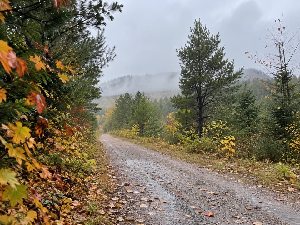 ModerateOld Railway Bike Trail16 km · 4.5 hr · 7.5 km awayFlat rail-bed riding past lakes, rapids, and old railway bridges.
 Visitor center · 0.1 km awayAlgonquin Park Visitor CentreStart here for park history, trail advice and a broad deck view.
 Picnic area · 2.8 km awayCostello Creek Picnic GroundA handy picnic and swim stop just off Highway 60.
 Sight · 4.3 km awayLookoutA steep, short climb pays off with one of Algonquin's biggest panoramas.
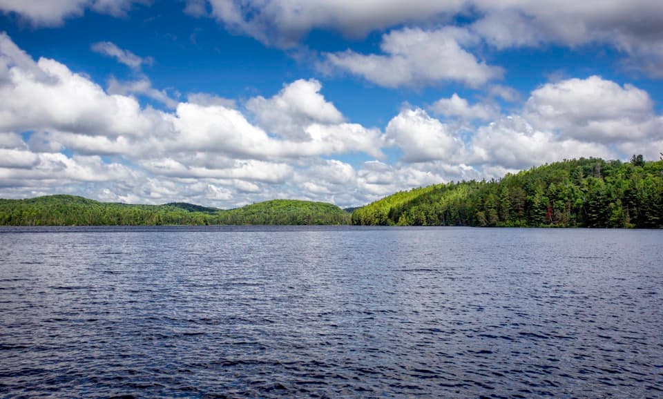 Sight · 5.8 km awayLake Opeongo Access Point and Opeongo StoreLaunch here, or let the water taxi do the crossing.
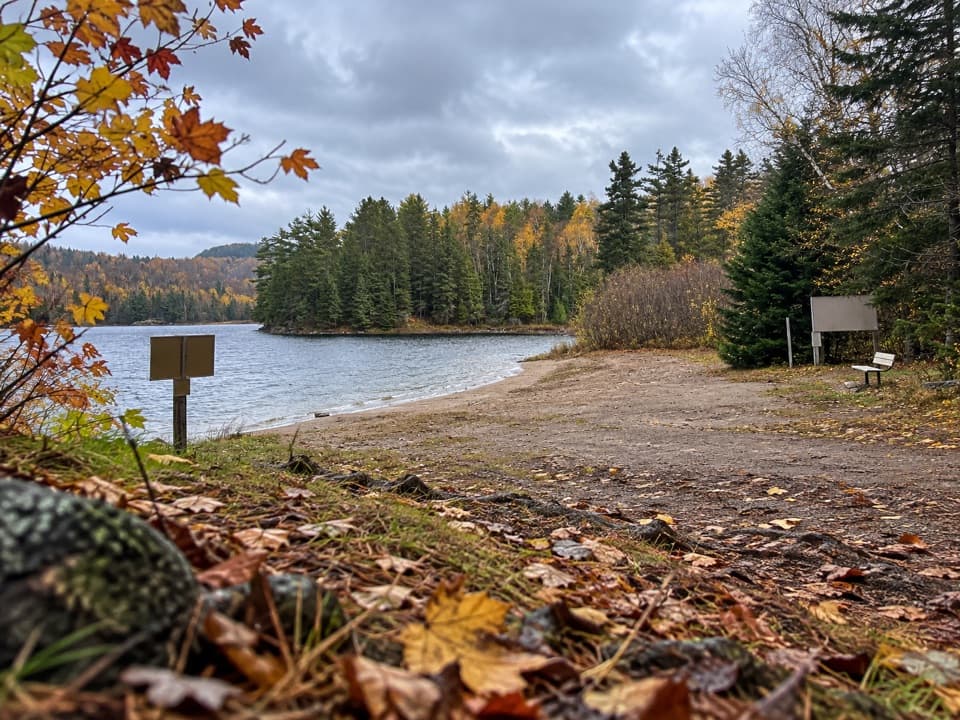 Campground · 6.2 km awayRaccoon Lake CampgroundA quiet lakeside campground with a beach and vault privies.
 Campground · 6.5 km awayPog Lake CampgroundA 286-site lakeside campground with a dog-free, radio-free loop.
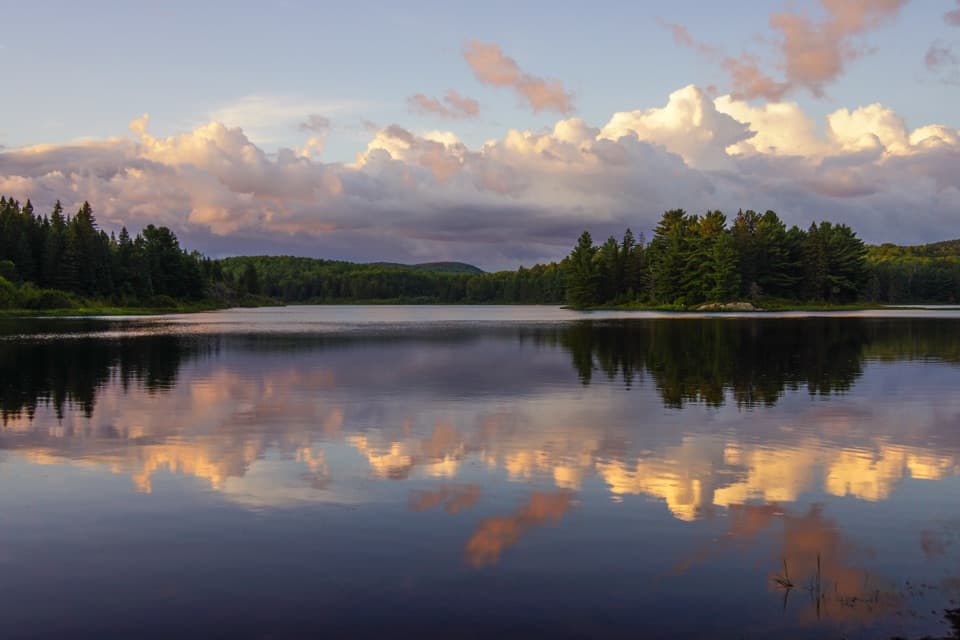 Campground · 6.6 km awayKearney Lake CampgroundCamp beside a sandy beach and paddle Kearney Lake.
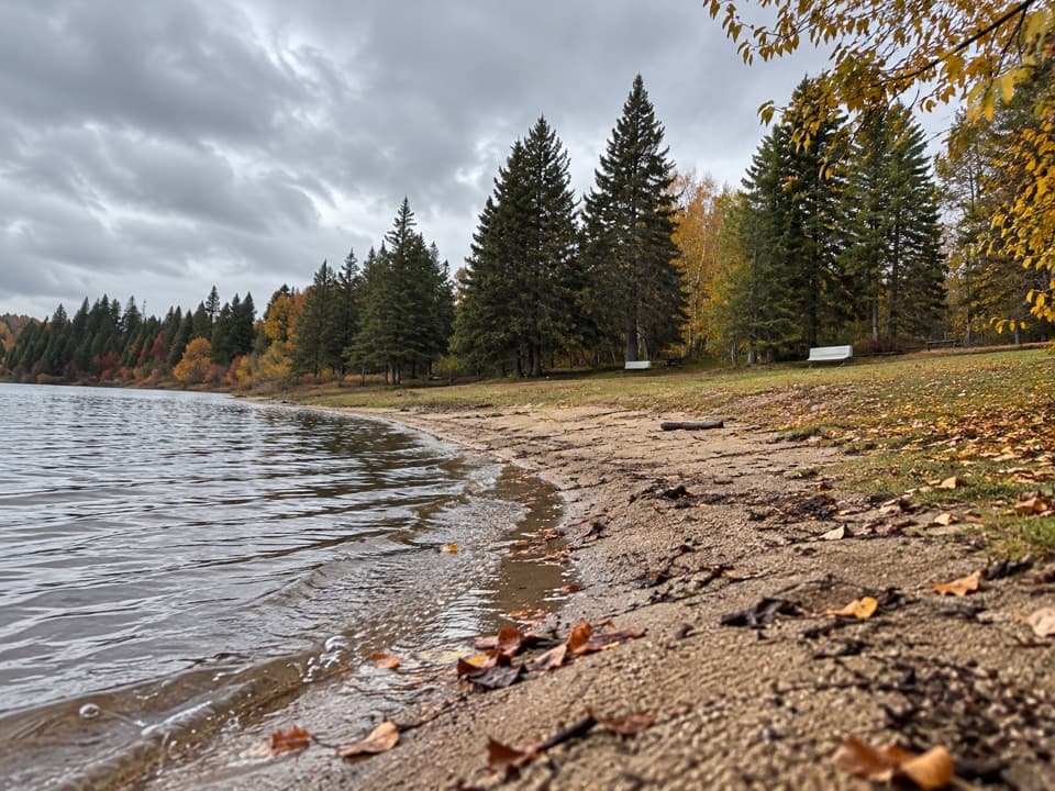 Campground · 7 km awayWhitefish Lake Group CampgroundGroup camping for up to 40 per site beside the lake.
Parkwolf’s Algonquin ranking

The audio tour guide for the drive, plus offline maps, trails, and wildlife heatmaps for when the signal drops.