Byers Lake Mountain Bike Trail in Algonquin Provincial Park

Algonquin Provincial Park, ON

Byers Lake Mountain Bike Trail

Rugged bike route to Byers Lake, York River and a canyon spur.

Length
13km
Time
2.5hr
Elev. change
59m
Difficulty
Moderate
  • Dogs allowed
  • High point 421 m
Parkwolf audio tour107 stories across Algonquin’s roads

Overview

About Byers Lake Mountain Bike Trail

Why go

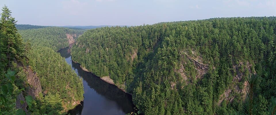
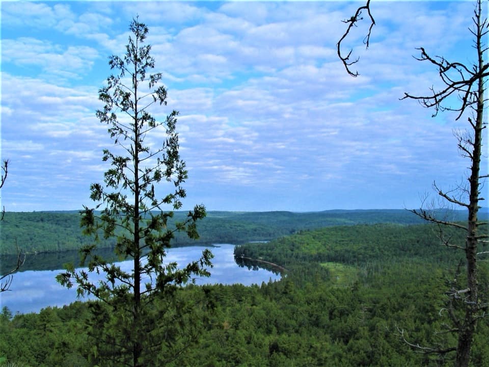
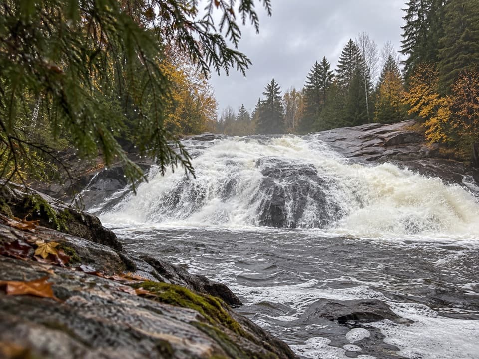
  • Views of the York River, Gut Rapids and Byers Lake.
  • A short forest spur reaches a narrow canyon.

Heads up

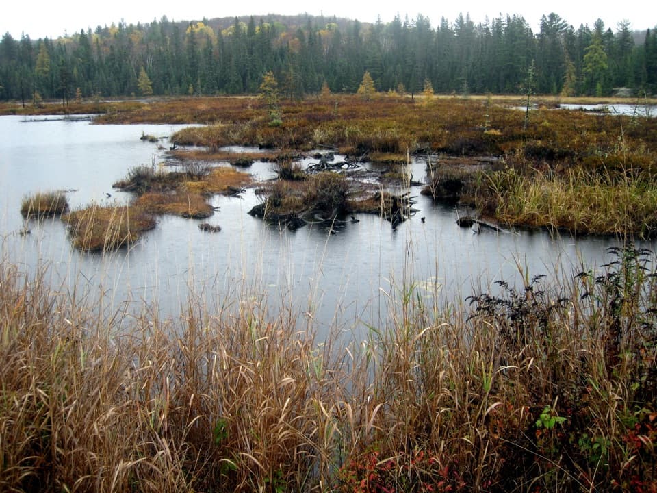
  • Steep grades, rocks, roots, obstacles and mud can slow the ride.
  • Walking permission for the full route is not clearly stated.

Map & elevation

The route

Loading the Algonquin map
Full map
Elevation362–421 m
TrailheadByers Lake Mountain Bike Trailhead, Elephant Lake Road45.19390, -78.15088
Keep this map with you offline in the Parkwolf app

Plan your hike

Before you go

Parking

Parking and vault toilets at the Elephant Lake Road trailhead, about 10 km east of Kingscote Access Point.

Best time to go

Access is from Elephant Lake Road, north of Harcourt and about 10 km east of Kingscote Access Point; parking and vault toilets are available at the trailhead. The listed season is June through Thanksgiving, and a valid Algonquin park permit is required. Dogs are allowed under the park’s general rules: keep them under control on a leash no longer than 2 m and follow posted restrictions.

Safety

The full route is described as a mountain-bike trail; current permission for walking is unclear, so confirm before hiking. Expect steep grades, rocks, roots, obstacles and mud. A valid park permit is required.

4 active Algonquin alerts

  • ClosureProvoking Falls Bridge ClosedThe Provoking Falls bridge on the Highland Backpacking Trail is closed because of safety concerns; the bridge has been removed. - Use the posted reroute, which adds 2.5 km.Official details
  • CautionLow Water on Backcountry Canoe RoutesOntario Parks currently lists low-water alerts for six backcountry canoe-route sections: - Varley Lake from Carl Wilson Lake - Latour Creek north of Rosebary Lake - Carcajou Creek north towards…Official details
See all 4 alerts
A park ranger sits on a dash-mounted phone, talking, as Parkwolf’s Tour Guide plays “Army Cutworm Moths: A Grizzly Bear Buffet” on Grand Loop Road below Dunraven Pass in Yellowstone
Parkwolf Tour GuideThe highest, rockiest slopes around here are a summer buffet for grizzly bears.

Algonquin Tour Guide

Your drive to Byers Lake Mountain Bike Trail, narrated.

Parkwolf is a GPS audio tour guide for Algonquin Provincial Park. As you drive, it chimes in with what’s ahead: hidden gems, upcoming stops, history, geology, and wildlife, right through your car’s speakers.

See the Algonquin audio tour

More stories near here in the app

  • Kingscote Lake Launch and Walk-in Campsites
  • 107 audio storiesacross Algonquin’s roads, triggered by GPS as you drive
  • Wildlife heatmapsfor Moose, Eastern Wolf, Black Bear, and 13 more
  • Works offlinemaps, 39 trails, 66 places, and audio download before you lose signal
  • CarPlay readysimple controls built for the drive
★★★★★
“Fantastic app with many points of information… It’s great to just turn on while you’re driving and it gives you an audio tour of the national Park. We love it!!!!”
JMJamesApp Store review
Download Parkwolf on the App StoreGet Parkwolf on Google Play

4.7 from 8,600+ ratings

Trail guide

Hiking Byers Lake Mountain Bike Trail

The rideByers Lake Mountain Bike Trail is a rugged out-and-back from Elephant Lake Road to Byers Lake:…

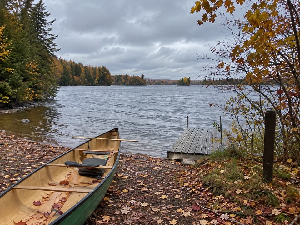
Byers Lake Mountain Bike Trail is a rugged out-and-back from Elephant Lake Road to Byers Lake: 6.5 km each way, or 13 km round trip. It offers views of the York River, Gut Rapids and the lake. The park rates it moderate; steep grades and descents, rocks, roots, obstacles and muddy sections can make riding slow. The park describes the full route as a mountain-bike trail, and current permission for walking it is unclear; confirm with Ontario Parks before hiking. Plan around 2.5 hours for the ride, longer with the spur or stops.

Gut RapidsA separate walking spur leaves the bike route and passes through humid spruce and balsam forest…

A separate walking spur leaves the bike route and passes through humid spruce and balsam forest to a narrow canyon. Allow about 20 minutes. Published distances for the spur differ, so treat its mileage as approximate; it is separate from the 13 km main-route round trip.

Wildlife

Wildlife in Algonquin

All Algonquin wildlife maps

Sighting maps show where each species has been reported across Algonquin. Wildlife moves, so no sighting is guaranteed.

Parkwolf’s Algonquin ranking

Top-rated trails in Algonquin

All 39 trails
  1. 1Barron Canyon TrailModerate · 1.3 km
  2. 2Centennial Ridges TrailChallenging · 10.4 km
  3. 3Booth's Rock TrailChallenging · 5.1 km
  4. 4Track and Tower TrailModerate · 7.5 km
  5. 5Lookout TrailModerate · 2.1 km
  6. 6Mizzy Lake TrailModerate · 10.8 km

Take Parkwolf to Algonquin.

The audio tour guide for the drive, plus offline maps, trails, and wildlife heatmaps for when the signal drops.
4.7 from 8,600+ ratings

Download Parkwolf on the App StoreGet Parkwolf on Google Play