Parking
The High Falls parking area and trailhead are on Peterson Road; follow the brown-and-white hiking sign because the turn-in is easy to miss. The gravel lot is small; a 10–15 vehicle capacity is a visitor estimate, not an official count.
Algonquin Provincial Park, ON
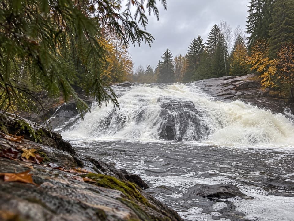
A short forest walk to York River rapids and High Falls.
Overview
Map & elevation
Plan your hike

The highest, rockiest slopes around here are a summer buffet for grizzly bears.
Algonquin Tour Guide
Parkwolf is a GPS audio tour guide for Algonquin Provincial Park. As you drive, it chimes in with what’s ahead: hidden gems, upcoming stops, history, geology, and wildlife, right through your car’s speakers.
See the Algonquin audio tourMore stories near here in the app
“Fantastic app with many points of information… It’s great to just turn on while you’re driving and it gives you an audio tour of the national Park. We love it!!!!”


Trail guide
High Falls Hiking Trail is a forested out-and-back from the High Falls parking area to a rock point beside the York River. The mapped route is about 2.14 km one way, or 4.3 km (2.66 mi) round trip; the published figure is 1.9 km one way, with a 30-minute walking estimate each way. Plan roughly 1.5–2 hours with time to pause at the rapids and falls.
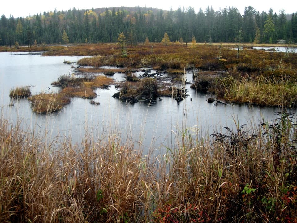
An old road runs through a Red Pine plantation before narrowing into hardwood forest along the river’s west side. A recent visitor account describes two short boardwalks over marshy ground about 1.2 km in. The tread is straightforward at first, then narrows and becomes wetter, rockier and more rooty near the river. Expect small rises and dips rather than a sustained climb; rapids appear through the trees along the way.
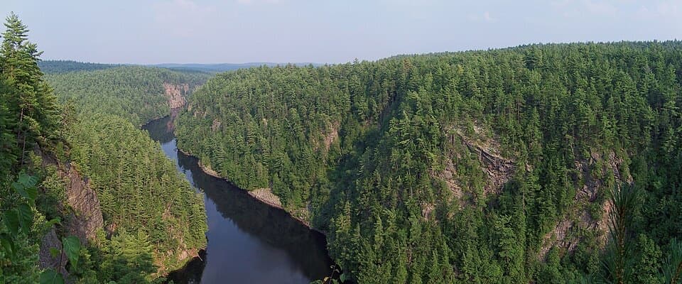
The named route ends at a rock point north of High Falls, where you can look toward rapids upstream and the falls downstream. Visitors sometimes continue on indistinct rock paths for a closer, head-on look or a higher view, but those informal extensions are outside the mapped route. The falls are the signature photo stop. Keep to stable footing: wet rock, crevices and moving water make the river edge hazardous.
The parking area is on Peterson Road; the turn-in can be easy to miss, so look for the brown-and-white hiking sign. The gravel lot is small; a 10–15 vehicle capacity is a visitor estimate, not an official count. A valid Algonquin day-use permit is required. Dogs may use this trail on leash no longer than 2 m. Visitors report biting insects in warmer weather, and the rougher river section can be slippery after rain or in icy conditions.
Wildlife
 1,237 sightingsMooseMost seen around 6 AMSighting map
 245 sightingsEastern WolfMost seen around 7 PMSighting map
 331 sightingsBlack BearMost seen around 7 PMSighting map
 604 sightingsLoonMost seen around 6 PMSighting map
 110 sightingsBald EagleMost seen around 11 AMSighting map
 192 sightingsRiver OtterMost seen around 6 PMSighting map
Sighting maps show where each species has been reported across Algonquin. Wildlife moves, so no sighting is guaranteed.
Keep exploring
Parkwolf’s Algonquin ranking

The audio tour guide for the drive, plus offline maps, trails, and wildlife heatmaps for when the signal drops.