Hoophorn Spur

Quiet alpine spur route to the Annette Plateau
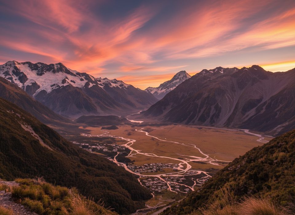
Hoophorn Spur, Aoraki / Mount Cook National Park
InsideAoraki / Mount Cook National Park

Overview

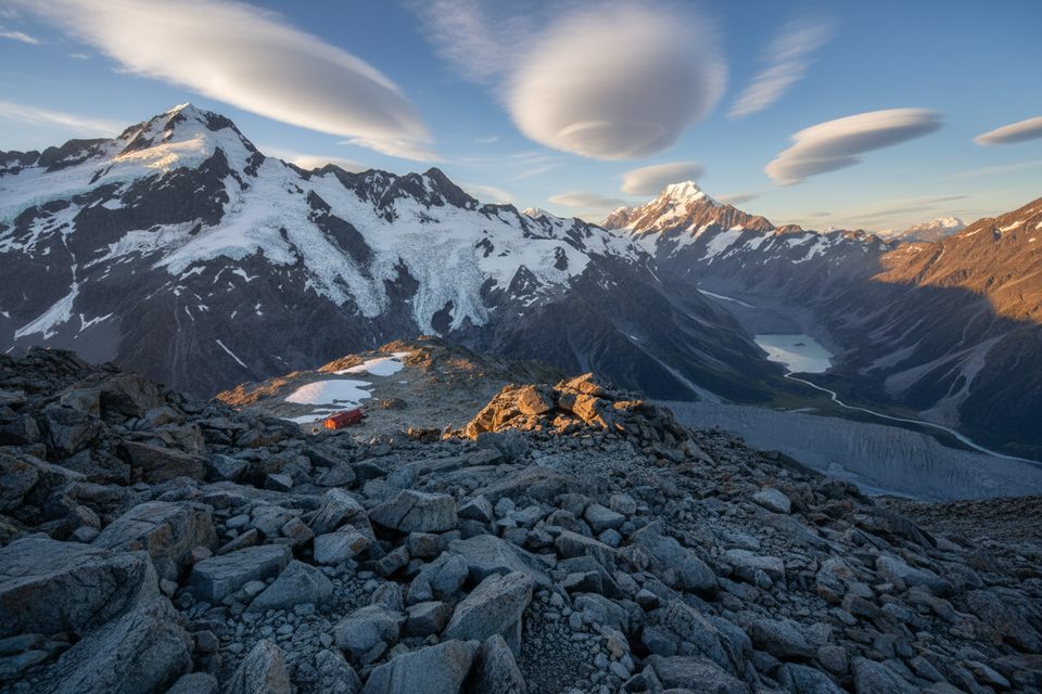
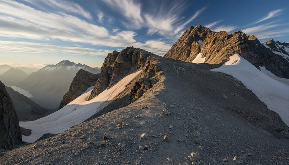
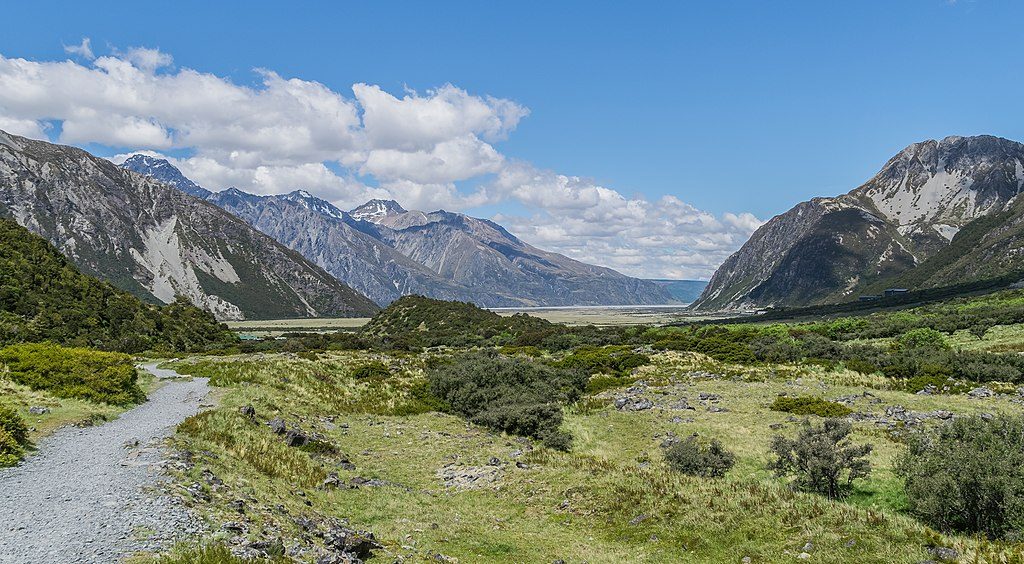
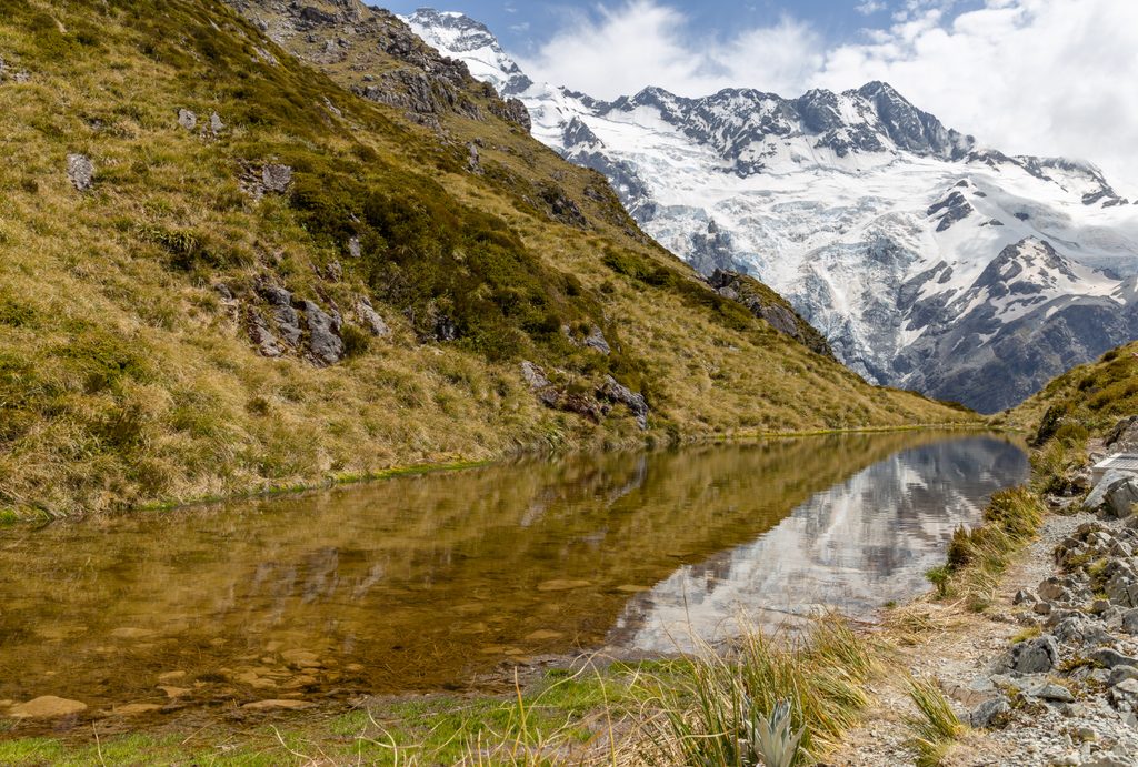
Hoophorn Spur is a rugged alpine route that climbs from Hoophorn Stream up to the upper Annette Plateau, with many parties continuing toward Mt Annette. It flies under most visitors’ radars compared to the park’s marquee tracks, which means bigger views and fewer people.

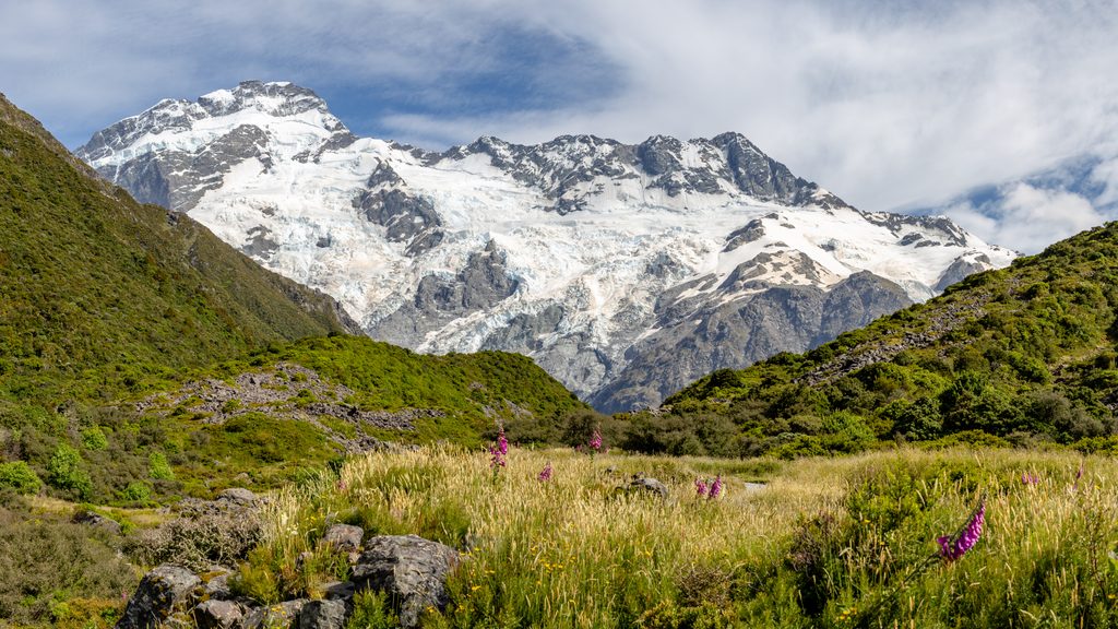
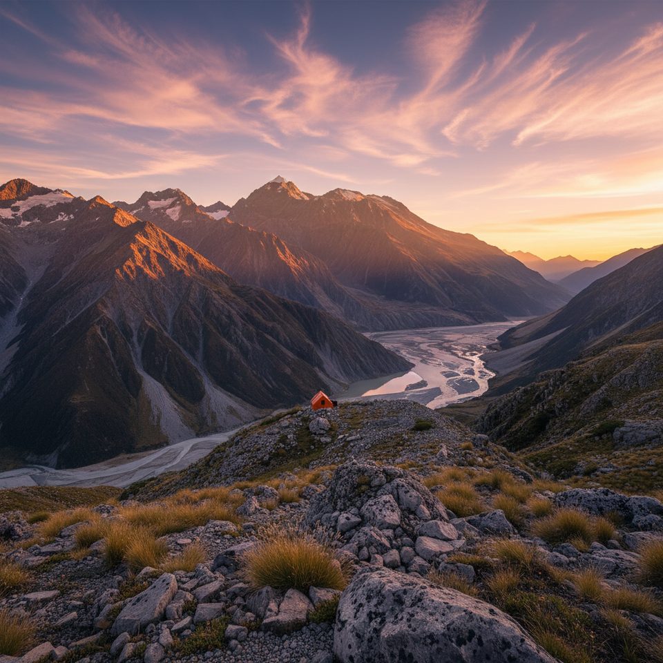
The surrounding skyline is classic Aoraki country—ice, rock, and the serrated profile of nearby peaks. On clear nights you’re under an International Dark Sky Reserve, so the stargazing on bivvy-worthy evenings is superb.

Route at a Glance

  • From the end of a short 4WD track, follow the true right of Hoophorn Stream to about 980 m to bypass scrub.
  • Cross to the true left and climb the scree between the two tributaries labeled near “Hoophorn Stream” on the topo.
  • Aim to gain the ridge west of Pt 1490 (around the “p–h” of “Hoophorn Spur” on the map), then follow the ridge to roughly 2060 m.
  • Traverse a rightward shelf that leads directly toward Mt Annette and the upper Annette Plateau.
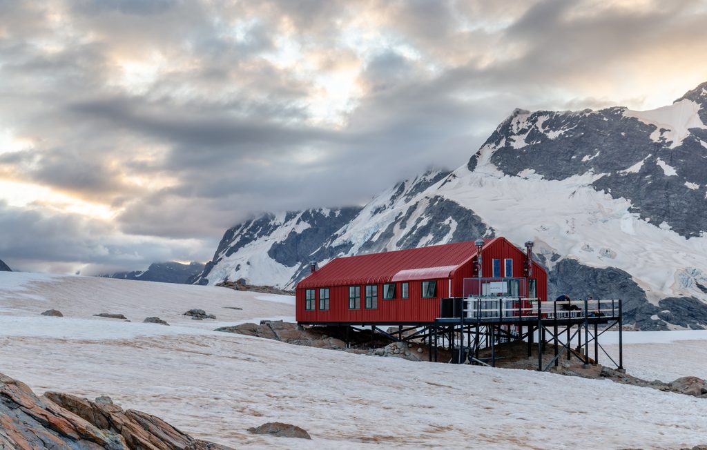
  • A common descent is via the Mueller Hut track—expect a very long day if doing the full link-up.

Difficulty and Hazards

This is an NZ alpine 1+ route (overall length II): manageable for competent alpine trampers but not a marked walk. The lower route-finding through scrub is the crux; upper slopes are less steep than Sebastopol Ridge but still alpine terrain. The scree access slope is avalanche‑prone in winter. Add loose rock, potential cornices after storms, and rapid weather changes to the mix.

Carry solid boots and a helmet; in snow or shoulder seasons add axe and crampons. Check the avalanche advisory before you go and make sure everyone has the skills (and gear) to assess conditions.

Logistics and Amenities

Plan for no amenities at Hoophorn Spur: no toilets, water, bins, shelter, or signage. There’s no formal DOC car park or trailhead; parking is informal at the end of the short 4WD access. If you lack suitable clearance, start from the village/White Horse Hill area and budget significantly more time. Use village or White Horse Hill facilities beforehand and carry all waste out. Register intentions at the visitor centre, and note that dogs and drones aren’t permitted in the park.

Why Go

If you like off‑track efficiency, the stream/scree shortcut can save hours compared to thrashing up the lower spur. The prize is a direct line to the Annette Plateau and commanding alpine views without the crowds typical of nearby marquee routes.

Best Time to Visit

  • Season: Late spring to autumn offers the most straightforward conditions; winter brings avalanche risk on the scree approach.
  • Time of day: Start early—linking to the Mueller Hut descent makes for a big day.
  • Crowds: Generally light here; expect far more people if you exit via the Mueller Hut track.
  • Bonus: On clear nights, the Dark Sky Reserve setting makes for standout stargazing.

Pros

  • Quieter alpine route with big views toward the Annette Plateau
  • Scree/stream shortcut can save hours compared to the lower spur
  • Less steep on the upper ridge than nearby Sebastopol Ridge

Cons

  • No marked track, signage, or facilities; route‑finding through scrub is the crux
  • Winter avalanche risk on the scree slope and standard alpine hazards
  • Very long day car‑to‑car; easiest access uses a short 4WD track

Tips

  • From the 4WD track, stay on the true right of Hoophorn Stream to ~980 m before crossing to the scree.
  • Carry helmet year‑round; add axe/crampons when snow or ice is present.
  • Check the avalanche advisory— the scree access slope is avalanche‑prone in winter.
  • If you don’t have a suitable vehicle, start from the village/White Horse Hill and budget many extra hours.
  • A popular link is up the spur to Annette Plateau and down via the Mueller Hut track—start at dawn.
The Parkwolf tour guide sitting on a phone mounted in a car

Parkwolf Tour Guide

Like a tour guide in your car.

Save the places you found around Aoraki / Mount Cook, then let Parkwolf guide the drive between them.Download Parkwolf on the App Store