
Pros & cons
PROS
- Easy-to-reach viewpoints along Hooker Valley to the Mount Sefton lookout
- Historic Sefton Bivouac nearby for experienced parties seeking an alpine objective
CONS
- Hooker Valley Track is closed beyond the Sefton lookout until at least autumn 2026
- Alpine weather shifts fast and can hide the peak without warning
Overview
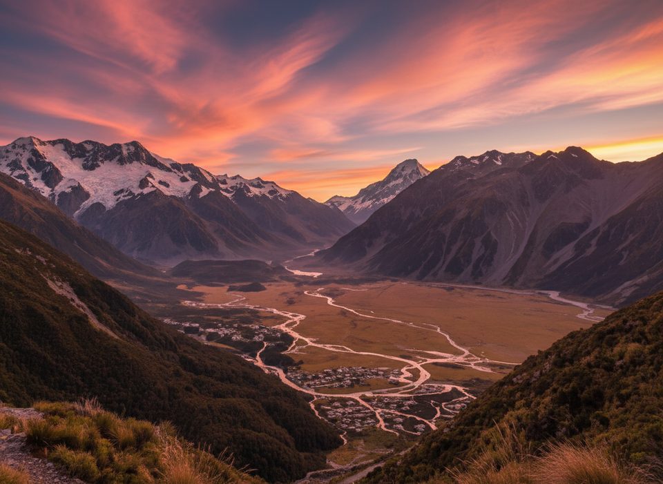
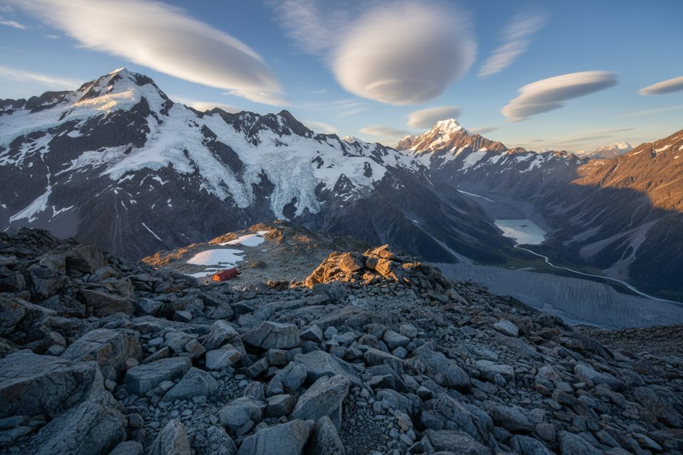
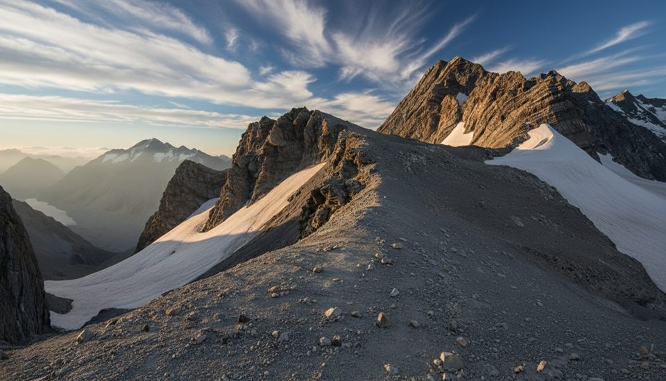
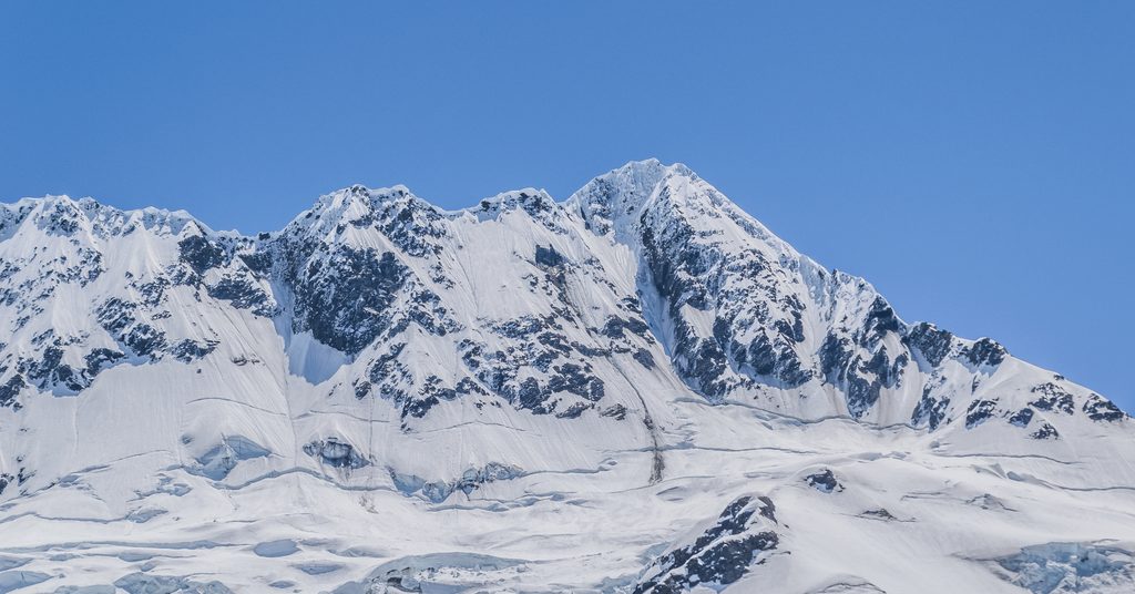
Mount Sefton is a hulking, glaciated Southern Alps peak that anchors the skyline above the Hooker/Mueller valleys. It sits in a park where glaciers cover roughly 40% of the landscape, with classic U‑shaped valleys carved by ice that peaked about 13,000 years ago—so the drama you’re looking at is pure glacier work.
Where to See It
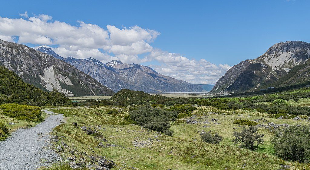
- Kakīroa/Mount Sefton View Lookout on the Hooker Valley Track is the signature roadside-accessible vantage. As of November 2025, the Hooker Valley Track is closed beyond this lookout while a new bridge is built; reopening is expected in autumn 2026. The open section from White Horse Hill car park to the lookout remains accessible.
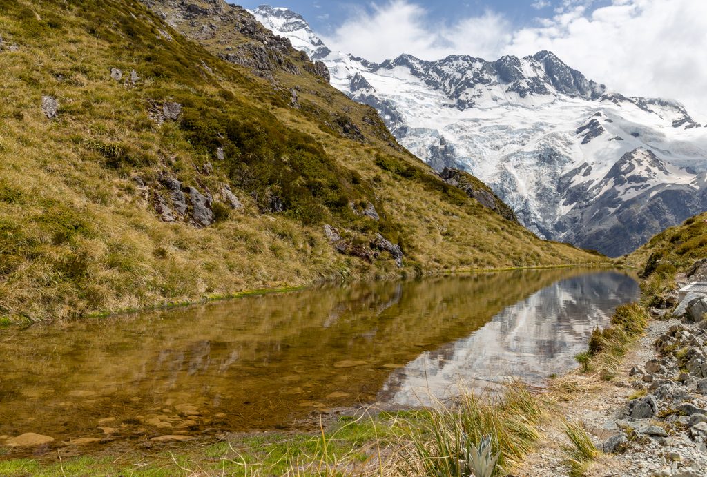
- Alternatives when the upper Hooker Valley is closed: Kea Point and Sealy Tarns—both reached from the same trailhead—also serve up big-shouldered mountain and glacier vistas.
Start at White Horse Hill car park (the main trailhead for Hooker Valley/Sealy Tarns/Mueller Hut). You’ll find toilets on the Hooker Valley Track at Stocking Stream before the turn‑off used for Sefton Bivouac/Hooker Hut.
Nature, Geology, and Wildlife
Expect a mash‑up of hanging glaciers, moraine walls, and proglacial lakes throughout the valley system—a live lesson in how retreating ice sculpts the land. The wider park hosts about 35 bird species; keep an eye out for rarities like the black stilt and pīwauwau/rock wren in rocky, alpine terrain.
Climbing and the Sefton Bivouac (for experts)
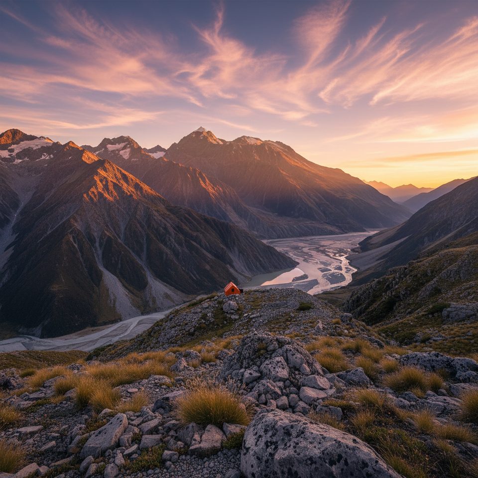
Sefton Bivouac—the oldest hut in the park still on its original site—sits on Sefton’s flanks and is reached by an unmarked, very steep, exposed alpine route suitable only for fit, experienced trampers/climbers with solid route‑finding. The bivvy is first‑come/first‑served (about 3–4 mattresses), has an untreated water tap, and a nearby Denali 400 toilet. Alpine huts in this park share a daily 4:45 pm radio check and weather update; instructions are in‑hut.
Best Time to Visit
Come whenever you have a clear-weather window—cloud can shroud the peak quickly. In peak season, arrive early to secure parking at White Horse Hill. After dark, the broader Aoraki–Mackenzie area’s International Dark Sky Reserve status makes night skies exceptional for stargazing on clear nights.
Practicalities
- Access: Drive State Highway 80 to Mount Cook Village and White Horse Hill car park.
- Current status: With the upper Hooker Valley closed beyond the Sefton lookout, confirm conditions and any detours at the Aoraki/Mount Cook Visitor Centre before you go.
- Connectivity: Mobile coverage on trails is patchy; download maps for offline use.
- Nearby services: Food and fuel are limited and pricey in the village—stock up in Twizel or Lake Tekapo before heading in.
Where it is
-43.6825, 170.0425Tips for Mount Sefton
- 01Start at White Horse Hill car park; the Sefton lookout sits on the open section of the Hooker Valley Track.
- 02As of November 2025, the track is closed beyond the Sefton lookout—confirm status at the Visitor Centre.
- 03If the upper valley is shut or clouded in, pivot to Kea Point or Sealy Tarns for views.
- 04Download offline maps and forecasts—mobile reception on the tracks is patchy.
- 05Pack sun and wind protection; weather changes fast in this alpine basin.
Amenities
Near Mount Sefton
All places →All trails →
1.2 mi awayThe FootstoolShort-window alpine climb with Main Divide views and real glacier travel
1.7 mi awaySefton BivouacTiny historic hut with massive glacier views for skilled hikersLodging · Restroom
2.6 mi awaySealy TarnsSteep stair climb to mirror tarns and sweeping alpine viewsScenic Viewpoint · Picnic Table
2.7 mi awayHoophorn SpurQuiet alpine spur route to the Annette Plateau
3.6 mi awaySefton Bivouac RouteA burly, unmarked grind to NZ's oldest hut and outrageous glacier viewsChallenging · 7.5 mi · 7.5 hr
3.6 mi awayMueller Hut RouteSteep alpine climb to a red hut with knockout Aoraki glacier viewsChallenging · 6 mi · 7 hr
3.6 mi awayBall Pass TrackBig, committing alpine crossing with Aoraki front row viewsChallenging · 18.4 mi · 16.5 hr
3.6 mi awayKea Point TrackShort, easy climb to a front-row Mueller Glacier and Aoraki viewEasy · 2.1 mi · 1 hr