
Place · 0 mi away
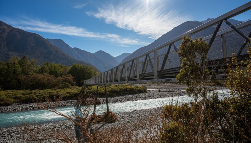
This sturdy footbridge caps the Otira Valley Track and gives you a front‑row seat to a classic South Island alpine valley. It’s the satisfying, obvious turnaround: reach the bridge, soak up the views, and head back the way you came—no need for technical skills if you stop here.
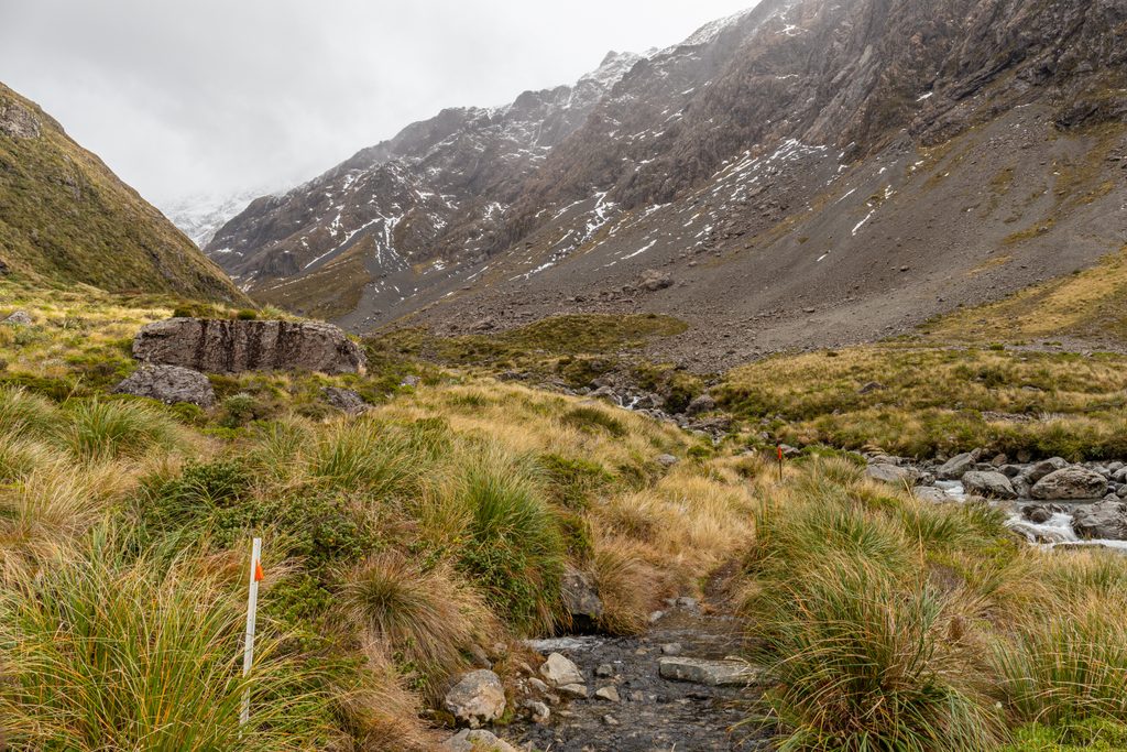
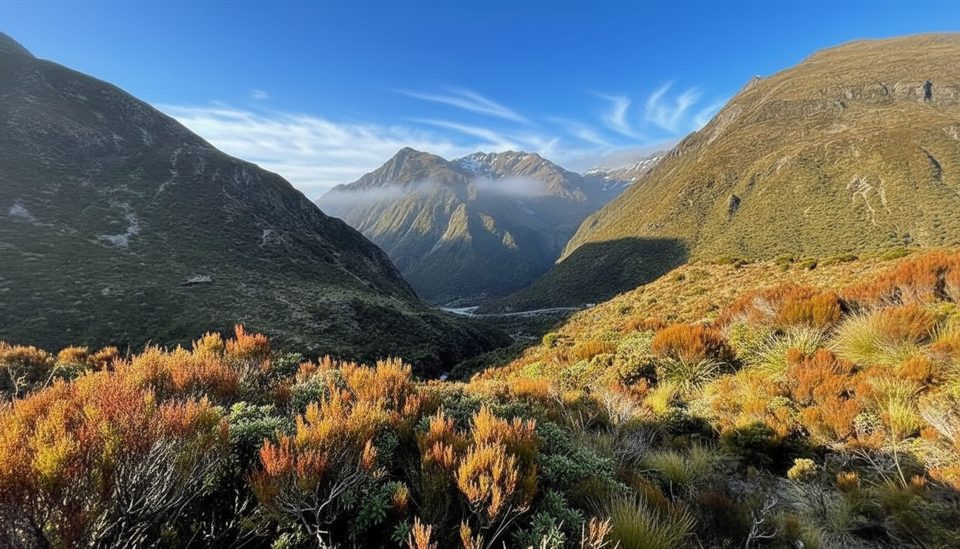
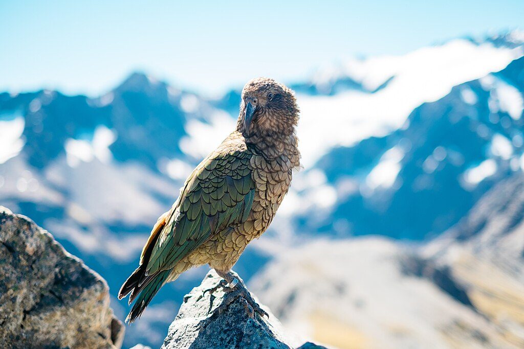
You’re walking beneath Mt Rolleston/Kaimatau through subalpine scrub and tussock, past rocky ribs, scree patches, side streams, and lively cascades. In summer, alpine flowers dot the valley. Keep an eye out for chamois or tahr on the slopes, and you might meet kea near the roadside carpark—don’t feed them.
Start from a tiny roadside carpark on SH73 about 1 km west of the Arthur’s Pass summit (around 7 km from the village). It’s roughly 1.7–1.9 km to the bridge (about 45–60 minutes one way) with ~125 m of climbing on a generally easy grade, though the tread can be rocky/eroded with a brief scree crossing. Long pants are handy where tall tussock crowds the path.
The marked track ends at the bridge. Beyond is an unmarked alpine route for experienced parties only. Avalanche hazard typically runs May–November—even reaching parts of the formed track—so check conditions with the Arthur’s Pass Visitor Centre before you go. Mountain weather flips fast; bring warm layers, a rain shell, sun protection, food, water, and sturdy footwear. After heavy rain, side streams can be tricky or impassable. Treat stream water before drinking. No dogs or bikes.
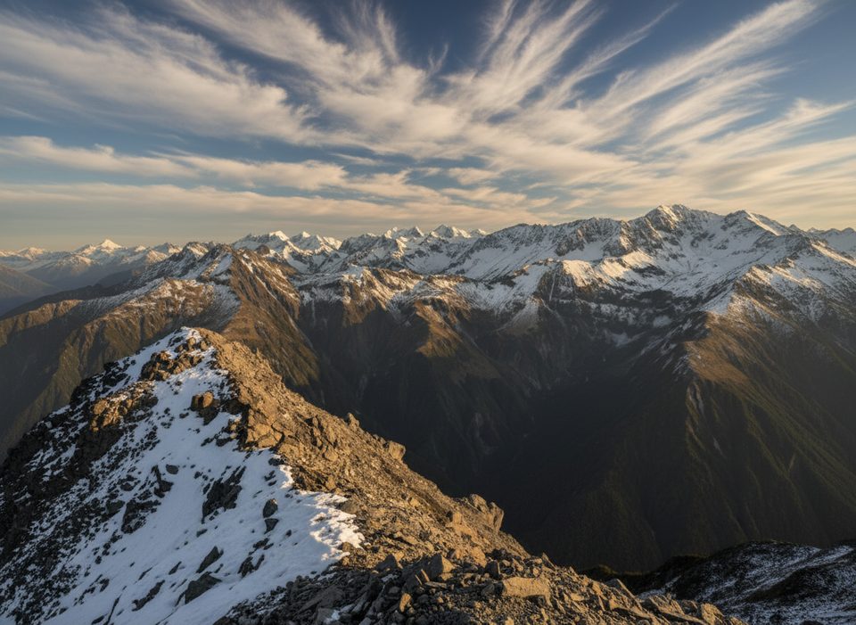
From the bridge, frame the silvery Otira River against jagged peaks and waterfalls; it’s especially dramatic after rain. On clear days, the wide, U‑shaped glacial valley lines up beautifully down‑valley and back toward the divide—easy hero shots without much effort.
None. No toilets, taps, or bins at the carpark, along the track, or at the bridge. Sort facilities in the village and pack out everything.
December–April usually avoids the listed avalanche season. Aim for early morning or late afternoon for softer light and easier parking; late morning to mid‑afternoon tends to be busier. In any season, go on a clear, calm day for the best views; sudden snowfalls can happen even in summer.
Place · 0 mi away
Place · 0 mi away
Place · 0.4 mi away
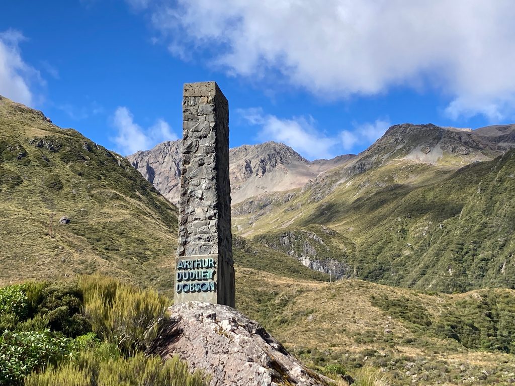
Place · 0.6 mi away
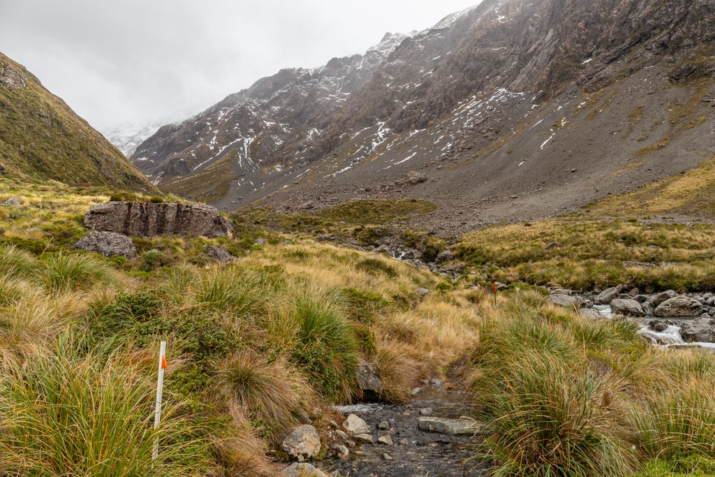
Moderate · 0 mi away
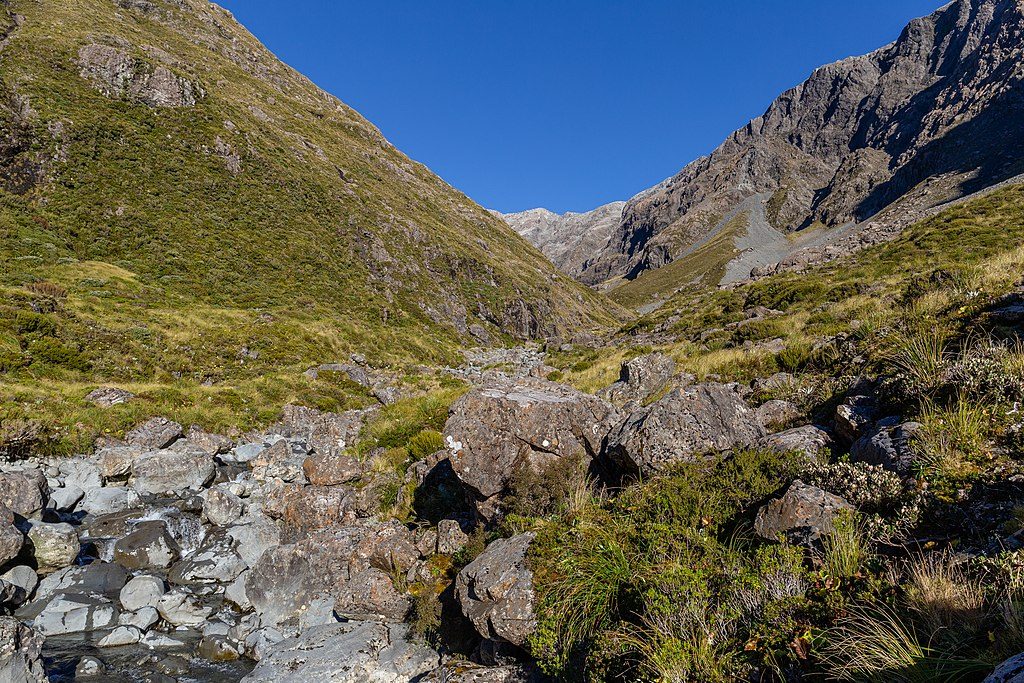
Challenging · 0 mi away
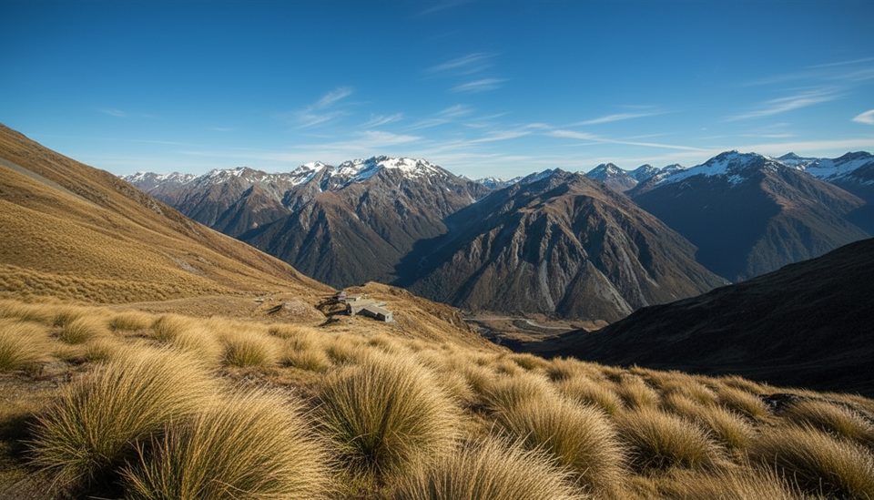
Moderate · 1 mi away
Challenging · 1.4 mi away

Parkwolf Tour Guide
