
Place · 0 mi away
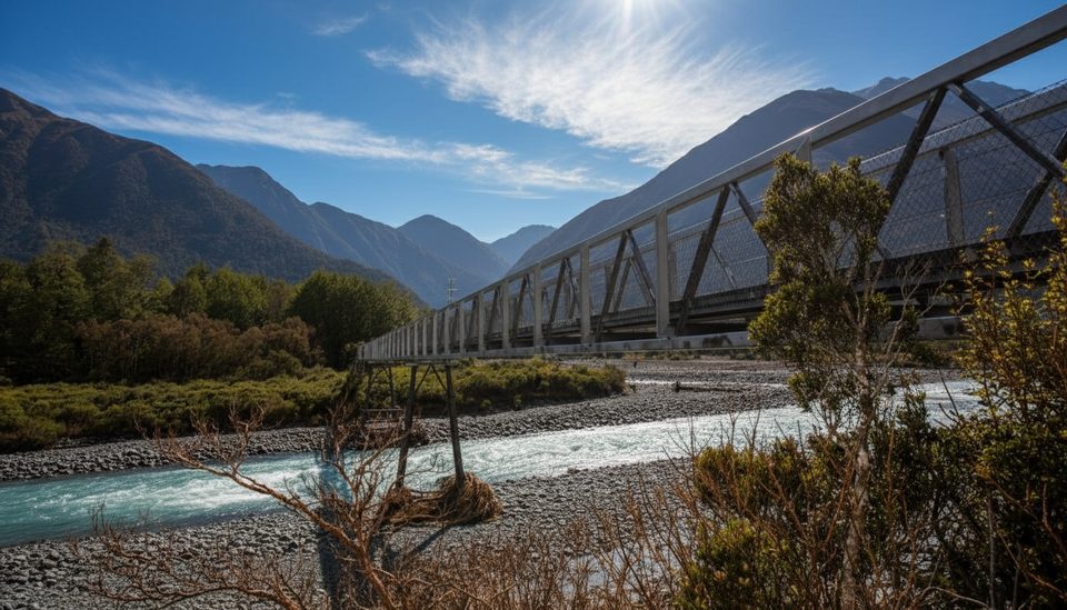
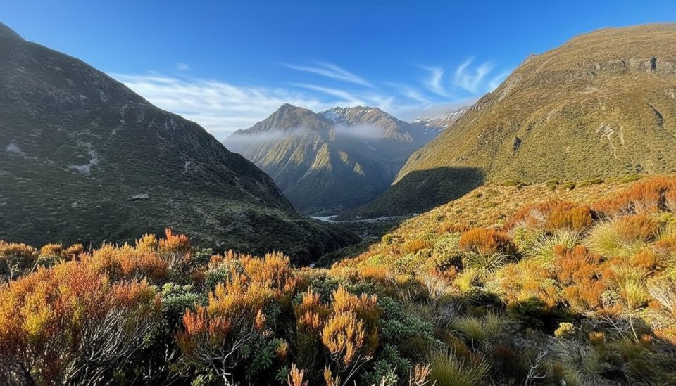
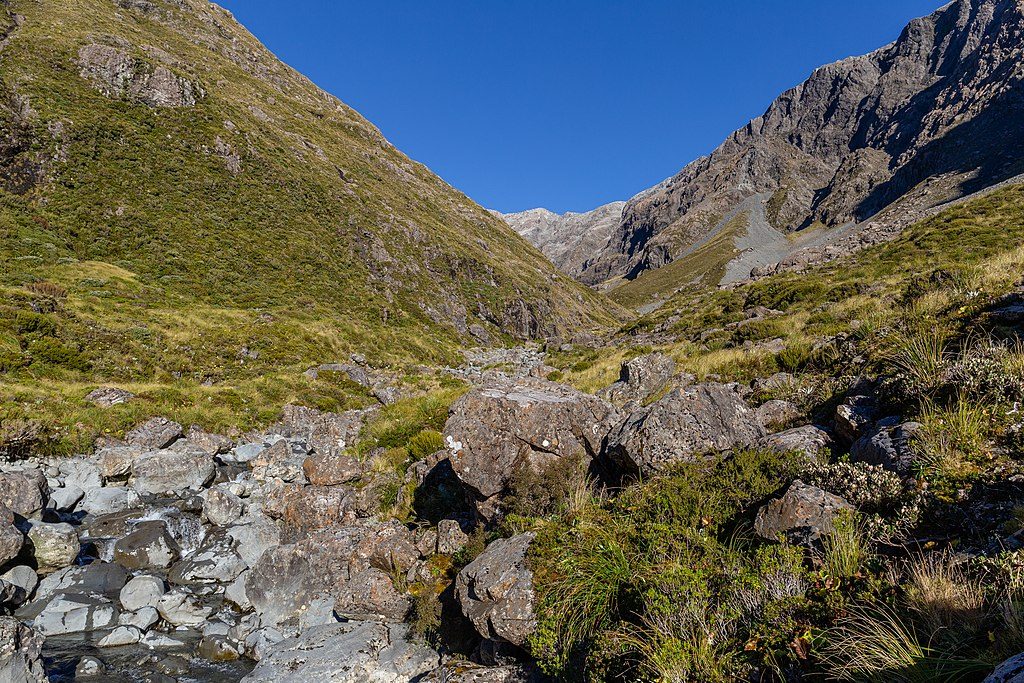
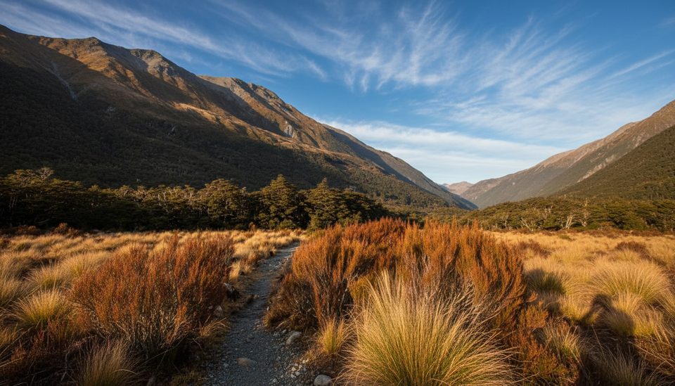
This is the park’s bite‑size alpine sampler: a steady climb over an old glacial moraine, then an easy contour through subalpine scrub and tussock to a narrow footbridge over the Ōtira River. Expect broad views up a classic U‑shaped valley beneath Mt Rolleston/Kaimatau. The formed, marked track officially ends at the bridge; beyond is alpine travel only for experienced parties.
Plan on about 2 km one‑way to the footbridge, typically 45–60 minutes each way for most walkers. The tread is rough in places—rocky, rooty, and occasionally wet—so sturdy footwear pays off.
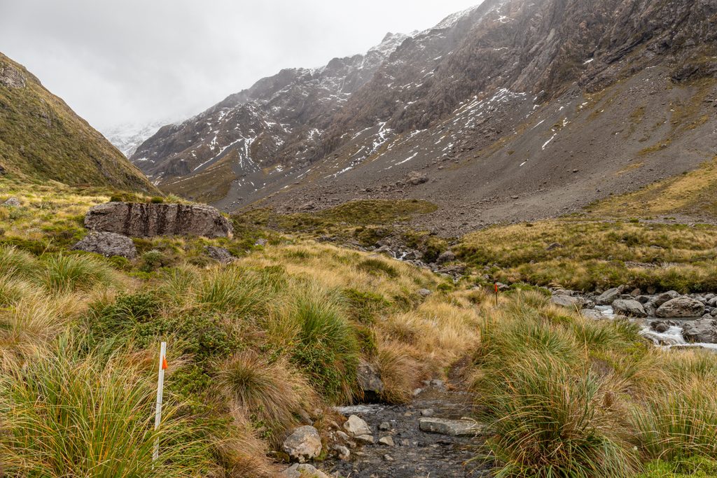
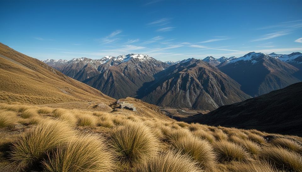
Open alpine country with tussock and hardy subalpine shrubs, small cascades crossing the path, and on clear days sweeping ridgelines in both directions. In late spring to early summer (roughly late September–December), look for large white alpine daisies brightening the valley.
The trail starts from a very small pull‑off carpark on SH73 about 1 km west of the Arthur’s Pass summit (roughly 7 km from the village). It’s easy to miss—watch for Lake Misery nearby and slow down. If it’s full, an alternate approach begins at the Temple Basin carpark via the Arthur’s Pass Walking Track to the Lake Misery junction that leads into the valley.
This valley is avalanche country from May to November—avalanche paths cross the track as far as the bridge, and terrain becomes complex beyond. Weather turns fast above the bushline; good visibility matters. After heavy rain, side streams can be difficult or impassable. Past the bridge, you’ll need sound alpine judgment, route‑finding skills, and appropriate gear.
Bring sturdy boots, warm layers, a waterproof jacket, sun protection, food, and water. In snow or shoulder seasons, carry snow travel gear and be ready to turn back if visibility or conditions deteriorate.
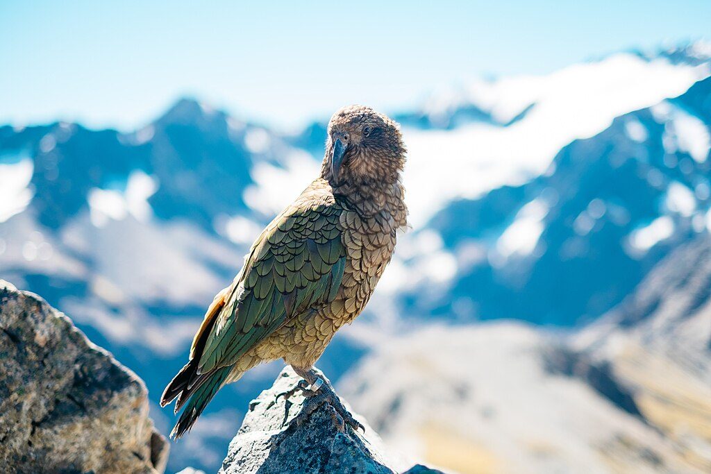
Kea often patrol the carpark—curious, clever, and hard on rubber trim. Enjoy the encounter but don’t feed them.
Summer and early autumn offer lower avalanche risk and those alpine flowers. Go on a clear day for the skyline payoff, and start early to nab a spot in the tiny carpark. The footbridge makes an ideal turnaround and photo stop on any fine day.
Place · 0 mi away
Place · 0 mi away
Place · 0.4 mi away
Place · 0.6 mi away
Challenging · 0 mi away
Moderate · 1 mi away
Challenging · 1.4 mi away
Easy · 1.4 mi away

Parkwolf Tour Guide
