
Place · 0 mi away
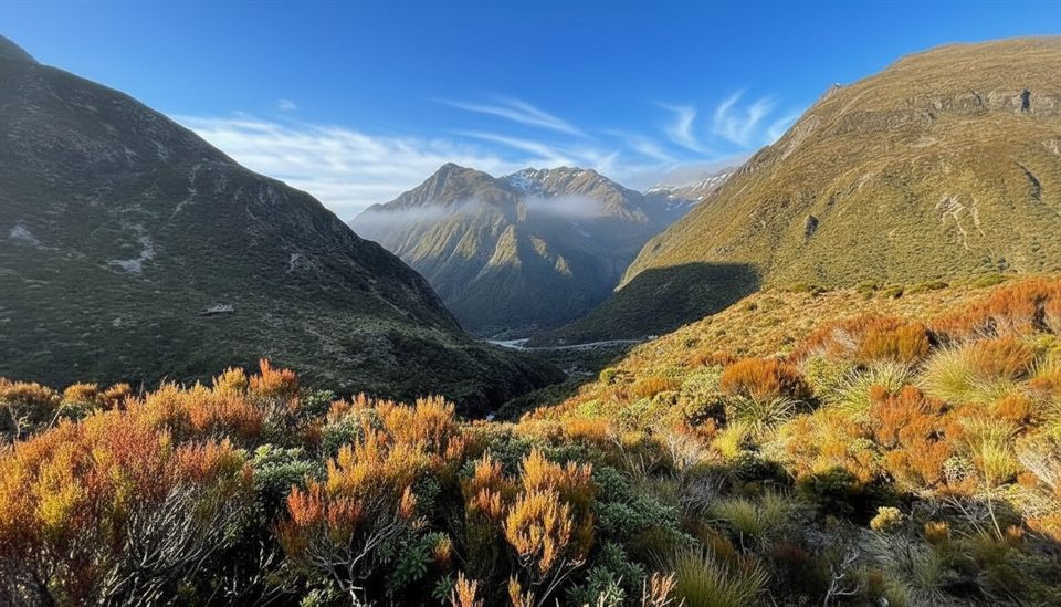
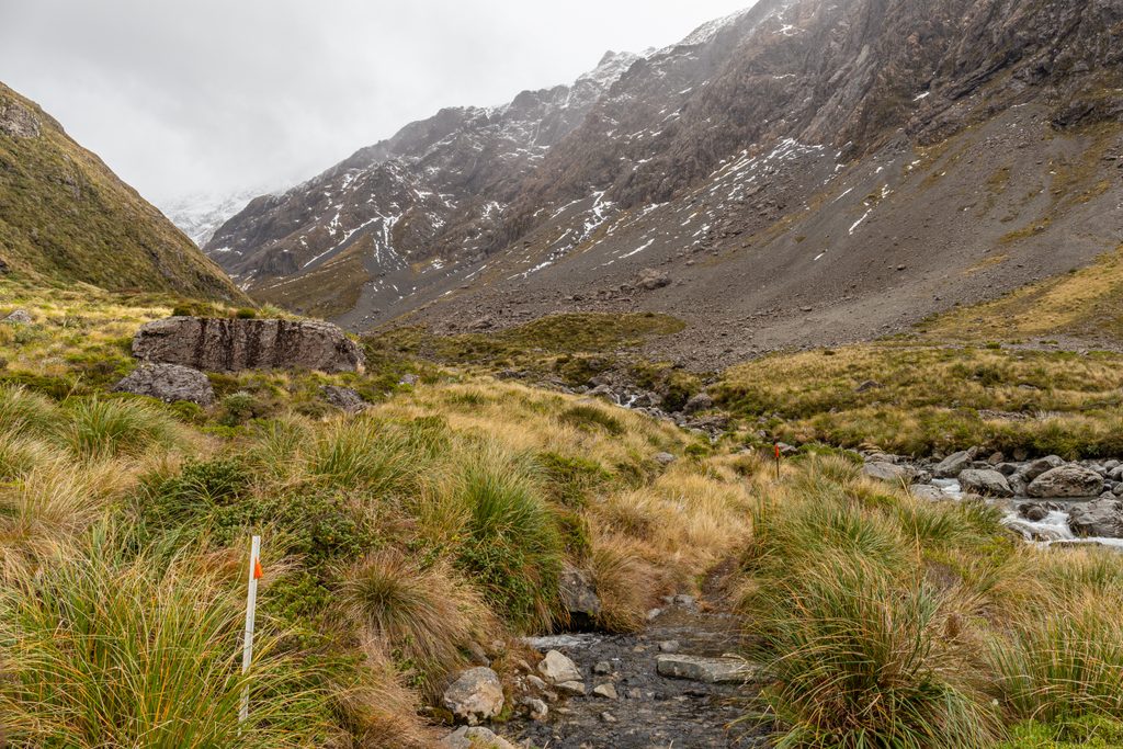
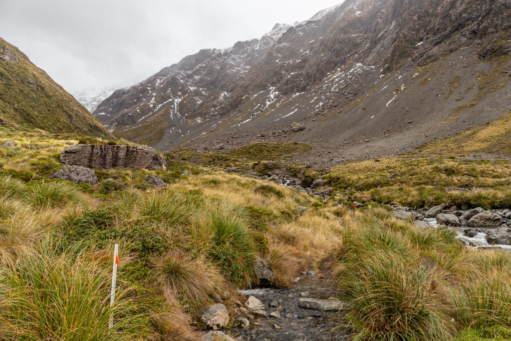
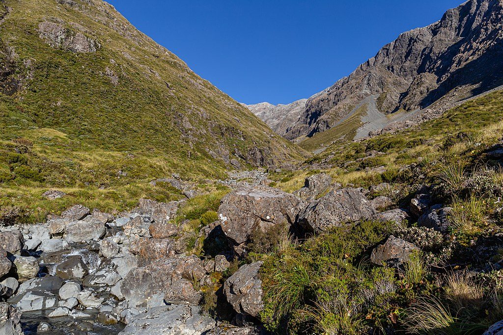
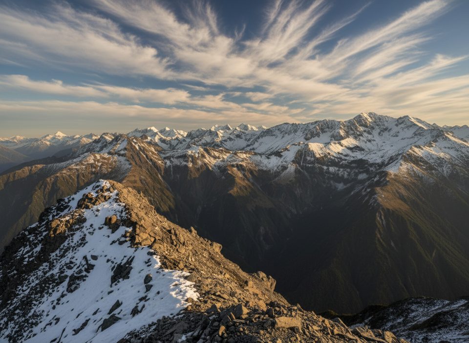
This is a bare‑bones trailhead on SH73 that drops you straight into classic alpine scenery. Think tussock, scree, and a glaciated U‑shaped valley under the northern flanks of Mt Rolleston/Kaimatau. It’s a fine place to stage a simple DIY picnic if you’re self‑contained, but there are no facilities—use the village before or after.
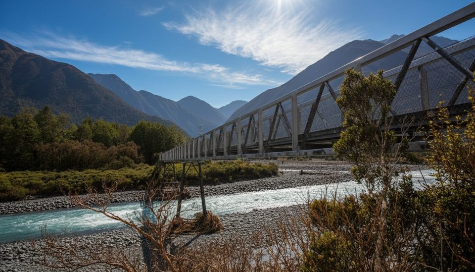
You’re on the Otira Valley Track, an out‑and‑back to the Otira River footbridge. Expect roughly 3.5 km return, 1–1.5 hours, with about 169 m of gain. The path is rocky with flowing water in places and a few slick stream crossings—sturdy footwear (and even poles) make it more fun. Views are continuous, and in summer the alpine flowers add a nice touch.
Beyond the footbridge the sign switches tone: it’s for experienced alpine trampers only. Route‑finding becomes more involved. Some walkers push about 45 minutes past the bridge for pools and small waterfalls beside the track—great natural picnic spots if conditions are good and you know your limits.
There are no designated tables or shelter at the car park. If you’ve packed lunch, aim for a sheltered rock or the river flats along the track, especially near those pools beyond the bridge when conditions allow. Pack out everything—this is a fragile alpine environment.
Mountain weather turns on a dime here: hot and sunny to cool and breezy in no time. Carry warm layers, a rain shell, sun protection, and enough food and water. From May to November, avalanche danger affects this valley—check conditions with the Arthur’s Pass Visitor Centre before heading out in those months. Good visibility matters above the bush line.
Summer brings alpine flowers and generally easier conditions. The car park is tiny, so aim for earlier in the day to find a spot. There are no set hours, but you’ll enjoy softer light and fewer people if you start in the morning or late afternoon on fair‑weather weekdays.
Place · 0 mi away
Place · 0 mi away
Place · 0.4 mi away
Place · 0.6 mi away
Moderate · 0 mi away
Challenging · 0 mi away
Moderate · 1 mi away
Challenging · 1.4 mi away

Parkwolf Tour Guide
