
Place · 0 mi away
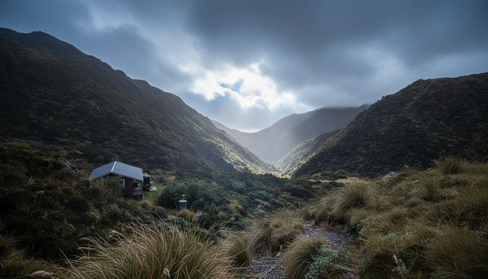
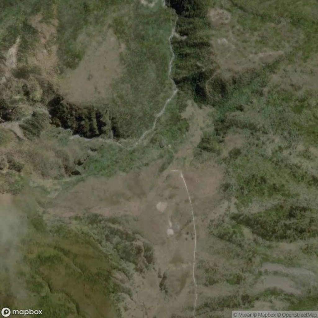
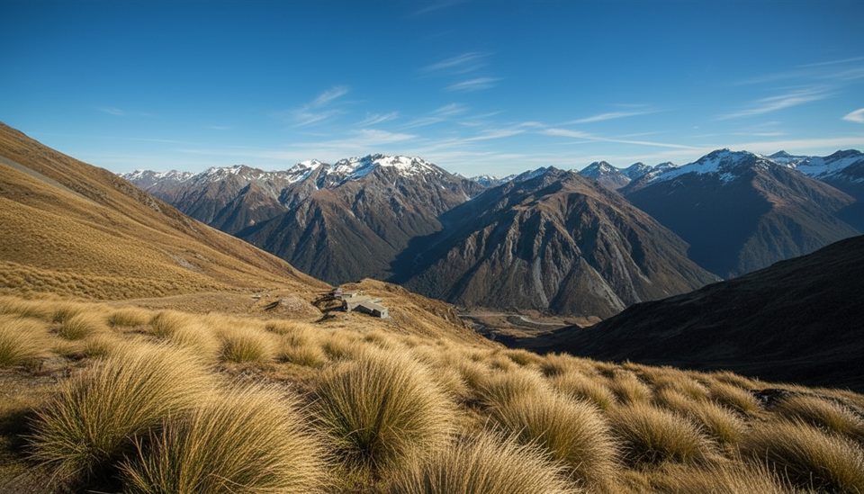
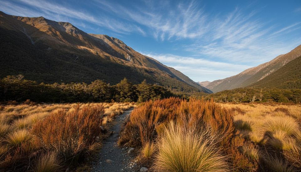
Goat Pass (1070 m) is the crux saddle on the classic Deception–Mingha crossing of the Main Divide. It’s a wild, committing place—more about river travel and judgment than groomed trail. When the weather cooperates, the subalpine flats and tussock around the pass feel big and remote; when it doesn’t, you’ll be glad you respected it.
Most trampers go west→east: Morrison Footbridge to the Deception River, up past Upper Deception Hut, then a steep side stream to Goat Pass Hut, over the pass on boardwalks, down the Mingha past Mingha Bivouac to Greyneys Shelter. Expect roughly 26–28 km total. Normal parties take on the order of 13–14 hours end‑to‑end (often split over two days); very fit groups in low flows sometimes do it in 8–10 hours. Starting west→east means you meet the most consequential Deception crossings early and can turn back if levels are unsafe.
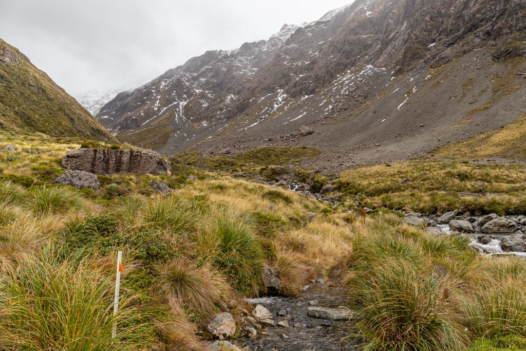
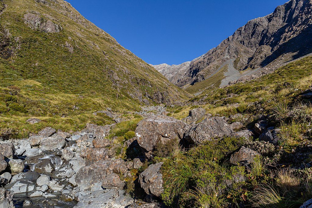
Travel ranges from boulder‑hopping riverbeds to short marked bush sections, then open subalpine scrub and tussock across the pass on protective boardwalks. Keep an eye out for whio/blue duck in the Deception—give them space and silence.
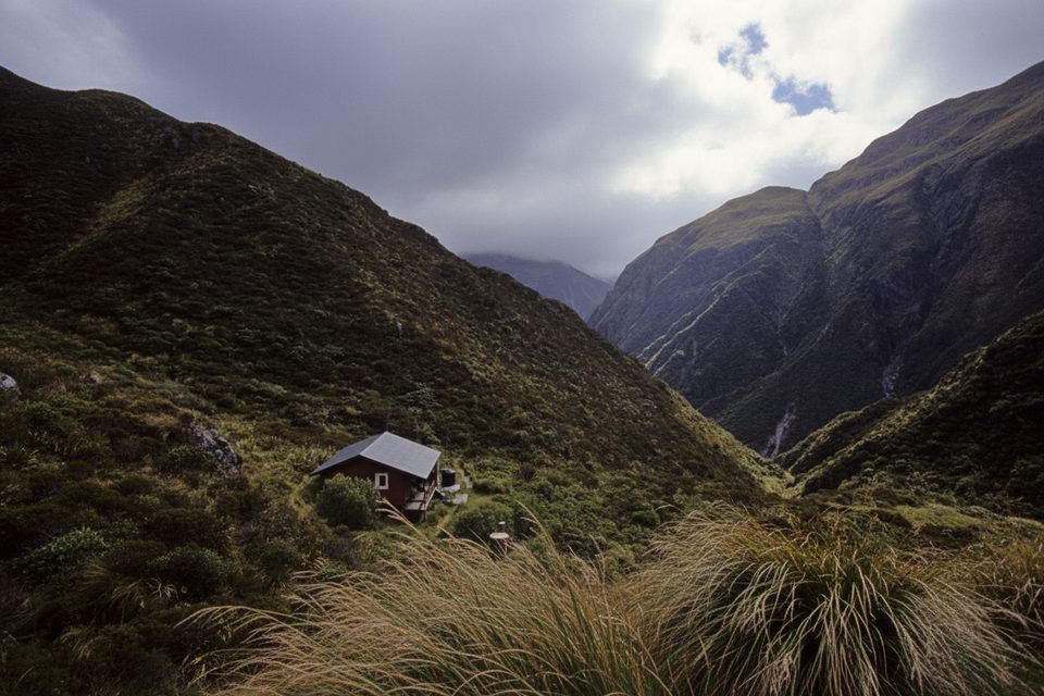
Goat Pass Hut sits near the pass with 20 bunks (standard DOC fees; first‑come, first‑served). There’s no fireplace and it can be very cold. A hut radio links to the Arthur’s Pass Visitor Centre during office hours. Upper Deception Hut and Mingha Bivouac are basic shelters you’ll pass en route.
It’s a point‑to‑point, so use a shuttle or two cars (Morrison Footbridge and Greyneys Shelter). Parking at the west end is limited and not ideal for multi‑day roadside parking. Greyneys Shelter has a long‑drop toilet and parking. Public toilets are available in Arthur’s Pass village. Navigation markers are intermittent in riverbeds—bring proper maps (e.g., NZTopo50 BV20) or a GPX as backup to real navigation skills.
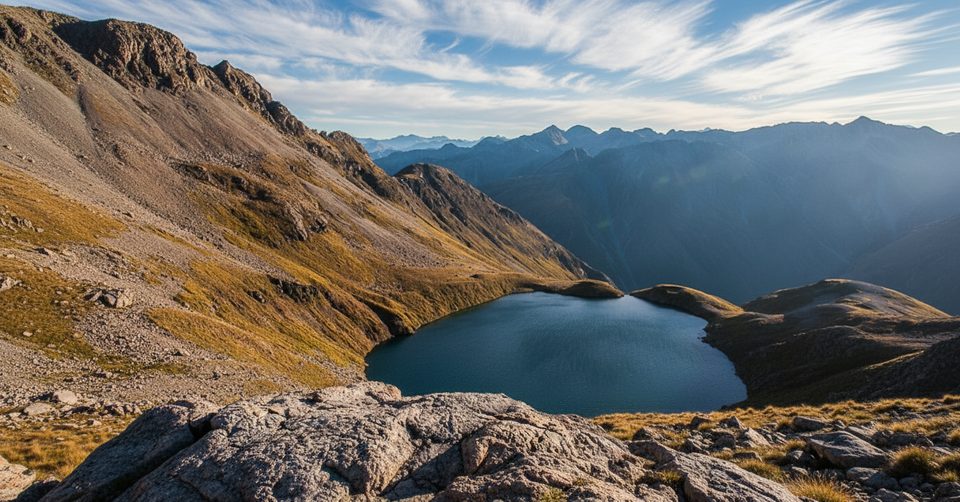
From Goat Pass Hut, a cairned scree/tussock route leads to Lake Mavis (allow 4–5 hours return). Only go in settled, snow‑free weather; treat winter/spring terrain with avalanche respect. Return exactly the way you came—do not attempt to descend the outlet waterfalls.
Aim for settled forecasts and low river flows. Start at first light to keep generous margins for rising water and slow sections. If conditions deteriorate in the Deception, set a hard turn‑around and stick to it.
Place · 0 mi away
Place · 1 mi away
Place · 1.3 mi away
Place · 1.7 mi away
Moderate · 3.3 mi away
Challenging · 3.3 mi away
Moderate · 3.4 mi away
Easy · 3.6 mi away

Parkwolf Tour Guide
