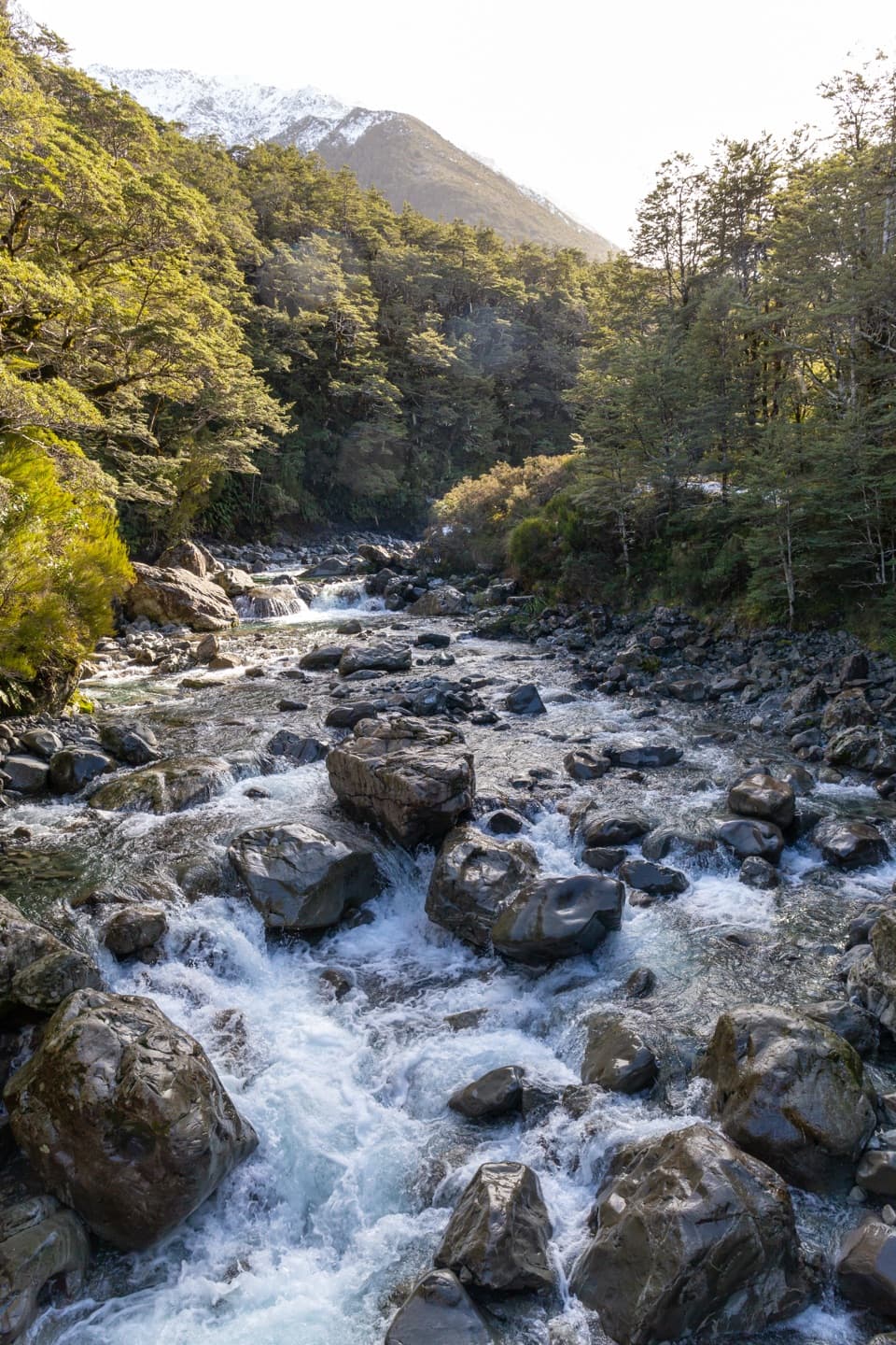
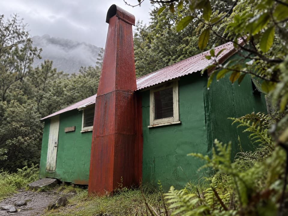
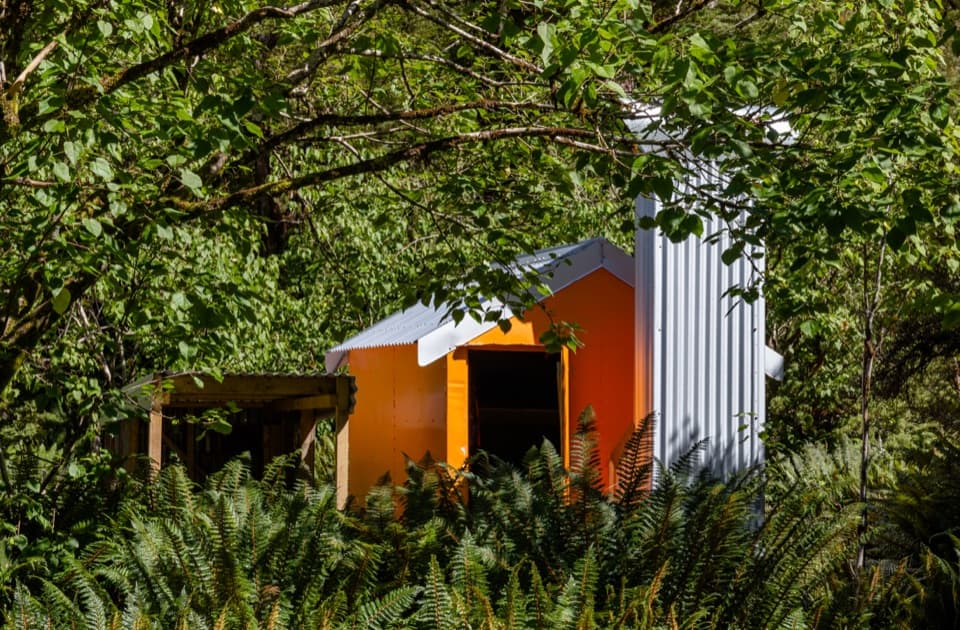
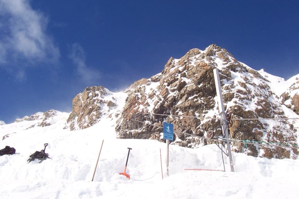
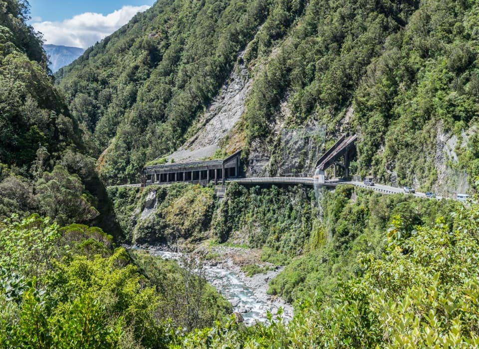
Goat Pass Hut in Arthur's Pass National Park

Lodging · Arthur's Pass National Park

Goat Pass Hut

A 20-bunk stop on a demanding alpine traverse

Photo: CC BY 4.0
Type
Lodging
Nearest trail
Right here
  • Restrooms

Hear the audio tour

Greyneys Shelter and Old Coach Road

Overview

About Goat Pass Hut

Why stop

  • A genuine overnight stop in a striking alpine valley.

Heads up

  • Long approaches, cold exposure and up to 30 river crossings.

Map

Where it is

Loading the Arthur's Pass map
Full map
LodgingGoat Pass Hut-42.90155, 171.62482
Keep this map with you offline in the Parkwolf app

Plan your stop

Before you go

2 active Arthur's Pass alerts

  • CautionFlood damage and active slip on Harper Pass RouteFlood damage and an active slip make the western Harper Pass Route hazardous; expect difficult river crossings and avoid the slip during rain.Official details
  • CautionFlood damage on route to Sudden Valley BivvySignificant flood damage has washed away much of the route to Sudden Valley Bivvy; access is possible only when rivers are low.Official details
Arthur's Pass alerts
A park ranger sits on a dash-mounted phone, talking, as Parkwolf’s Tour Guide plays “Army Cutworm Moths: A Grizzly Bear Buffet” on Grand Loop Road below Dunraven Pass in Yellowstone
Parkwolf Tour GuideThe highest, rockiest slopes around here are a summer buffet for grizzly bears.

Arthur's Pass Tour Guide

Your drive to Goat Pass Hut, narrated.

Parkwolf is a GPS audio tour guide for Arthur's Pass National Park. As you drive, it chimes in with what’s ahead: hidden gems, upcoming stops, history, geology, and wildlife, right through your car’s speakers.

Recorded for this place

Greyneys Shelter and Old Coach Road
0:00 / 0:25
“You're nearing Greyneys Shelter, where I'd stop for a gentle half-hour walk with a little road history. The Old Coach Road loop is just over a kilometre, through forest on part of the original coach route.”

Plays as you drive up to Goat Pass Hut in the Parkwolf Arthur's Pass Tour Guide.

More stories near here in the app

  • Ōtira Valley Track
  • Temple Basin and Dobson Nature Walk
  • Jacks Hut and Bealey Chasm
  • Ōtira Viaduct Lookout
  • 42 audio storiesacross Arthur's Pass’s roads, triggered by GPS as you drive
  • Wildlife heatmapsfor Kea, New Zealand Falcon, Blue Duck, and 13 more
  • Works offlinemaps, 49 trails, 59 places, and audio download before you lose signal
  • CarPlay readysimple controls built for the drive
★★★★★
“Fantastic app with many points of information… It’s great to just turn on while you’re driving and it gives you an audio tour of the national Park. We love it!!!!”
JMJamesApp Store review
Download Parkwolf on the App StoreGet Parkwolf on Google Play

4.7 from 8,600+ ratings

Guide

More about Goat Pass Hut

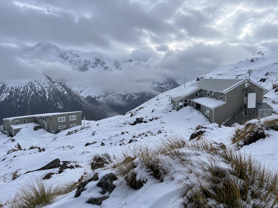
A remote overnight stopGoat Pass Hut is a standard 20-bunk backcountry hut in a hollow just north of Goat Pass, on the…

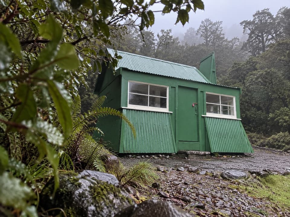
Goat Pass Hut is a standard 20-bunk backcountry hut in a hollow just north of Goat Pass, on the classic 2–3 day Mingha–Deception traverse across the Southern Alps. It suits well-equipped trampers with previous backcountry experience, not a short roadside stop; the route also forms part of Te Araroa. DOC marks bookings as required, so confirm current payment details through its booking system before setting out.

The route is the commitmentThe eastern approach from Greyneys Shelter takes about five hours; the western approach from…

The eastern approach from Greyneys Shelter takes about five hours; the western approach from Morrisons footbridge is listed at eight to nine hours and includes riverbed travel, scrambling and boulder hopping. The Deception River section has up to 30 compulsory crossings, and timing varies with river conditions. Do not attempt the route during or after heavy rain, when levels can rise quickly. Goat Pass can be extremely cold; summer, autumn and early winter are generally the best seasons, while winter snow can bring avalanche risk.

A self-supported nightThe hut has 20 bunks with mattresses and non-flush toilets.

The hut has 20 bunks with mattresses and non-flush toilets. Its tap water is untreated and should be boiled. There is no fireplace, so bring sleeping gear, your own cooker and utensils, and all food for the stay.

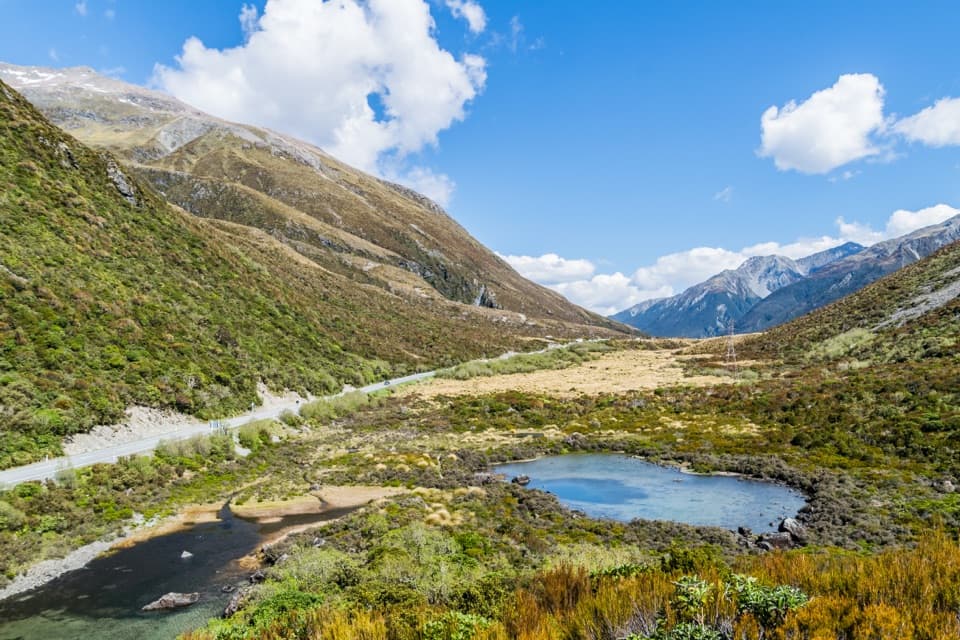
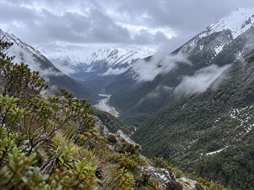
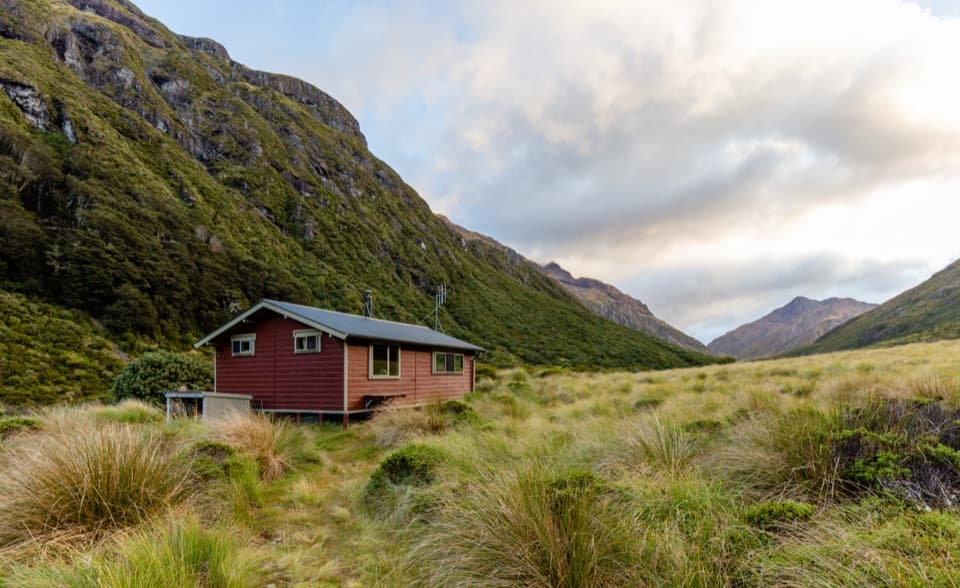
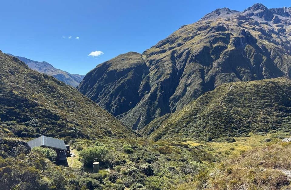
In the Deception ValleyFrom the hut, the view looks down the valley between steep alpine slopes.

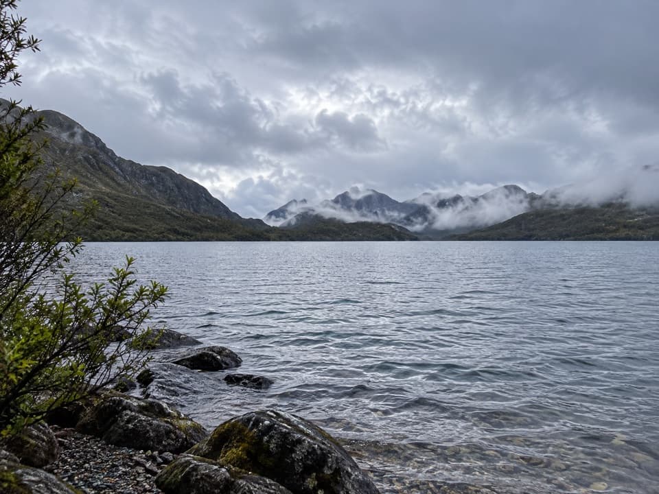
From the hut, the view looks down the valley between steep alpine slopes. In the available hut photograph, the small building sits at the lower edge of the frame; include it with the valley behind to show how tucked away the shelter is. A community hut record dates it to 1974 and notes that Over Forties Tramping Club volunteers replaced the porch decking in 2018.

Wildlife

Wildlife in Arthur's Pass

All Arthur's Pass wildlife maps

Sighting maps show where each species has been reported across Arthur's Pass. Wildlife moves, so no sighting is guaranteed.

Keep exploring

Near Goat Pass Hut

See it all on the map

Trails nearby

More stops nearby

Parkwolf’s Arthur's Pass ranking

Top sights in Arthur's Pass

All 59 places
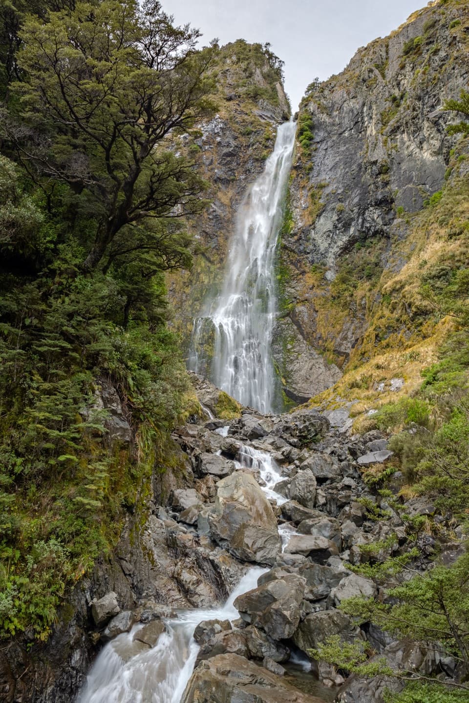
  1. 1Devils Punchbowl FallsSight
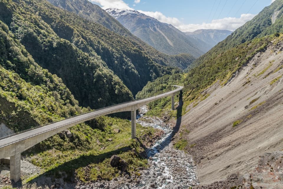
  2. 2Ōtira Viaduct LookoutSight
  3. 3Avalanche PeakSight
  4. 4Jacks HutSight
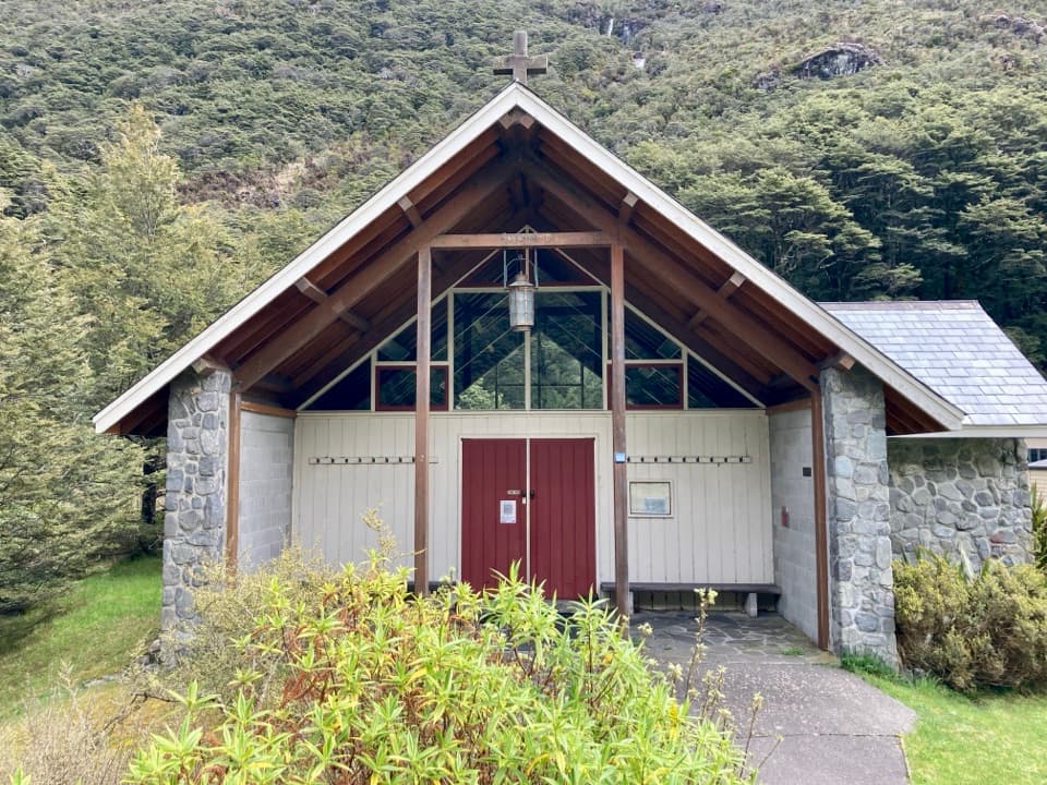
  5. 5Arthur’s Pass ChapelSight
  6. 6Ōtira Gorge Rock Shelter LookoutSight

Take Parkwolf to Arthur's Pass.

The audio tour guide for the drive, plus offline maps, trails, and wildlife heatmaps for when the signal drops.

4.7 from 8,600+ ratings

Download Parkwolf on the App StoreGet Parkwolf on Google Play