
Place · 1 mi away
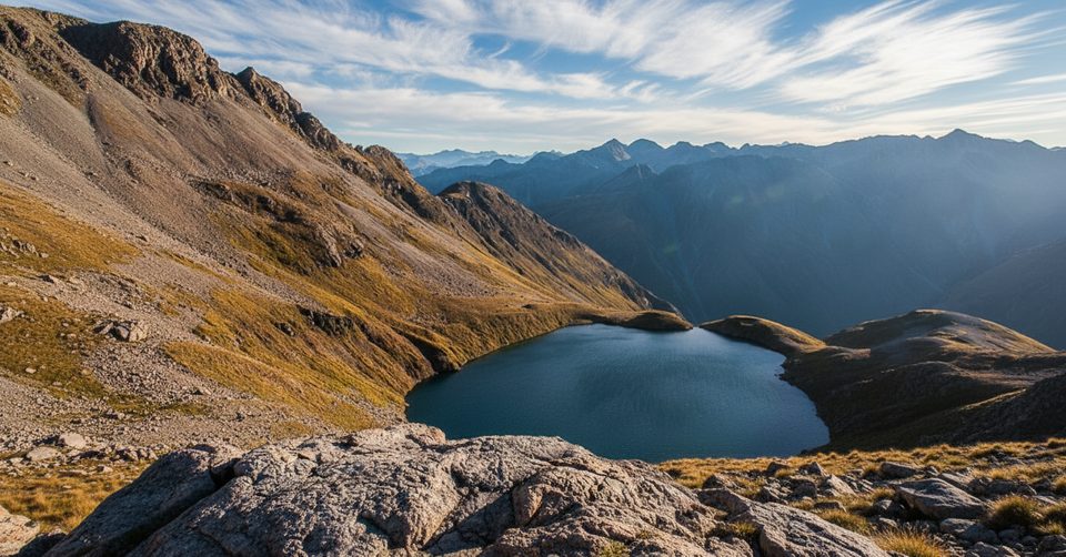
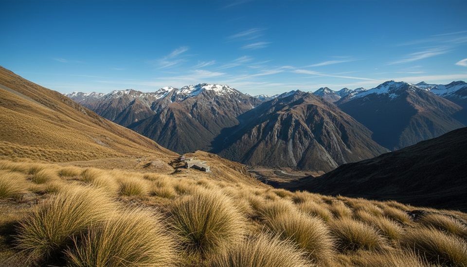
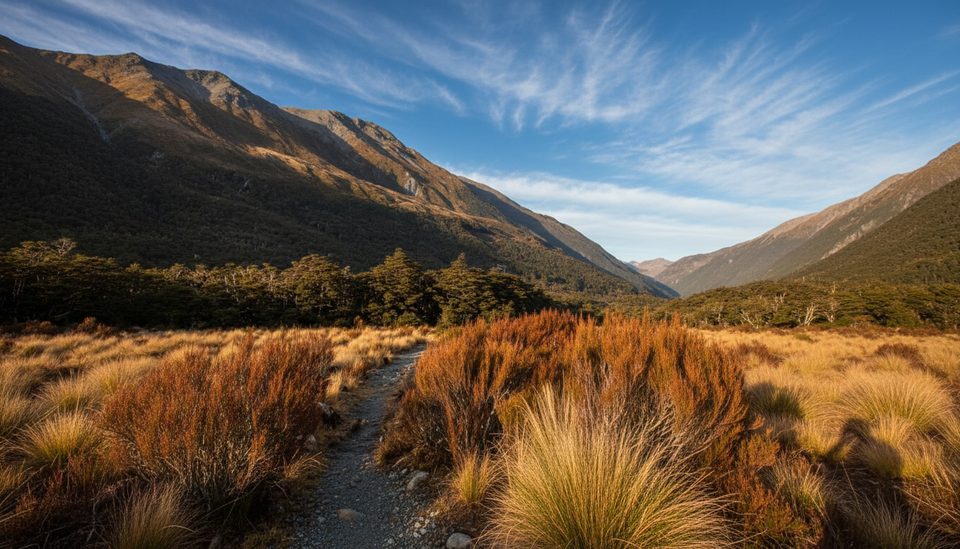
High on a bench beneath Mt Oates, Lake Mavis is a true alpine perch—remote, wind‑scoured, and worth the grind if you like your lakes earned. Think steep tussock and scree above Goat Pass, a cairned ridge instead of a formed track, and the kind of solitude you only get once the crowds stop at the hut.
Most parties come from the east via Greyneys Shelter on SH73: up the Mingha Valley past Dudley Knob and Mingha Bivvy to Goat Pass Hut. From the west, the longer Deception River route starts near Morrisons footbridge and also reaches Goat Pass Hut. Both valleys involve numerous river crossings that can become dangerous or impassable after rain.
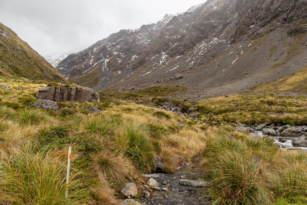
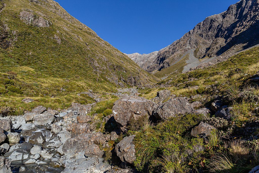
From the pass, allow roughly 2 hours and a 500 m climb. Head up the steep spur east of the pass on tussock and scree, then follow cairns along the ridge to the lake. This section is unmarked, exposed in places, and demands confident off‑track navigation—save it for clear weather.
Summer and autumn are the go: snow has usually receded and days run longer and warmer. Avalanche hazards are a real factor from roughly May to November (and whenever snow lingers), including around Mingha Bivvy. Rivers in both Mingha and Deception rise fast—don’t commit if levels are high or the forecast is grim.
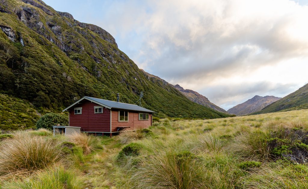
You’ll find flat-ish spots around the rocky lake margins for a bivvy or tent; bring a groundsheet to protect your floor. There are no facilities at the lake. Goat Pass Hut sits just north of the pass, and Greyneys Shelter at the road end has toilets. Treat water taken from the lake or streams.
Target a stable summer or early‑autumn weather window. Start early from Goat Pass to make the most of firm morning travel and to leave plenty of margin for the steep descent. Skip this side trip in heavy snow or after significant rain when rivers are up.
Place · 1 mi away
Place · 1 mi away
Place · 1.9 mi away
Place · 2.6 mi away
Moderate · 4.3 mi away
Challenging · 4.3 mi away
Moderate · 4.4 mi away
Easy · 4.5 mi away

Parkwolf Tour Guide
