
Place · 0 mi away
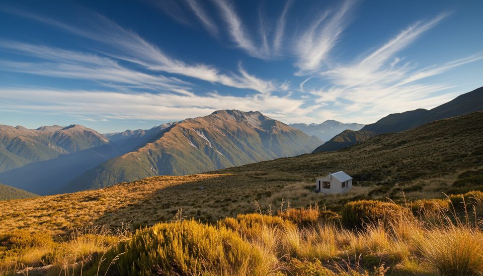
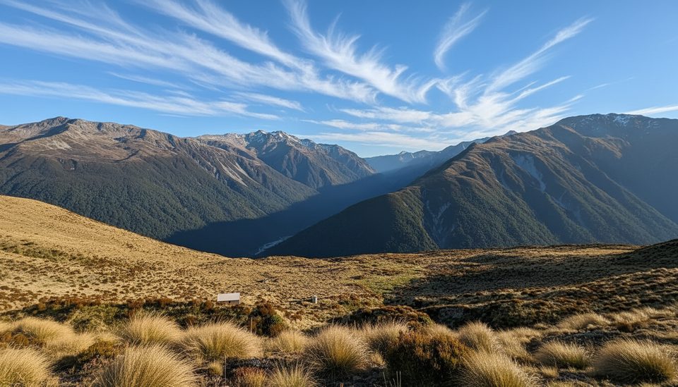
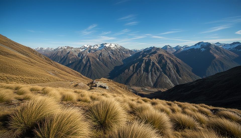
A classic West Coast tops wander: climb to Carroll Hut, pop above the bushline, then meander along the Kelly Range to a string of alpine tarns. It’s tougher than it looks—steep and rooty in the forest, then open and unmarked on the tops—but the payoff is big skies and a panorama across the Taramakau and Taipo valleys.
The forest gives way to rolling tussock tops punctuated by shallow tarns that often freeze in winter. On clear days you’ll scan to Tara Tama, Mt Alexander and across to the Tasman Sea. In summer, a quick dip in a warm spell is possible at the tarns.
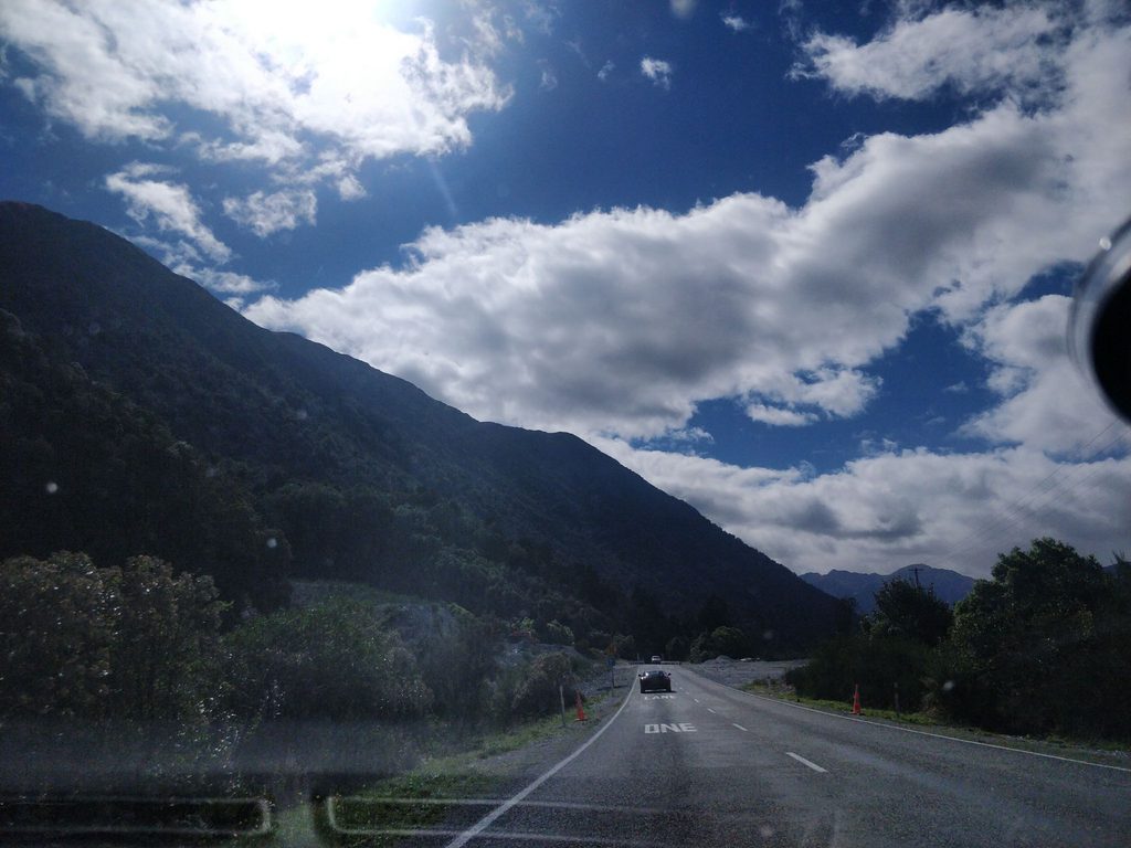
DOC grades the track to Carroll Hut as advanced, and the tops travel is unmarked and exposed. In winter the route can be icy and one or more avalanche paths cross the track; when snow is about, bring the skills and kit to match. Weather swings fast—set turn‑around times and carry a map/compass or GPS. Car parks along SH73 have had thefts reported; keep valuables with you and nothing visible in vehicles.
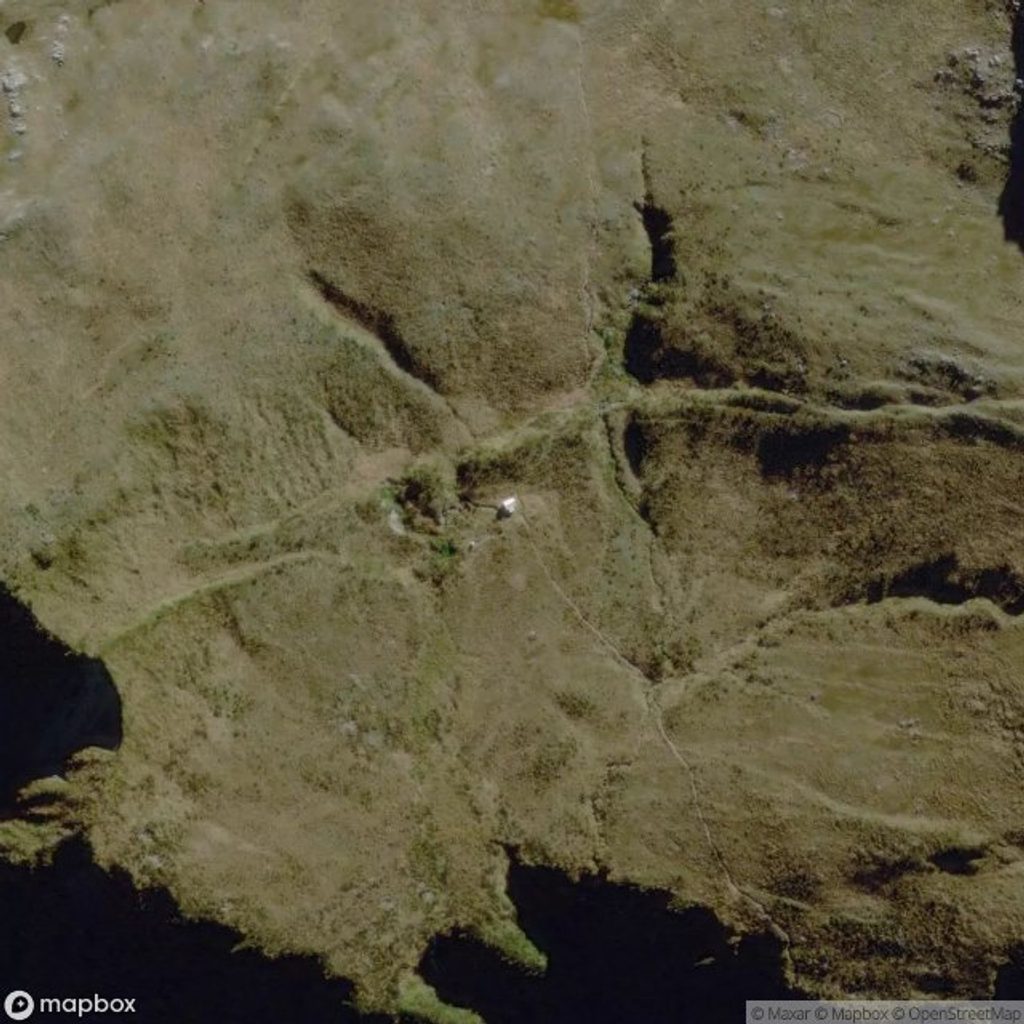
Carroll Hut has 10 bunks with mattresses, a basic toilet, and water from a nearby stream. At the trailhead you’ll find a large gravel car park and a basic toilet. Historic access from the Carroll tops toward the Taipo has been washed out in lower Seven Mile Stream—retrace your route unless you’re set up for serious river travel and flows are safe.
You’re in classic Arthur’s Pass glacial country—U‑shaped valleys below, shallow depressions on the tops holding the tarns. Kea are regular on alpine tops; enjoy them but don’t feed them.
Late summer through autumn brings the most settled weather and unfrozen tarns. Winter can be spectacular but demands full alpine judgment and equipment. Aim for a clear‑weather day; the tops are superb in good visibility and committing in clag.
Place · 0 mi away
Place · 0.2 mi away
Place · 2.7 mi away
Place · 2.8 mi away
Challenging · 1.2 mi away
Moderate · 7.5 mi away
Challenging · 7.5 mi away
Moderate · 8.4 mi away

Parkwolf Tour Guide
