Parking
Use the gravel Kellys Creek car park off SH73, about 3 km north of Ōtira; the marked track starts there.
#9 of 49 trails in Arthur's Pass
Arthur's Pass National Park, CB · WC
A steep forest climb to a hut above the Taramakau.
Overview
Carroll Hut Track is a 5 km return tramp from the gravel Kellys Creek car park off SH73 to Carroll Hut, then back the same way. It climbs about 760 m in roughly 2.5 km each way, moving from native forest into subalpine scrub and open tussock. The hut sits below Kelly Saddle; on a fine day, the saddle behind it looks down the Taramakau River toward the West Coast. The mileage is short, but the climb is not. DOC rates it Advanced and allows six hours return, a sensible plan if you want time to manage the rough ground and enjoy the basin.
 Parkwolf’s verdictIs this the hut walk for you?
Map & elevation
Plan your hike

The highest, rockiest slopes around here are a summer buffet for grizzly bears.
Arthur's Pass Tour Guide
Parkwolf is a GPS audio tour guide for Arthur's Pass National Park. As you drive, it chimes in with what’s ahead: hidden gems, upcoming stops, history, geology, and wildlife, right through your car’s speakers.
Recorded for this trailhead
Kellys Creek and Carroll Hut“You're approaching Kellys Creek, the start of the steep walk to Carroll Hut. Allow six hours return, climbing about seven hundred and sixty metres through forest to a tussock basin.”
Plays as you drive up to this trailhead in the Parkwolf Arthur's Pass Tour Guide.
More stories near here in the app
“Fantastic app with many points of information… It’s great to just turn on while you’re driving and it gives you an audio tour of the national Park. We love it!!!!”


Trail guide
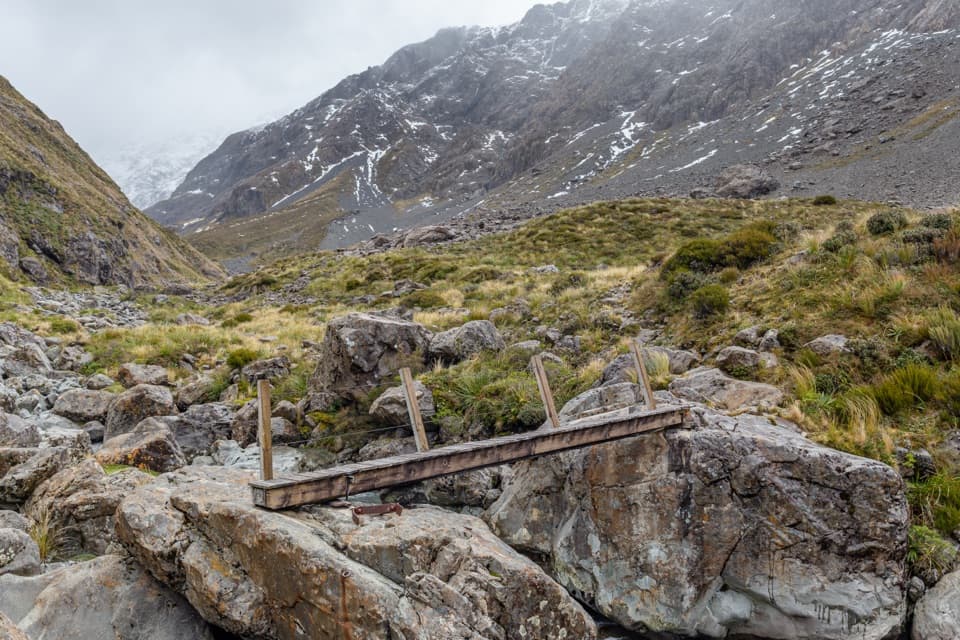
The car park is about 3 km north of Ōtira. The track begins at the gravel lot, but a narrow, fast creek crosses the route about 100 m in. After heavy rain the crossing may be too high; turn back if it is not safe. At the first DOC sign, take the left-hand branch for Carroll Hut. The right-hand path is a separate short loop. Follow the orange markers; the side trails here do not lead to the hut.
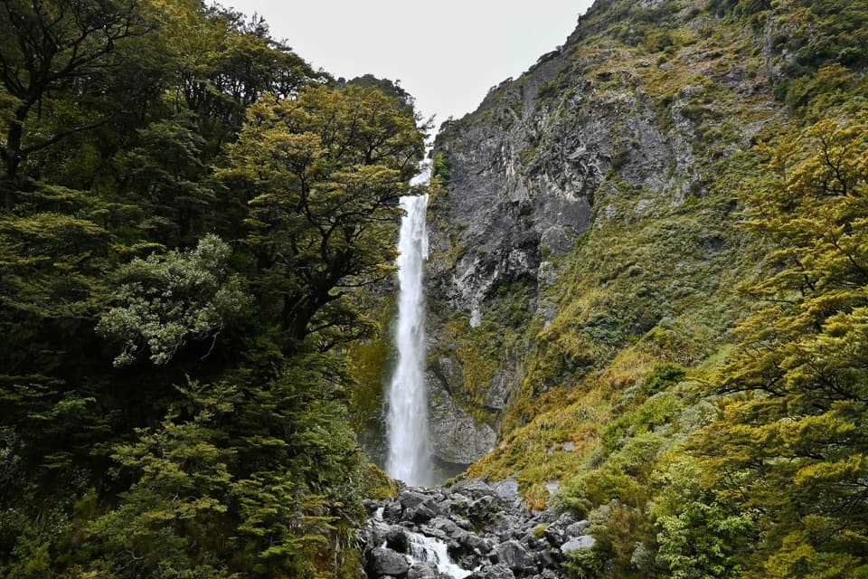
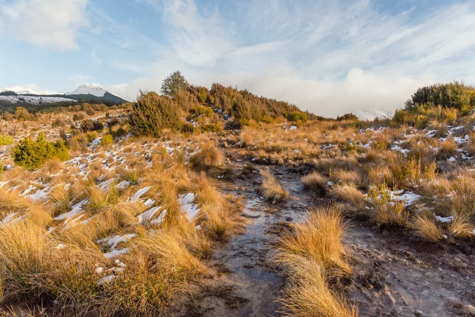
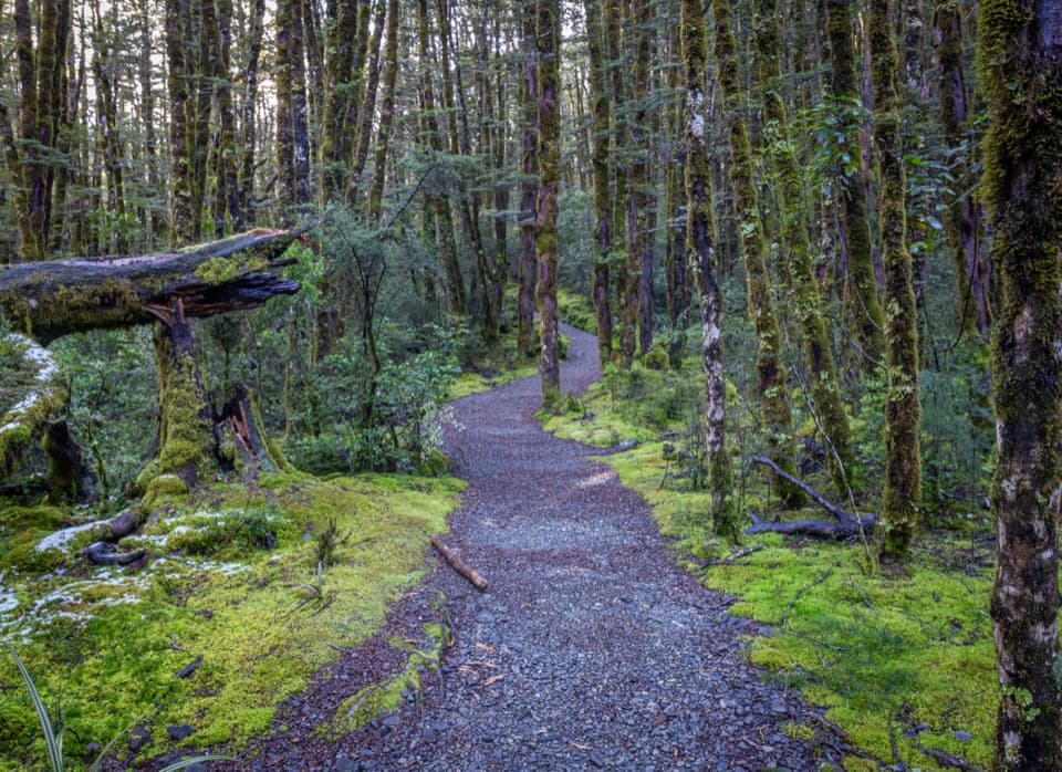
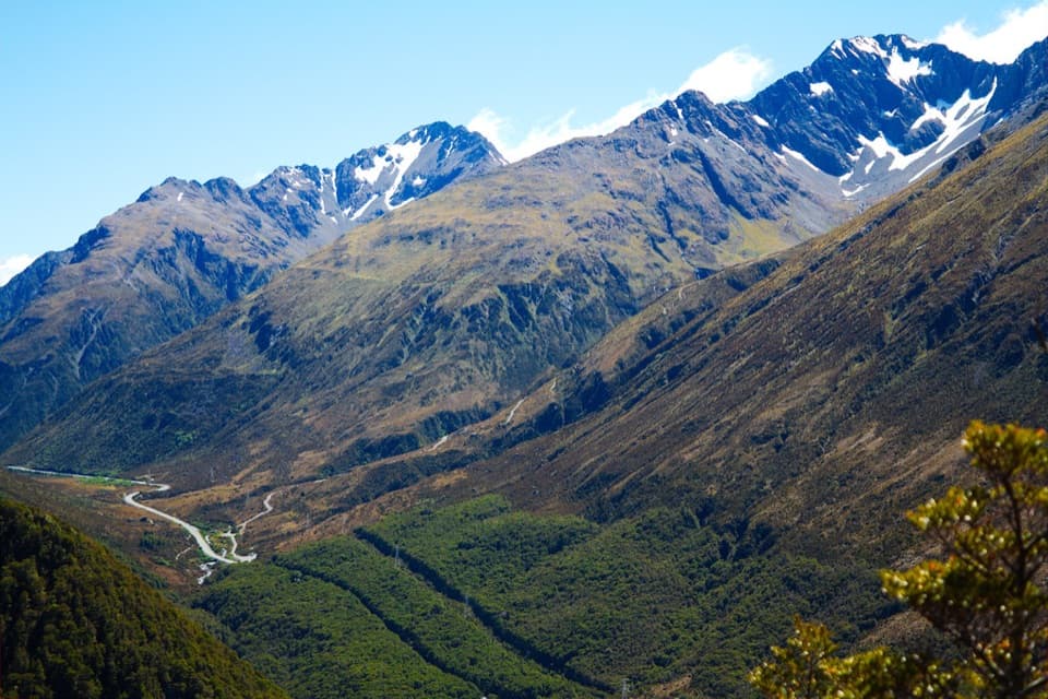
The first part climbs the south side of Kellys Hill through rātā and kāmahi forest. The tread is steep, with roots, wet rocks and loose gravel underfoot; some steps are rough enough to slow you down. Around 900 m the grade eases and the trees open to views over Ōtira Valley and the Ōtira River. The final stretch crosses an exposed slope toward subalpine scrub and tussock. Carroll Hut stays hidden until you're close, then appears in a meadow basin below the saddle.
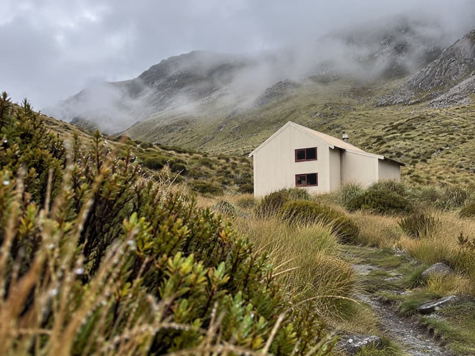
Carroll Hut is a standard ten-bunk hut with mattresses, non-flush toilets and stream water. It has no fireplace, so overnight visitors need their own cooker and utensils. Booking and hut-pass rules can change; check DOC's current requirements before staying. On a clear day, the saddle behind the hut looks down the Taramakau toward the West Coast. For a photo, include the hut and its tussock foreground with the ridge behind it, or turn around at the saddle for the river valley. Weka have been reported near the hut and may investigate unattended packs, so tuck food away.
The hut is named for Patrick Carroll, a West Coast Alpine Club member who died in a mountaineering accident in 1938. An earlier hut burned in 1980; the replacement was built on the same site in 1981 and substantially overhauled in 2004. A rope tow made Carroll Hut a Kelly Range ski base in the 1950s, before Temple Basin took over that role in the 1960s. That history gives the hut a second life beyond today's trampers and overnight walkers.
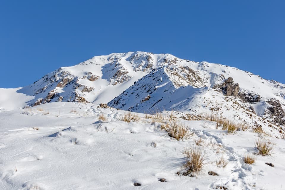
Allow six hours for the return. Some walkers finish sooner, but the official estimate is a good fit for a 760 m climb and a steep, rough descent where roots and rock need attention. Snow and ice can cover the track in winter, and avalanche paths cross it. Above the bushline there is no marked route onto the open tops; continuing beyond the hut takes good visibility, alpine judgment and winter equipment when snow is present. This row covers the hut walk only: the unmarked Kellys Hill side route and longer Kelly Range continuation are separate, more demanding objectives. Dogs are not allowed on this route.
Wildlife
 984 sightingsKeaMost seen around noonSighting map
 39 sightingsNew Zealand FalconMost seen around 5 PMSighting map
 190 sightingsBlue DuckMost seen around 5 PMSighting map
 20 sightingsKākāMost seen around 8 AMSighting map
 15 sightingsWekaMost seen around 7 AMSighting map
 15 sightingsParadise ShelduckMost seen around 6 PMSighting map
Sighting maps show where each species has been reported across Arthur's Pass. Wildlife moves, so no sighting is guaranteed.
Keep exploring
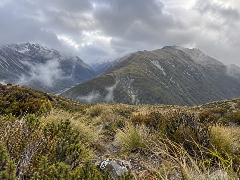 ChallengingKellys Hill via Carroll Hut8 km · 8 hr · At the trailheadA steep forest climb to an exposed summit and Tasman Sea views.
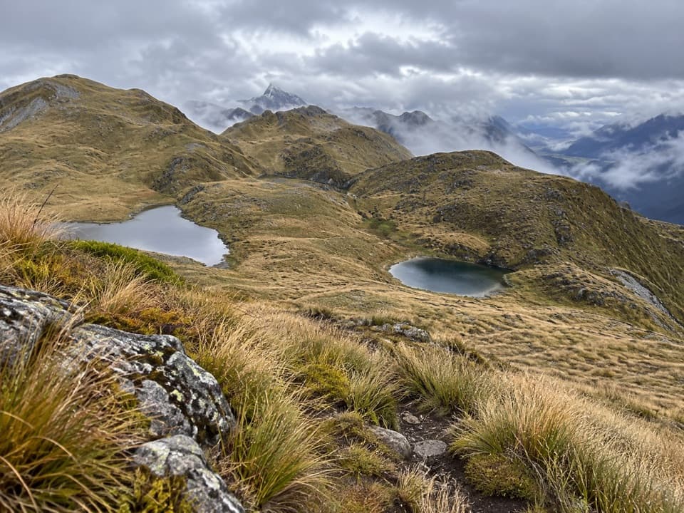 ChallengingKelly Range Tarns via Carroll Hut10 km · 8.5 hr · At the trailheadA steep hut climb opens to Kelly Range tarns and alpine views.
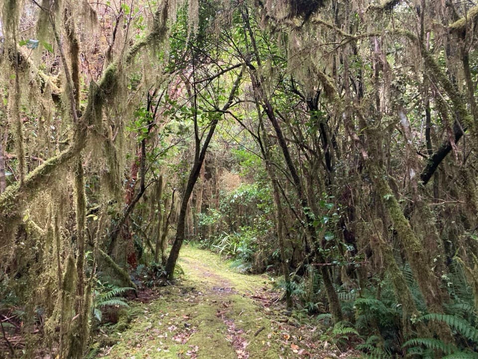 ModerateCockayne Nature Walk1 km · 30 min · At the trailheadA short, steep climb through lush rainforest to a hilltop bench.
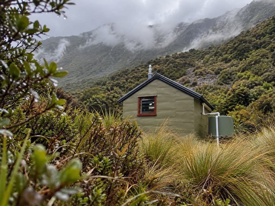 ChallengingHunt Saddle Track to Hunts Creek Hut Track16.8 km · 9 hr · At the trailheadA rough riverbed tramp to a hut in a high tussock basin.
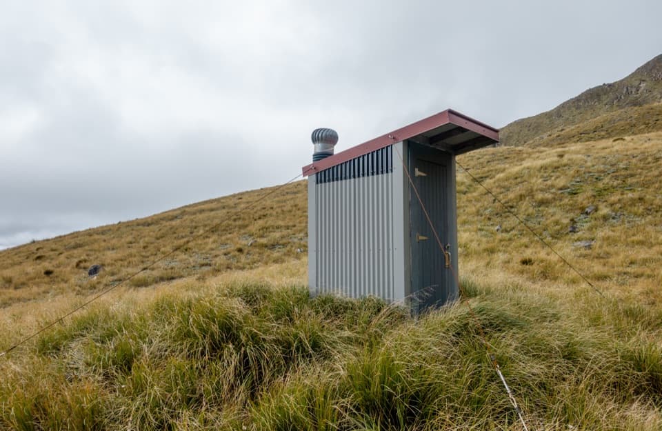 ChallengingPfeifer Bivvy via Waharoa Saddle15.3 km · 10 hr · 3 km awayA remote bivvy above a rough creek climb and alpine saddle.
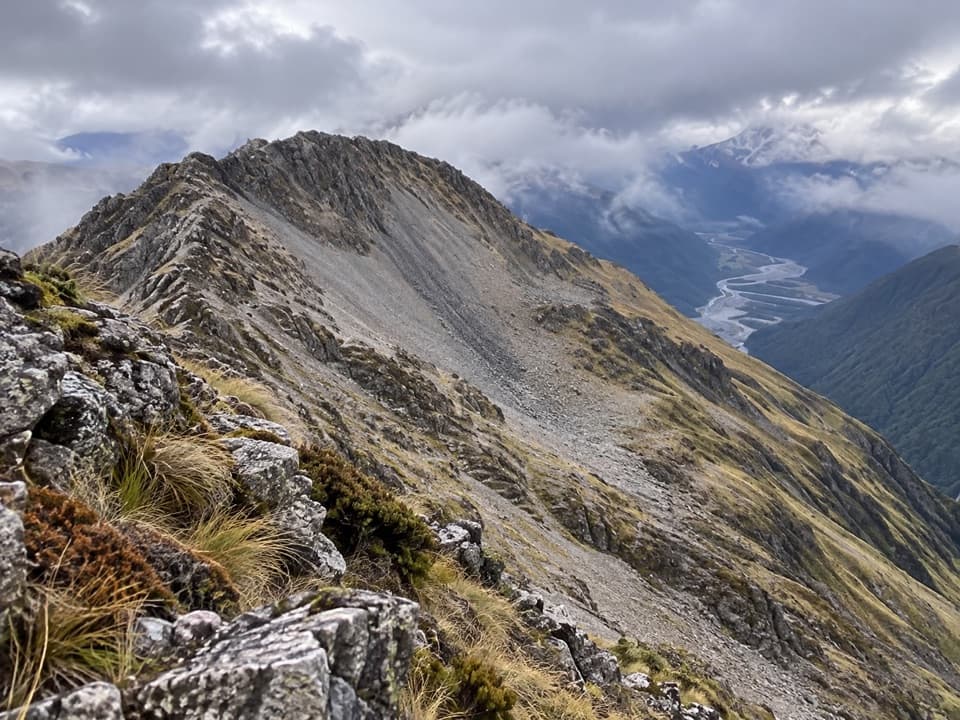 ChallengingMt Barron Route7.7 km · 8 hr · 5.1 km awayA full-day climb from Ōtira forest to a rocky alpine summit.
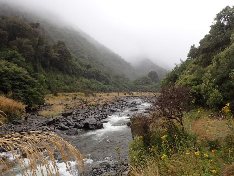 ChallengingHarper Pass Route79 km · 1.2 days · 6.3 km awayA historic alpine crossing with rivers, a high pass and remote huts.
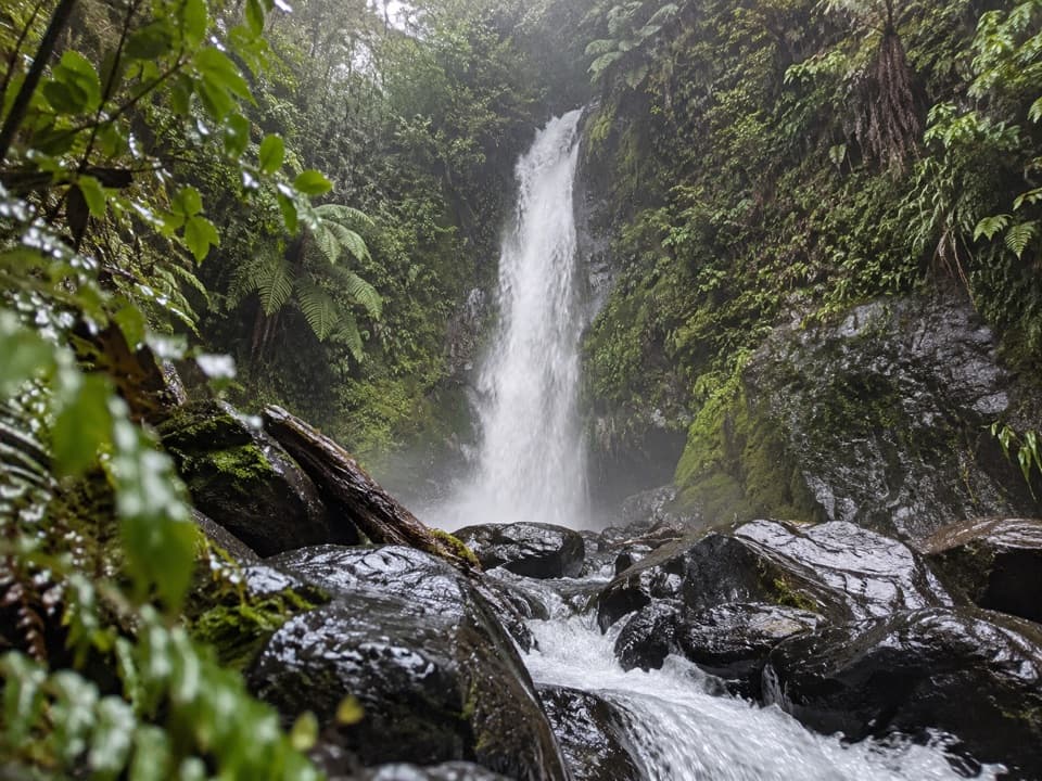 ModerateNgarimu Waterfall Track1.1 km · 40 min · 7.7 km awayA short native-bush walk to Ngarimu Waterfall
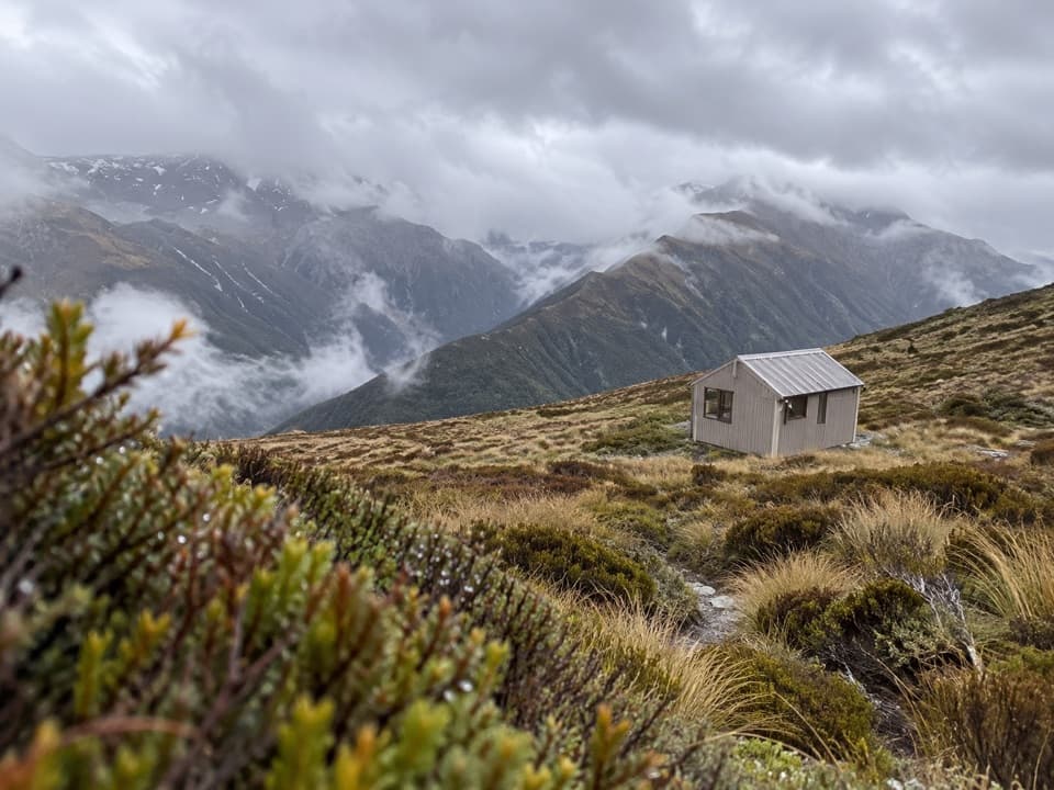 Lodging · 2 km awayCarroll HutA historic ski hut above tussock, with open West Coast views.
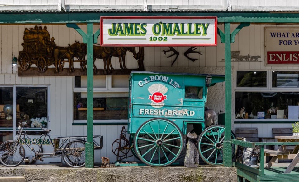 Sight · 3.4 km awayŌtira Stagecoach HotelAntiques and old wagons fill this museum-like coach-stop hotel.
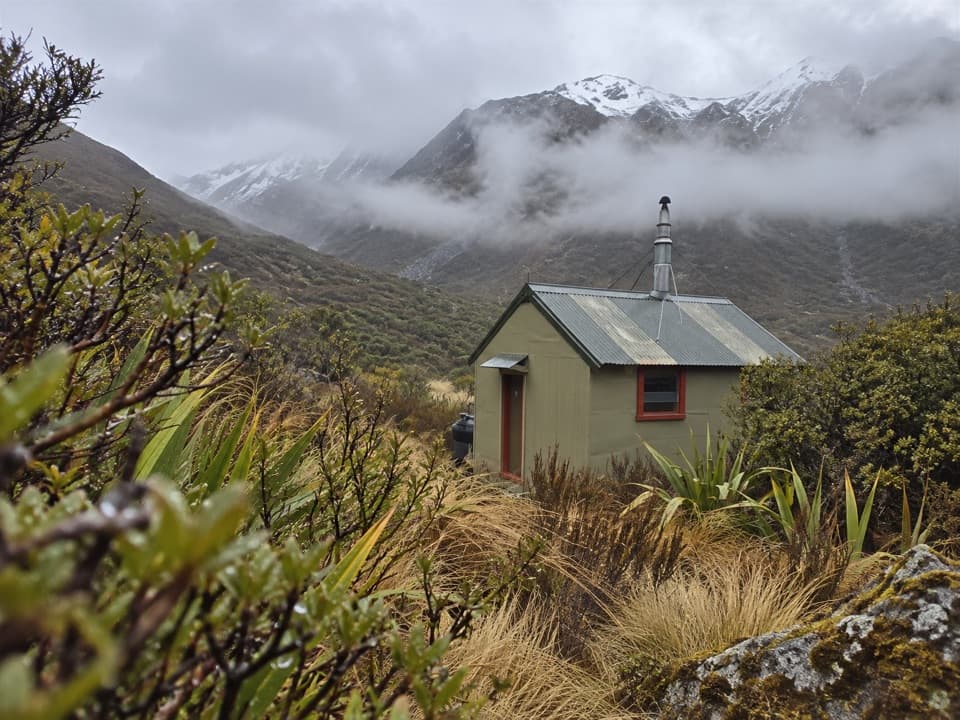 Lodging · 7.1 km awayHunts Creek HutA remote four-bunk hut at the end of a demanding alpine approach.
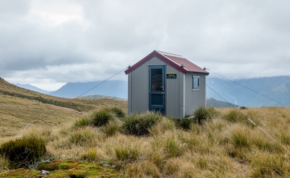 Lodging · 7.7 km awayPfeifer BivvyA remote two-bunk refuge above Lake Kaurapataka.
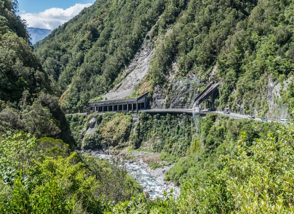 Sight · 8.9 km awayŌtira Gorge Rock Shelter LookoutA quick pull-in for the rockfall shelter and Reid Falls aqueduct.
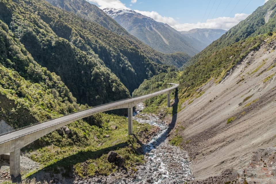 Sight · 9.7 km awayŌtira Viaduct LookoutA quick stop for the viaduct, gorge and occasional kea.
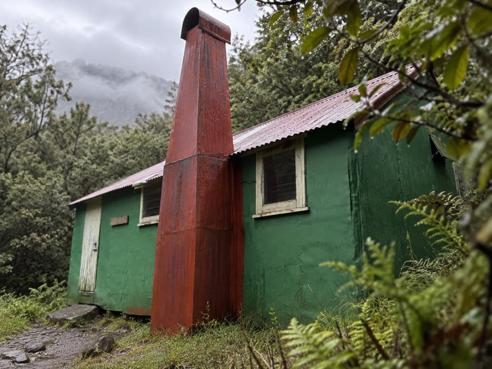 Lodging · 9.8 km awayUpper Deception HutAn old deer-culling hut on a demanding river traverse.
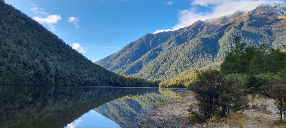 Sight · 10.3 km awayLake KaurapatakaA remote lake worth saving for an overnight walk
Parkwolf’s Arthur's Pass ranking
The audio tour guide for the drive, plus offline maps, trails, and wildlife heatmaps for when the signal drops.