
Place · 0.2 mi away
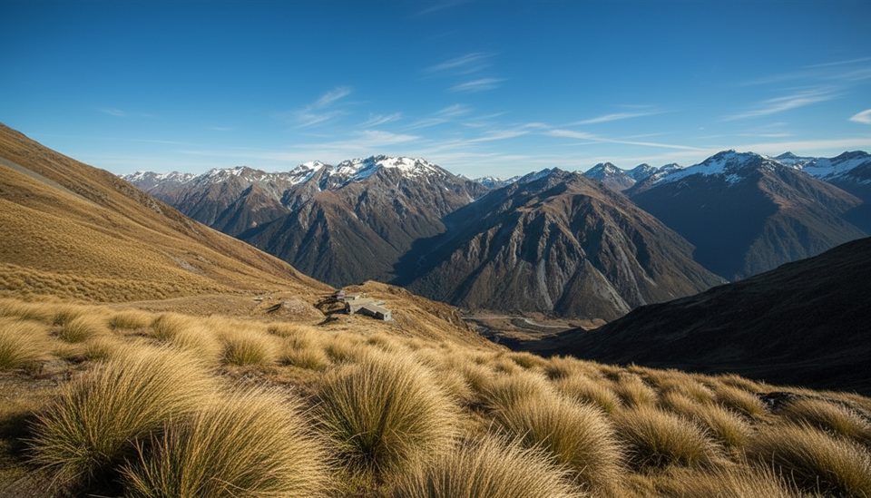
Kelly Saddle is an exposed alpine pass on the Kelly Range linking the Kellys Creek and Hunts Creek sides. It’s a classic, demanding outing for experienced trampers: a steep grunt to the tops, big views once you break the bushline, and serious mountain weather to respect.
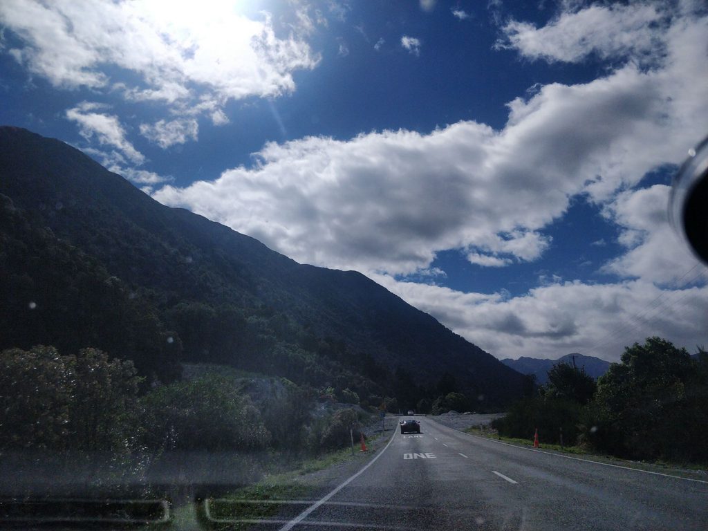
Typical approaches start from the Kellys Creek trailhead on SH73, climbing toward the tops via either the Carroll Tops/Carroll Hut line or the Hunt Saddle Track that continues to Hunts Creek Hut. Expect steep bush and scree, eroded sidles, short bluffy sections, and riverbed travel that’s fastest when flows are low. Above the bushline there is no marked track—navigation is on you. Around Hunt Saddle the terrain can be muddy with head‑high tussock and hidden holes. Some parties linking bigger circuits (e.g., via Bijleveld Col) have found that staying higher on open slopes can avoid eroded gullies, but you must judge conditions on the day.
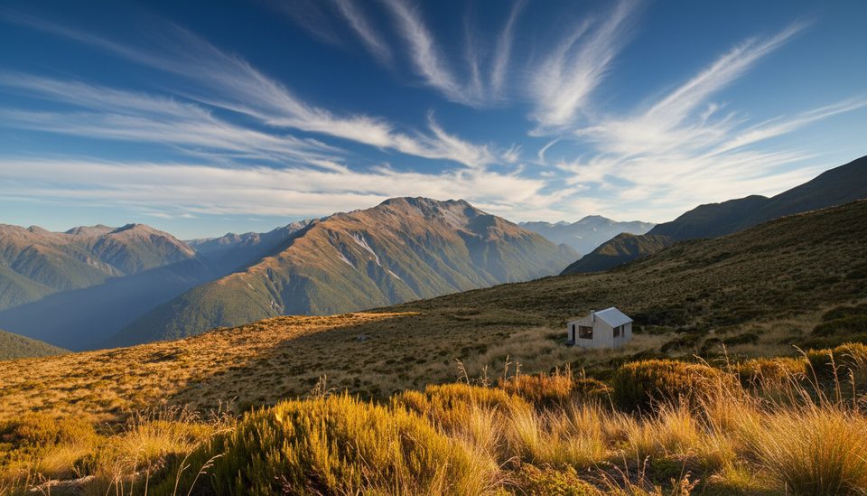
From the tops the panorama stretches across the Kellys Creek valley, Otira side, and the Main Divide. You’re walking on country shaped by glaciation and relentless erosion—U‑shaped valleys, crumbling ridgelines and active scree and riverbeds give the route its wild character.
In the forested approaches, listen and look for bellbird, fantail, robin, brown creeper, tomtit and grey warbler. Above the bushline kea are resident, and in summer the alpine herbfields and snow‑tussock can put on a show of flowers. Kiwi occur in the park and are sometimes heard at night.
Weather is volatile: frequent nor’west systems can dump heavy rain and push rivers up quickly (they also drop fast afterward). Winter often brings sub‑zero temps with snow and ice on tracks from July through October, and alpine avalanche risk exists. Carry warm layers and waterproofs, sturdy boots, map/compass and GPS, spare food, torch, emergency shelter and a distress beacon. If you’re pushing into higher cols (like Waimakariri/Bijleveld in a longer circuit), bring and know how to use axe/crampons/helmets.
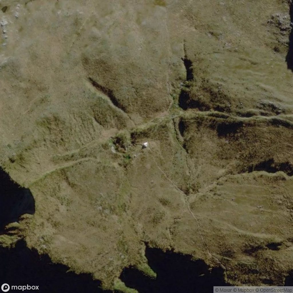
Carroll Hut sits on the Kelly Range as a handy tops shelter (no stove), and Hunts Creek Hut lies on the west side. Scenic camping is possible near alpine tarns on longer link-ups if conditions allow.
Flooding regularly reworks the Kellys Creek tracks and riverbeds—be ready to choose riverbed vs benched line based on what you see. There are no facilities listed for the Kellys Creek carpark; plan accordingly. Sandflies can be active at the carpark.
Pick settled, clear windows—late summer to autumn is the sweet spot for the standard Hunt Saddle–Kellys Creek loop. In winter and early spring (July–October), expect snow/ice and plan for alpine conditions. Whatever the season, check current DOC alerts before you go and avoid going above the bushline in poor visibility.
Place · 0.2 mi away
Place · 0.2 mi away
Place · 2.9 mi away
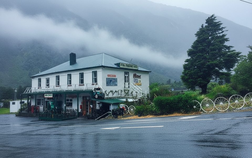
Place · 3 mi away
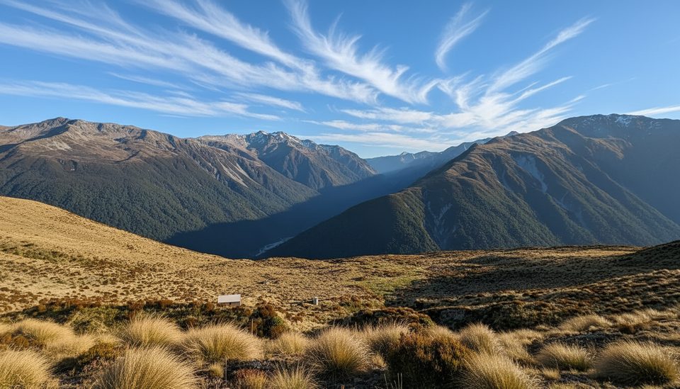
Challenging · 1.4 mi away
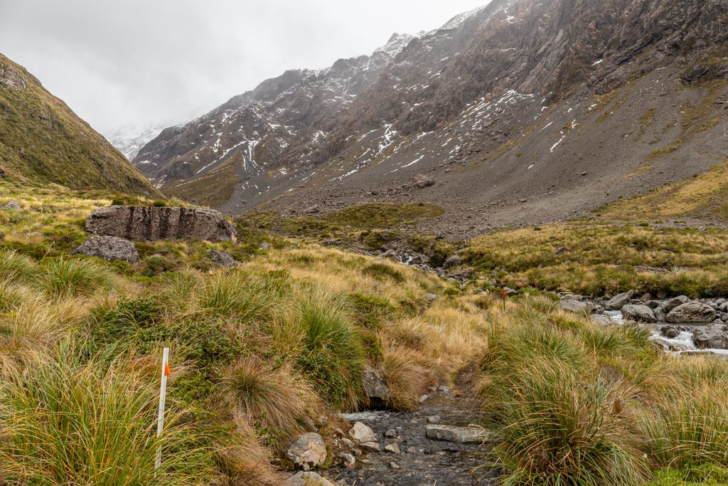
Moderate · 7.7 mi away
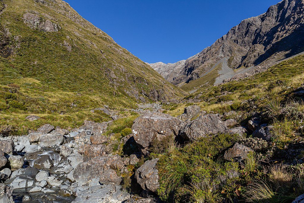
Challenging · 7.7 mi away
Moderate · 8.6 mi away

Parkwolf Tour Guide
