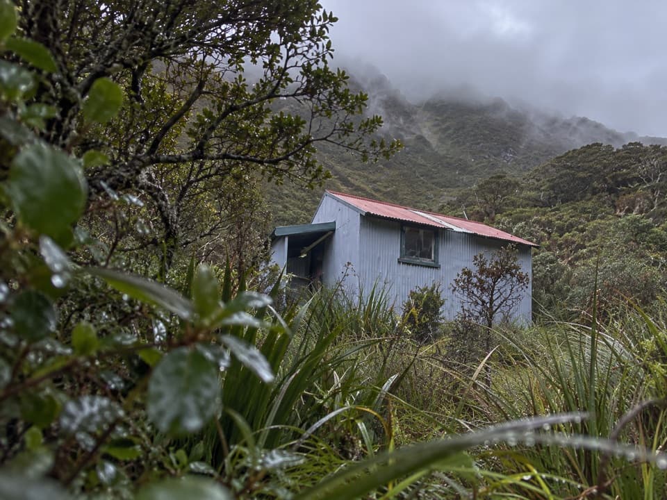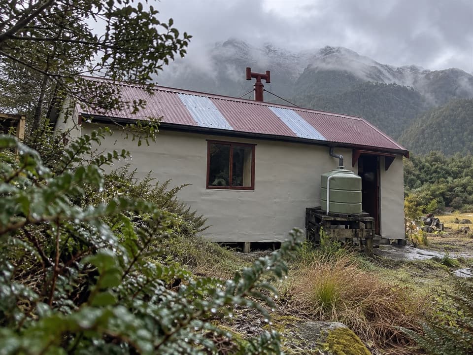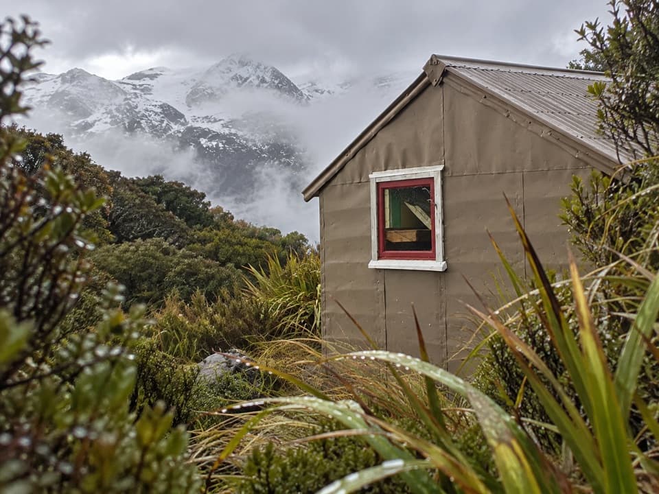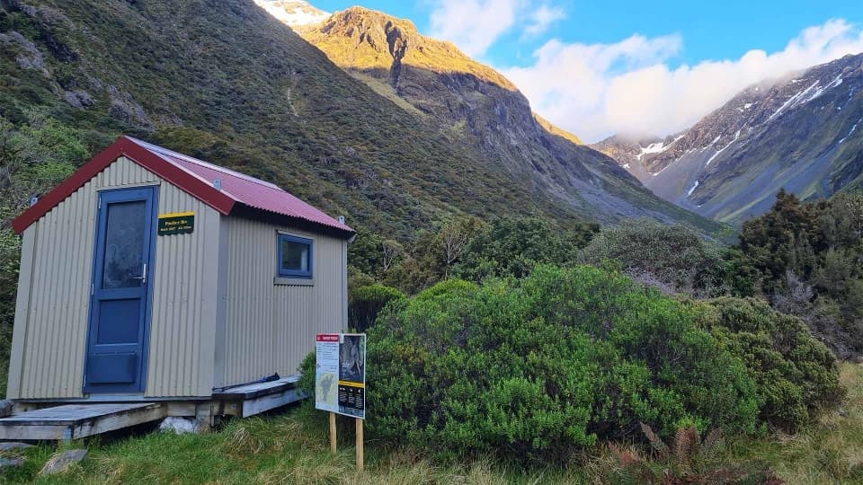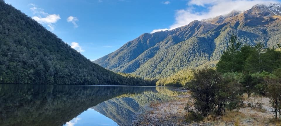
Lake Kaurapataka in Arthur's Pass National Park

Sight · Arthur's Pass National Park

Lake Kaurapataka

A remote lake worth saving for an overnight walk

Photo: Wikimedia Commons

Overview

About Lake Kaurapataka

Why stop

  • Campsites beside the lake shore

Heads up

  • Expert access with multiple river crossings

Map

Where it is

Loading the Arthur's Pass map
Full map
SightLake Kaurapataka-42.78614, 171.69575
Keep this map with you offline in the Parkwolf app

Plan your stop

Before you go

2 active Arthur's Pass alerts

  • CautionFlood damage and rockfall risk on Harper Pass RouteFlood damage and an active slip affect the Harper Pass Route below Kiwi Hut and near Locke Stream Hut.Official details
  • CautionFlood damage on route to Sudden Valley BivvySignificant flood damage makes the route to Sudden Valley Bivvy passable only when rivers are low.Official details

Arthur's Pass alerts
A park ranger sits on a dash-mounted phone, talking, as Parkwolf’s Tour Guide plays “Army Cutworm Moths: A Grizzly Bear Buffet” on Grand Loop Road below Dunraven Pass in Yellowstone
Parkwolf Tour GuideThe highest, rockiest slopes around here are a summer buffet for grizzly bears.

Arthur's Pass Tour Guide

Your drive to Lake Kaurapataka, narrated.

Parkwolf is a GPS audio tour guide for Arthur's Pass National Park. As you drive, it chimes in with what’s ahead: hidden gems, upcoming stops, history, geology, and wildlife, right through your car’s speakers.

More stories near here in the app

  • A Roroa Duet After Dark
  • Mountains Still on the Rise
  • Morrison Footbridge to Pfeifer Bivvy
  • Why the Mountains Catch the Rain
  • 42 audio storiesacross Arthur's Pass’s roads, triggered by GPS as you drive
  • Wildlife heatmapsfor Kea, New Zealand Falcon, Blue Duck, and 13 more
  • Works offlinemaps, 49 trails, 59 places, and audio download before you lose signal
  • CarPlay readysimple controls built for the drive
★★★★★
“Fantastic app with many points of information… It’s great to just turn on while you’re driving and it gives you an audio tour of the national Park. We love it!!!!”
JMJamesApp Store review
Download Parkwolf on the App StoreGet Parkwolf on Google Play

4.7 from 8,600+ ratings

Guide

More about Lake Kaurapataka

A serious backcountry destinationLake Kaurapataka, also written Kāurupātaka, is a 34.

Lake Kaurapataka, also written Kāurupātaka, is a 34.9-hectare lake in native forest near the northern edge of Arthur’s Pass National Park. Reaching it means an expert backcountry trip from Aickens, not a quick roadside stop. Plan for six to seven hours over one or two days; the lake suits trampers prepared for river crossings and route-finding.

The approach from AickensThe route starts at Aickens car park beside SH73, about five kilometres west of Ōtira.

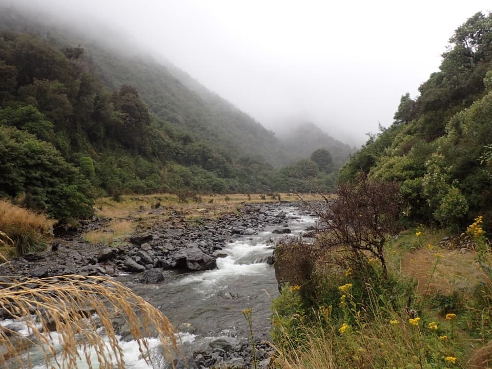
The route starts at Aickens car park beside SH73, about five kilometres west of Ōtira. You must ford the Ōtira River; if it is not easy to cross, postpone. From there, follow the orange markers to Clear Creek, continue along a 4WD access track to the signed Pfeifer Creek turnoff, then follow the creek bed for about 100 metres. The route passes through red-beech forest, crosses the stream draining the lake and climbs to the shore.

Give the lake timeA one-day return is possible, but two days lets you camp beside the water instead of rushing…

A one-day return is possible, but two days lets you camp beside the water instead of rushing back. Several lakeside camping spots are marked by cairns. Carry your own food and warm clothing for this remote trip. From the shore, frame the forested slopes across the water; calm reflections are the lake’s signature view.

Forest, water and wildlifeThe lake sits behind a hill south of the Taramakau River, surrounded mainly by indigenous…

The lake sits behind a hill south of the Taramakau River, surrounded mainly by indigenous forest. It covers 34.9 hectares and reaches 24.2 metres at its deepest point. Large native longfin eels have been reported here; they are protected, though a sighting is never assured.

A catchment recorded in its sedimentsSediment cores indicate that the lake’s catchment has remained broadly stable for at least…

Sediment cores indicate that the lake’s catchment has remained broadly stable for at least 1,200 years. Pollen and charcoal records preserve traces of forest and fire history, including evidence associated with Māori settlement and later European settlement in the wider region.

Why the lake is inside the parkThe lake lay outside Arthur’s Pass National Park’s original boundary.

The lake lay outside Arthur’s Pass National Park’s original boundary. In 1931, the Board of Control recommended adjusting the boundary to include it, describing the scenery as exceptionally fine. The park’s northern edge was changed to take in this basin.

Wildlife

Wildlife in Arthur's Pass

All Arthur's Pass wildlife maps

Sighting maps show where each species has been reported across Arthur's Pass. Wildlife moves, so no sighting is guaranteed.

Parkwolf’s Arthur's Pass ranking

Top sights in Arthur's Pass

All 59 places
  1. 1Devils Punchbowl FallsSight
  2. 2Ōtira Viaduct LookoutSight
  3. 3Avalanche PeakSight
  4. 4Jacks HutSight
  5. 5Arthur’s Pass ChapelSight
  6. 6Ōtira Gorge Rock Shelter LookoutSight

Take Parkwolf to Arthur's Pass.

The audio tour guide for the drive, plus offline maps, trails, and wildlife heatmaps for when the signal drops.

4.7 from 8,600+ ratings

Download Parkwolf on the App StoreGet Parkwolf on Google Play