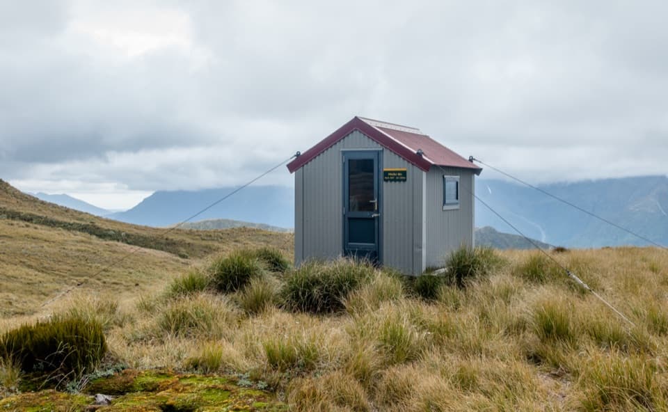
Pfeifer Bivvy in Arthur's Pass National Park

Lodging · Arthur's Pass National Park

Pfeifer Bivvy

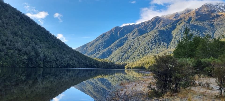
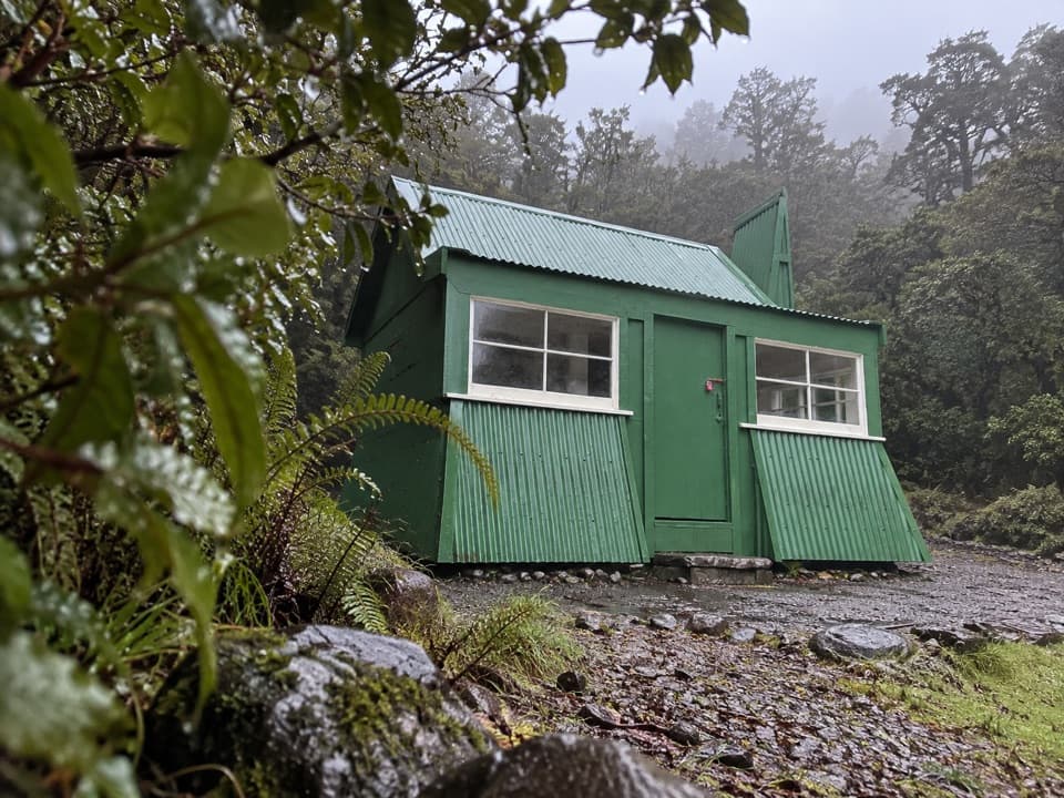
A remote two-bunk refuge above Lake Kaurapataka.

Photo: Wikimedia Commons
Type
Lodging
Nearest trail
5.2 km
  • Restrooms

Hear the audio tour

Morrison Footbridge to Pfeifer Bivvy

Overview

About Pfeifer Bivvy

Why stop

  • A remote high-country night with a nearby summit scramble and open basin views.

Heads up

  • The long approach crosses exposed tops where cloud makes route-finding difficult.

Map

Where it is

Loading the Arthur's Pass map
Full map
LodgingPfeifer Bivvy-42.80318, 171.66533
Keep this map with you offline in the Parkwolf app

Plan your stop

Before you go

2 active Arthur's Pass alerts

  • CautionFlood damage and rockfall risk on Harper Pass RouteFlood damage and an active slip affect the Harper Pass Route below Kiwi Hut and near Locke Stream Hut.Official details
  • CautionFlood damage on route to Sudden Valley BivvySignificant flood damage makes the route to Sudden Valley Bivvy passable only when rivers are low.Official details

Arthur's Pass alerts
A park ranger sits on a dash-mounted phone, talking, as Parkwolf’s Tour Guide plays “Army Cutworm Moths: A Grizzly Bear Buffet” on Grand Loop Road below Dunraven Pass in Yellowstone
Parkwolf Tour GuideThe highest, rockiest slopes around here are a summer buffet for grizzly bears.

Arthur's Pass Tour Guide

Your drive to Pfeifer Bivvy, narrated.

Parkwolf is a GPS audio tour guide for Arthur's Pass National Park. As you drive, it chimes in with what’s ahead: hidden gems, upcoming stops, history, geology, and wildlife, right through your car’s speakers.

Recorded for this place

Morrison Footbridge to Pfeifer Bivvy
0:00 / 0:27
“You're coming up on Morrison Footbridge, the start of a remote mountain route to Pfeifer Bivvy. The two-bunk hut sits in a tussock basin with views across the Taramakau Valley in clear weather.”

Plays as you drive up to Pfeifer Bivvy in the Parkwolf Arthur's Pass Tour Guide.

More stories near here in the app

  • Mountains Still on the Rise
  • A Roroa Duet After Dark
  • The Bird That Winters Above the Trees
  • Why the Mountains Catch the Rain
  • 42 audio storiesacross Arthur's Pass’s roads, triggered by GPS as you drive
  • Wildlife heatmapsfor Kea, New Zealand Falcon, Blue Duck, and 13 more
  • Works offlinemaps, 49 trails, 59 places, and audio download before you lose signal
  • CarPlay readysimple controls built for the drive
★★★★★
“Fantastic app with many points of information… It’s great to just turn on while you’re driving and it gives you an audio tour of the national Park. We love it!!!!”
JMJamesApp Store review
Download Parkwolf on the App StoreGet Parkwolf on Google Play

4.7 from 8,600+ ratings

Guide

More about Pfeifer Bivvy

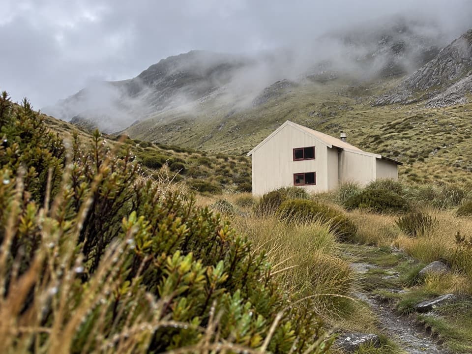
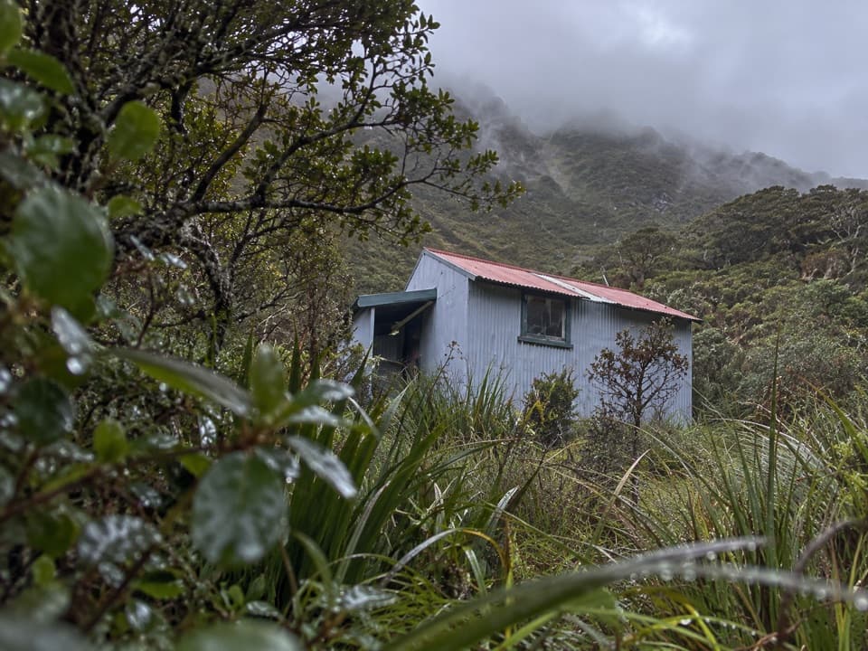
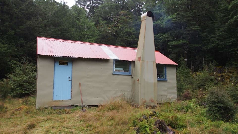
A serious overnight tripPfeifer Bivvy is a tiny, two-bunk shelter at about 1,295 m in a tussock basin on the Aicken…

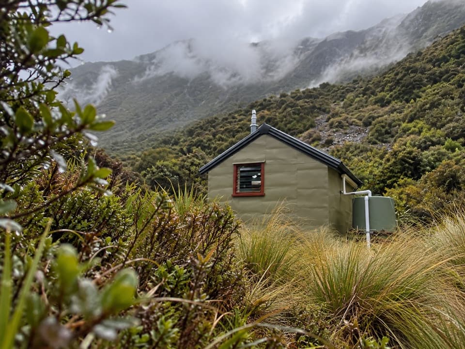
Pfeifer Bivvy is a tiny, two-bunk shelter at about 1,295 m in a tussock basin on the Aicken Range, above Lake Kaurapataka. It suits trampers looking for a remote night in the high country, not a quick stop from the road. Allow four to six hours from the Deception car park on SH73 to reach it. The bunks are free and first-come, first-served, with no booking.

Getting into the basinThe usual approach crosses the Otira footbridge, follows the Deception River for about a…

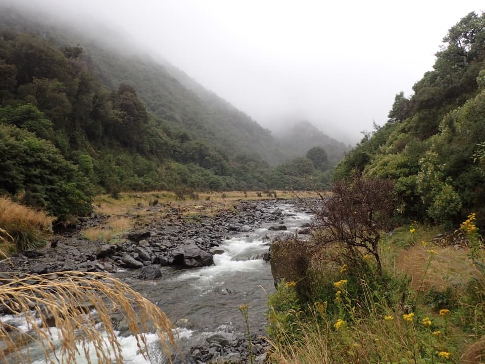
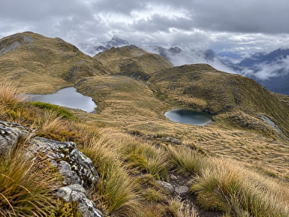
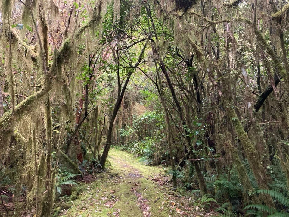
The usual approach crosses the Otira footbridge, follows the Deception River for about a kilometre, then turns toward Paratu Stream and climbs Waharoa Saddle to the alpine tops and bivvy basin. The upper section is exposed route-finding terrain. In cloud, the point to descend can be hard to spot; take a GPS, or go only when visibility is good. DOC no longer maintains the access route, which gets occasional volunteer work. Bring your own food for the overnight.

A small hut with a historyThe current bivvy was built in 2008 to replace a New Zealand Forest Service shelter from 1962.

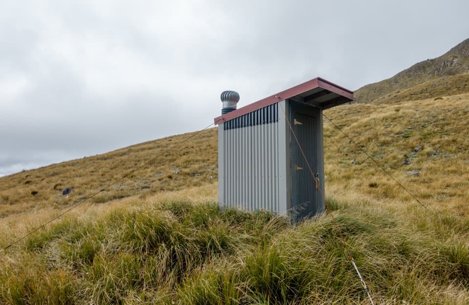
The current bivvy was built in 2008 to replace a New Zealand Forest Service shelter from 1962. Inside are two sleeping platforms with mattresses and a cooking bench; a separate toilet is nearby. Water comes from nearby tarns or a creek, so bring a way to treat it before drinking.

Explore the basinSmall tarns sit among the nearby tops, and a creek spills over the basin edge into Pfeifer…

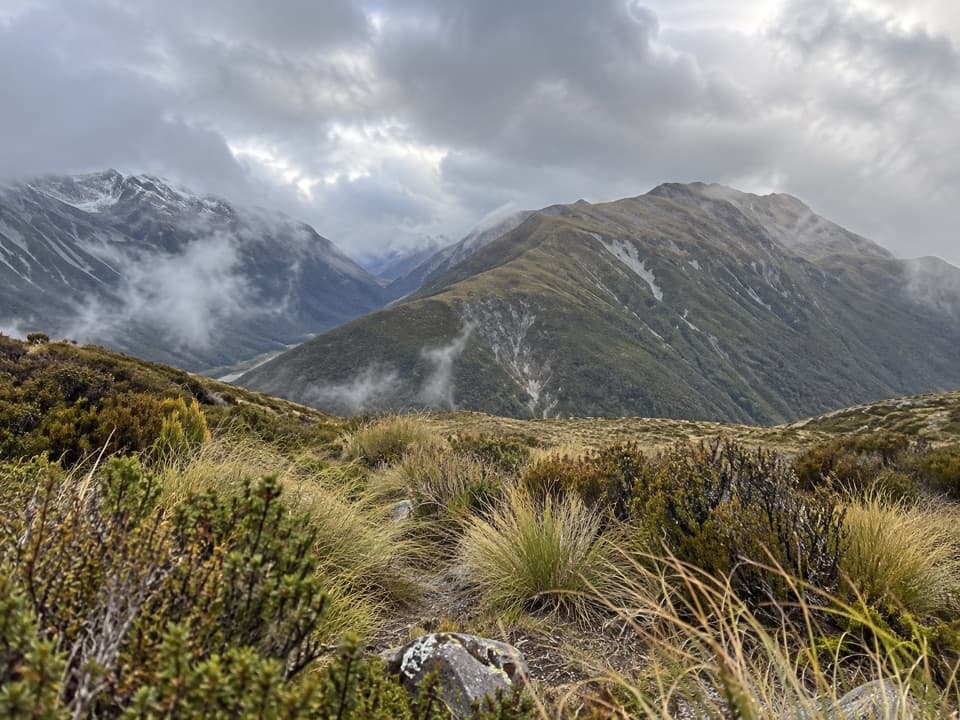
Small tarns sit among the nearby tops, and a creek spills over the basin edge into Pfeifer Creek. On a clear day, the view reaches across the Taramakau Valley toward Mt Alexander and the Kaimata Range. Mt Pfeifer is about a 45-minute scramble from the hut when snow-free, so treat it as a fair-weather add-on. Kiwi may be heard in the basin after dark.

Wildlife

Wildlife in Arthur's Pass

All Arthur's Pass wildlife maps

Sighting maps show where each species has been reported across Arthur's Pass. Wildlife moves, so no sighting is guaranteed.

Parkwolf’s Arthur's Pass ranking

Top sights in Arthur's Pass

All 59 places
  1. 1Devils Punchbowl FallsSight
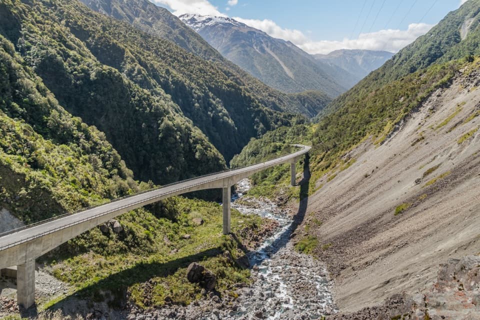
  2. 2Ōtira Viaduct LookoutSight
  3. 3Avalanche PeakSight
  4. 4Jacks HutSight
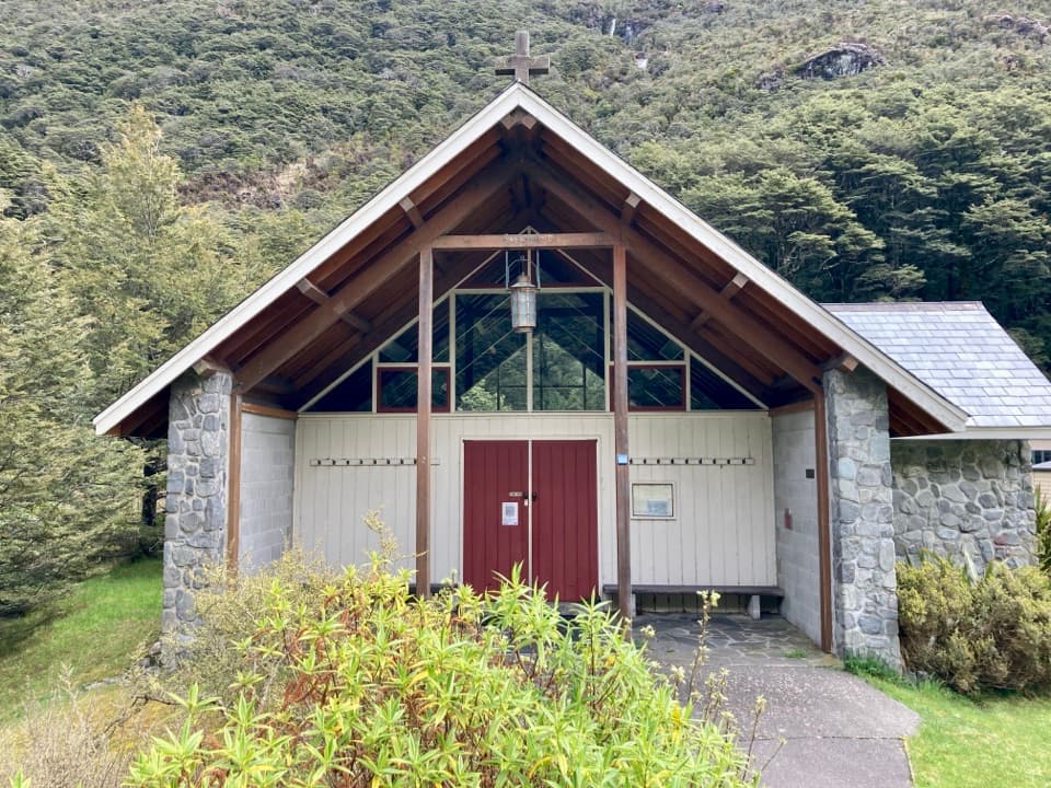
  5. 5Arthur’s Pass ChapelSight
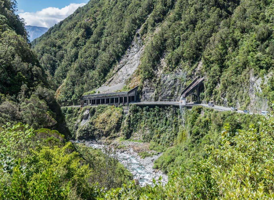
  6. 6Ōtira Gorge Rock Shelter LookoutSight

Take Parkwolf to Arthur's Pass.

The audio tour guide for the drive, plus offline maps, trails, and wildlife heatmaps for when the signal drops.

4.7 from 8,600+ ratings

Download Parkwolf on the App StoreGet Parkwolf on Google Play