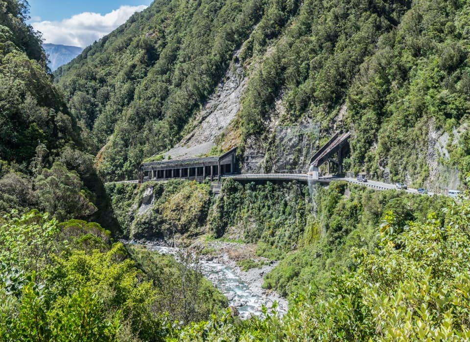
Otehake Hot Springs in Arthur's Pass National Park

Sight · Arthur's Pass National Park

Otehake Hot Springs

A remote soak for experienced river crossers

Overview

About Otehake Hot Springs

Why stop

  • A wild, sulphurous soak in a remote river valley.

Heads up

  • The difficult approach requires expert river-crossing and route-finding skills.

Map

Where it is

Loading the Arthur's Pass map
Full map
SightOtehake Hot Springs-42.80187, 171.70693
Keep this map with you offline in the Parkwolf app

Plan your stop

Before you go

2 active Arthur's Pass alerts

  • CautionFlood damage and rockfall risk on Harper Pass RouteFlood damage and an active slip affect the Harper Pass Route below Kiwi Hut and near Locke Stream Hut.Official details
  • CautionFlood damage on route to Sudden Valley BivvySignificant flood damage makes the route to Sudden Valley Bivvy passable only when rivers are low.Official details
Arthur's Pass alerts
A park ranger sits on a dash-mounted phone, talking, as Parkwolf’s Tour Guide plays “Army Cutworm Moths: A Grizzly Bear Buffet” on Grand Loop Road below Dunraven Pass in Yellowstone
Parkwolf Tour GuideThe highest, rockiest slopes around here are a summer buffet for grizzly bears.

Arthur's Pass Tour Guide

Your drive to Otehake Hot Springs, narrated.

Parkwolf is a GPS audio tour guide for Arthur's Pass National Park. As you drive, it chimes in with what’s ahead: hidden gems, upcoming stops, history, geology, and wildlife, right through your car’s speakers.

More stories near here in the app

  • Mountains Still on the Rise
  • A Roroa Duet After Dark
  • Morrison Footbridge to Pfeifer Bivvy
  • Why the Mountains Catch the Rain
  • 42 audio storiesacross Arthur's Pass’s roads, triggered by GPS as you drive
  • Wildlife heatmapsfor Kea, New Zealand Falcon, Blue Duck, and 13 more
  • Works offlinemaps, 49 trails, 59 places, and audio download before you lose signal
  • CarPlay readysimple controls built for the drive
★★★★★
“Fantastic app with many points of information… It’s great to just turn on while you’re driving and it gives you an audio tour of the national Park. We love it!!!!”
JMJamesApp Store review
Download Parkwolf on the App StoreGet Parkwolf on Google Play

4.7 from 8,600+ ratings

Guide

More about Otehake Hot Springs

A wild soak, with a serious approachOtehake Hot Springs are natural pools in a flood channel beside the Otehake River, deep in…

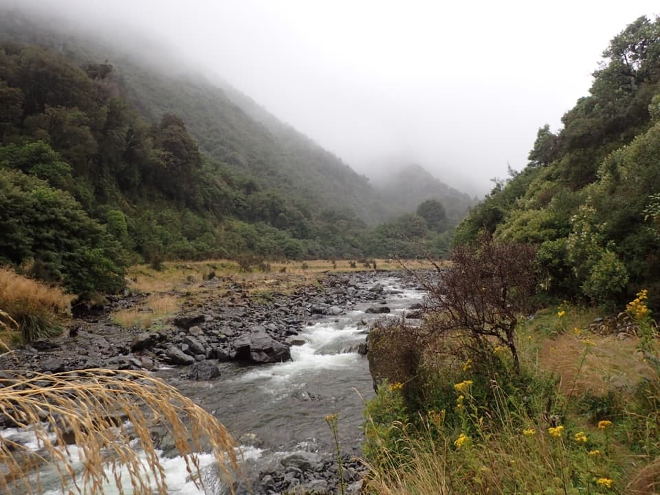
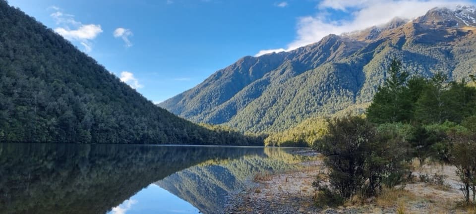
Otehake Hot Springs are natural pools in a flood channel beside the Otehake River, deep in Arthur's Pass National Park. They're a rare soak in an undeveloped valley, but reaching them takes a serious backcountry trip. The best-established approach follows the Lake Kaurapataka route, rated for people with backcountry experience, river-crossing skills and route-finding ability. From the lake campsites, a local route guide estimates one to two hours each way for the spring side trip. This isn't a quick roadside dip.

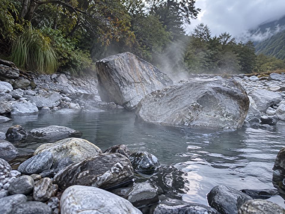
A changing pool in a riverbedThe pools form on the true right of the Otehake near an island, in a dry flood channel.

The pools form on the true right of the Otehake near an island, in a dry flood channel. Large boulders frame the soak, and visitors report a sulphur smell. Floods can reshape or wash out the pools; their depth and temperature vary, and visitors have described digging them out again. Treat this as a natural, changeable spring rather than a built spa with fixed pools.

Plan around river conditionsThe Lake Kaurapataka route starts at Aickens car park beside SH73, about 5 km west of Ōtira,…

The Lake Kaurapataka route starts at Aickens car park beside SH73, about 5 km west of Ōtira, and begins with a ford of the Ōtira River. Reaching the springs also means boulder-hopping beside the Otehake and crossing where needed. Go only in settled weather and low rivers, with the skills to judge and cross them. Check current track conditions before planning. Dogs aren't allowed. Visitors describe rough campsites near the springs, but no reliable facilities, food or potable water service is confirmed there; carry what you need.

Wildlife

Wildlife in Arthur's Pass

All Arthur's Pass wildlife maps

Sighting maps show where each species has been reported across Arthur's Pass. Wildlife moves, so no sighting is guaranteed.

Parkwolf’s Arthur's Pass ranking

Top sights in Arthur's Pass

All 59 places
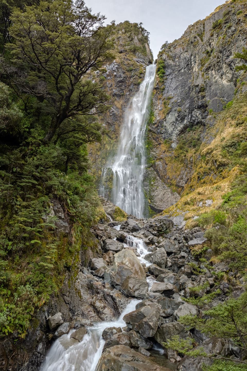
  1. 1Devils Punchbowl FallsSight
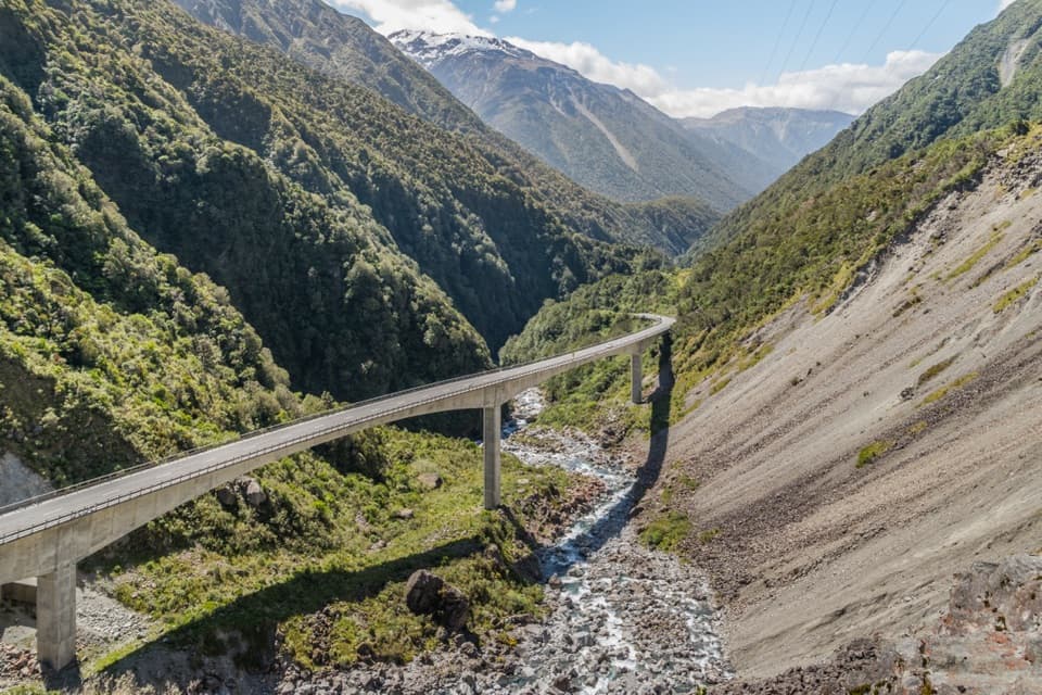
  2. 2Ōtira Viaduct LookoutSight
  3. 3Avalanche PeakSight
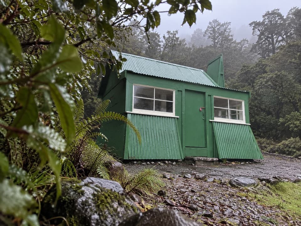
  4. 4Jacks HutSight
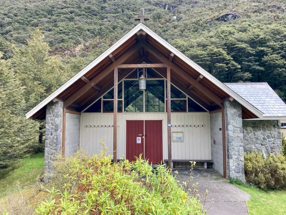
  5. 5Arthur’s Pass ChapelSight
  6. 6Ōtira Gorge Rock Shelter LookoutSight

Take Parkwolf to Arthur's Pass.

The audio tour guide for the drive, plus offline maps, trails, and wildlife heatmaps for when the signal drops.

4.7 from 8,600+ ratings

Download Parkwolf on the App StoreGet Parkwolf on Google Play