Parking
Start at Aickens car park beside SH73, about 5 km west of Otira. Finish at Windy Point shelter and car park beside SH7. This is a point-to-point route, so arrange a shuttle or pickup between the ends.
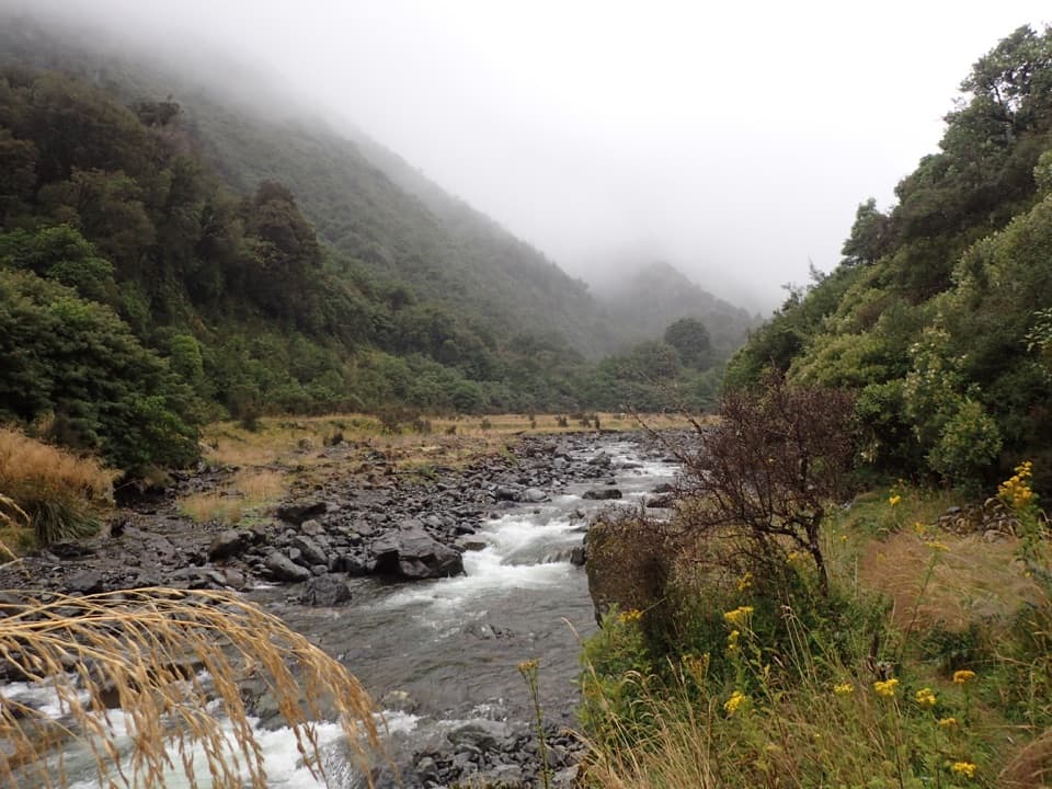
Arthur's Pass National Park, CB · WC
A historic alpine crossing with rivers, a high pass and remote huts.
Overview
Map & elevation
Plan your hike

The highest, rockiest slopes around here are a summer buffet for grizzly bears.
Arthur's Pass Tour Guide
Parkwolf is a GPS audio tour guide for Arthur's Pass National Park. As you drive, it chimes in with what’s ahead: hidden gems, upcoming stops, history, geology, and wildlife, right through your car’s speakers.
Recorded for this area
A Roroa Duet After Dark“After dark, a repeated, rising whistle may be a roroa, or great spotted kiwi. The male's call is high-pitched; the female answers with a lower, slower trill.”
Plays on the road 0.6 km from the trailhead in the Parkwolf Arthur's Pass Tour Guide.
More stories near here in the app
“Fantastic app with many points of information… It’s great to just turn on while you’re driving and it gives you an audio tour of the national Park. We love it!!!!”


Trail guide
Harper Pass Route crosses from Aickens on SH73 to Windy Point off SH7. The mapped line is about 49 miles (79 km) one way; allow four to five days and roughly 28 walking hours, with overnight stops. Arrange transport between the two ends.
From Aickens car park, the route first crosses the Otira River, then follows the Taramakau valley through river flats and beech forest toward Locke Stream Hut. Expect long, remote stretches between huts.
The climb from Locke Stream is steep and rough, rising through scrub and tussock to Harper Pass at about 962 m. Descend to the Hurunui headwaters and the small Harper Pass Bivvy shortly beyond the pass.
The eastern side is generally easier, but several river crossings remain. Cameron Stream has an emergency walk-wire. The sulphurous hot spring above the Hurunui is easy to miss and requires a short climb from the valley.
The route passes a Lake Sumner viewpoint and crosses the open, often boggy Kiwi Valley to Hope Kiwi Lodge, then reaches Hope Halfway Hut. The final leg follows the Boyle River gorge and crosses a swing bridge before Windy Point.
This is an advanced backcountry route with no food services. Confirm booking or hut-ticket requirements for each overnight stop and carry supplies for several days. Dogs are not allowed.
Wildlife
 982 sightingsKeaMost seen around noonSighting map
 39 sightingsNew Zealand FalconMost seen around 5 PMSighting map
 190 sightingsBlue DuckMost seen around 5 PMSighting map
 20 sightingsKākāMost seen around 8 AMSighting map
 15 sightingsWekaMost seen around 7 AMSighting map
 15 sightingsParadise ShelduckMost seen around 6 PMSighting map
Sighting maps show where each species has been reported across Arthur's Pass. Wildlife moves, so no sighting is guaranteed.
Keep exploring
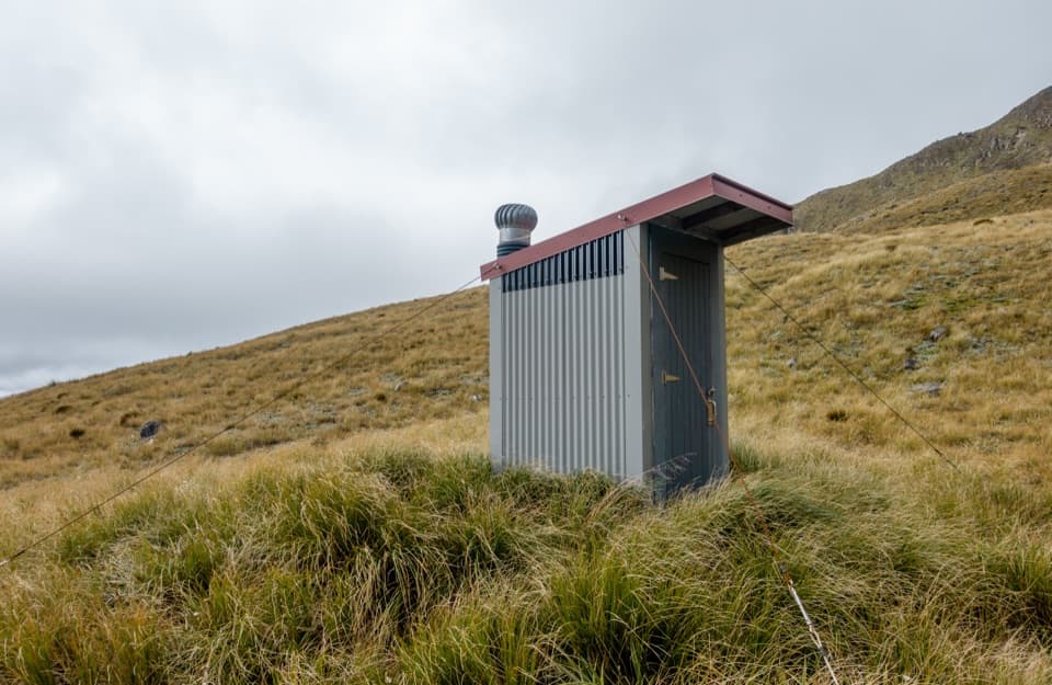 ChallengingPfeifer Bivvy via Waharoa Saddle15.3 km · 10 hr · 3.4 km awayA remote bivvy above a rough creek climb and alpine saddle.
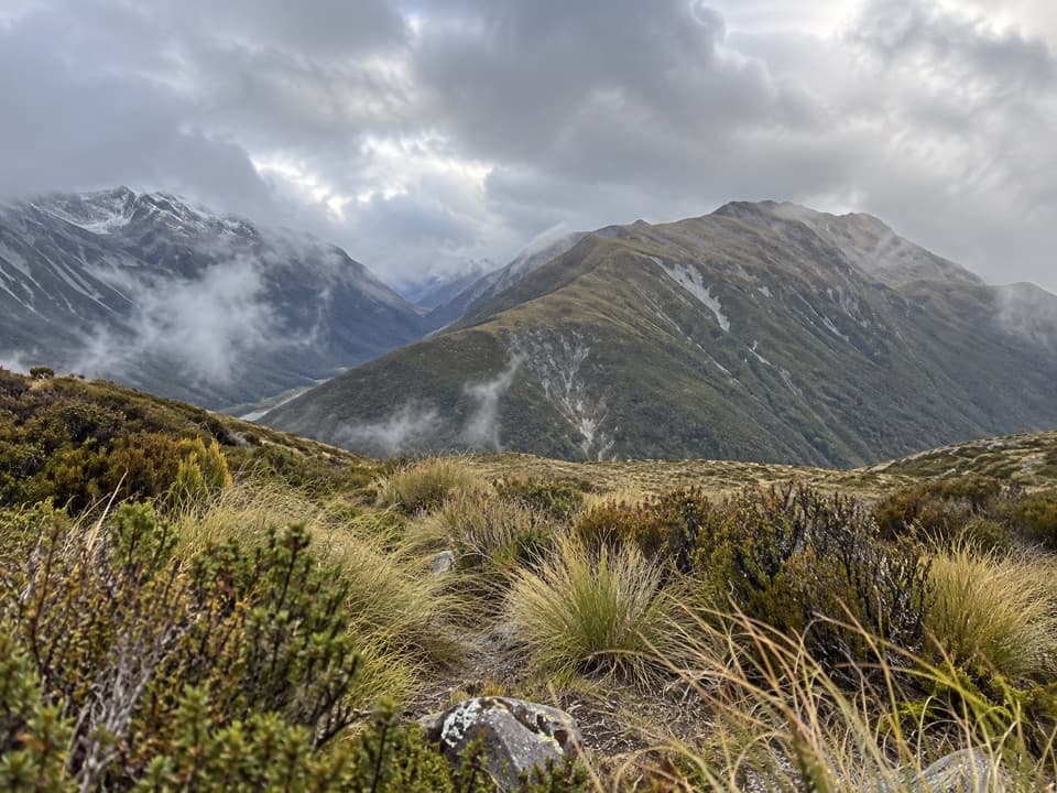 ChallengingKellys Hill via Carroll Hut8 km · 8 hr · 6.3 km awayA steep forest climb to an exposed summit and Tasman Sea views.
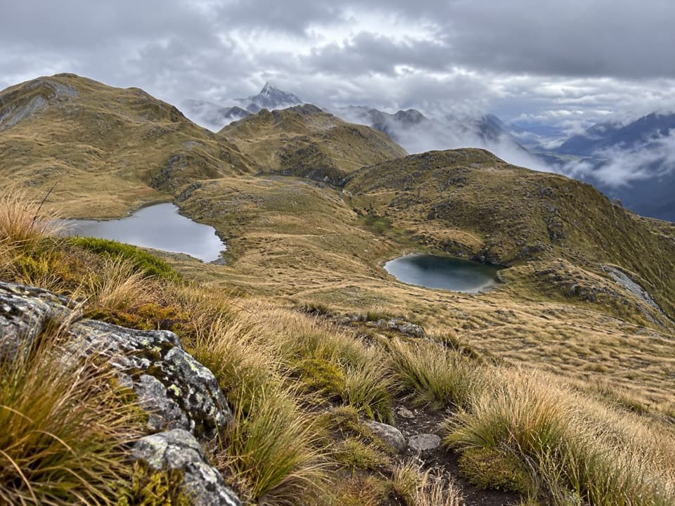 ChallengingKelly Range Tarns via Carroll Hut10 km · 8.5 hr · 6.3 km awayA steep hut climb opens to Kelly Range tarns and alpine views.
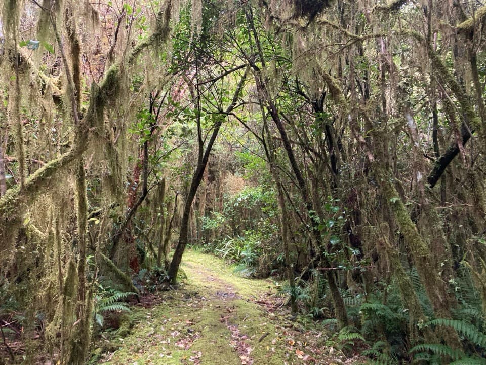 ModerateCockayne Nature Walk1 km · 30 min · 6.3 km awayA short, steep climb through lush rainforest to a hilltop bench.
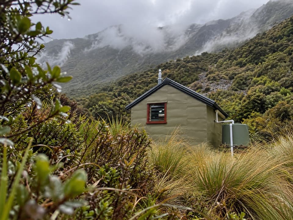 ChallengingHunt Saddle Track to Hunts Creek Hut Track16.8 km · 9 hr · 6.3 km awayA rough riverbed tramp to a hut in a high tussock basin.
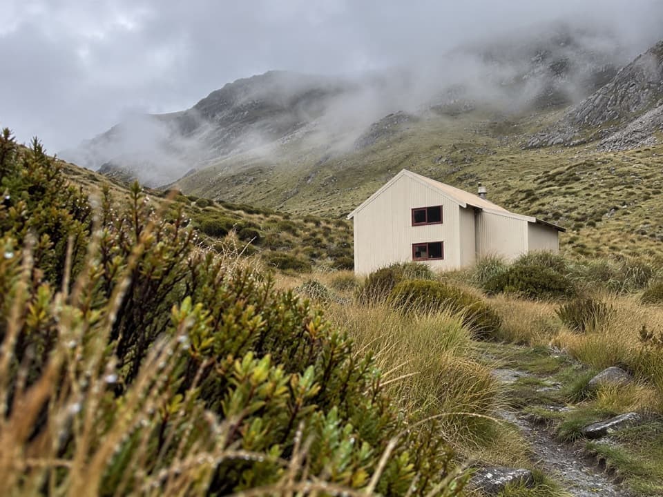 ChallengingCarroll Hut Track5 km · 6 hr · 6.3 km awayA steep forest climb to a hut above the Taramakau.
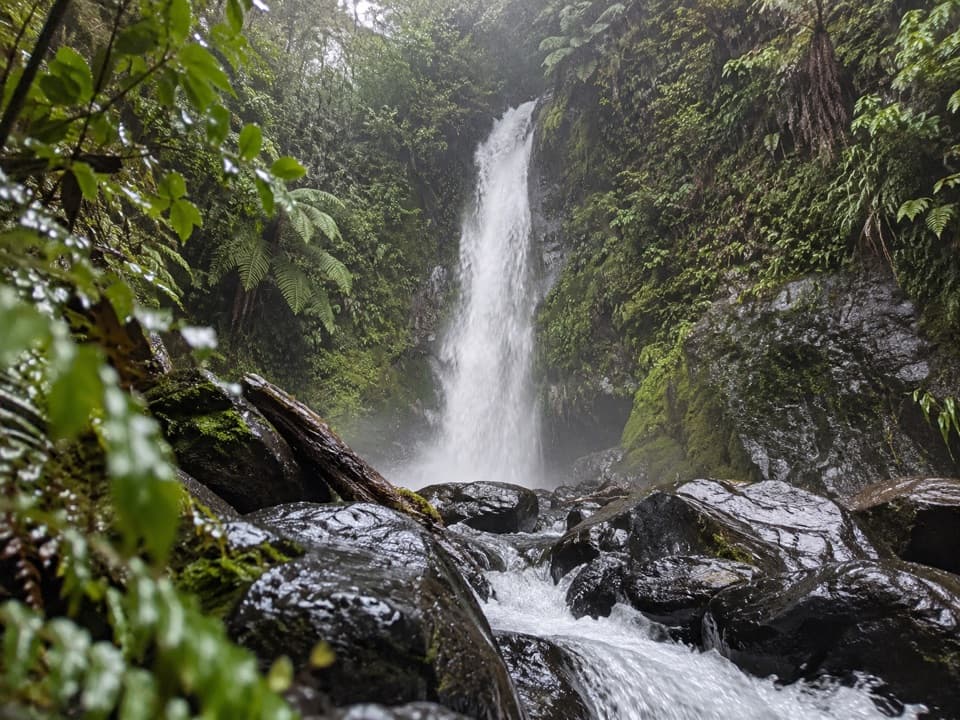 ModerateNgarimu Waterfall Track1.1 km · 40 min · 9.7 km awayA short native-bush walk to Ngarimu Waterfall
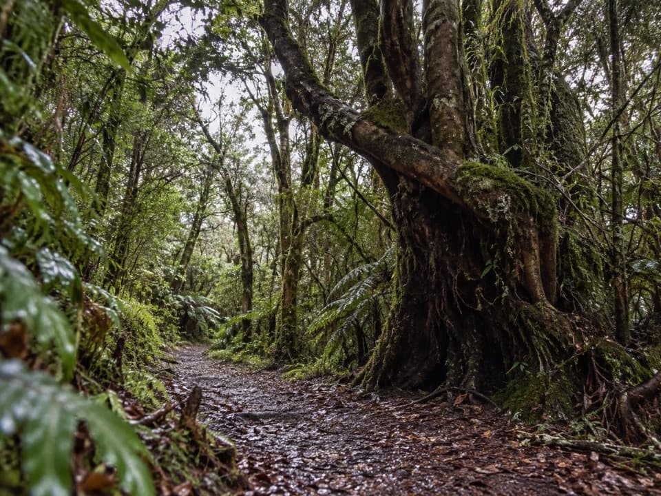 ModerateNgarimu Walking Track4.7 km · 3 hr · 9.7 km awayA rainforest climb to Jacksons’ old quartz-mine workings.
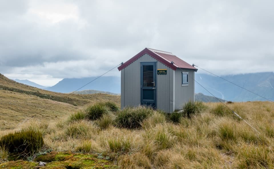 Lodging · 5.2 km awayPfeifer BivvyA remote two-bunk refuge above Lake Kaurapataka.
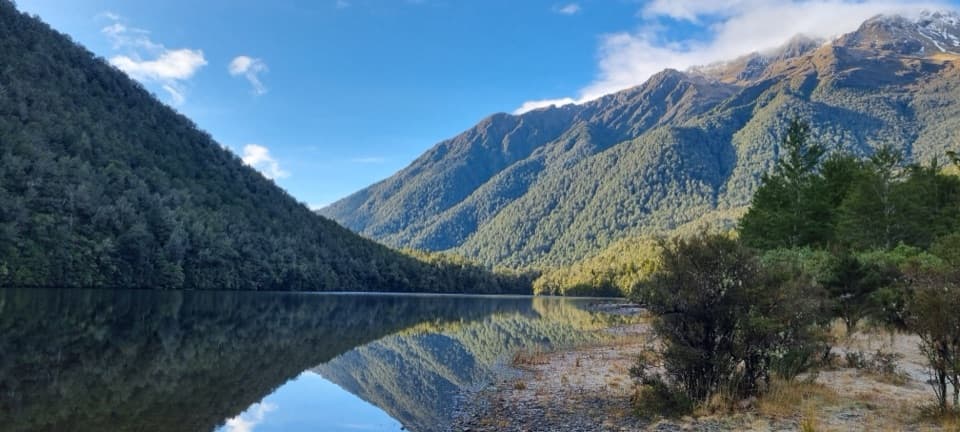 Sight · 5.9 km awayLake KaurapatakaA remote lake worth saving for an overnight walk
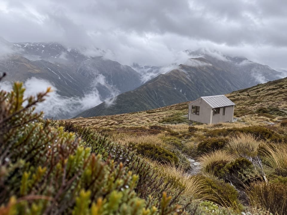 Lodging · 7 km awayCarroll HutA historic ski hut above tussock, with open West Coast views.
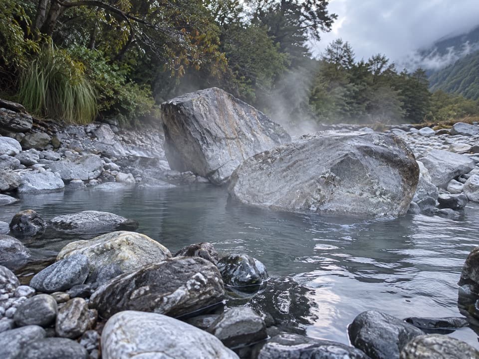 Sight · 7.6 km awayOtehake Hot SpringsA remote soak for experienced river crossers
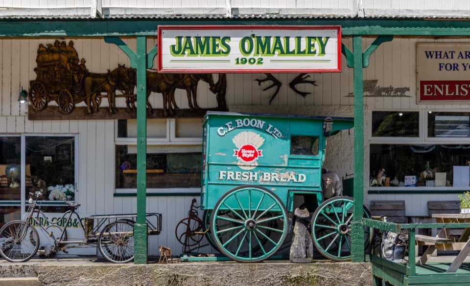 Sight · 9.3 km awayŌtira Stagecoach HotelAntiques and old wagons fill this museum-like coach-stop hotel.
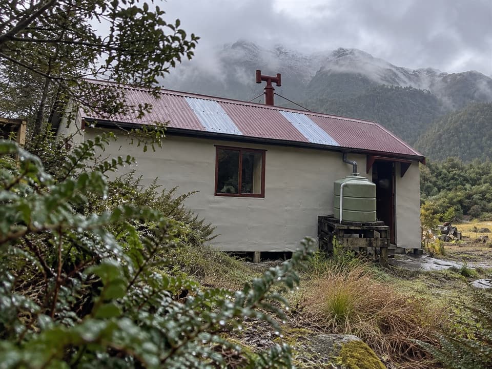 Lodging · 9.3 km awayKiwi HutA 1967 hut reached through three unbridged river crossings.
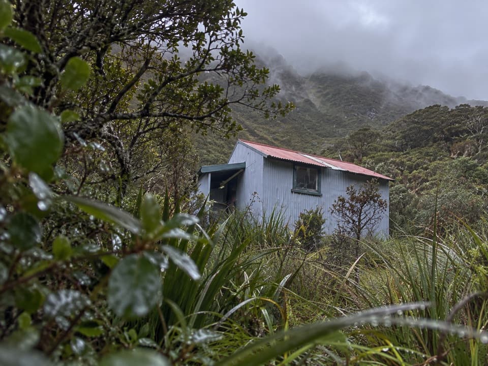 Lodging · 10.1 km awayKoropuku HutA four-bunk hut reached after a serious backcountry approach.
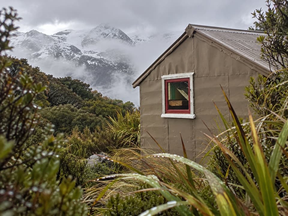 Lodging · 12.1 km awayTownsend HutA remote four-bunk hut above the upper Taramakau.
Parkwolf’s Arthur's Pass ranking

The audio tour guide for the drive, plus offline maps, trails, and wildlife heatmaps for when the signal drops.





