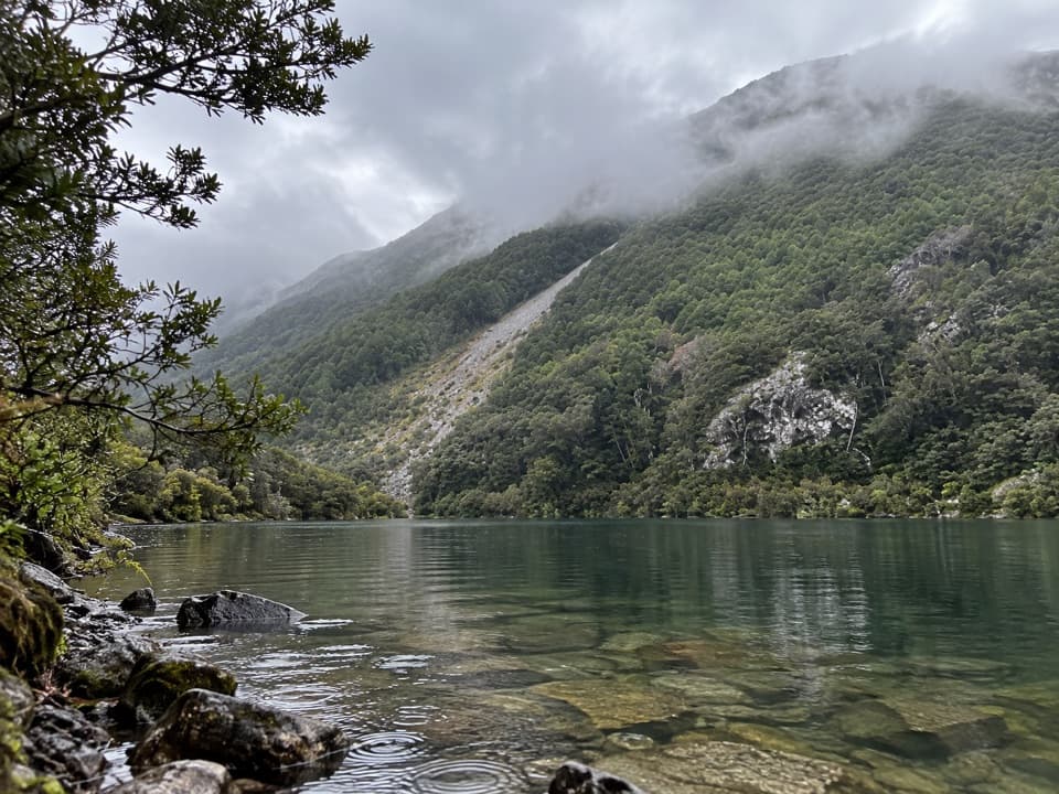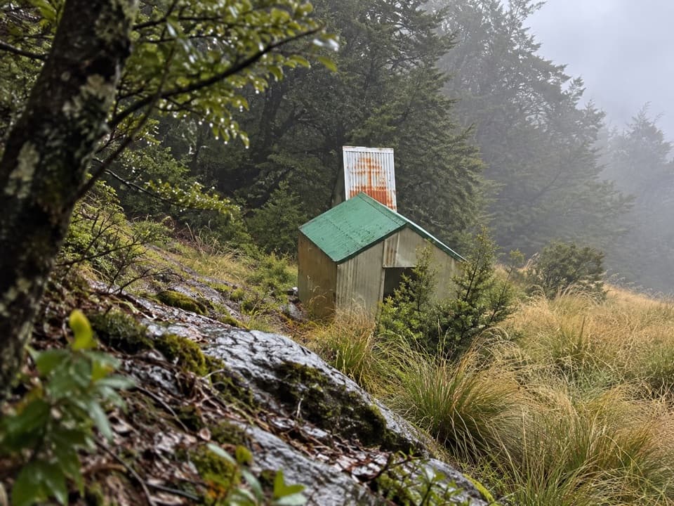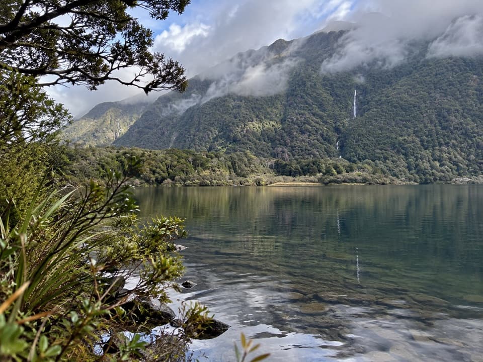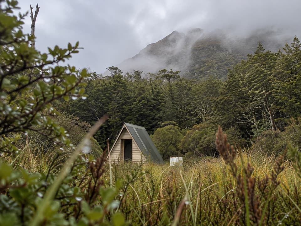
Poulter Hut in Arthur's Pass National Park

Lodging · Arthur's Pass National Park

Poulter Hut

A 10-bunk hut on the expert, multi-day Minchin Pass Route.

Overview

About Poulter Hut

Why stop

  • A 10-bunk overnight stop with heating and tent space in the clearing.

Heads up

  • The remote approach is an expert route with river crossings.

Map

Where it is

Loading the Arthur's Pass map
Full map
LodgingPoulter Hut-42.84941, 171.80990
Keep this map with you offline in the Parkwolf app

Plan your stop

Before you go

2 active Arthur's Pass alerts

  • CautionFlood damage and active slip on Harper Pass RouteFlood damage and an active slip make the western Harper Pass Route hazardous; expect difficult river crossings and avoid the slip during rain.Official details
  • CautionFlood damage on route to Sudden Valley BivvySignificant flood damage has washed away much of the route to Sudden Valley Bivvy; access is possible only when rivers are low.Official details

Arthur's Pass alerts
A park ranger sits on a dash-mounted phone, talking, as Parkwolf’s Tour Guide plays “Army Cutworm Moths: A Grizzly Bear Buffet” on Grand Loop Road below Dunraven Pass in Yellowstone
Parkwolf Tour GuideThe highest, rockiest slopes around here are a summer buffet for grizzly bears.

Arthur's Pass Tour Guide

Your drive to Poulter Hut, narrated.

Parkwolf is a GPS audio tour guide for Arthur's Pass National Park. As you drive, it chimes in with what’s ahead: hidden gems, upcoming stops, history, geology, and wildlife, right through your car’s speakers.

  • 42 audio storiesacross Arthur's Pass’s roads, triggered by GPS as you drive
  • Wildlife heatmapsfor Kea, New Zealand Falcon, Blue Duck, and 13 more
  • Works offlinemaps, 49 trails, 59 places, and audio download before you lose signal
  • CarPlay readysimple controls built for the drive
★★★★★
“Fantastic app with many points of information… It’s great to just turn on while you’re driving and it gives you an audio tour of the national Park. We love it!!!!”
JMJamesApp Store review
Download Parkwolf on the App StoreGet Parkwolf on Google Play

4.7 from 8,600+ ratings

Guide

More about Poulter Hut

A hut on the Minchin Pass routePoulter Hut is a 10-bunk backcountry hut on the true left bank of the Poulter River, where the…

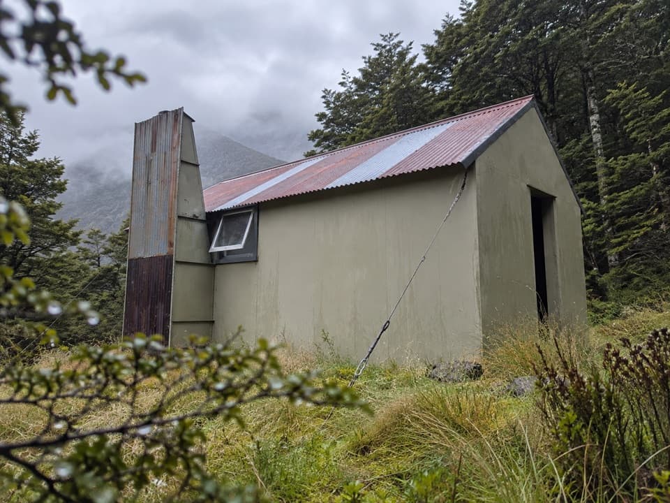
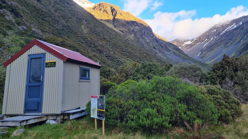
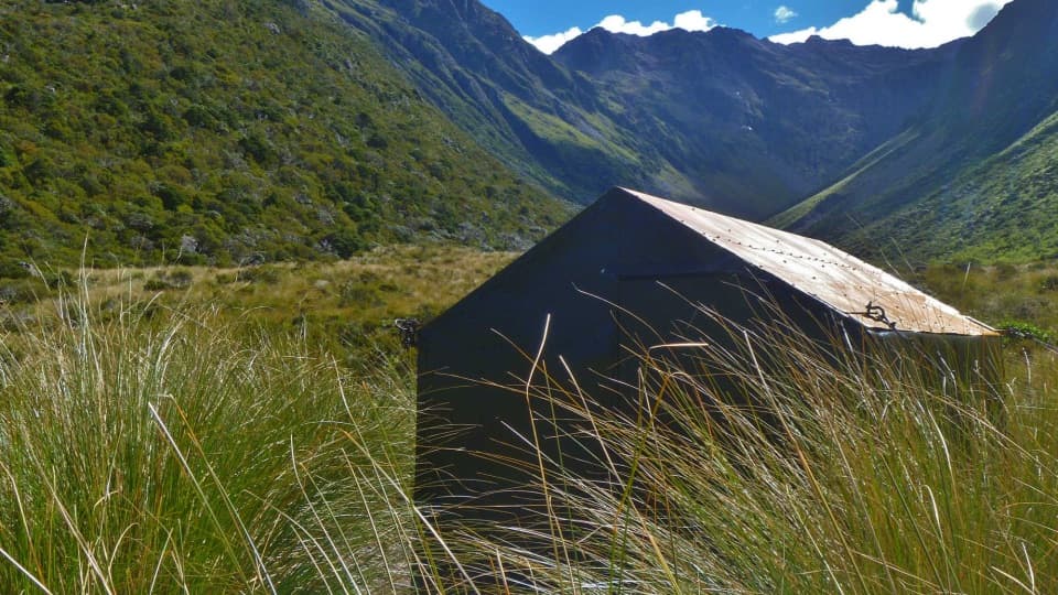
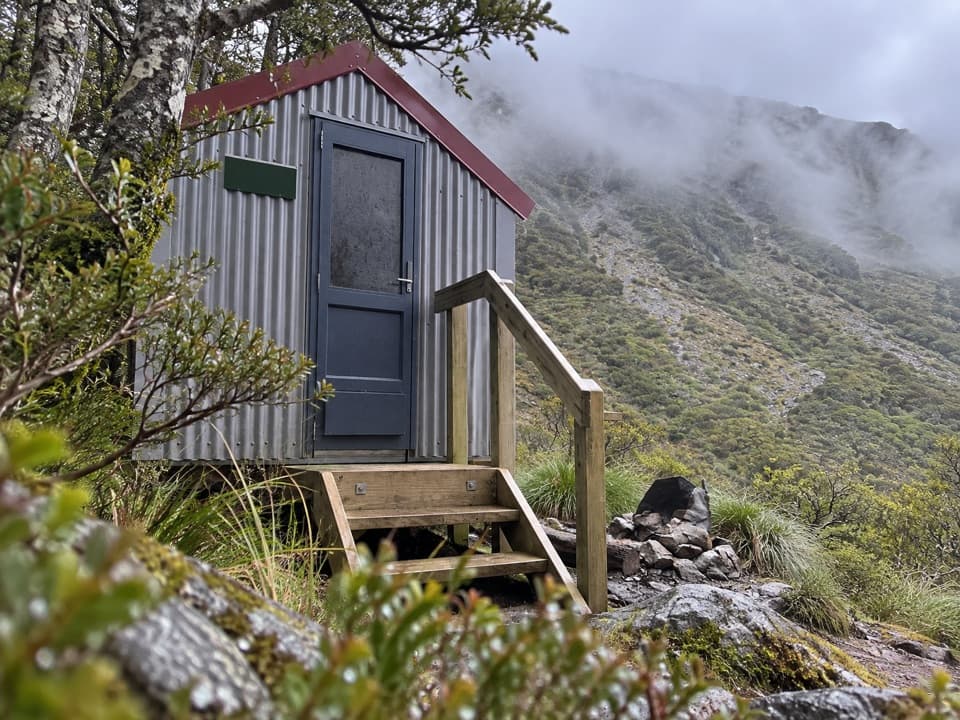
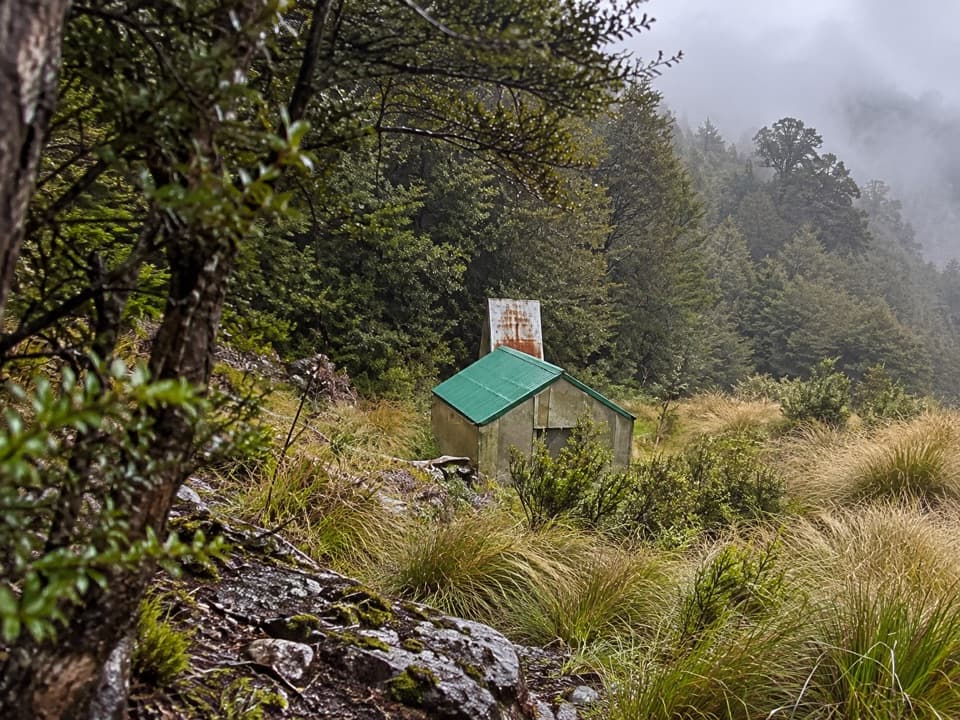
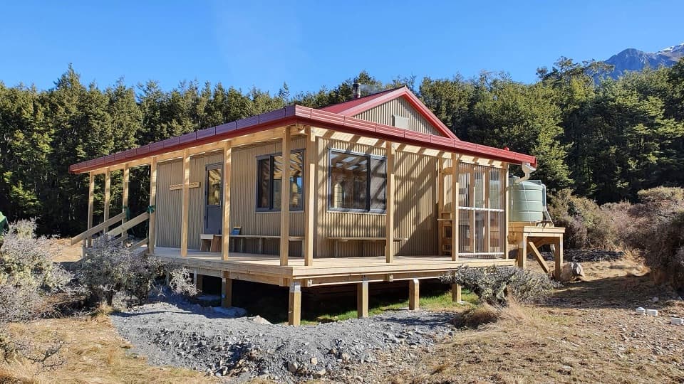
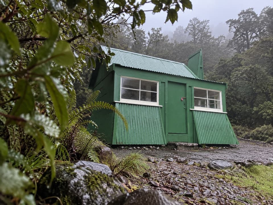
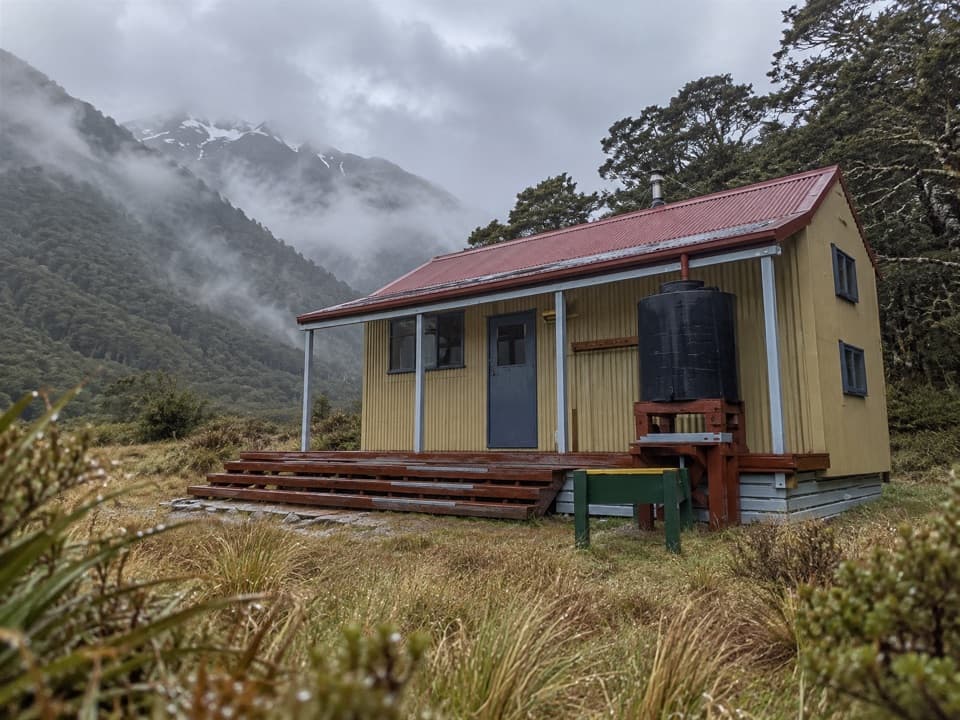
Poulter Hut is a 10-bunk backcountry hut on the true left bank of the Poulter River, where the bush opens onto a broad clearing. It’s an overnight stop on the Minchin Pass Route, not a roadside attraction; DOC grades the full route Expert and allows three to four days. I’d keep it in your plan if you’re travelling the Poulter Valley toward Minchin Pass or Lake Minchin.

The approachFrom Trust/Poulter Hut, allow about an hour.

From Trust/Poulter Hut, allow about an hour. The route leaves the old 4WD track, crosses the Poulter riverbed, then follows marker poles through high matagouri to the hut track. The full route starts at Andrews Shelter on Mount White Road, 24 km east of Arthur’s Pass. River crossings can become impassable when water rises, so don’t push on if the Poulter is running high.

A simple overnight stopThere are 10 bunks, heating and non-flush toilets.

There are 10 bunks, heating and non-flush toilets. Water from the tap is untreated; boil it before drinking. There’s no food service, so carry what you need for the trip. The clearing has room for tents. Bookings aren’t required, but you do need a DOC Hut Ticket or Backcountry Hut Pass.

The older hut siteThe current hut was built in 2003.

The current hut was built in 2003. The old hut site is another hour beyond, at Lake Minchin; the track there follows easy gradients through beech forest, but no hut remains by the lake.

Wildlife

Wildlife in Arthur's Pass

All Arthur's Pass wildlife maps

Sighting maps show where each species has been reported across Arthur's Pass. Wildlife moves, so no sighting is guaranteed.

Parkwolf’s Arthur's Pass ranking

Top sights in Arthur's Pass

All 59 places
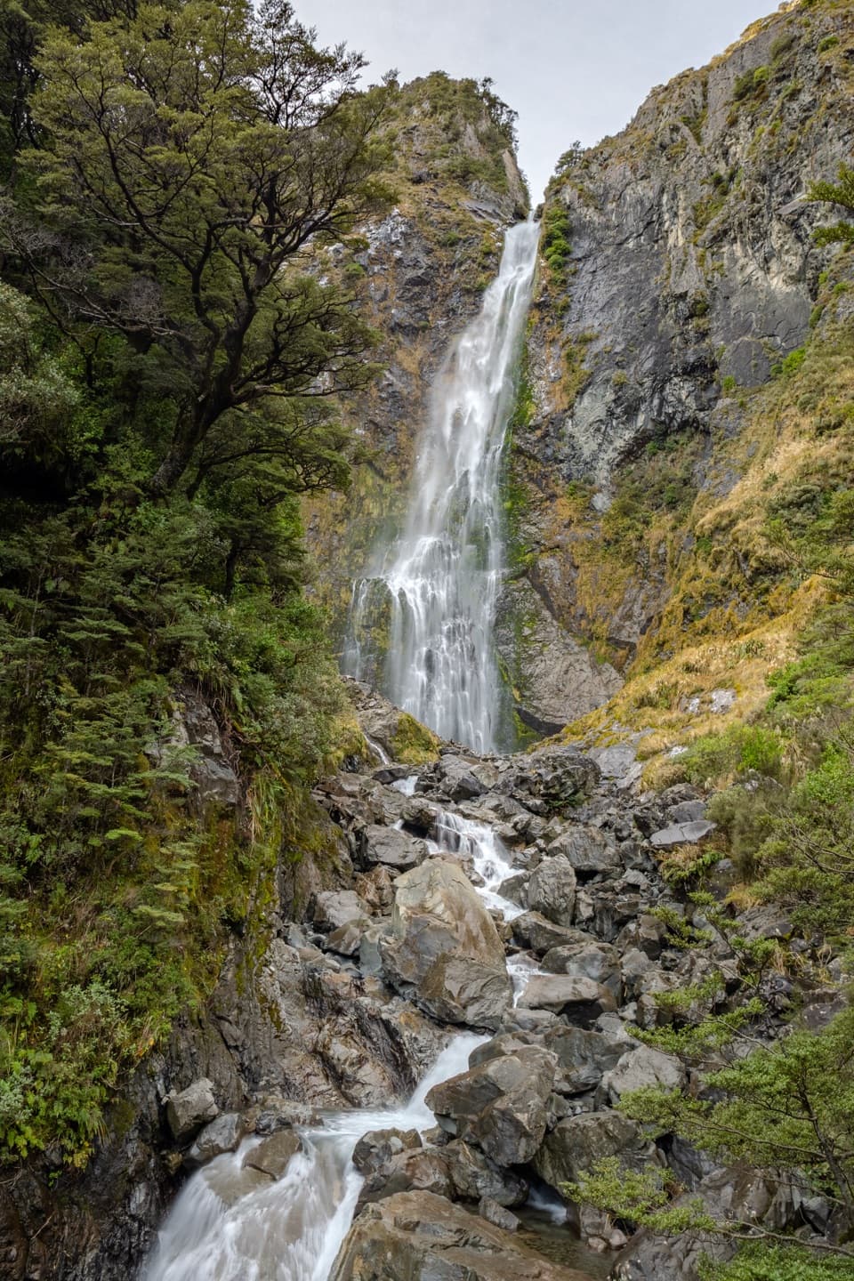
  1. 1Devils Punchbowl FallsSight
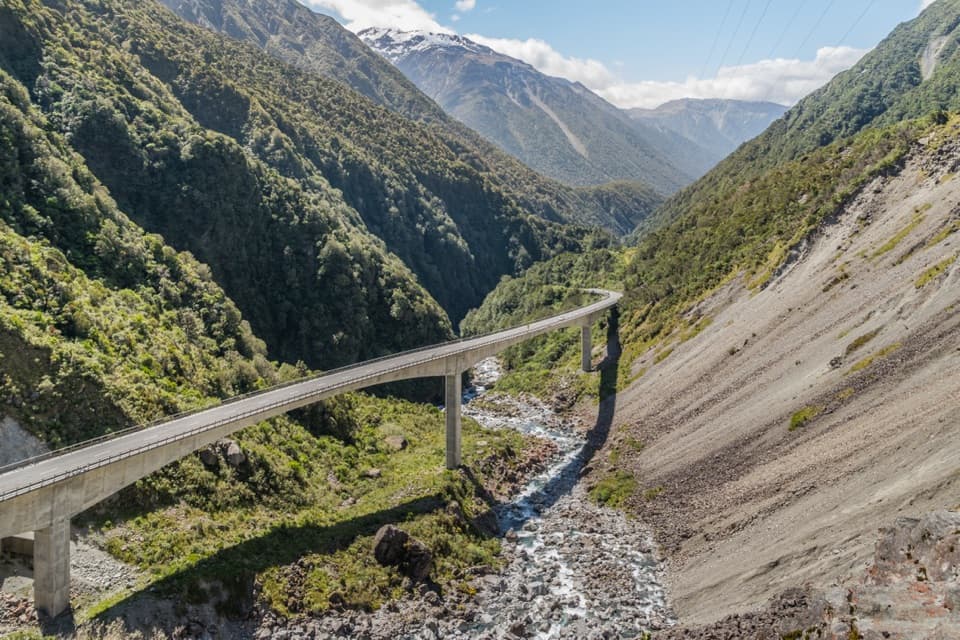
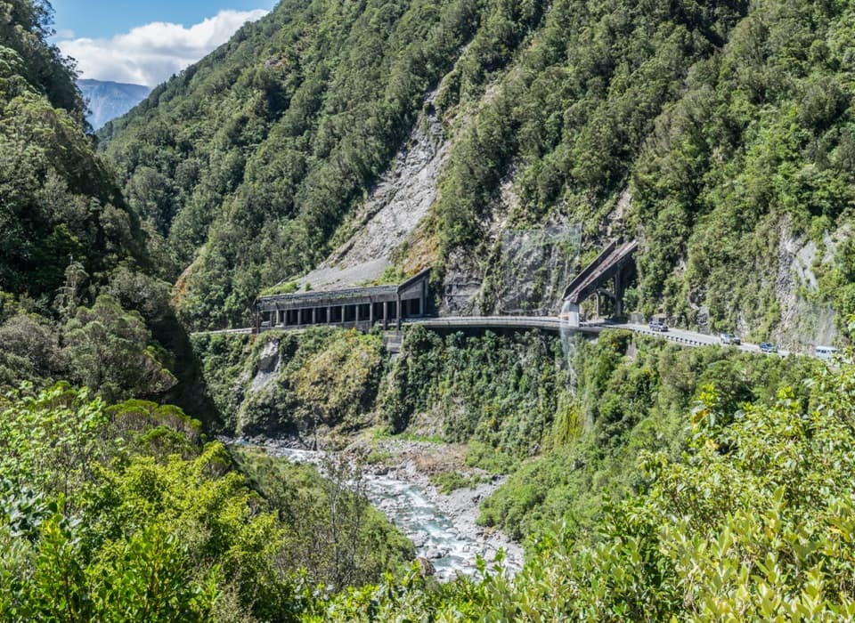
  2. 2Ōtira Viaduct LookoutSight
  3. 3Avalanche PeakSight
  4. 4Jacks HutSight
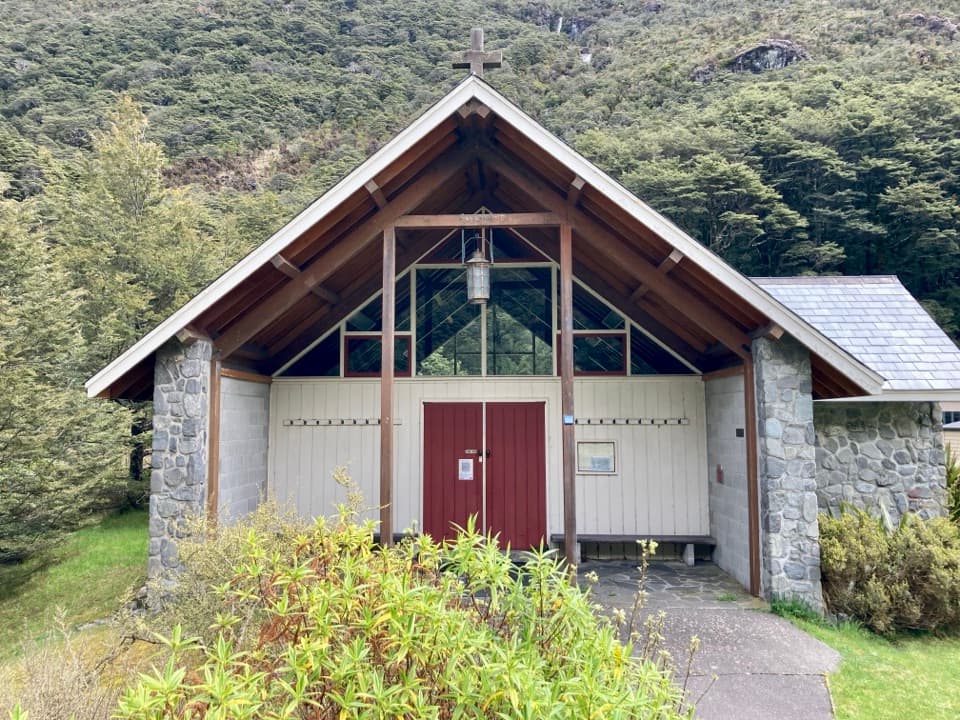
  5. 5Arthur’s Pass ChapelSight
  6. 6Ōtira Gorge Rock Shelter LookoutSight

Take Parkwolf to Arthur's Pass.

The audio tour guide for the drive, plus offline maps, trails, and wildlife heatmaps for when the signal drops.

4.7 from 8,600+ ratings

Download Parkwolf on the App StoreGet Parkwolf on Google Play