Parking
The walk starts at Poulter Hut, reached on foot through the backcountry; it has no direct road access. Arrange the approach to the hut separately.
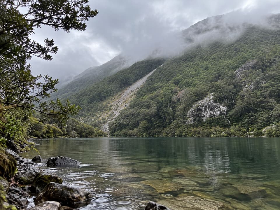
Arthur's Pass National Park, CB · WC
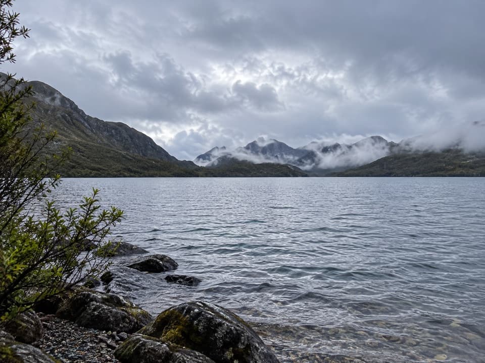
Beech forest opens onto a remote lake once served by a hut.
Overview
Map & elevation
Plan your hike

The highest, rockiest slopes around here are a summer buffet for grizzly bears.
Arthur's Pass Tour Guide
Parkwolf is a GPS audio tour guide for Arthur's Pass National Park. As you drive, it chimes in with what’s ahead: hidden gems, upcoming stops, history, geology, and wildlife, right through your car’s speakers.
“Fantastic app with many points of information… It’s great to just turn on while you’re driving and it gives you an audio tour of the national Park. We love it!!!!”


Trail guide
Lake Minchin Track is an out-and-back from Poulter Hut to the former hut site beside Lake Minchin, following an easy-gradient path through beech forest. The mapped line measures about 4.3 miles (6.9 km) round trip; allow about 2½ hours for the roughly one-hour walk each way and a stop at the shore. Published mileage differs, so treat the distance as an estimate. It is a gentle side walk if you are already in this backcountry; reaching Poulter Hut is a separate remote undertaking, not a drive-up day hike.
The track is well marked and keeps to easy gradients for about an hour from the hut to the lake. The walk follows the same corridor back to Poulter Hut. There is no need to take on the harder Minchin Pass route to make this a satisfying short outing from the hut.
The track reaches the site of the former hut at Lake Minchin. There are no huts beside the lake now; the northern end is the best camping area. The route onward around the eastern shore and up Minchin Stream is the separate Minchin Pass route, which takes several days and becomes more adventurous in its upper stream and Townsend Creek sections.
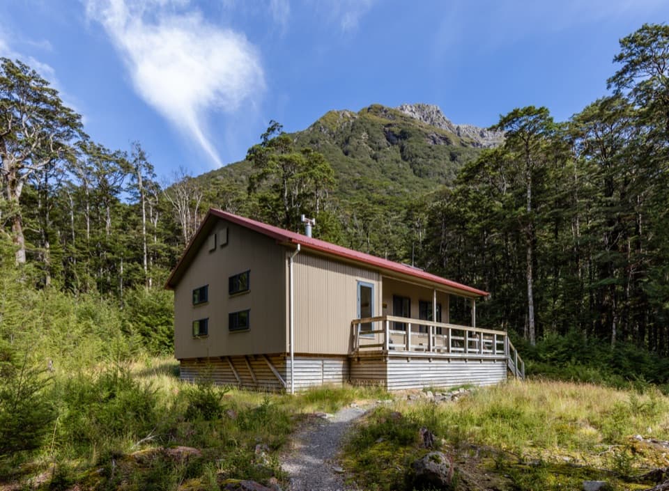
Poulter Hut is a remote standard 10-bunk hut with no advance booking; it has a non-flush toilet and tap water that is untreated and must be boiled. The hut-to-lake distance does not include the approach to Poulter Hut. The Minchin Pass approach from Andrews Shelter takes 3–4 days and is an expert route. Dogs are not permitted on this route.
Wildlife
 982 sightingsKeaMost seen around noonSighting map
 39 sightingsNew Zealand FalconMost seen around 5 PMSighting map
 190 sightingsBlue DuckMost seen around 5 PMSighting map
 20 sightingsKākāMost seen around 8 AMSighting map
 15 sightingsWekaMost seen around 7 AMSighting map
 15 sightingsParadise ShelduckMost seen around 6 PMSighting map
Sighting maps show where each species has been reported across Arthur's Pass. Wildlife moves, so no sighting is guaranteed.
Keep exploring
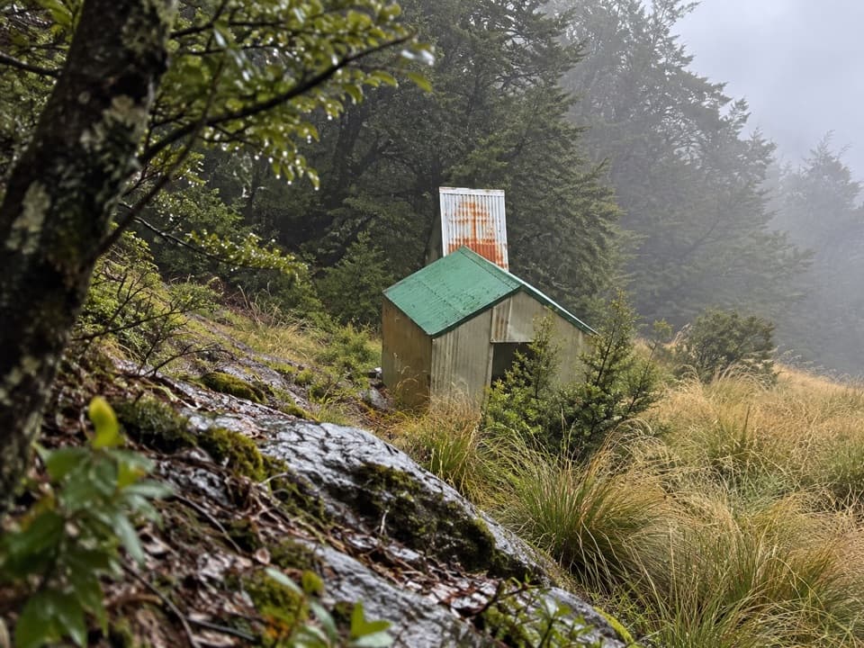 ChallengingRanger Bivvy Track16.9 km · 10 hr · 7.2 km awayA steep ridge climb to a tiny bivvy above the Poulter.
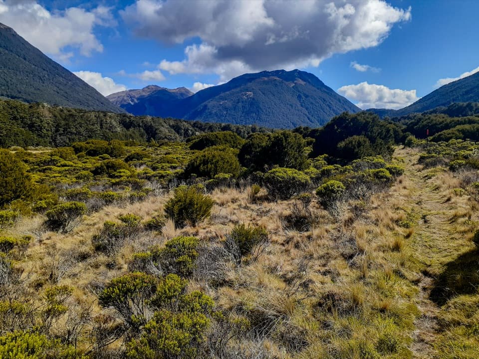 ChallengingCasey Saddle – Binser Saddle Route39.1 km · 16 hr · 16 km awayTwo days across tussock saddles, remote flats and the Poulter valley.
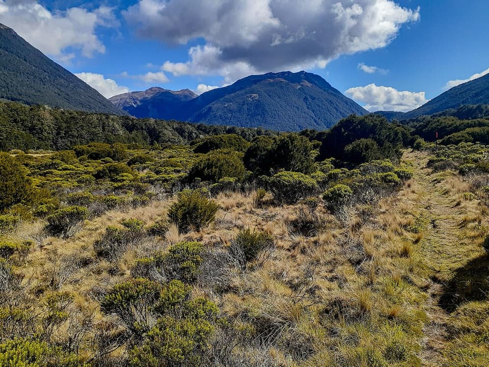 ChallengingCasey Hut via Andrews Track31.8 km · 14 hr · 16.1 km awayA two-day hut tramp over a broad tussock saddle.
 ChallengingLake Mavis Route4.3 km · 4.5 hr · 16.2 km awayA steep, mostly unmarked climb to a high lake below Mt Oates.
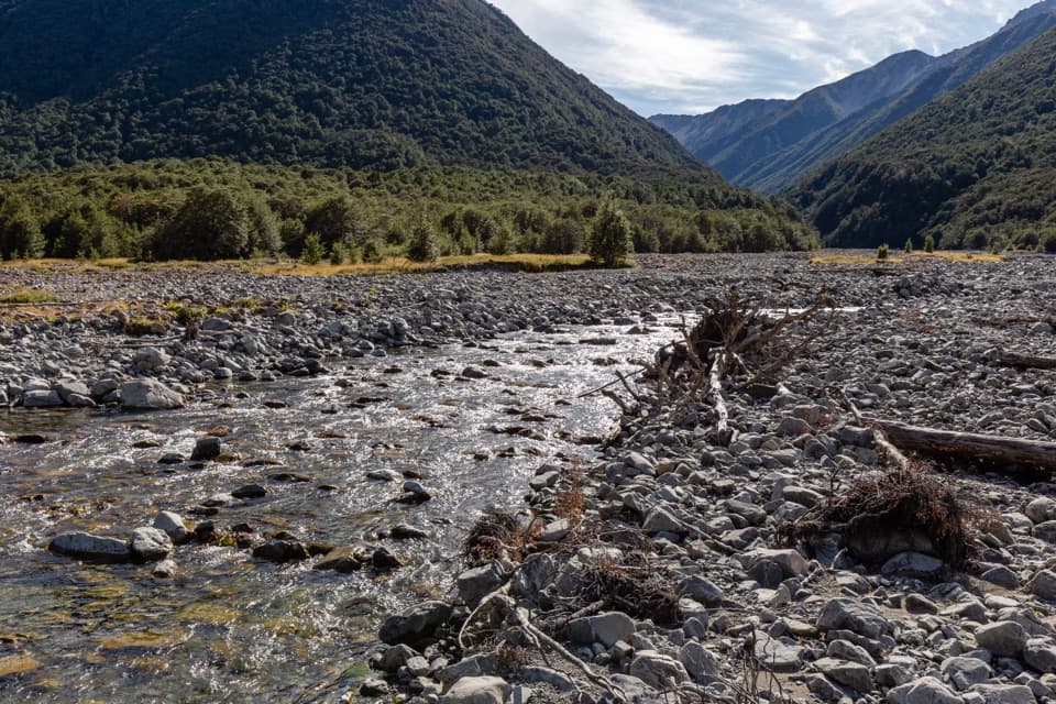 ChallengingEast Hawdon Bivvy Route22 km · 10 hr · 16.2 km awayA remote, unmarked river route to East Hawdon Bivvy.
 ChallengingHawdon Hut Track18 km · 7 hr · 16.2 km awayA backcountry hut walk with a string of river fords.
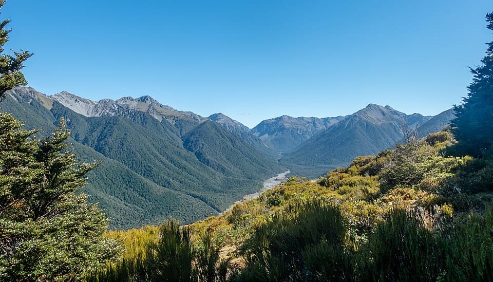 ChallengingWoolshed Hill Track5.1 km · 3 hr · 16.2 km awayA steep bushline climb for Hawdon Valley and Waimakariri views.
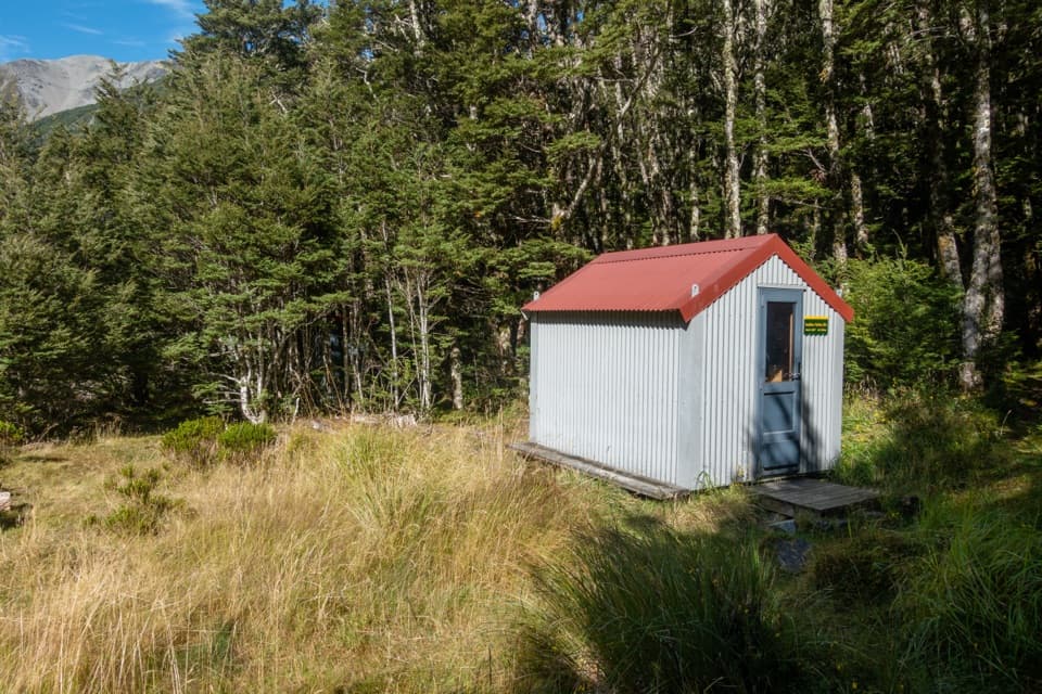 ChallengingSudden Valley Bivvy Route12.9 km · 5.5 hr · 16.2 km awayA rough river route to a tucked-away two-bunk bivvy.
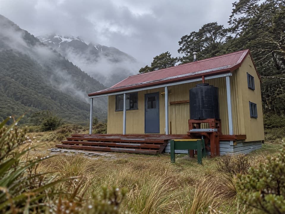 Lodging · At the trailheadPoulter HutA 10-bunk hut on the expert, multi-day Minchin Pass Route.
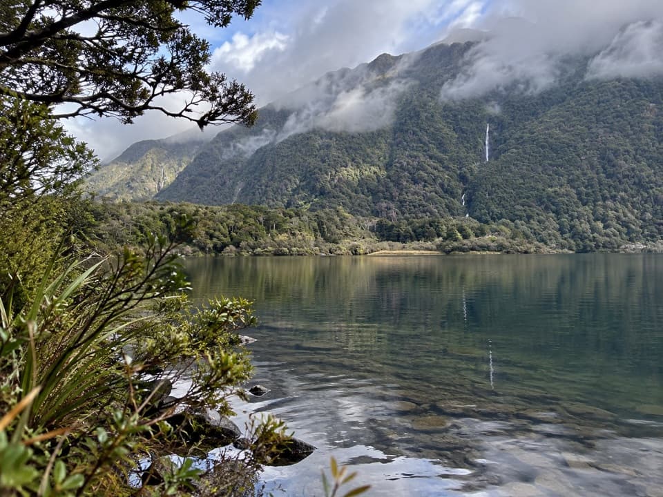 Sight · 2.1 km awayLake MinchinA pleasant one-hour lake walk from remote Poulter Hut.
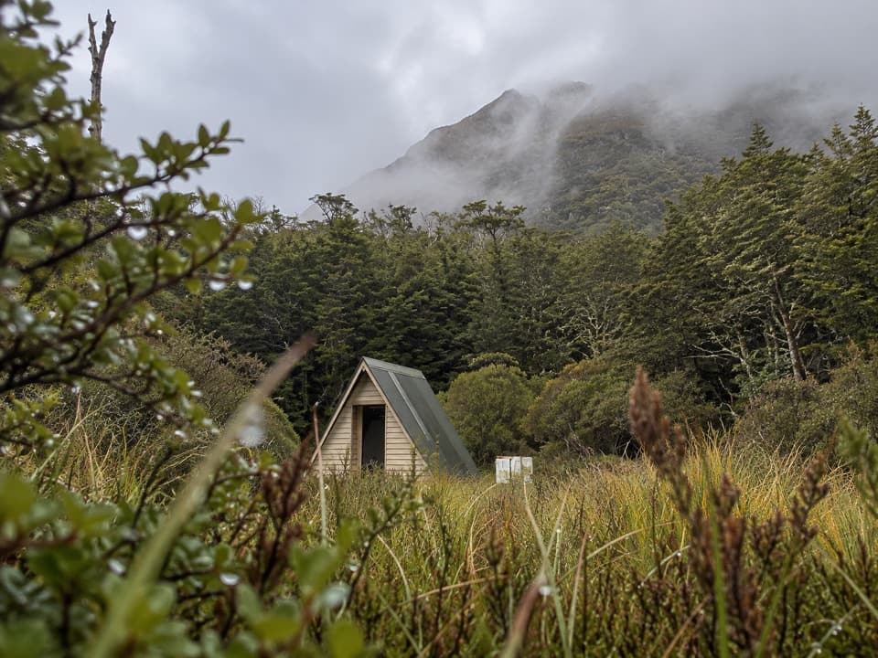 Lodging · 2.2 km awayWorsley BivvyFour bunks in a remote A-frame that takes real route planning.
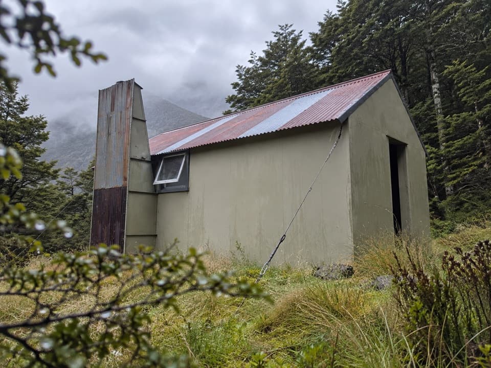 Lodging · 2.8 km awayTrust/Poulter HutA well-preserved six-bunk hut with an old Forest Service design.
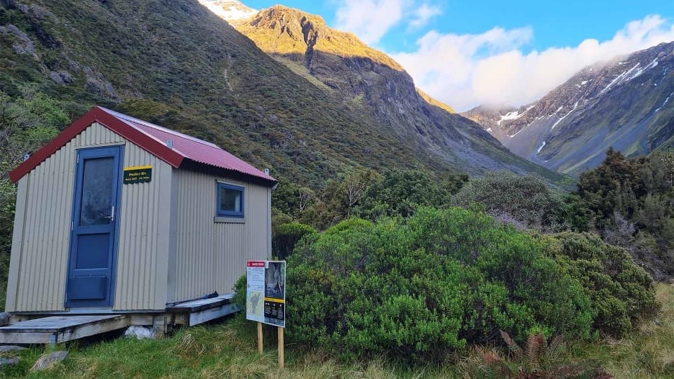 Lodging · 5 km awayPoulter BivvyA remote two-bunk shelter for experienced backcountry parties.
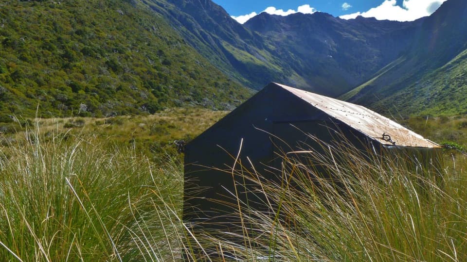 Lodging · 6.1 km awayMinchin BivvyA remote two-bunk stop before Minchin Pass.
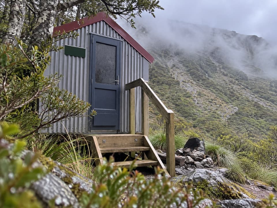 Lodging · 6.3 km awayEast Hawdon BivvyA free two-bunk bivvy for a long, off-track Hawdon Valley trip.
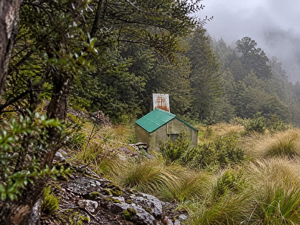 Lodging · 7.1 km awayRanger BivvyA remote two-bunk hut for experienced Poulter Range hikers.
Parkwolf’s Arthur's Pass ranking

The audio tour guide for the drive, plus offline maps, trails, and wildlife heatmaps for when the signal drops.





