Ranger Bivvy Track in Arthur's Pass National Park

Arthur's Pass National Park, CB · WC

Ranger Bivvy Track

A steep ridge climb to a tiny bivvy above the Poulter.

Length
16.9km
Time
10hr
Elev. change
696m
Difficulty
Challenging
  • No dogs
  • High point 1,291 m
Parkwolf audio tour42 stories across Arthur's Pass’s roads

Overview

About Ranger Bivvy Track

Why go

  • A quiet, high bivvy with a short climb to Upper Poulter views.

Heads up

  • A long, remote side trip with unbridged crossings and no DOC track access.

Map & elevation

The route

Loading the Arthur's Pass map
Full map
Elevation595–1,291 m
TrailheadCasey Hut-42.89585, 171.87107
Keep this map with you offline in the Parkwolf app

Plan your hike

Before you go

Parking

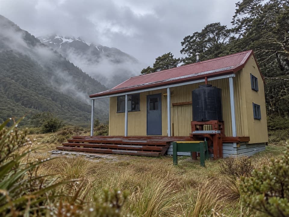
The route starts at Casey Hut, which has no road access. Reach the hut on foot from Andrews Shelter Campsite or the lower Poulter access on Mount White Road; the hut approach is a separate backcountry tramp, often with an overnight before this side trip.

Safety

The Casey, Poulter and Fenwick crossings are unbridged and can be unsafe in high water. DOC lists no DOC track access to Ranger Bivvy; the community-cut line has not been checked recently. Carry a map, compass and GPS, and turn back if you cannot cross safely.

2 active Arthur's Pass alerts

  • CautionFlood damage and rockfall risk on Harper Pass RouteFlood damage and an active slip affect the Harper Pass Route below Kiwi Hut and near Locke Stream Hut.Official details
  • CautionFlood damage on route to Sudden Valley BivvySignificant flood damage makes the route to Sudden Valley Bivvy passable only when rivers are low.Official details
Arthur's Pass alerts
A park ranger sits on a dash-mounted phone, talking, as Parkwolf’s Tour Guide plays “Army Cutworm Moths: A Grizzly Bear Buffet” on Grand Loop Road below Dunraven Pass in Yellowstone
Parkwolf Tour GuideThe highest, rockiest slopes around here are a summer buffet for grizzly bears.

Arthur's Pass Tour Guide

Your drive to Ranger Bivvy Track, narrated.

Parkwolf is a GPS audio tour guide for Arthur's Pass National Park. As you drive, it chimes in with what’s ahead: hidden gems, upcoming stops, history, geology, and wildlife, right through your car’s speakers.

  • 42 audio storiesacross Arthur's Pass’s roads, triggered by GPS as you drive
  • Wildlife heatmapsfor Kea, New Zealand Falcon, Blue Duck, and 13 more
  • Works offlinemaps, 49 trails, 59 places, and audio download before you lose signal
  • CarPlay readysimple controls built for the drive
★★★★★
“Fantastic app with many points of information… It’s great to just turn on while you’re driving and it gives you an audio tour of the national Park. We love it!!!!”
JMJamesApp Store review
Download Parkwolf on the App StoreGet Parkwolf on Google Play

4.7 from 8,600+ ratings

Trail guide

Hiking Ranger Bivvy Track

A remote side trip from Casey HutRanger Bivvy Track is a 10.52-mile (16.

Ranger Bivvy Track is a 10.52-mile (16.9 km) out-and-back from Casey Hut to Ranger Bivvy and back. Allow about 10 hours for the side trip. It follows river flats to Fenwick Stream, then climbs from its gorge through beech forest on a thin ridge. This is a full day for people already in the Poulter Valley, not a day hike from the highway: reaching Casey Hut from the road takes a separate tramp, commonly an overnight approach.

I'd make the detour only if you're already in the valley, have a long day in hand and are comfortable navigating a route DOC doesn't maintain.

Across the Poulter and up FenwickFrom Casey Hut, follow the Poulter River Track into the Casey Stream valley, then take the…

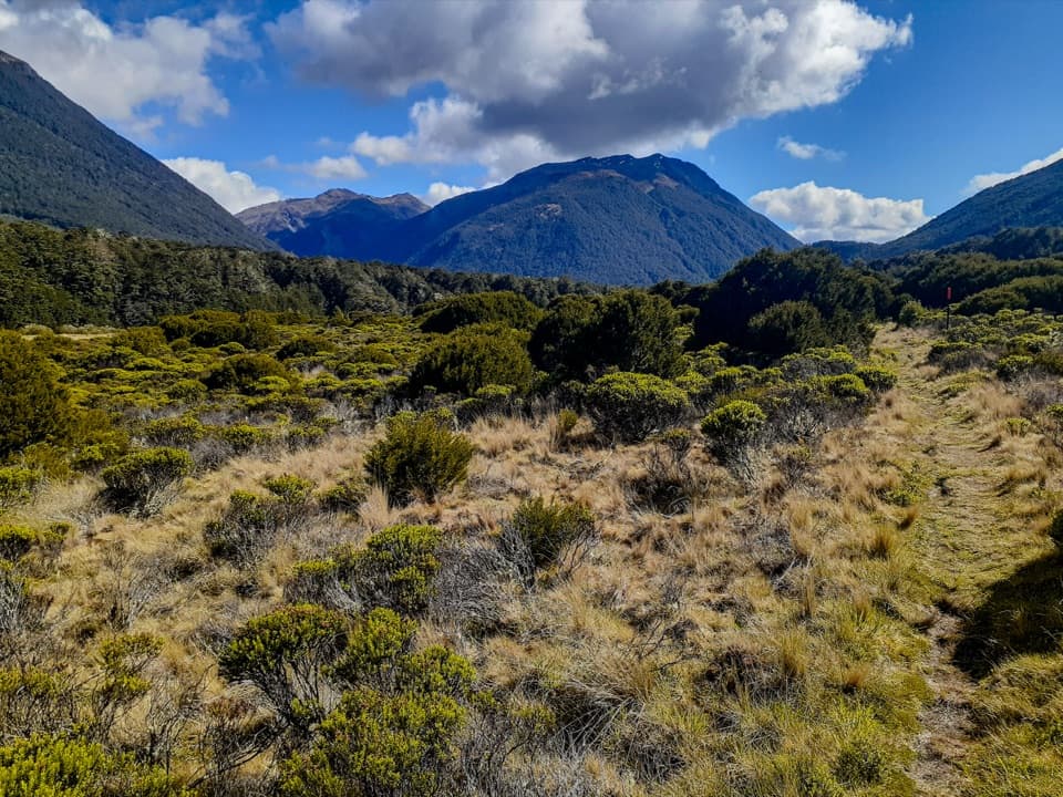
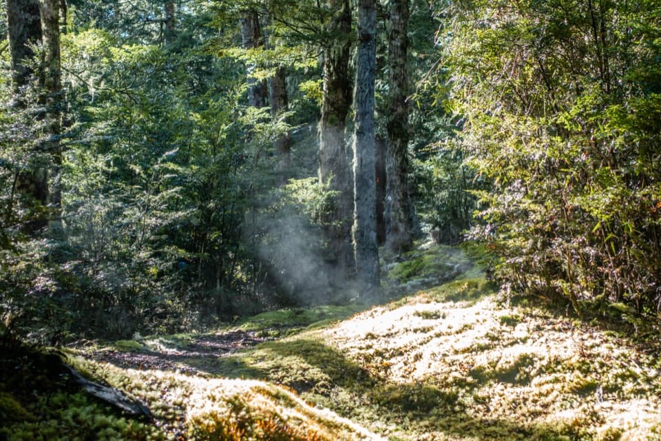
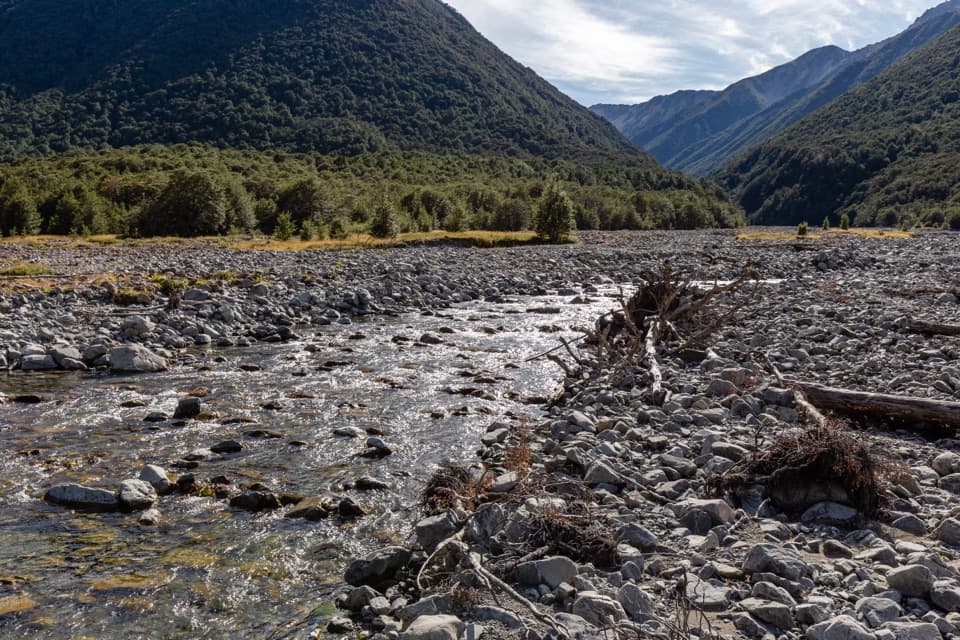
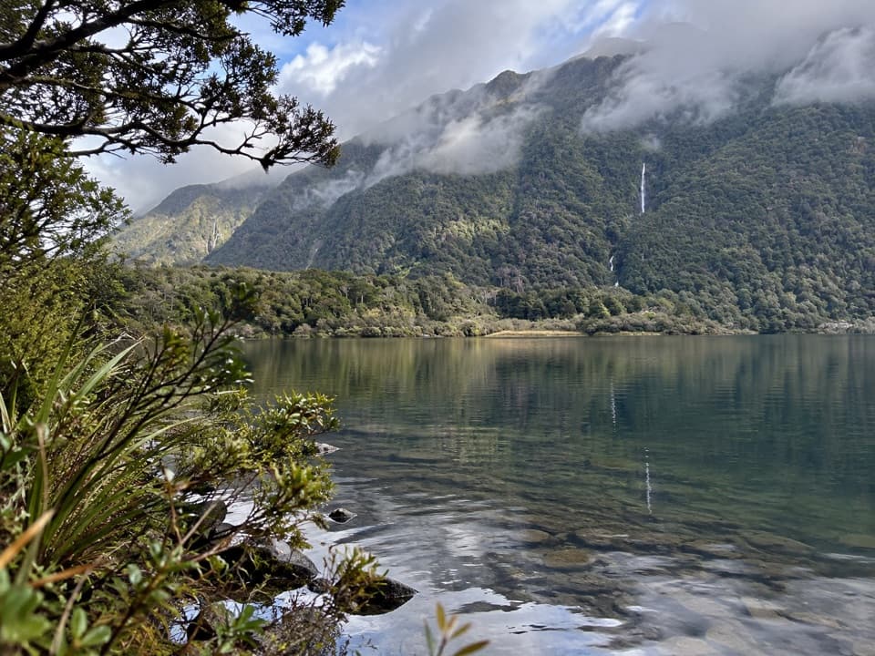
From Casey Hut, follow the Poulter River Track into the Casey Stream valley, then take the Casey Saddle branch. Two stream crossings come early and can leave you wet-footed. Continue over open river flats, cross the Poulter toward Fenwick Stream, then follow its lower bed to a large gorge. Fenwick runs underground in parts of its lower reaches, so don't expect a continuous stream beside you.

The Poulter and smaller crossings are unbridged. High water can make them unsafe; turn back if the water is up or you can't see a safe entry and exit. The route depends more on river level than a particular season.

The climb to the bivvyThe cut route starts on the true right of Fenwick Stream at the gorge and climbs a thin ridge…

The cut route starts on the true right of Fenwick Stream at the gorge and climbs a thin ridge through beech forest. From Casey Hut, it gains roughly 650 metres before reaching the bivvy. Reports from 2023 and 2024 describe a cut, marked line, but DOC says there is no DOC track access. Carry a map, compass and GPS, and don't assume those older marker reports describe today's condition. Return the same way.

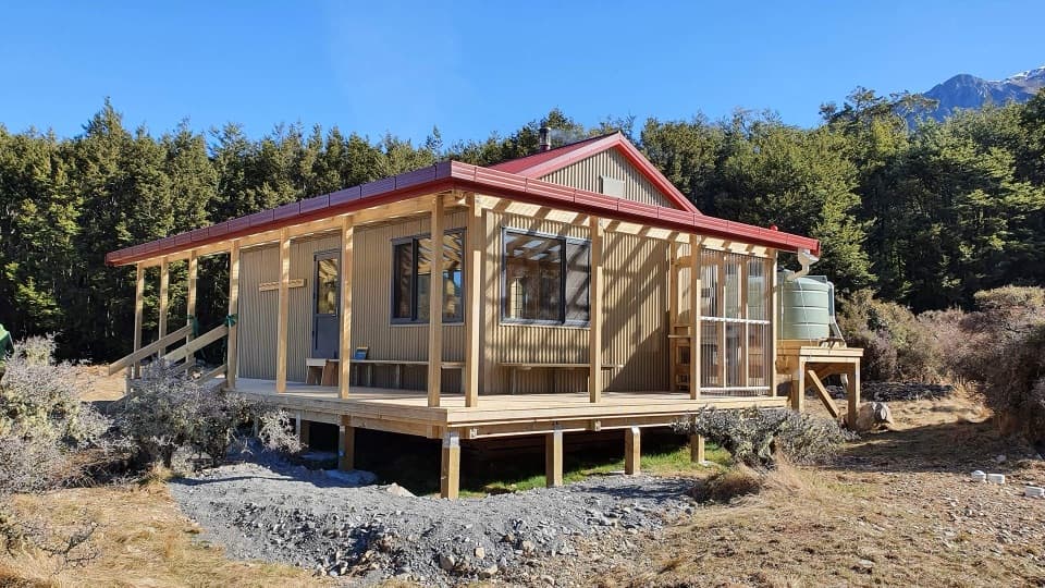
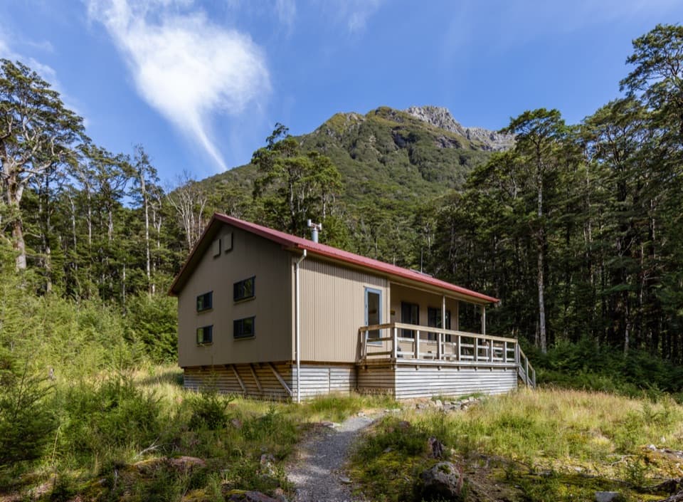
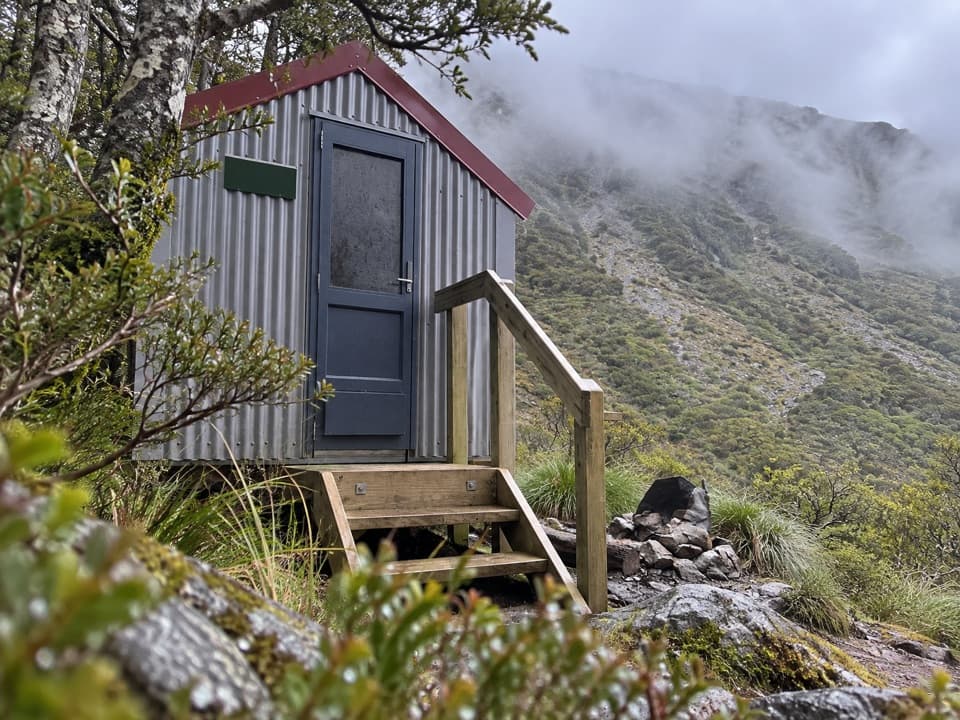
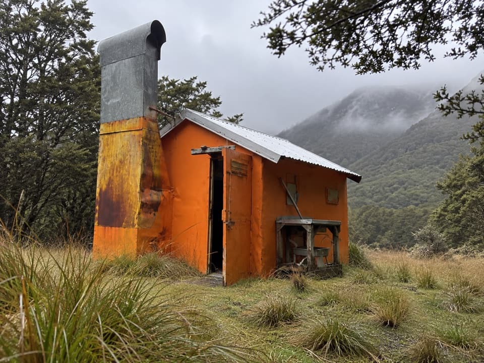
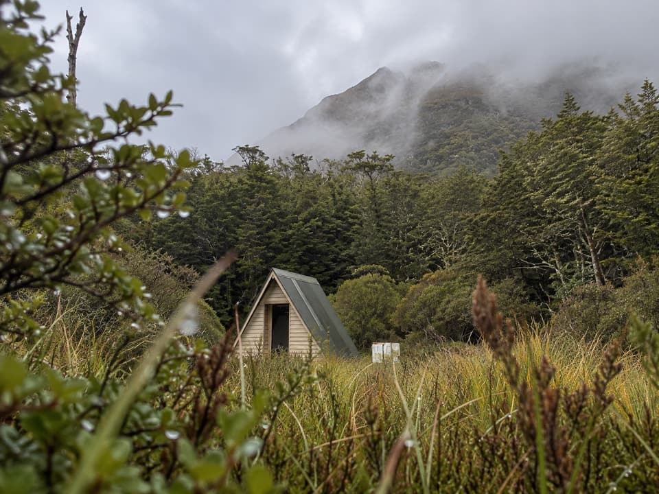
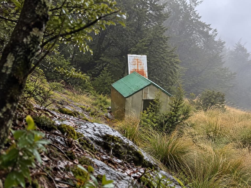
At the bivvyRanger is a basic, free, first-come hut with two bunks and no mattresses.

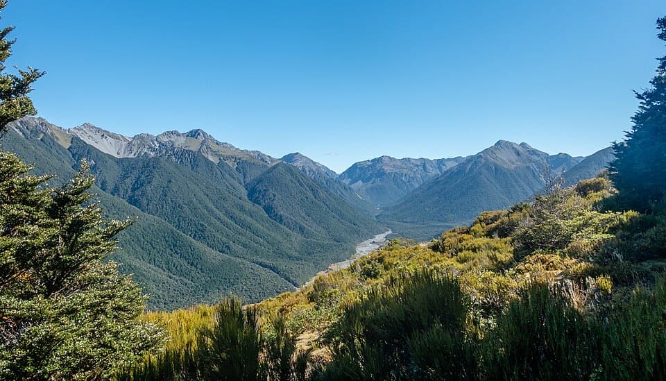
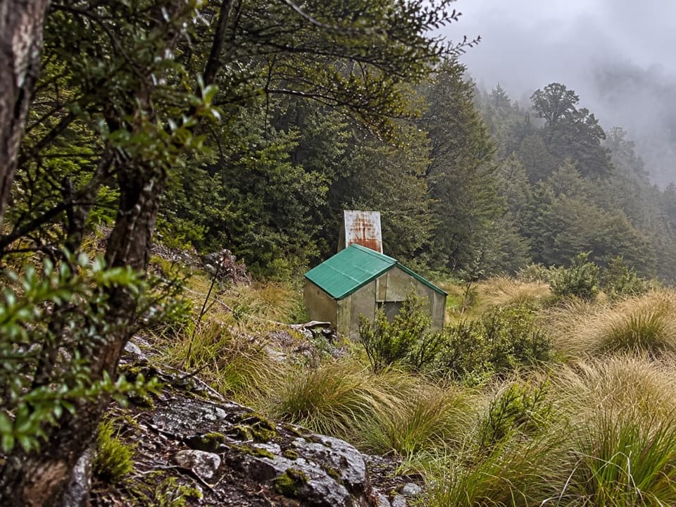
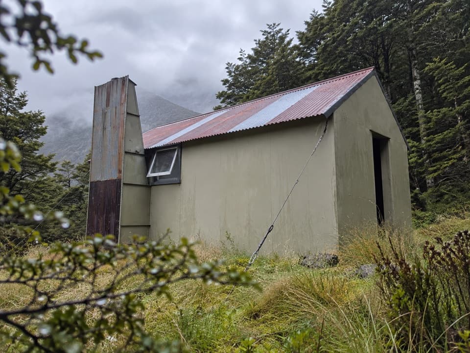
Ranger is a basic, free, first-come hut with two bunks and no mattresses. The New Zealand Forest Service built it in 1958 as Fenwick Stream Biv. A short climb through the tussock above the hut opens a view over Upper Poulter Valley and the flats opposite Minchin Stream; include the hut below you for scale. Dogs and other pets aren't allowed in Arthur's Pass National Park.

Wildlife

Wildlife in Arthur's Pass

All Arthur's Pass wildlife maps

Sighting maps show where each species has been reported across Arthur's Pass. Wildlife moves, so no sighting is guaranteed.

Keep exploring

Near Ranger Bivvy Track

See it all on the map

Trails that start nearby

Places near the trailhead

Parkwolf’s Arthur's Pass ranking

Top-rated trails in Arthur's Pass

All 49 trails
  1. 1Devils Punchbowl Walking TrackModerate · 2 km
  2. 2Avalanche Peak RouteChallenging · 6.8 km
  3. 3Bealey Spur TrackModerate · 12 km
  4. 4Arthur’s Pass Walking TrackModerate · 6.8 km
  5. 5Otira Valley TrackModerate · 3.4 km
  6. 6Scotts Track to Avalanche PeakChallenging · 7.1 km

Take Parkwolf to Arthur's Pass.

The audio tour guide for the drive, plus offline maps, trails, and wildlife heatmaps for when the signal drops.

4.7 from 8,600+ ratings

Download Parkwolf on the App StoreGet Parkwolf on Google Play