Place
Easy

This is the mellow, scenic connector between Arthur’s Pass village and the summit lookout area. Expect a generally gentle grade with a few stair bursts, especially around Bridal Veil Creek. The full walk is about 6.8 km/4.2 miles TOTAL out-and-back, and most people take roughly 2.5–2.75 hours including photo stops.
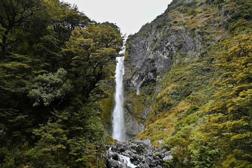
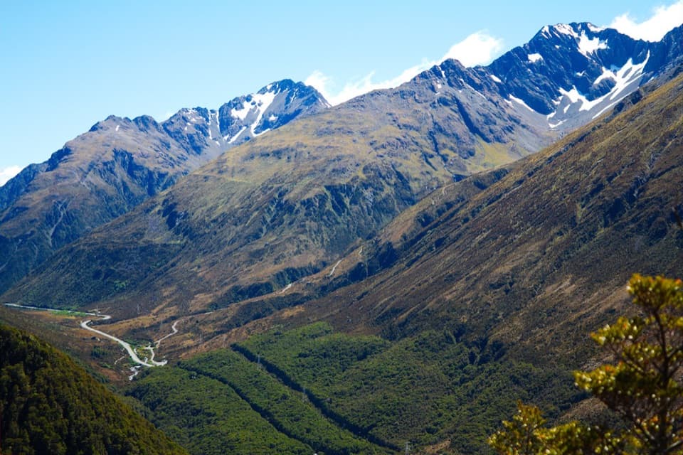
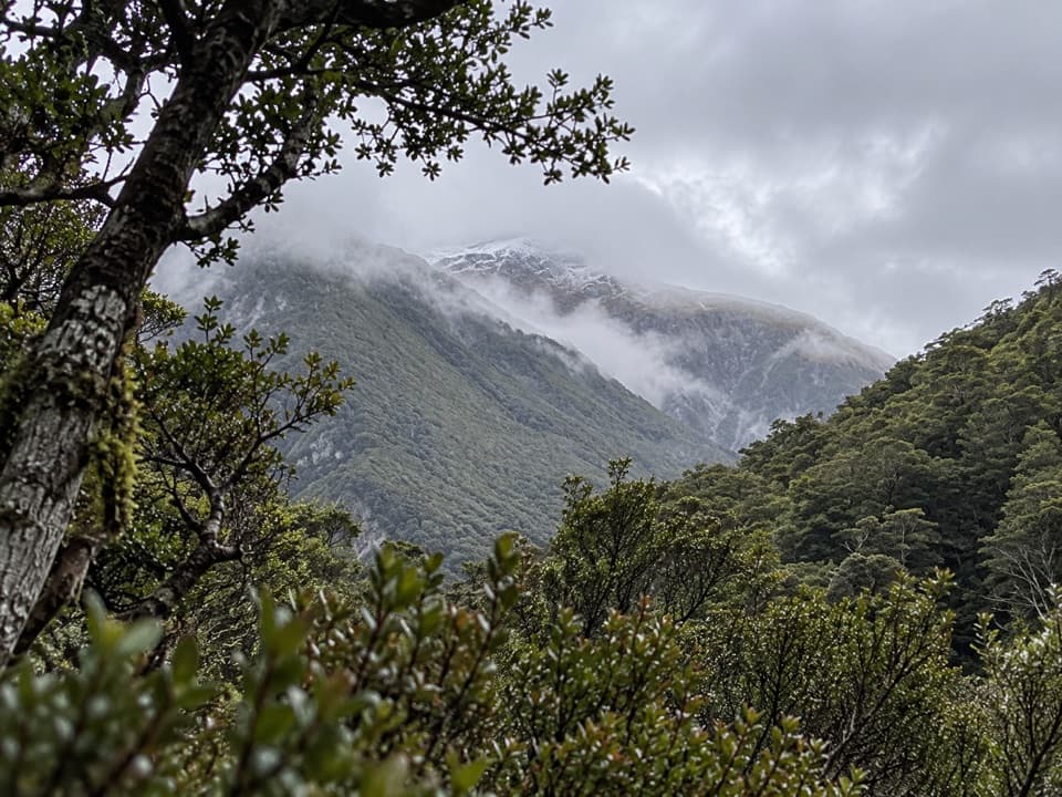
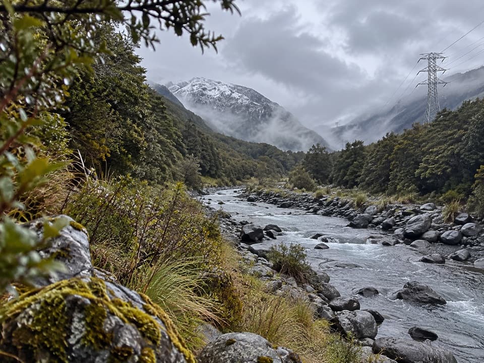
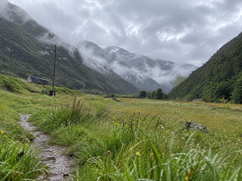
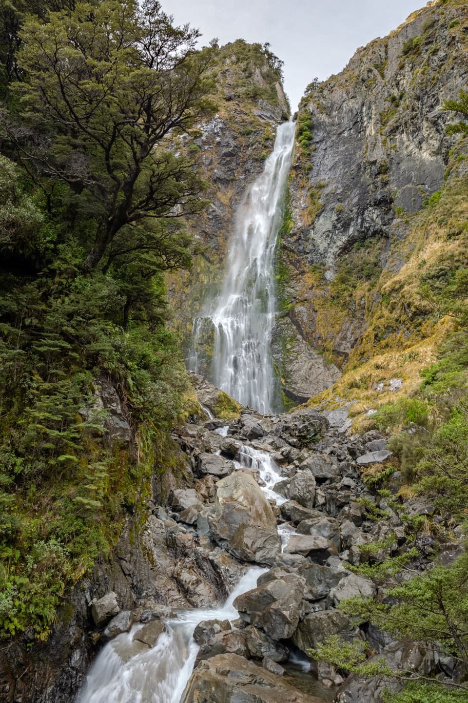
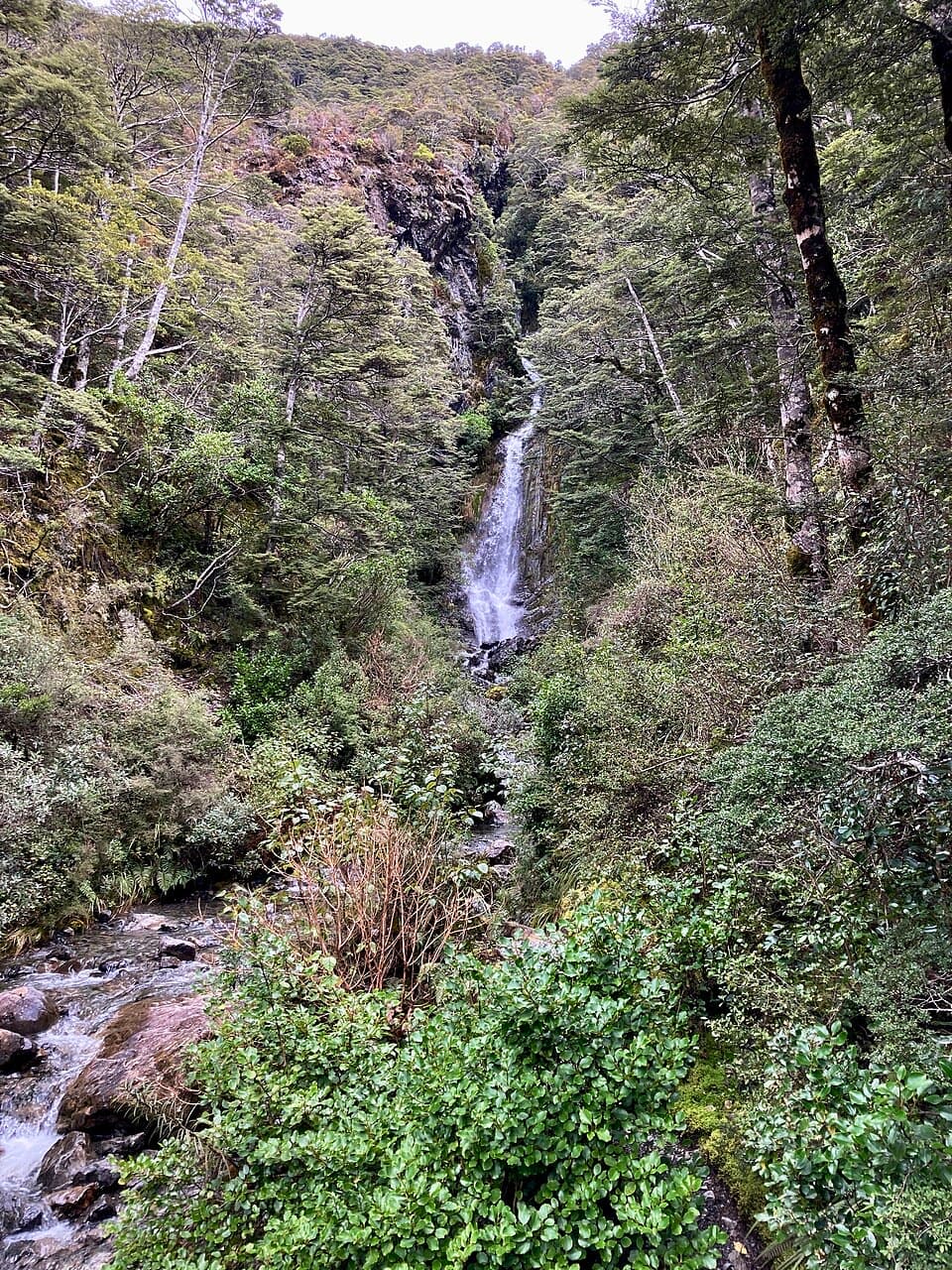
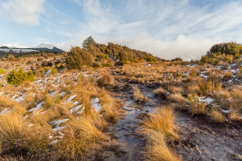
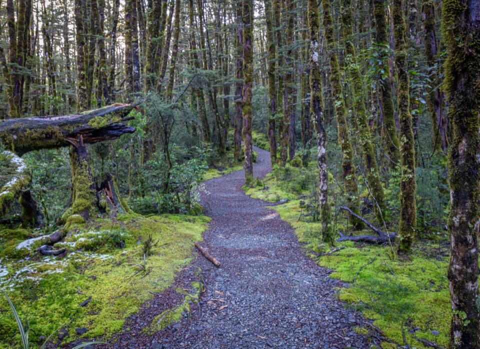
The track threads through subalpine mountain beech forest, then opens to alpine shrublands and wetlands. In spring and summer, keep an eye out for dracophyllum (those Dr. Seuss‑like shrubs that flush intense red). A short 20‑minute wander from the Punchbowl end reaches a clearing with views to Bridal Veil Falls, nearby peaks, and the village. Near Bealey Chasm/Jacks Hut the forest is older and great for birdwatching.
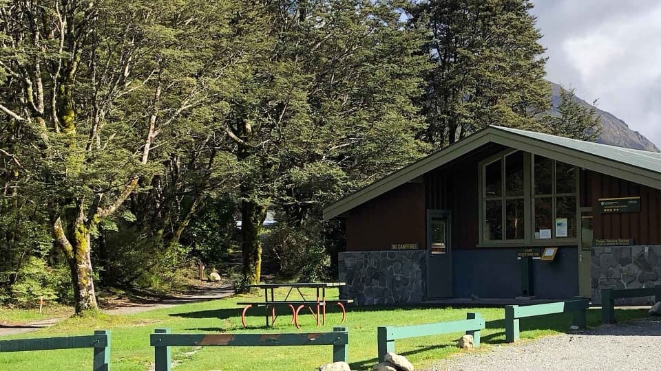
You can start at any of three car parks—Punchbowl (Devils Punchbowl), Bealey Chasm/Jacks Hut, or Temple Basin—and walk any segment before returning the same way. Along the route you’ll pass the restored Jacks Hut (a roadman’s cottage). Near the summit end, the track links with the Dobson Nature Walk to reach the Arthur’s Pass lookout; across the road sits the stone Dobson Memorial to surveyor Arthur Dudley Dobson.
This is a pleasant sampler—waterfall views early, varied native forest, open tussocky patches, and a bit of local history—without committing to big alpine climbing. The “payoff” at the summit is more about being on the pass and taking in broad surroundings than a single jaw‑drop vista. If you only have time for one short wow‑moment, the quick walk to the Bridal Veil Falls lookout from the Punchbowl end is the easiest win.
Spring through autumn (October–April) usually brings the most settled walking conditions and colorful dracophyllum. For lighter crowds and softer light, aim for mornings on weekdays; weekends around midday are busiest. Cloudy days can be atmospheric in the beech forest; save clear windows if you want the summit views.
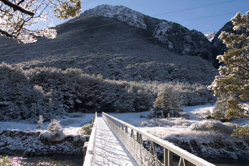
State Highway 73 is crossed at signed points near Jacks Hut and by the summit area—traffic is fast, so use the crossings and keep kids close. Surfaces range from firm forest tread to sections of steps and boardwalks through wet areas; they can be slick after rain.
Park at Punchbowl (Devils Punchbowl), Bealey Chasm/Jacks Hut, or Temple Basin car parks; choose your start and return the same way.
Use only the signed SH73 crossings—do not walk along the highway; expect steep steps and slick surfaces around Bridal Veil Creek.