Parking
The signed entrance is beside Avalanche Creek Shelter Campsite’s car park, just off SH 73 opposite Arthur’s Pass Visitor Centre. Day-use parking arrangements were not confirmed; overnight campsite bookings are separate.
Arthur's Pass National Park, CB · WC
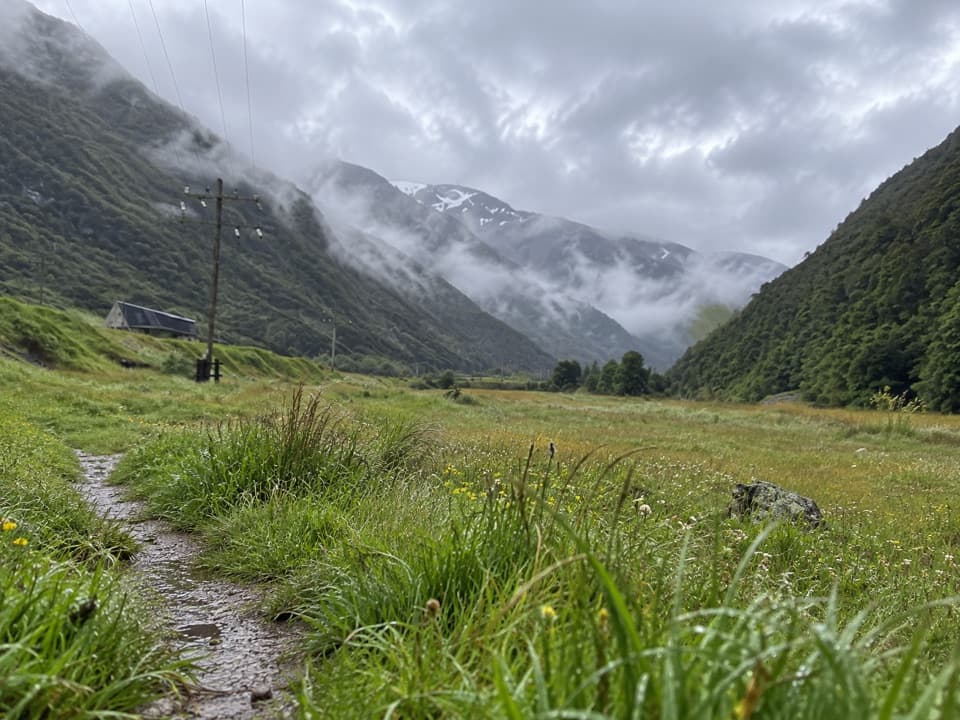
Easy river-flat walking with Rough Creek’s waterfalls across the valley.
Overview
Map & elevation
Plan your hike

The highest, rockiest slopes around here are a summer buffet for grizzly bears.
Arthur's Pass Tour Guide
Parkwolf is a GPS audio tour guide for Arthur's Pass National Park. As you drive, it chimes in with what’s ahead: hidden gems, upcoming stops, history, geology, and wildlife, right through your car’s speakers.
Recorded for this trailhead
Avalanche Creek Shelter Campsite“Ahead is Avalanche Creek Shelter Campsite, a compact camping area in the village. I'd choose it for easy access to village walks, but road traffic and freight trains can disturb the night.”
Plays as you drive up to this trailhead in the Parkwolf Arthur's Pass Tour Guide.
More stories near here in the app
“Fantastic app with many points of information… It’s great to just turn on while you’re driving and it gives you an audio tour of the national Park. We love it!!!!”


Trail guide
JC’s Track is an easy out-and-back across grassy flats beside the Bealey River, starting at Avalanche Creek campsite. The mapped path is about 0.55 miles each way, so the return is roughly 1.1 miles; allow about half an hour. No official mileage is posted, and the 10–15 minute estimate in a walk description doesn’t say whether it covers one way or the return. This is a pleasant leg-stretcher for the valley views, not a big hike.
From the campsite entrance, the track crosses an open glade between the river and railway embankment. It’s mostly grass with only a gentle rise and fall. Walk to the end of the signed path and return the same way. Morts Loop is a separate short woodland spur; it isn’t included in this mapped distance. The far end approaches the rail viaduct and tunnel area, but the Otira Tunnel portal and railway corridor are restricted. Don’t cross the tracks or ford the river to get closer.
The open flats give you a broad view toward Mt Bealey, Avalanche Peak and Rome Ridge. From near the river, look for the waterfalls and high cirques on Rough Creek. For a photo, keep a stretch of grassy path in the foreground and frame the mountains across the flats.
The flats once held workers’ baches associated with the Otira Tunnel. About thirty were still standing here in 1986; many had begun as accommodation during the tunnel’s long construction, which started in 1907 and ran into the 1920s. As occupation agreements ended, the land returned to public conservation management. That history adds a human layer to a short walk through an otherwise open valley.
Wildlife
 982 sightingsKeaMost seen around noonSighting map
 39 sightingsNew Zealand FalconMost seen around 5 PMSighting map
 190 sightingsBlue DuckMost seen around 5 PMSighting map
 20 sightingsKākāMost seen around 8 AMSighting map
 15 sightingsWekaMost seen around 7 AMSighting map
 15 sightingsParadise ShelduckMost seen around 6 PMSighting map
Sighting maps show where each species has been reported across Arthur's Pass. Wildlife moves, so no sighting is guaranteed.
Keep exploring
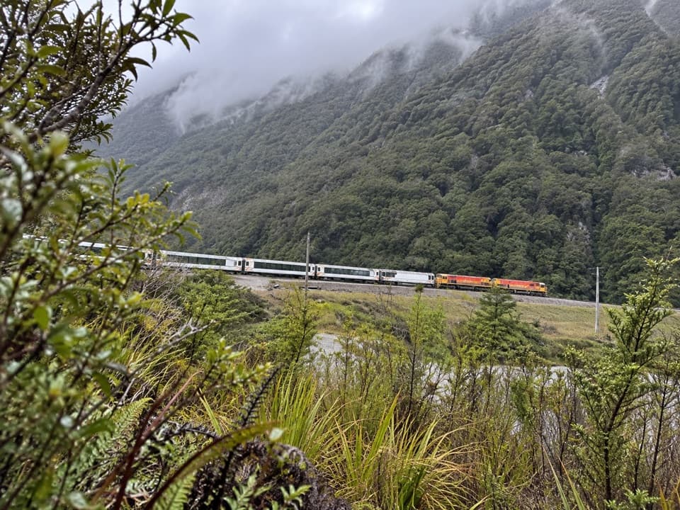 EasyMorts Loop0.8 km · 18 min · At the trailheadA short beech loop along the Bealey River flats.
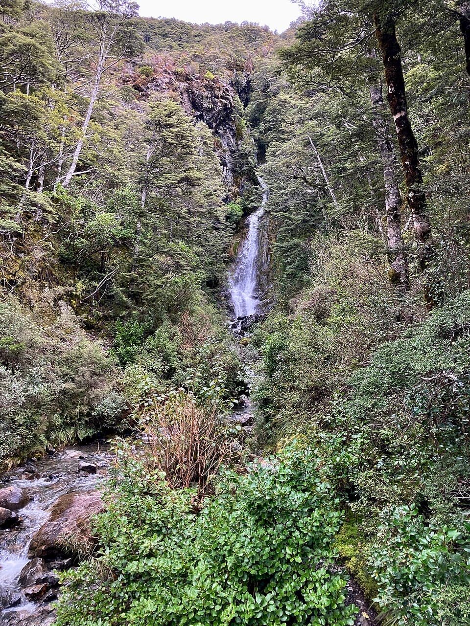 EasyMillennium Walk0.6 km · 12 min · 0.2 km awayA village waterfall loop with a bridge, steps, and a chapel view.
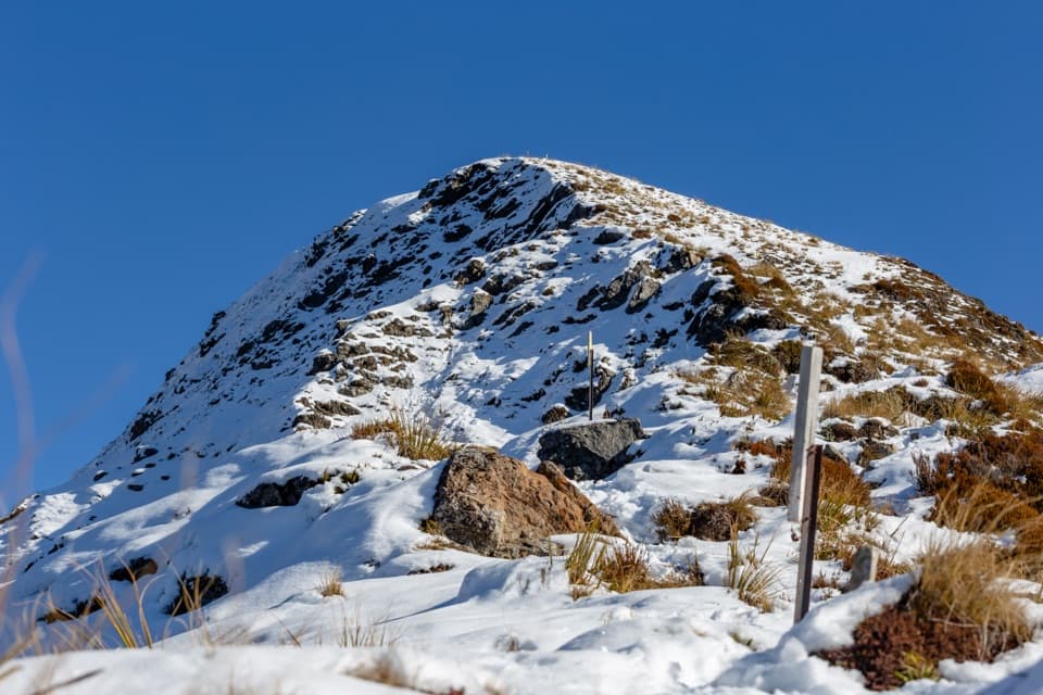 ChallengingAvalanche Peak – Crow River Route19.7 km · 10 hr · 0.2 km awayA summit ridge gives way to scree, hut and braided river flats.
 ChallengingAvalanche Peak Route6.8 km · 7 hr · 0.2 km awaySteep forest, a razor ridge, and the gentler Scotts descent.
 ModerateDevils Punchbowl Walking Track2 km · 1 hr · 0.7 km awaySteep stair climb through beech forest to a 131 m waterfall
 ModerateArthur’s Pass Walking Track6.8 km · 3.5 hr · 0.7 km awayBeech forest, alpine wetlands and a high-pass lookout
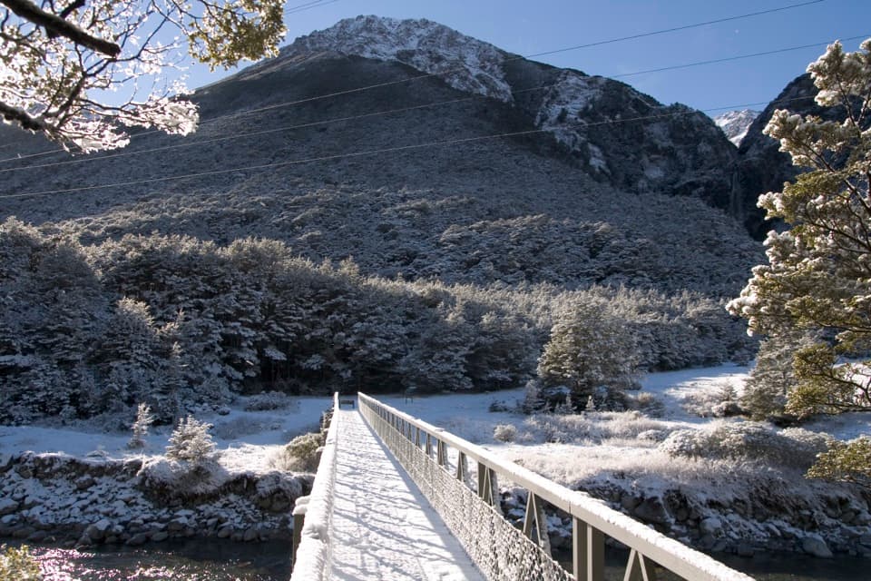 EasyBridal Veil Walk1.8 km · 40 min · 0.7 km awayA short forest walk to distant falls and open mountain views.
 ChallengingScotts Track to Avalanche Peak7.1 km · 7 hr · 0.9 km awayA steep, exposed climb from forest to a narrow alpine summit.
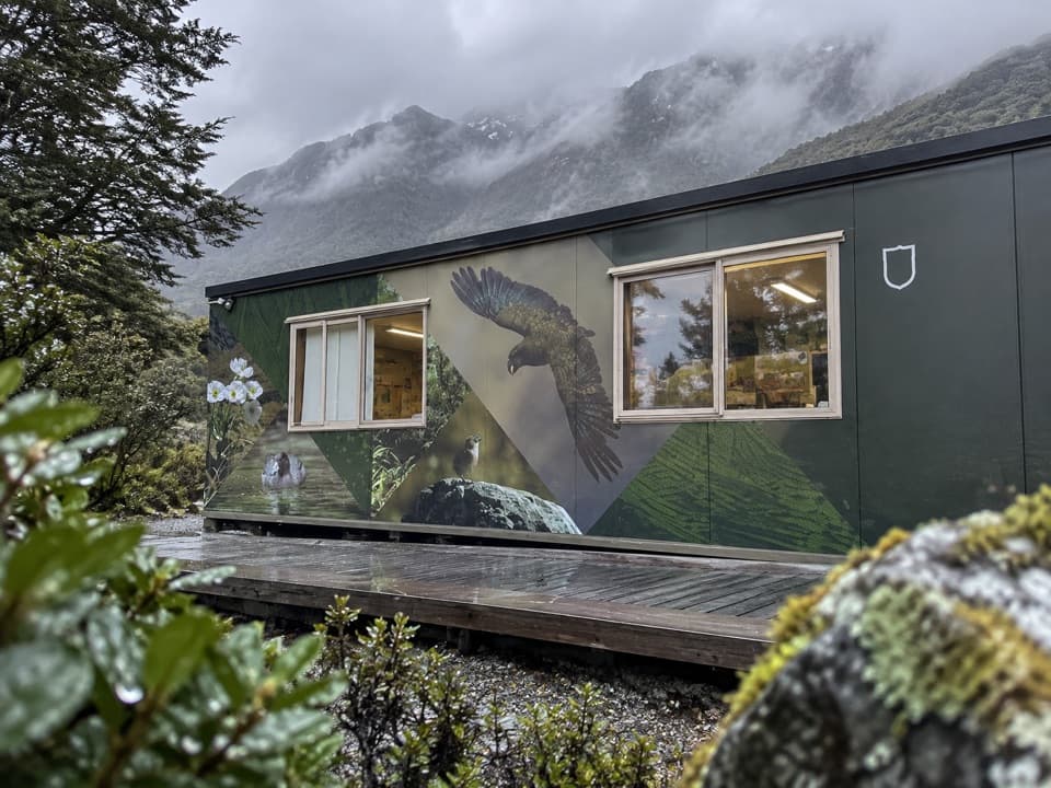 Visitor center · 0.1 km awayArthur’s Pass National Park Visitor CentreStart your mountain day with track and weather advice from the rangers.
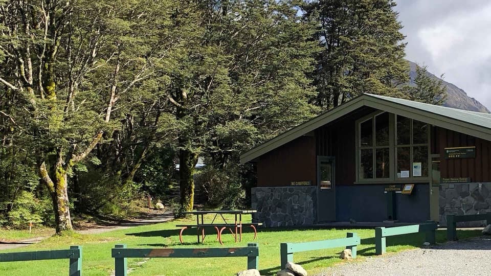 Campground · 0.1 km awayAvalanche Creek Shelter CampsiteA handy village base if you can live with freight trains.
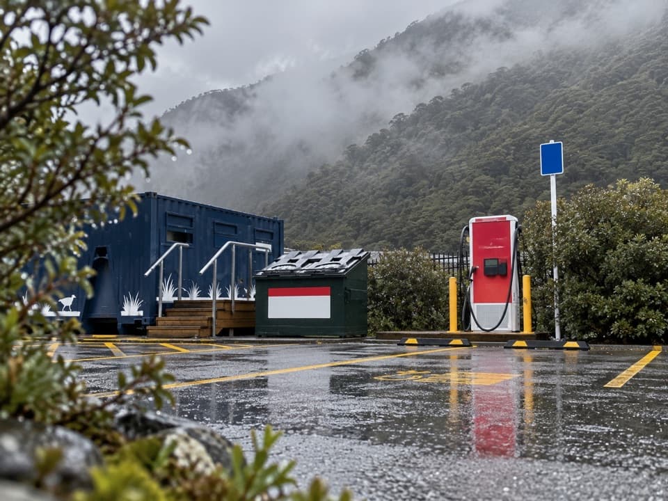 Gas station · 0.1 km awayArthur’s Pass EV Charging StationA useful top-up on the alpine crossing.
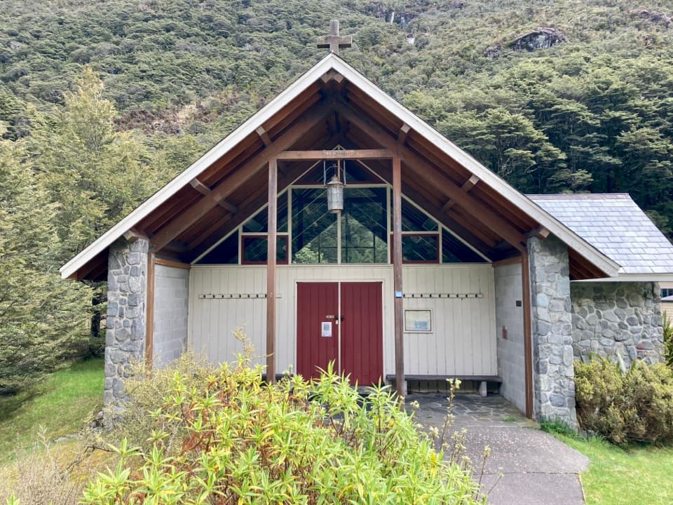 Sight · 0.2 km awayArthur’s Pass ChapelThe altar window frames a waterfall in this quiet village chapel.
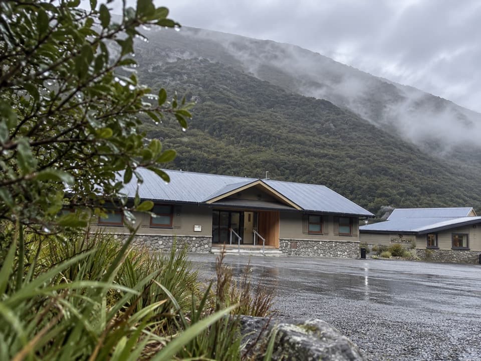 Lodging · 0.2 km awayArthur’s Pass Motel & LodgeA warm village base with lodge rooms and a shared kitchen.
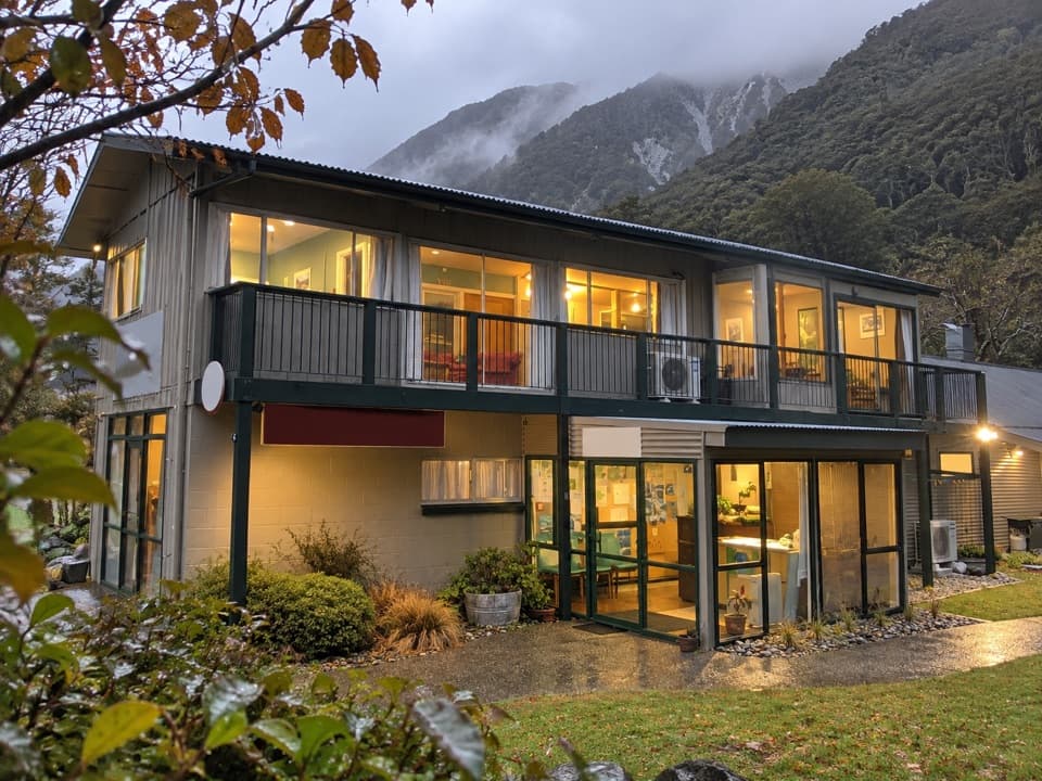 Lodging · 0.2 km awayMountain House BackpackersA central village base with a proper shared kitchen.
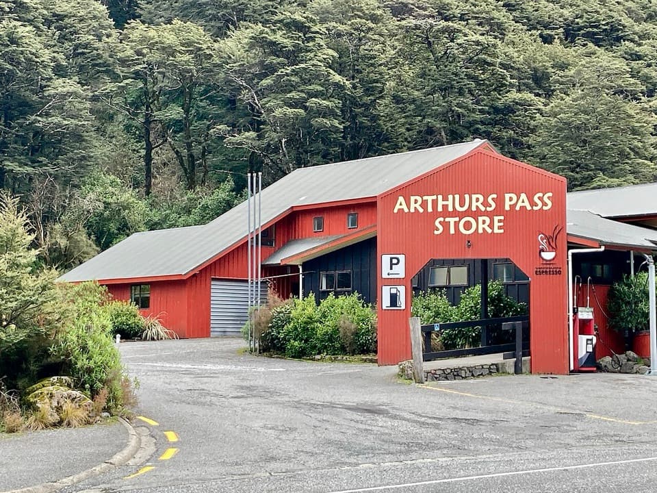 Restaurant · 0.3 km awayArthur’s Pass Café & StorePie, coffee, groceries and the only fuel for a long stretch.Sight · 0.3 km awayAvalanche Creek WaterfallQuick village stop; take the steep spur for a closer waterfall view.
Parkwolf’s Arthur's Pass ranking

The audio tour guide for the drive, plus offline maps, trails, and wildlife heatmaps for when the signal drops.

