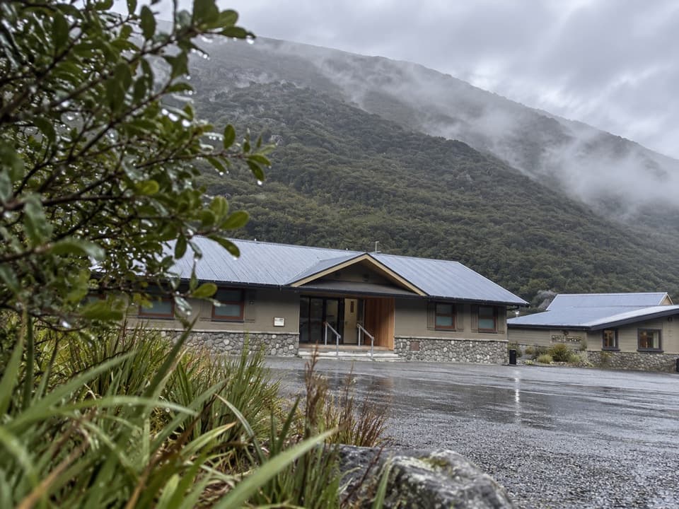
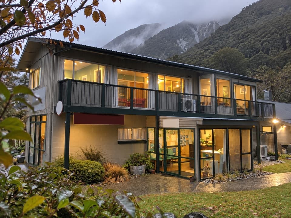
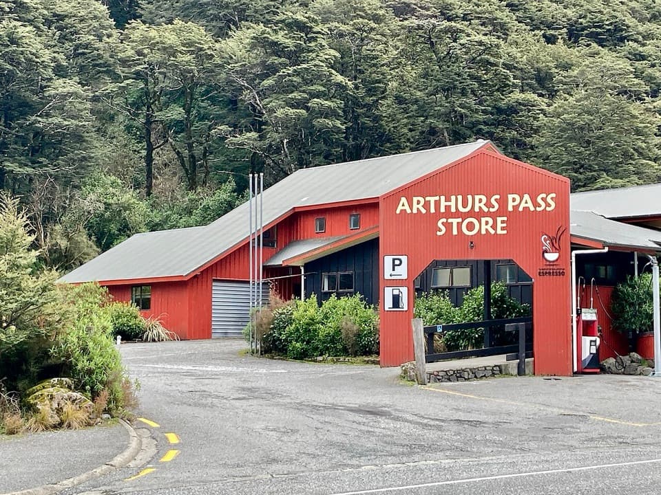
Morts Loop in Arthur's Pass National Park

Arthur's Pass National Park, CB · WC

Morts Loop

A short beech loop along the Bealey River flats.

Length
0.8km
Time
18min
Elevation
Flat
Difficulty
Easy
  • Loop
  • High point 741 m

Hear the audio tour

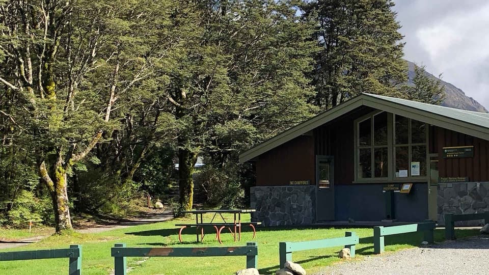
Avalanche Creek Shelter Campsite

Overview

About Morts Loop

Why go

  • A true loop with a riverside beech setting
  • Easy to fit into a short Arthur’s Pass stop

Heads up

  • The 0.5-mile route is reconstructed because no published Morts Loop mileage was found
  • The railway corridor is close to the flat walk

Map & elevation

The route

Loading the Arthur's Pass map
Full map
Elevation735–741 m
TrailheadAvalanche Creek campsite car park-42.94082, 171.56396
Keep this map with you offline in the Parkwolf app

Plan your hike

Before you go

Parking

Use the Avalanche Creek campsite car park by the toilets, then follow the campsite access toward JC’s Track. A local walk account identifies this as the established entrance to the river flats; current Morts Loop signage and parking arrangements were not independently confirmed.

Safety

The route sits between the Bealey River and the railway corridor. Use the campsite approach, keep to the walking path, and do not enter the rail corridor or use the village shortcut across the tracks.

2 active Arthur's Pass alerts

  • CautionFlood damage and rockfall risk on Harper Pass RouteFlood damage and an active slip affect the Harper Pass Route below Kiwi Hut and near Locke Stream Hut.Official details
  • CautionFlood damage on route to Sudden Valley BivvySignificant flood damage makes the route to Sudden Valley Bivvy passable only when rivers are low.Official details
Arthur's Pass alerts
A park ranger sits on a dash-mounted phone, talking, as Parkwolf’s Tour Guide plays “Army Cutworm Moths: A Grizzly Bear Buffet” on Grand Loop Road below Dunraven Pass in Yellowstone
Parkwolf Tour GuideThe highest, rockiest slopes around here are a summer buffet for grizzly bears.

Arthur's Pass Tour Guide

Your drive to Morts Loop, narrated.

Parkwolf is a GPS audio tour guide for Arthur's Pass National Park. As you drive, it chimes in with what’s ahead: hidden gems, upcoming stops, history, geology, and wildlife, right through your car’s speakers.

Recorded for this trailhead

Avalanche Creek Shelter Campsite
0:00 / 0:34
“Ahead is Avalanche Creek Shelter Campsite, a compact camping area in the village. I'd choose it for easy access to village walks, but road traffic and freight trains can disturb the night.”

Plays as you drive up to this trailhead in the Parkwolf Arthur's Pass Tour Guide.

More stories near here in the app

  • Arthur's Pass Visitor Centre
  • Avalanche Peak from the Village
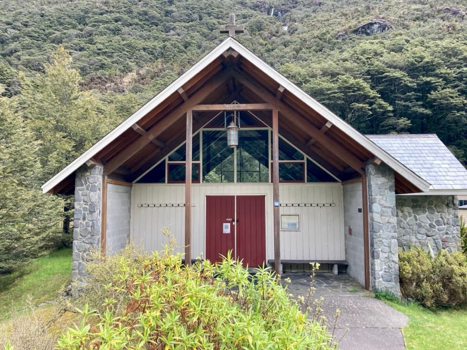
  • Arthur's Pass Chapel and Avalanche Creek
  • Arthur's Pass Café and Store
  • 42 audio storiesacross Arthur's Pass’s roads, triggered by GPS as you drive
  • Wildlife heatmapsfor Kea, New Zealand Falcon, Blue Duck, and 13 more
  • Works offlinemaps, 49 trails, 59 places, and audio download before you lose signal
  • CarPlay readysimple controls built for the drive
★★★★★
“Fantastic app with many points of information… It’s great to just turn on while you’re driving and it gives you an audio tour of the national Park. We love it!!!!”
JMJamesApp Store review
Download Parkwolf on the App StoreGet Parkwolf on Google Play

4.7 from 8,600+ ratings

Trail guide

Hiking Morts Loop

A short riverside loopMorts Loop is a compact circuit on the Bealey River flats, reached by a short connector from…

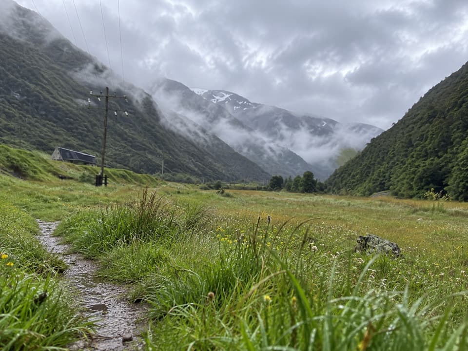
Morts Loop is a compact circuit on the Bealey River flats, reached by a short connector from the Avalanche Creek campsite access to JC’s Track. The mapped walk is about 0.5 mile (0.8 km) total, including that connector; allow 15 to 20 minutes. The route stays low and nearly flat, with the riverside path returning to JC’s Track. It suits a quick leg-stretch, not a climb or a big viewpoint hike.

Beech and river flatsThe loop passes the small beech stand beside the Bealey River.

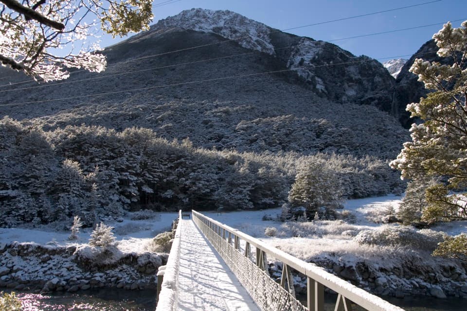
The loop passes the small beech stand beside the Bealey River. You’re on the open flats between the river and the railway corridor, so this is a close-up look at the valley floor rather than the elevated views found on longer Arthur’s Pass walks. JC’s Track continues beyond the loop if you want a longer riverside walk; that larger route is separate from the distance mapped here.

Access and route limitsUse the Avalanche Creek campsite access to reach JC’s Track.

Use the Avalanche Creek campsite access to reach JC’s Track. The local route description identifies this as the established entrance and places Morts Loop on the riverside path, but it gives no mileage, coordinates, or current track notice. The mapped circuit follows the clearest short path that joins JC’s Track at both ends; treat the 0.5-mile distance as an estimate, and check locally if the route is not obvious. The village shortcut described for the wider flats crosses railway lines, so use the campsite approach instead. Stay on the walking paths beside the river and rail corridor.

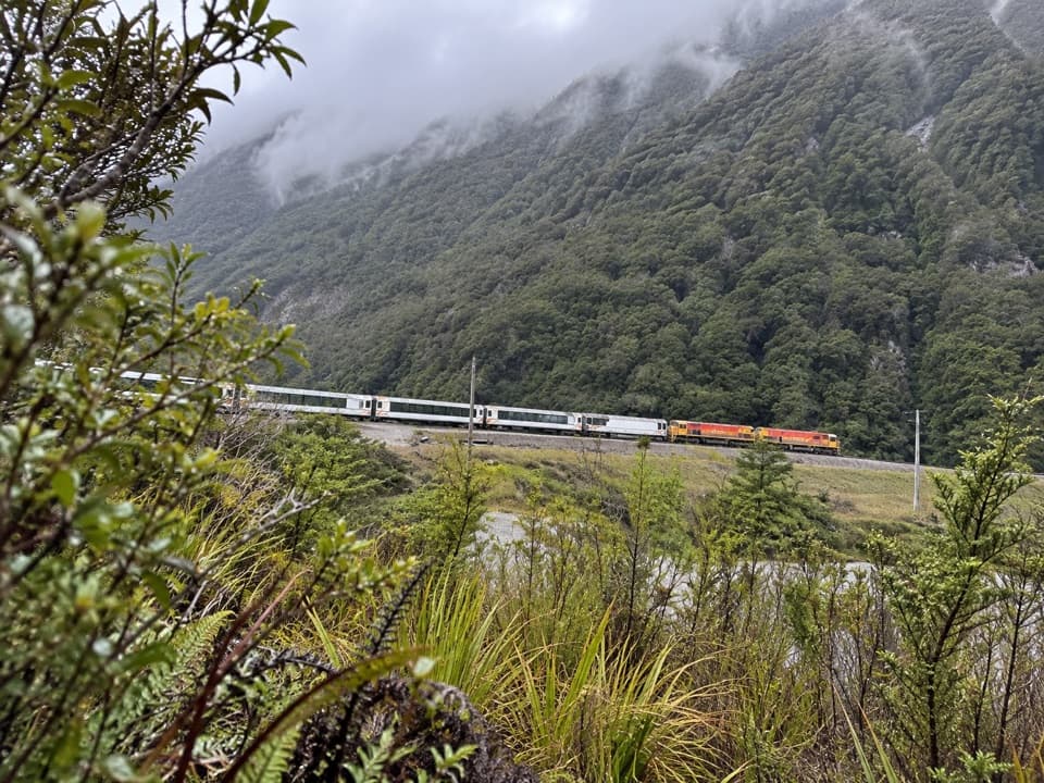
Wildlife

Wildlife in Arthur's Pass

All Arthur's Pass wildlife maps

Sighting maps show where each species has been reported across Arthur's Pass. Wildlife moves, so no sighting is guaranteed.

Keep exploring

Near Morts Loop

See it all on the map

Trails that start nearby

Places near the trailhead

Parkwolf’s Arthur's Pass ranking

Top-rated trails in Arthur's Pass

All 49 trails
  1. 1Devils Punchbowl Walking TrackModerate · 2 km
  2. 2Avalanche Peak RouteChallenging · 6.8 km
  3. 3Bealey Spur TrackModerate · 12 km
  4. 4Arthur’s Pass Walking TrackModerate · 6.8 km
  5. 5Otira Valley TrackModerate · 3.4 km
  6. 6Scotts Track to Avalanche PeakChallenging · 7.1 km

Take Parkwolf to Arthur's Pass.

The audio tour guide for the drive, plus offline maps, trails, and wildlife heatmaps for when the signal drops.

4.7 from 8,600+ ratings

Download Parkwolf on the App StoreGet Parkwolf on Google Play