
Place · 1.4 mi away
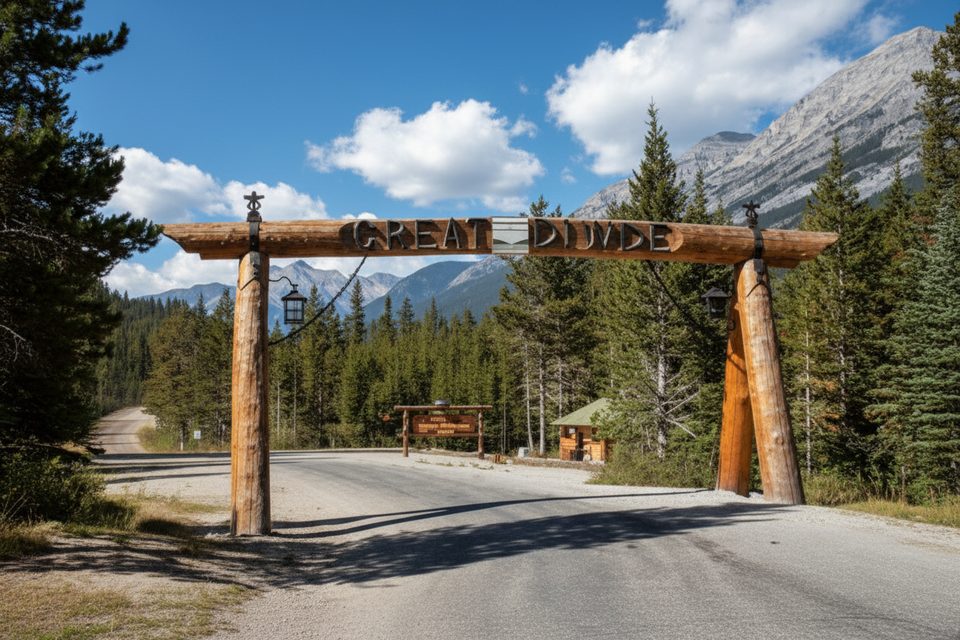
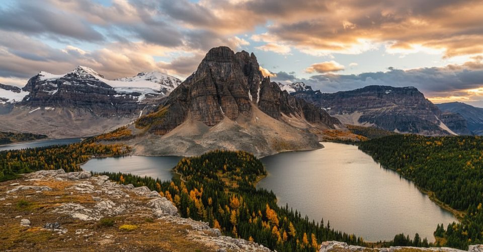
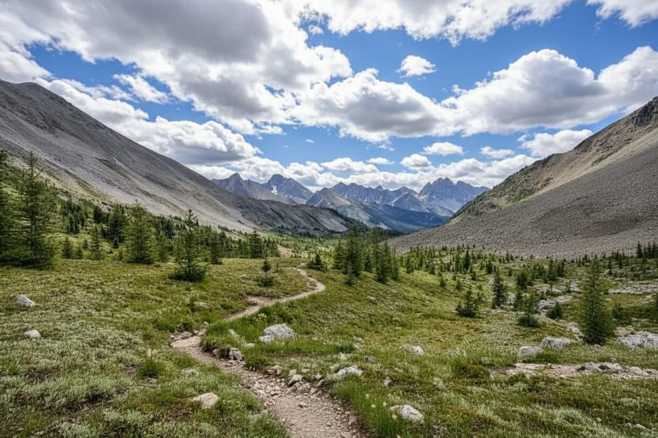
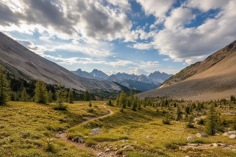
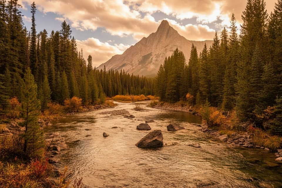
Tucked high on the Continental Divide, the BC Alberta Border Marker is a simple but satisfying waypoint where you can literally straddle two provinces. It sits along the Wonder Pass/Marvel Lake/Assiniboine Pass trail corridor, surrounded by subalpine meadows and serrated peaks. This is a backcountry objective—no roads, no services—best suited to hikers who like earning their views.
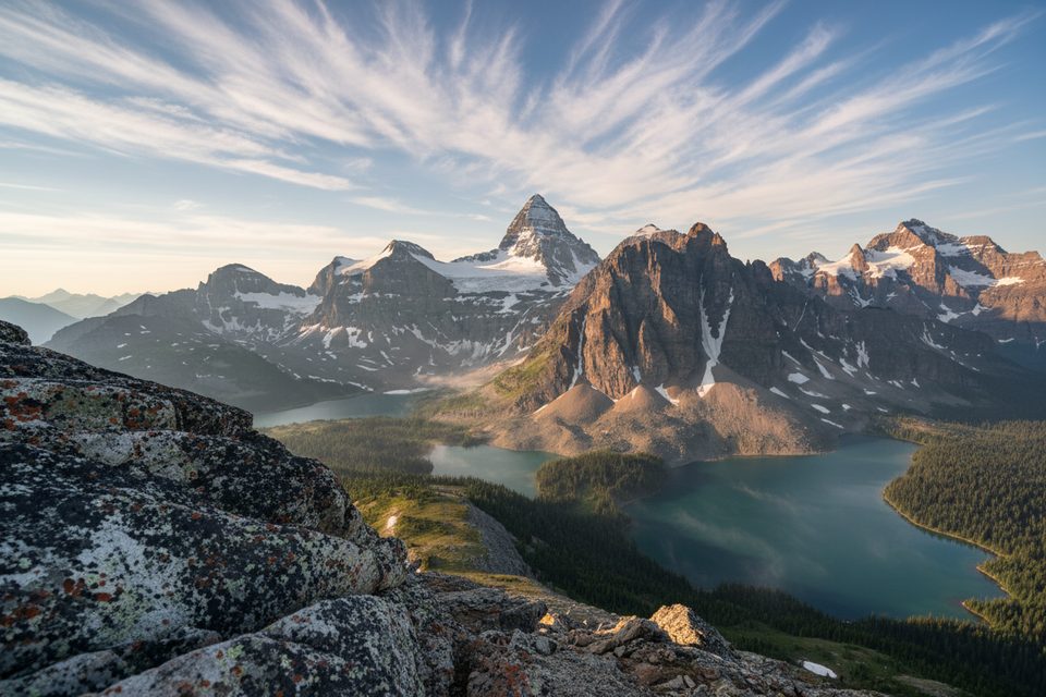
It’s the combination of symbolism and scenery: a clean line between watersheds and provinces, plus big alpine panoramas. Expect a straightforward marker (think post or cairn style) and classic Divide vistas. On clear days you’ll catch broad views toward nearby peaks and valleys that feel far removed from the crowds.
Reaching the marker requires a demanding hike on established backcountry trails. Expect a long day or include it on a multi-day trek between Bryant Creek, Marvel Lake, and Lake Magog. Trail conditions can swing from dry to muddy or snow-covered, and navigation at junctions deserves attention—bring a map or GPS and know your route.
This high-country corridor hosts mountain goats and bighorn sheep on rocky slopes, marmots and pikas in the talus, and raptors like golden eagles overhead. Both grizzly and black bears roam the area, especially in berry season—carry bear spray, make noise, and give wildlife space.
Weather turns fast here: even in summer, expect sudden wind, cold, or storms. Mosquitoes and blackflies can be persistent when the snow melts. Snow patches may linger into the warmer months, so check recent reports before committing.
Late summer into early fall typically offers the most reliable footing and the widest views. Aim for a clear morning or late-afternoon light for photos; weekdays see the fewest hikers. Shoulder seasons can be beautiful but come with snow and route-finding challenges.
Sturdy boots, layers for alpine weather, bear spray, plenty of water (and a way to treat natural sources), high-energy food, and solid navigation. A camera is a must—this is a small landmark in a big landscape.
If you’re already tackling Wonder Pass or linking Marvel Lake and Assiniboine country, this marker is a satisfying, scenic milestone. It’s not a destination for casual sightseers, but for committed hikers it’s a memorable line in the mountains.
Place · 1.4 mi away
Place · 1.9 mi away
Place · 2.7 mi away
Place · 2.9 mi away
Challenging · 9.7 mi away
Challenging · 9.7 mi away
Challenging · 9.7 mi away
Moderate · 9.7 mi away

Parkwolf Tour Guide
