Parking
Use the Mount Shark Trailhead lot, about 7 km beyond the Shark Mountain turnoff on the Spray Lakes and Smith-Dorrien route. Check road access and current Kananaskis vehicle-pass requirements before departure.
Banff National Park, AB
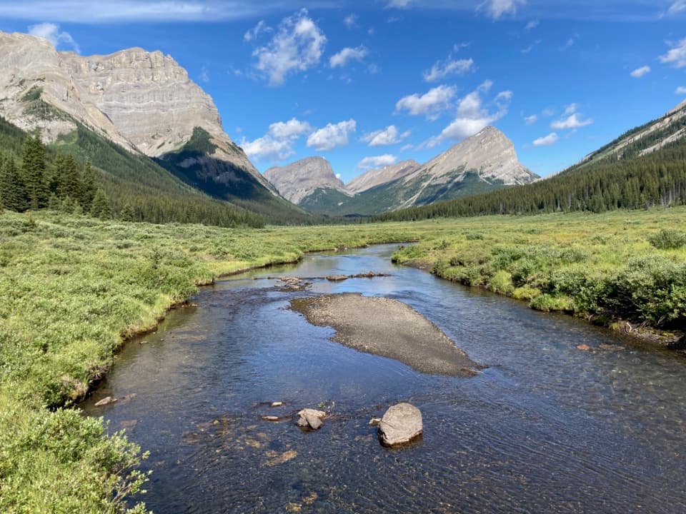
A long backcountry approach climbs from Mount Shark to Assiniboine Pass.
Overview
Map & elevation
Plan your hike

The highest, rockiest slopes around here are a summer buffet for grizzly bears.
Banff Tour Guide
Parkwolf is a GPS audio tour guide for Banff National Park. As you drive, it chimes in with what’s ahead: hidden gems, upcoming stops, history, geology, and wildlife, right through your car’s speakers.
See the Banff audio tour“…Loved the commentary as you drove thru. I’m sure the app can do more than I know but the tips were very helpful. I’m gonna use it when we go to Banff next month.”


Trail guide
The Mount Shark approach to Assiniboine Pass is a one-way, 21.8 km (13.6 mi) point-to-point backcountry route. It follows the Watridge Lake and Bryant Creek corridors, then climbs to the high pass at the Alberta–British Columbia boundary. Allow about six to eight hours. This route ends at the pass crest; Lake Magog is roughly 4 km farther and is not included. Returning to Mount Shark along the same trail makes the walk about 43.6 km.
The first six kilometres are broad, mostly gentle and roadlike. The Watridge Lake junction comes near 3.7 km, followed by a descent and two bridge crossings: Upper Spray River at about 5.9 km and Bryant Creek near 6.6 km. Beyond Bryant Creek, the route follows a quieter, mostly forested corridor beside the creek. Expect the scenery to feel enclosed for several kilometres rather than alpine from the start.
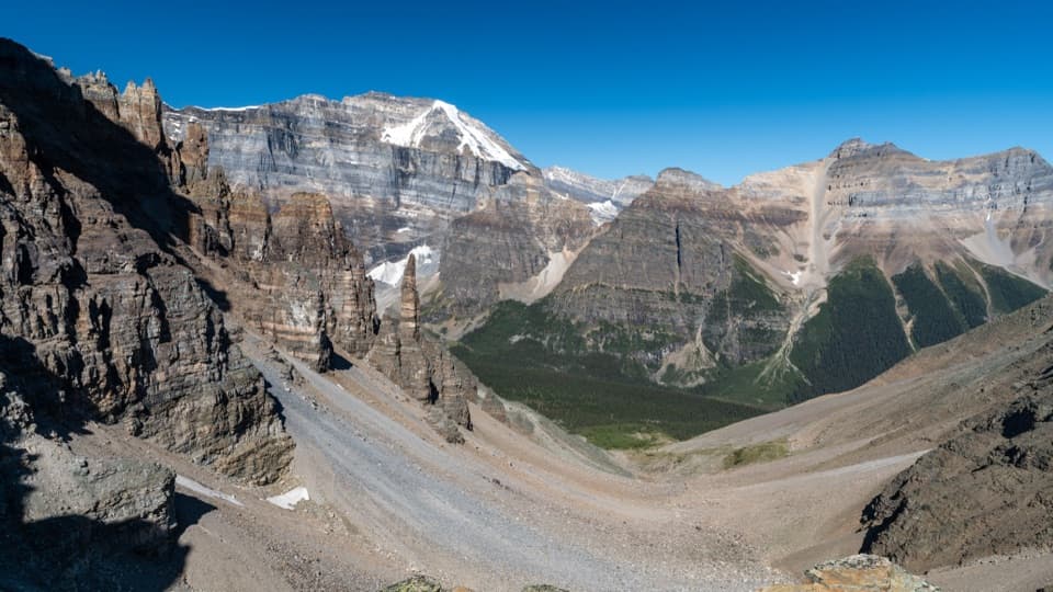
Around McBride’s campground and the warden cabin, roughly 13–14 km in, trees give way to open meadow and views toward Mount Cautley. The Wonder Pass branch is nearby but is a different route. Farther on, the high hiking route separates from the lower horse trail. Stay on the signed hiking line: the final climb is steep and open, and an old horse track can lead toward Og Meadows. The pass is the endpoint for this entry; continuing to Magog Lake adds about 4 km.
Snow can linger on high trails into late June, and streams are commonly highest in June and July. The upper pass is exposed to fast-changing mountain weather. Carry bear spray where it is accessible, travel with a group, and check current conditions and route restrictions before committing to this remote crossing.
Wildlife
 123 sightingsGrizzly BearMost seen around 6 AMSighting map
 150 sightingsBrown BearMost seen around 6 PMSighting map
 44 sightingsGray WolfMost seen around 6 AMSighting map
 12 sightingsRiver OtterMost seen around 8 PMSighting map
 69 sightingsMooseMost seen around 8 PMSighting map
 466 sightingsBlack BearMost seen around 9 PMSighting map
Sighting maps show where each species has been reported across Banff. Wildlife moves, so no sighting is guaranteed.
Keep exploring
 ModerateMarvel Lake Campground Trail25.7 km · 7 hr · At the trailheadA long Bryant Creek walk to Marvel Lake’s backcountry camp.
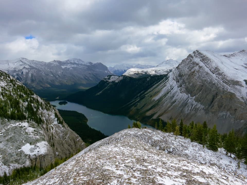 ChallengingWonder Pass Trail26.5 km · 8 hr · 0.1 km awayA long one-way alpine approach over Wonder Pass to Lake Magog
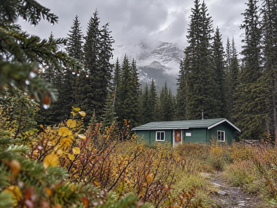 ModerateBryant Creek Trail26.7 km · 9 hr · 0.1 km awayA long, signed valley walk toward the Assiniboine high country.
 ModerateBurstall Pass Trail14.8 km · 6 hr · 9.3 km awayWet stream crossings lead to a steep climb and broad alpine views.
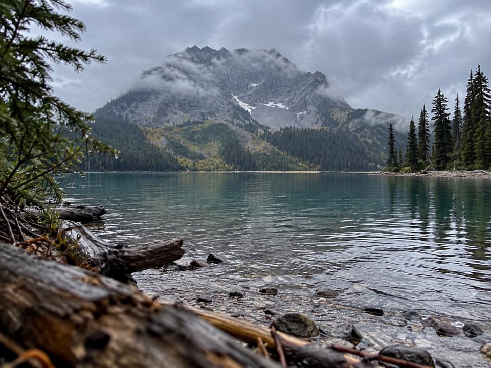 ModerateLeman Lake Trail4.9 km · 2 hr · 11.1 km awayA backcountry spur toward Leman Lake, reached over Burstall Pass.
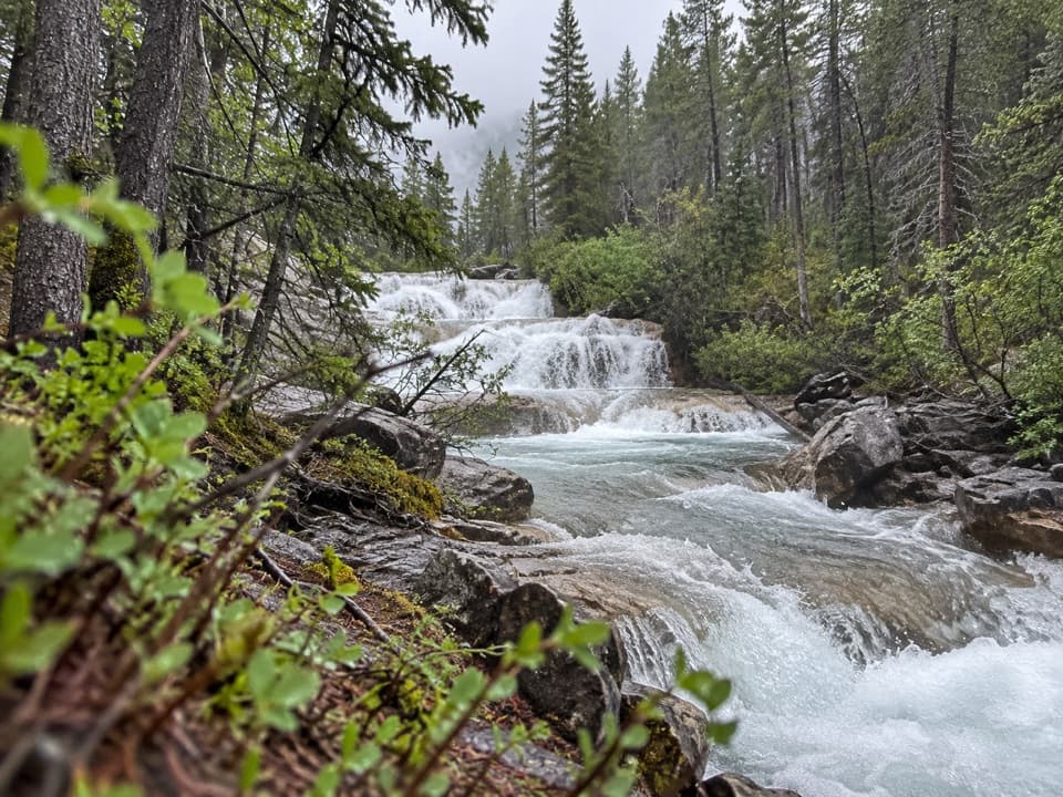 ChallengingAurora Creek-Marvel Pass Trail16.8 km · 8 hr · 20 km awayA long creek walk climbs to alpine meadows below Marvel Pass.
Parkwolf’s Banff ranking

The audio tour guide for the drive, plus offline maps, trails, and wildlife heatmaps for when the signal drops.