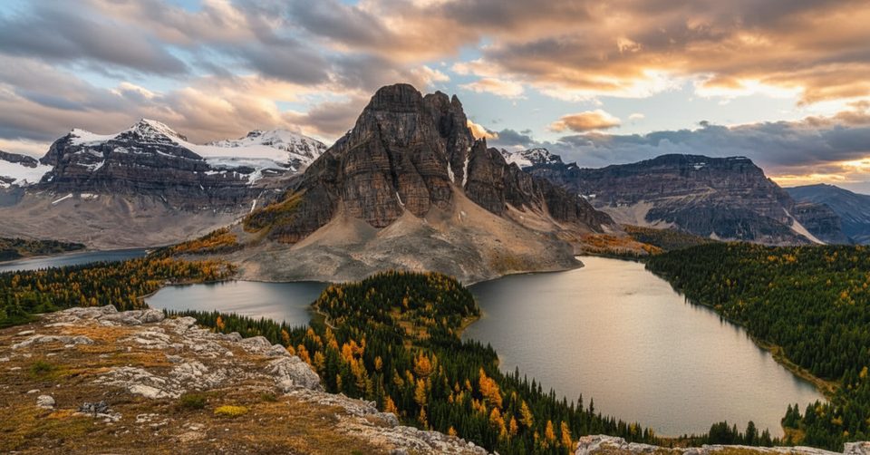
Mount Assiniboine

Iconic Matterhorn lookalike in a remote alpine wilderness
Mount Assiniboine, Banff National Park
InsideBanff National Park

Overview

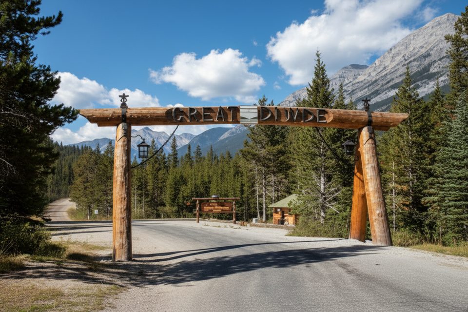
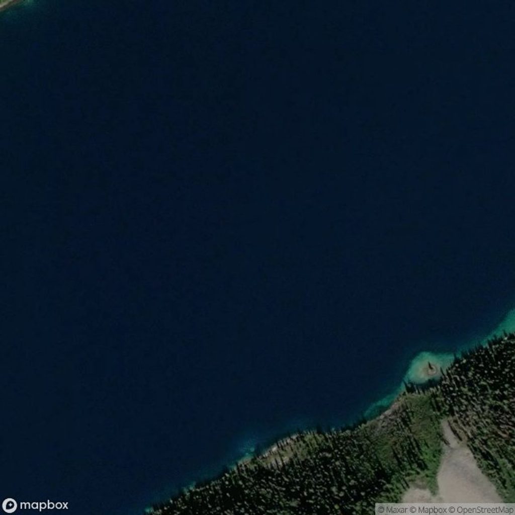
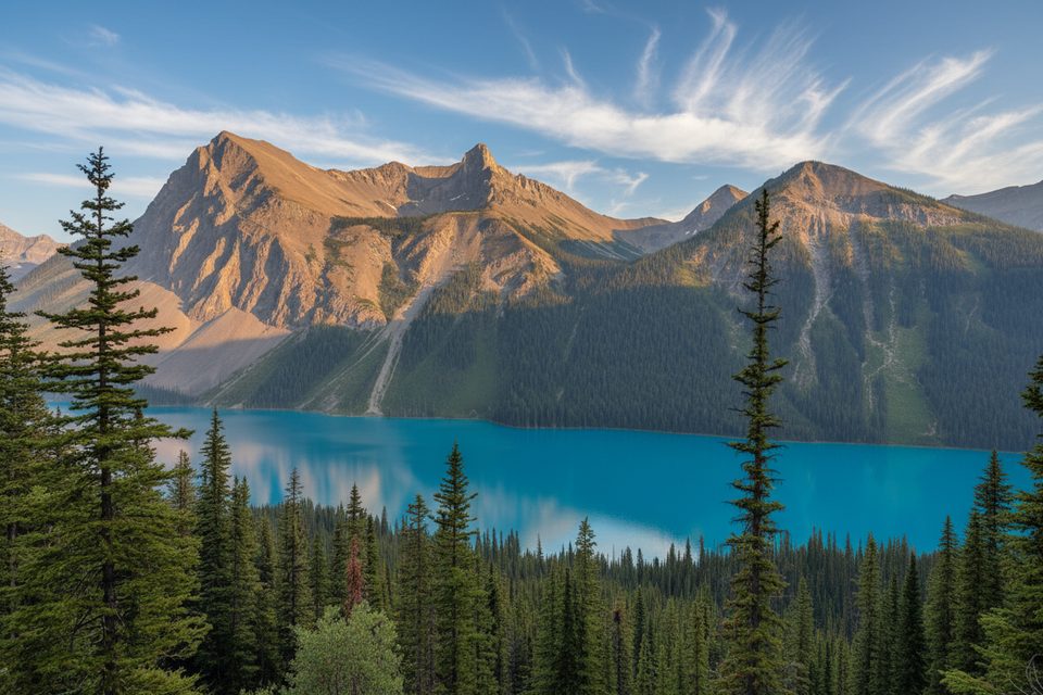
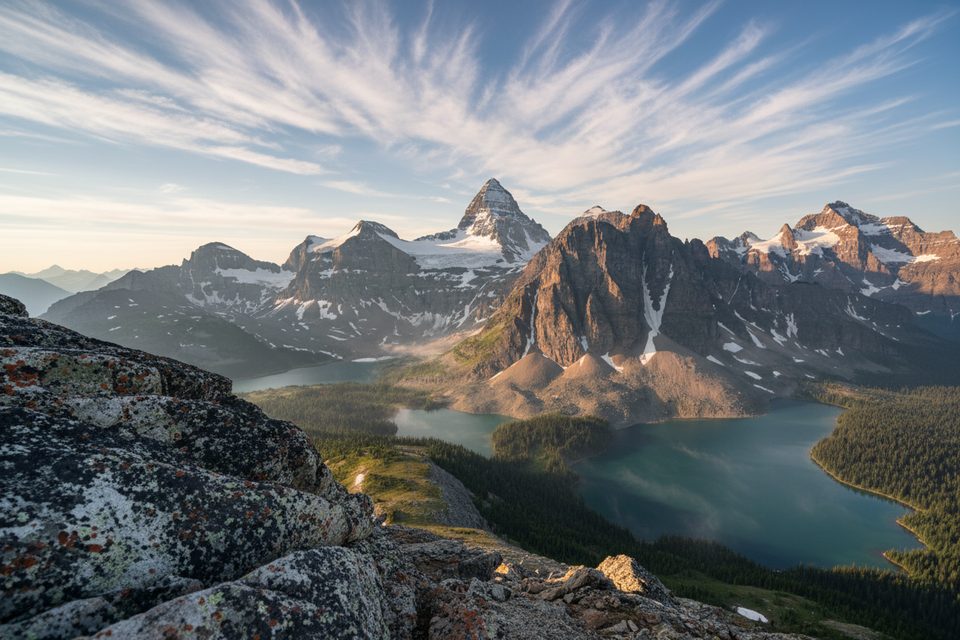
Straddling the Continental Divide on the Banff–BC border, Mount Assiniboine (3,618 m) is the highest peak in the Southern Continental Ranges and the Rockies’ best Matterhorn lookalike. It towers above Lake Magog and a constellation of turquoise lakes and meadows—utterly wild, utterly worth the effort.

What makes it special

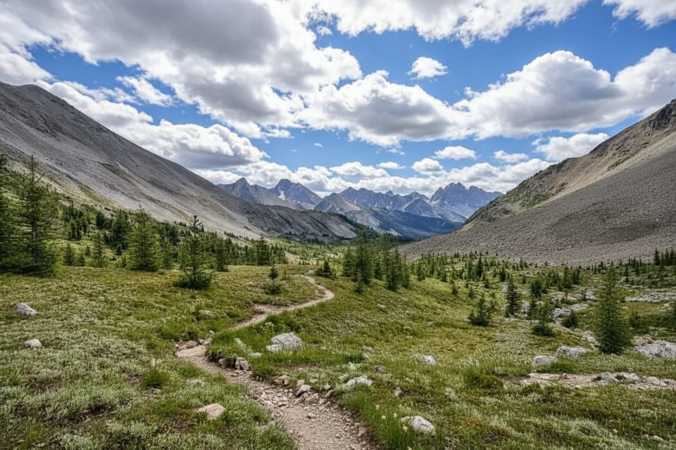
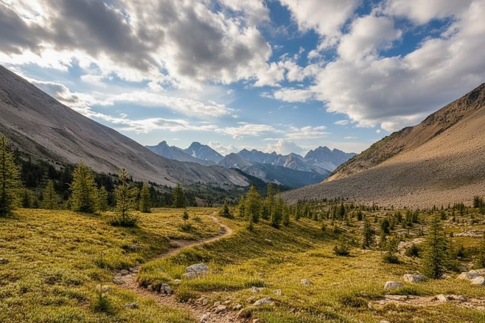
The mountain’s perfect pyramid rises more than 1,500 m above the surrounding basins, delivering constant big-mountain scenery once you’re in the core area: wildflower meadows in summer, glowing golden larches in late September, and wide-open ridges with nonstop views. Sunrises and sunsets can be sublime when the peak catches alpenglow.

Getting there (and why it’s an adventure)

There are no roads. Most hikers reach the area by multi-day approaches:

  • From Mount Shark via Bryant Creek and Assiniboine or Wonder Pass: roughly 24–27.5 km one way.
  • From Sunshine Village in Banff (via Citadel Pass): longer but more scenic; many budget two days to reach the core.

Helicopter access (to the lodge area) is an option for those booking well ahead and willing to trade legwork for logistics.

Wildlife

You’re in prime Rockies habitat: grizzly and black bears, deer, mountain goats, bighorn sheep, marmots, and pikas are all possible. Birds of prey patrol the ridgelines. Carry bear spray and respect any seasonal closures for bear activity.

Logistics and on-the-ground reality

  • No amenities at the mountain itself or on the Banff side of the divide. The lodge, huts, and main campground are in BC’s Mount Assiniboine Provincial Park near Lake Magog.
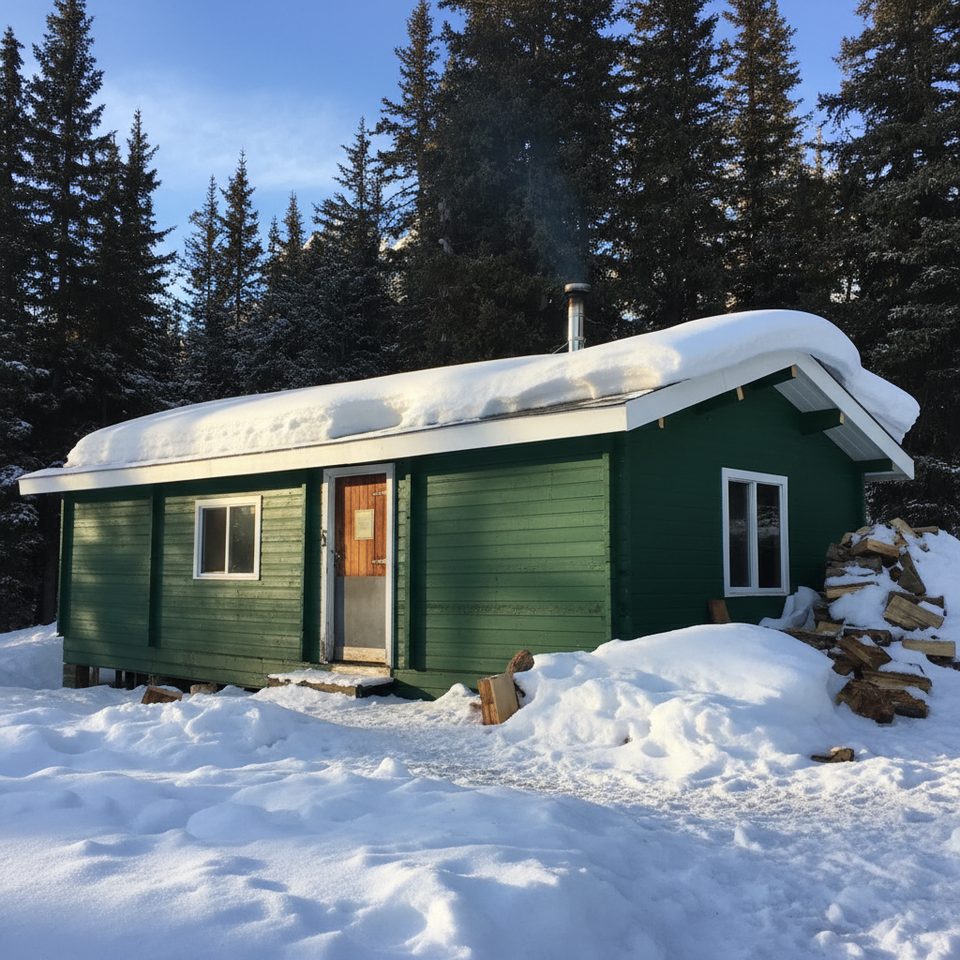
  • Campgrounds and rustic huts exist in the core, but space is limited and popular—plan early. Many approach camps en route also require permits.
  • Lodge guests get meals and indoor facilities; independent hikers must pack in all food and filter water from streams and lakes.

Conditions to expect

Weather turns quickly here—snow can fall any month. Summer bugs can be pesky. Trails may see temporary closures late season for grizzly activity. The Mount Shark approach is efficient but less scenic; Sunshine’s route is prettier but longer.

Best time to visit

  • July–September for the most reliable hiking conditions.
  • Late September to early October for peak larch color.
  • Aim for midweek to thin out crowds brought by the area’s growing popularity. For photos, plan sunrise or sunset when the peak lights up.

A note on history and geology

Named in 1885 after a smoke-like cloud resembled Assiniboine teepee fires, the peak saw its first recorded ascent in 1901. Its striking pyramid was chiselled by glacial erosion through layered sedimentary rock, giving it that classic, spire-like profile.

Bottom line

If you’re up for a true backcountry effort, this is among the most rewarding landscapes in the Rockies—remote, dramatic, and unforgettable once you’re there.

Pros

  • Iconic Matterhorn-like pyramid with sweeping alpine views
  • Remote backcountry setting; helicopter access can shorten the approach

Cons

  • Long approaches (about 24–30 km one way) and competitive permits
  • Unpredictable alpine weather; bugs in summer; occasional grizzly-related closures

Tips

  • Best windows are July–September; larches peak late September to early October.
  • From Banff, the Sunshine Village route is longer but more scenic; budget two days in.
  • Carry bear spray and check for seasonal grizzly closures before you commit.
  • Permits and spots are limited—book early or consider a helicopter in to the core.
  • Pack for fast-changing weather; snow is possible any month.
The Parkwolf tour guide sitting on a phone mounted in a car

Parkwolf Tour Guide

Like a tour guide in your car.

Save the places you found around Banff, then let Parkwolf guide the drive between them.Download Parkwolf on the App Store