Pros & cons
PROS
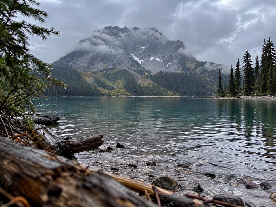
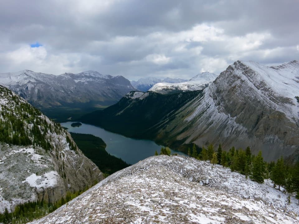
- Jaw‑dropping perch above Marvel Lake en route to the pass
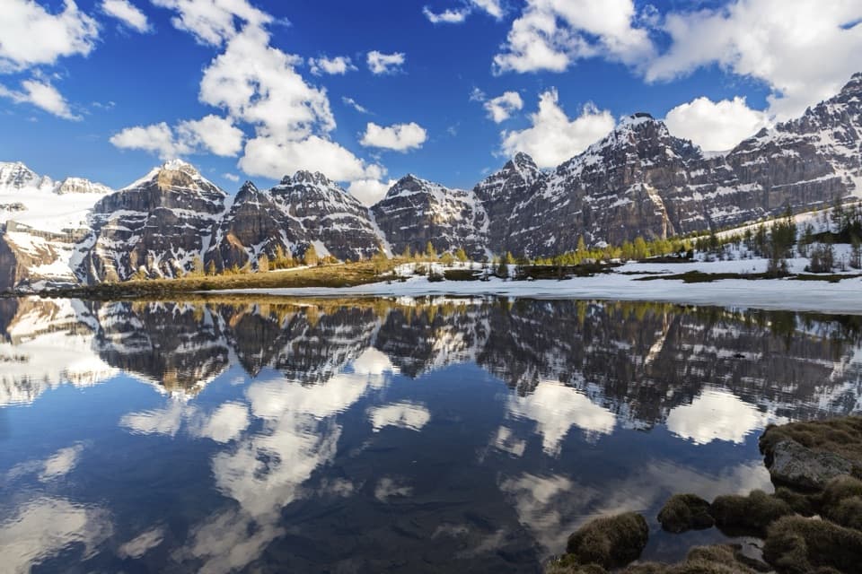
- Golden larch show in September right along the trail
CONS
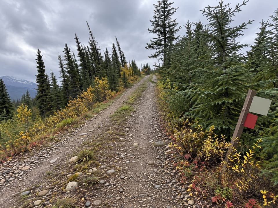
- Long, tedious logging‑road approach near the trailhead
- Steep, sustained climb and descent at the pass with a heavy pack
Park at the Mount Shark Trailhead off Spray Lakes Road (742); follow signs for the Bryant Creek approach.
Remote alpine pass with changing weather, avalanche paths, and bears—carry bear spray and extra layers. Early fall snow is possible. Dogs are leashed in Banff but rules differ across the boundary near Lake Magog; check restrictions before bringing pets.
If you want the showpiece views above Marvel Lake and a direct line into the Mount Assiniboine country, this is the way in. Starting at the Mount Shark Trailhead, the Wonder Pass route works up the Bryant Creek corridor before climbing hard to Wonder Pass and dropping toward Lake Magog. It’s a serious backcountry day for the ultra‑fit or, more commonly, a rewarding 1–2 day backpack for those who like their scenery earned.
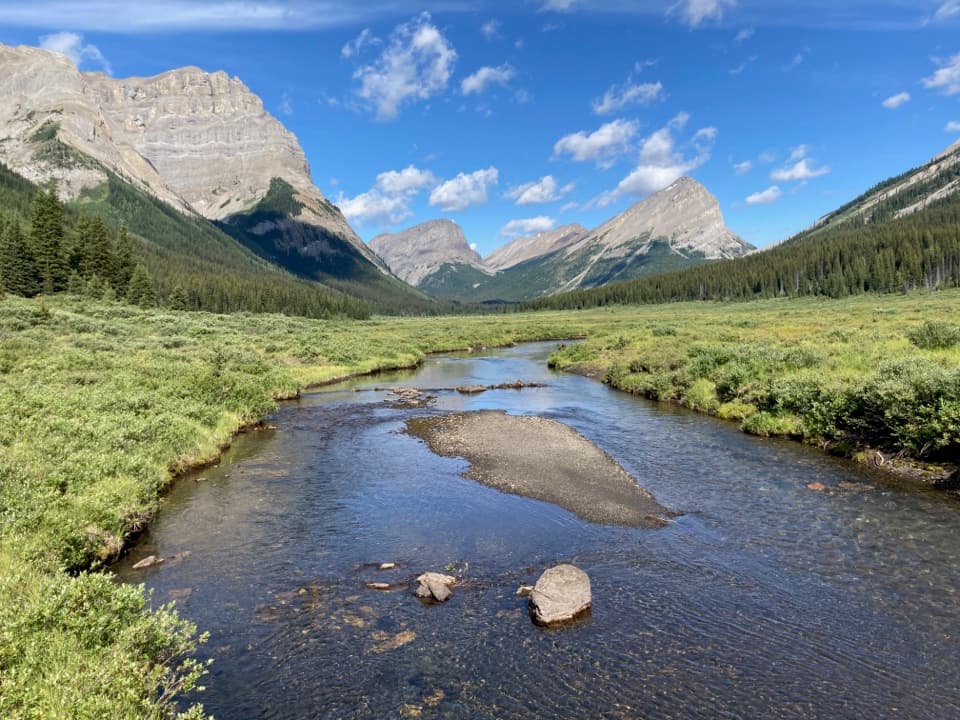
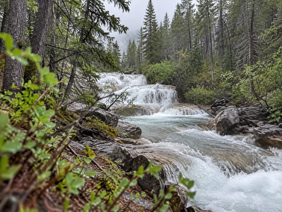
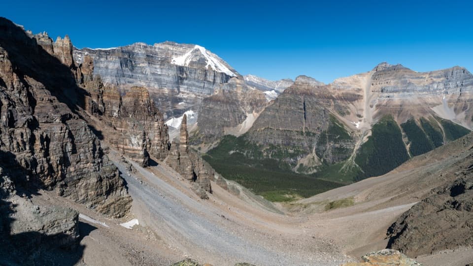
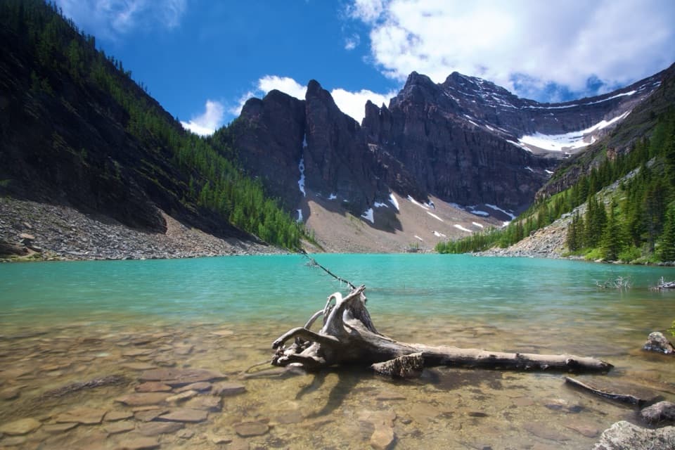
Plan on roughly 16.5 miles (about 26.5 km) one way from Mount Shark to Lake Magog via Wonder Pass. The bookends aren’t glamorous: you begin and end on wide, sometimes dull old logging roads and forest tracks. But the middle act is the reason you’re here—larch forests, wildflower meadows, and a dramatic traverse high above the deep blue of Marvel Lake. The climb to the pass is steep and sustained; near the top, a short side path leads to an even better perch over the lake and distant peaks.
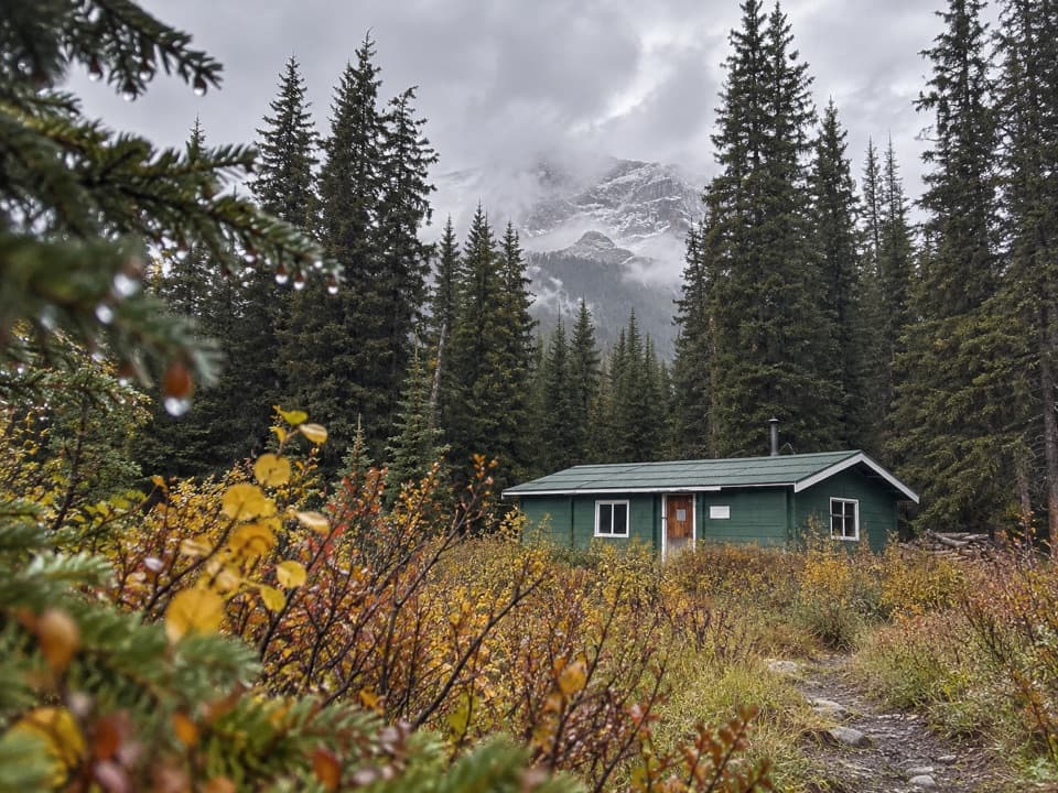
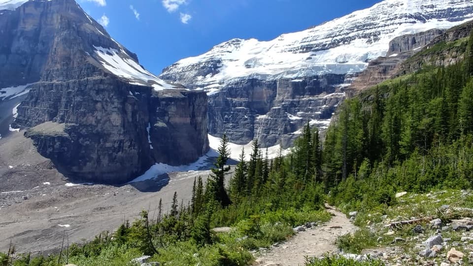
From the pass, the trail rolls through airy meadows toward Gog Lake and the historic Naiset Huts area, with Mount Assiniboine’s unmistakable profile popping into view. Keep your eyes out for birdlife around Gog Lake (great blue herons have been spotted at this surprising altitude). The broader landscape is classic Canadian Rockies—glaciated valleys and uplifted sedimentary peaks framing the whole experience.
This route is remote and rugged in places, crossing avalanche paths and high country where weather turns on a dime. Mid‑July to late September is the sweet spot: snow is less likely to block the pass, wildflowers peak in summer, and the larches put on a golden show in fall. Do note that early September can still deliver sudden snow.
Logistics matter here. Most backpackers link this route with Assiniboine Pass for a loop; a smart play is to ascend via Assiniboine Pass (gentler) and descend via Wonder Pass for the views. Backcountry camping and huts require advance reservations and permits—especially along Bryant Creek and at Lake Magog/Naiset Huts. Carry bear spray, travel in a group if you can, and bring a good map or offline nav app. Expect limited frills and plenty of payoff.
Bottom line: the approach has some grind, but the Wonder Pass section itself is elite—one of the most scenic corridors to Mount Assiniboine you can hike.
Elevation
16.5 mi · 9 hrWhere it starts
50.8600, -115.3788Wildlife on this trail
Near Wonder Pass Trail
All places →All trails →
0 mi awayAssiniboine Pass TrailClassic gateway to Assiniboine with big views after a long valley.Challenging · 15.5 mi · 8 hr
0 mi awayMarvel Pass TrailRemote larches-and-lakes pass with big Rockies views and solitudeChallenging · 9 mi · 6.5 hr
0 mi awayBryant Creek TrailLong, steady valley walk to shelter, camps, and Assiniboine gatewaysModerate · 16.6 mi · 7.2 hr
5.8 mi awayBurstall PassGolden larch views and big-mountain vistas at a border passScenic Viewpoint
5.8 mi awayBurstall Pass TrailVaried approach to a larch-lined pass with big Spray Valley viewsModerate · 9.6 mi · 5.5 hr
7 mi awayBryant Creek ShelterSimple backcountry hut on the Assiniboine route with a wood stoveLodging · Restroom
7.9 mi awayMarvel LakeRemote alpine lake on the Wonder Pass route to AssiniboineCampground
9.7 mi awayBC Alberta Border MarkerRemote Continental Divide marker with big views and a fun photo lineScenic Viewpoint