Parking
Start at the public Mount Shark Parking Lot at the end of Smith-Dorrien/Spray Lakes Road. Follow Watridge Lake signs from the lot, then the Bryant Creek markers at the junctions.
Banff National Park, AB
A long, signed valley walk toward the Assiniboine high country.
Overview
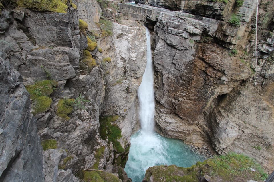
At about 9.6 km from the start, Big Springs campground sits near the main route. A faint spur of roughly 300 m follows the spring to a waterfall pouring from the rock; return to the main trail before continuing. The campground has five tent pads, a cooking area, a pit toilet and a place to hang food. If you stay overnight in Banff, you need a backcountry permit.
 Parkwolf’s verdictBig Springs is worth the short detour
Map & elevation
Plan your hike

The highest, rockiest slopes around here are a summer buffet for grizzly bears.
Banff Tour Guide
Parkwolf is a GPS audio tour guide for Banff National Park. As you drive, it chimes in with what’s ahead: hidden gems, upcoming stops, history, geology, and wildlife, right through your car’s speakers.
See the Banff audio tour“…Loved the commentary as you drove thru. I’m sure the app can do more than I know but the tips were very helpful. I’m gonna use it when we go to Banff next month.”


Trail guide
Bryant Creek Trail is a 26.7 km (16.6 mi) out-and-back from Mount Shark to the Bryant Creek Shelter area and back, a full-day walk of about 8–10 hours. It follows the Watridge Lake approach, enters a forested creek valley, passes Big Springs and finishes in the meadow around McBride’s Camp. The return retraces the same corridor, so the stored distance includes both directions. Choose it for a long, steady backcountry approach; this version turns around at Bryant Creek rather than continuing over Assiniboine or Wonder Pass toward Lake Magog.
The opening roughly 6 km shares a wide, gravelly, road-like route with the Watridge Lake nordic network. There are several junctions early on, so keep checking for Bryant Creek signs. Past Watridge Lake, the path rolls over a ridge, drops into forest and follows the creek valley. The tread narrows and crosses streams, but the route is generally easy to follow. It is a long walk with a real return leg, not a technical climb.
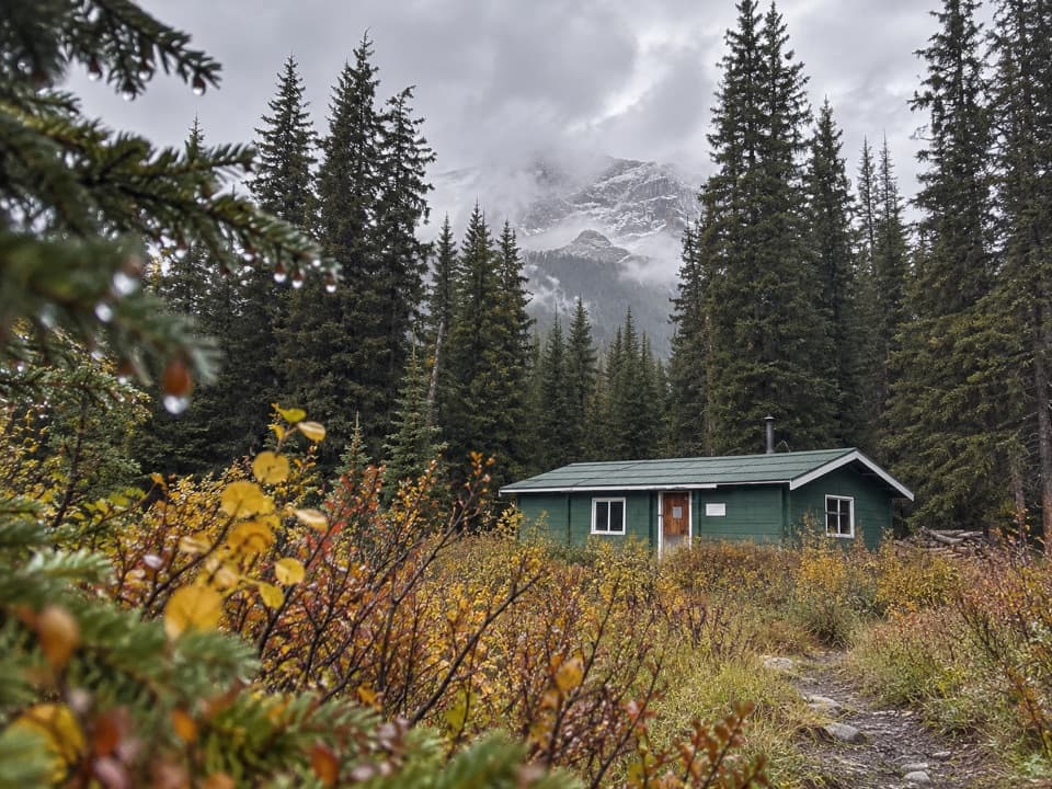
Near the far end, stay toward Bryant Creek at the Marvel Lake campground junction. McBride’s Camp and a warden cabin sit in an open meadow with peaks rising around it, and a signed spur leads to the shelter area. After so much forest, the clearing is the route’s main opening; keep some of the meadow and trail in a photo to show the valley’s scale. Through-routes over the passes continue beyond this outing and have different distances and logistics.
The trailhead is the Mount Shark Parking Lot in Spray Valley Provincial Park, outside Banff; the route enters Banff along the way. From the lot, follow Watridge Lake and then Bryant Creek markers. Dogs are allowed on the summer hiking route on a leash no longer than 2 m. The opening section is also a nordic ski network, so check seasonal pet rules before taking a dog there in winter.
Wildlife
 123 sightingsGrizzly BearMost seen around 6 AMSighting map
 150 sightingsBrown BearMost seen around 6 PMSighting map
 44 sightingsGray WolfMost seen around 6 AMSighting map
 12 sightingsRiver OtterMost seen around 8 PMSighting map
 69 sightingsMooseMost seen around 8 PMSighting map
 466 sightingsBlack BearMost seen around 9 PMSighting map
Sighting maps show where each species has been reported across Banff. Wildlife moves, so no sighting is guaranteed.
Keep exploring
 ChallengingWonder Pass Trail26.5 km · 8 hr · At the trailheadA long one-way alpine approach over Wonder Pass to Lake Magog
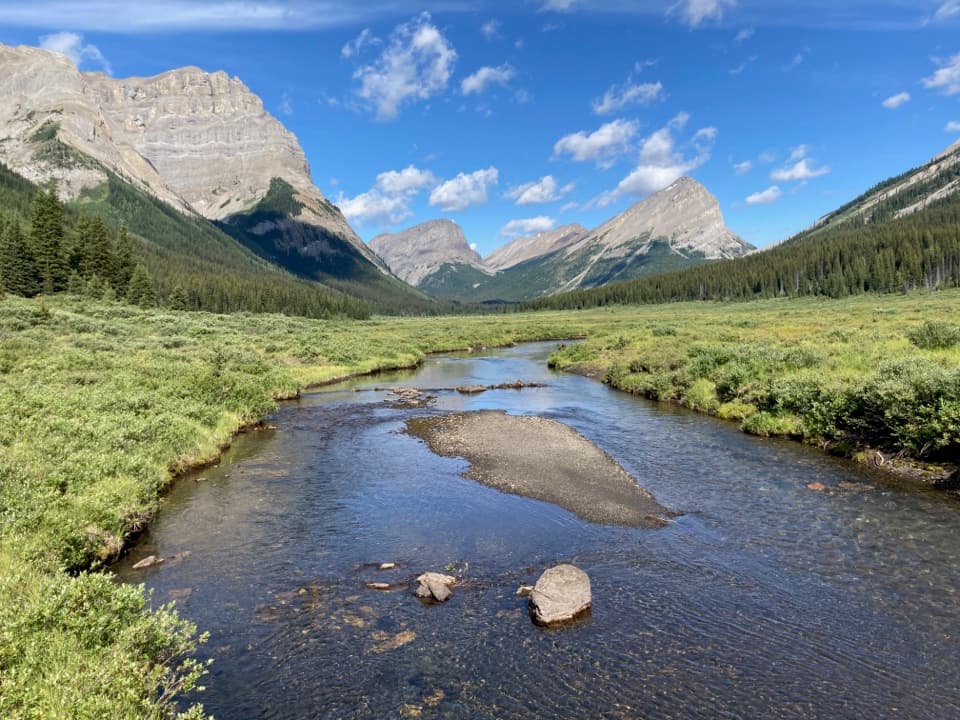 ChallengingAssiniboine Pass Trail21.8 km · 7 hr · 0.1 km awayA long backcountry approach climbs from Mount Shark to Assiniboine Pass.
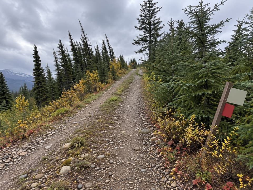 ModerateMarvel Lake Campground Trail25.7 km · 7 hr · 0.1 km awayA long Bryant Creek walk to Marvel Lake’s backcountry camp.
 ModerateBurstall Pass Trail14.8 km · 6 hr · 9.3 km awayWet stream crossings lead to a steep climb and broad alpine views.
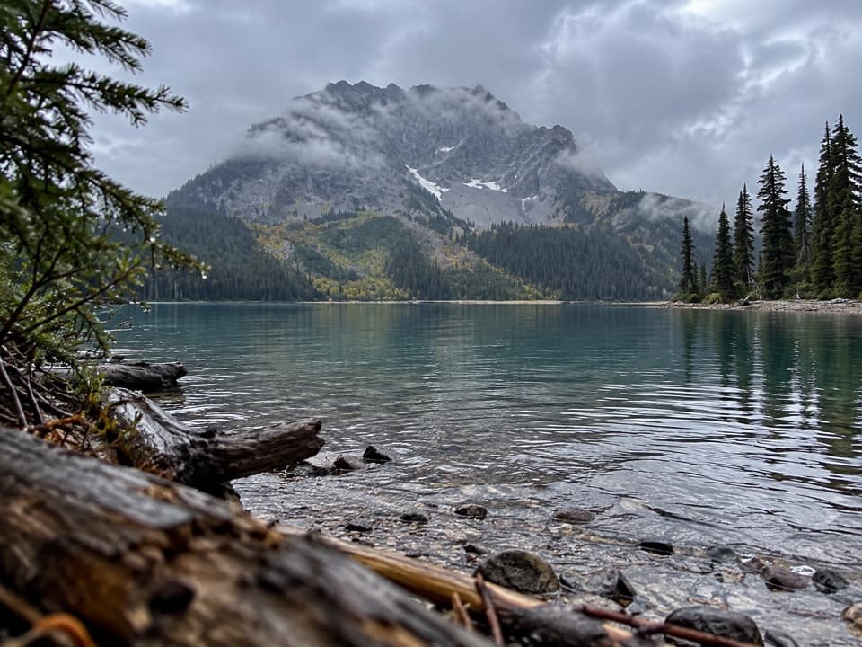 ModerateLeman Lake Trail4.9 km · 2 hr · 11 km awayA backcountry spur toward Leman Lake, reached over Burstall Pass.
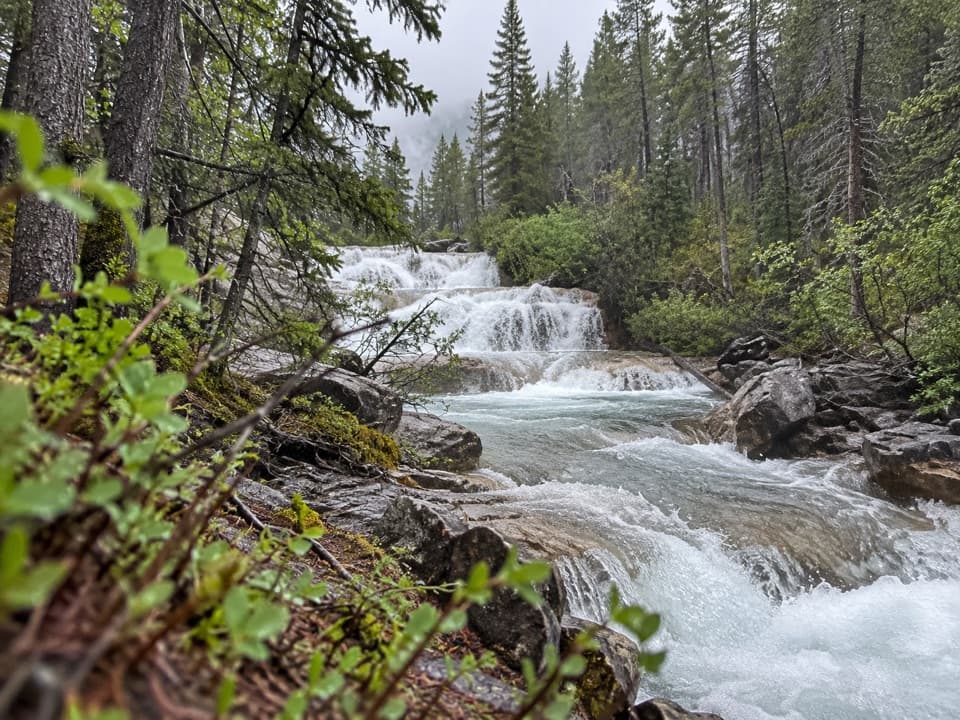 ChallengingAurora Creek-Marvel Pass Trail16.8 km · 8 hr · 19.9 km awayA long creek walk climbs to alpine meadows below Marvel Pass.
Parkwolf’s Banff ranking
The audio tour guide for the drive, plus offline maps, trails, and wildlife heatmaps for when the signal drops.