
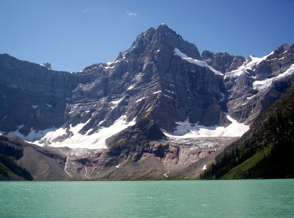
Place · 4.6 mi away
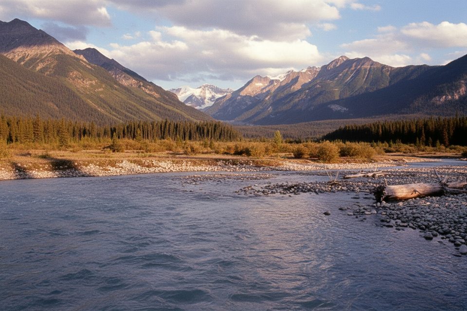
Howse Pass is a low, historic crossing of the Continental Divide on the Alberta–British Columbia line. It’s the kind of place you seek out for solitude and story: a broad, river‑carved corridor that once carried Indigenous travelers and fur traders across the Rockies.
Designated a National Historic Site in 1978, the pass was used by Indigenous peoples (including the Ktunaxa) and famously crossed by David Thompson in 1807. For a brief window, it served as the North West Company’s first transcontinental trade route linking east to the Columbia River. Standing at the pass, you’re literally on a watershed split—eastward flows toward the Atlantic, westward to the Pacific.
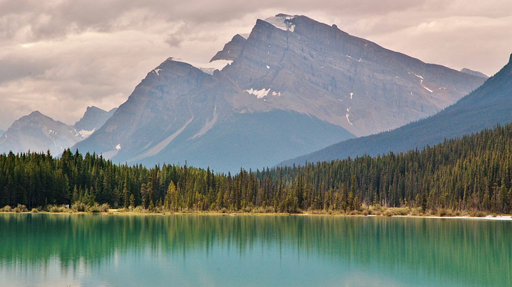
Expect valley-bottom forest, open river flats, ponds and gullies, with big-mountain walls around you. Near the divide, the views open to surrounding peaks and the headwaters of the North Saskatchewan. If you’re road-tripping nearby, a separate roadside Howse Pass Viewpoint offers a look over the Howse and Saskatchewan Rivers and Mount Sarbach.
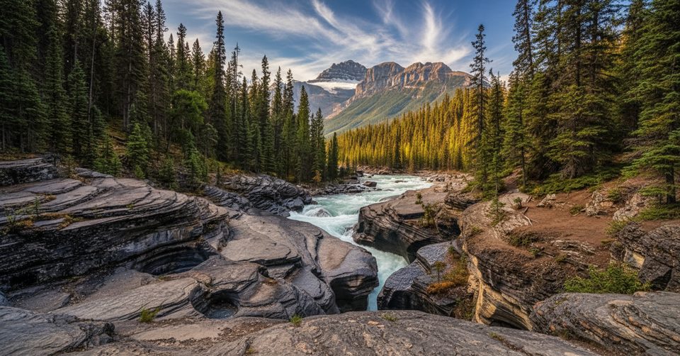
Most modern parties approach from the Icefields Parkway near Mistaya Canyon, south of Saskatchewan River Crossing. The historical trail is largely gone; today’s route often follows the braided floodplain of the Howse River. End-to-end from the BC side (Cairnes Creek) to the Icefields Parkway is roughly 39.5 km.
This is not a maintained trail. Expect downfall, overgrowth, sections lost to floods, and frequent route-finding. Creek and channel crossings are common. Navigation tools are essential, and you should be prepared for backcountry camping with little to no cell coverage.
This corridor is prime bear habitat. Carry bear spray, keep a clean camp, and store food properly (hang or use a canister). Treat all water from rivers and creeks. Weather can shift quickly—pack layers and rain gear.
Go when the weather forecast is stable and river levels are manageable. Long summer daylight helps with route-finding, though bugs can be intense near water. Crowds are rarely an issue here; you’ll likely have the place to yourself. Early or late in the day offers softer light on the valley and peaks.
If you want groomed paths and viewpoints with railings, skip it. If you love history, big landscapes, and the satisfaction of piecing together a disappearing route, Howse Pass is a rewarding, under-the-radar objective.
Place · 4.6 mi away
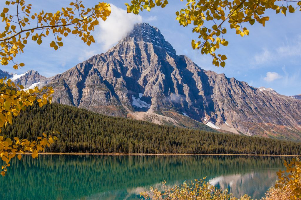
Place · 4.9 mi away
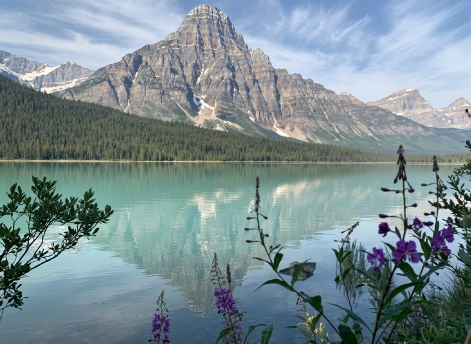
Place · 6.2 mi away
Place · 6.2 mi away
Easy · 6.3 mi away
Easy · 9.9 mi away
Challenging · 9.9 mi away
Easy · 12.1 mi away

Parkwolf Tour Guide
