Parking
Bow Summit/Peyto Lake Day-use Area on the Icefields Parkway (Hwy 93N); toilets are available at the lot, with no food or water. Parking fills quickly in peak season, so use only designated spaces.
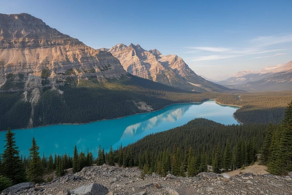
#9 of 177 trails in Banff
Banff National Park, AB
A short loop to Peyto Lake’s high, classic viewpoint
Overview
Map & elevation
Plan your hike

The highest, rockiest slopes around here are a summer buffet for grizzly bears.
Banff Tour Guide
Parkwolf is a GPS audio tour guide for Banff National Park. As you drive, it chimes in with what’s ahead: hidden gems, upcoming stops, history, geology, and wildlife, right through your car’s speakers.
Recorded for this trailhead
Bow Summit: Highest Point on the Parkway“You're now climbing toward Bow Summit, which is the highest point along the entire Icefields Parkway. This is the location of the famous Peyto Lake viewpoint, where you can also see the Peyto Glacier in the distance.”
Plays as you drive up to this trailhead in the Parkwolf Banff Tour Guide.
More stories near here in the app
“…Loved the commentary as you drove thru. I’m sure the app can do more than I know but the tips were very helpful. I’m gonna use it when we go to Banff next month.”


Trail guide
Peyto Lake’s famous blue-green basin is the payoff here. The 1.2-mile loop starts at Bow Summit, follows the signed path to the viewing deck, and uses the access loop on the way around. Allow 45–60 minutes, including photo stops.
The paved route climbs steadily, with a few stairs near the viewing platforms. Continue to the signed upper viewpoint if the first deck is busy. This is a viewpoint walk, not a trail down to the lake.
Glacial rock flour gives the water its turquoise colour. For photos, include some deck or trail so the lake’s scale reads on a phone; the wolf-head outline is easiest to recognize from the signed viewpoint.
The day-use area has toilets but no food or water; parking fills quickly. Bring layers for changeable summit weather, stay on designated paths around fragile alpine vegetation, and keep pets leashed. A Parks Canada pass is required for the park and Icefields Parkway.
Wildlife
 122 sightingsGrizzly BearMost seen around 6 AMSighting map
 150 sightingsBrown BearMost seen around 6 PMSighting map
 44 sightingsGray WolfMost seen around 6 AMSighting map
 12 sightingsRiver OtterMost seen around 8 PMSighting map
 67 sightingsMooseMost seen around 8 PMSighting map
 465 sightingsBlack BearMost seen around 9 PMSighting map
Sighting maps show where each species has been reported across Banff. Wildlife moves, so no sighting is guaranteed.
Keep exploring
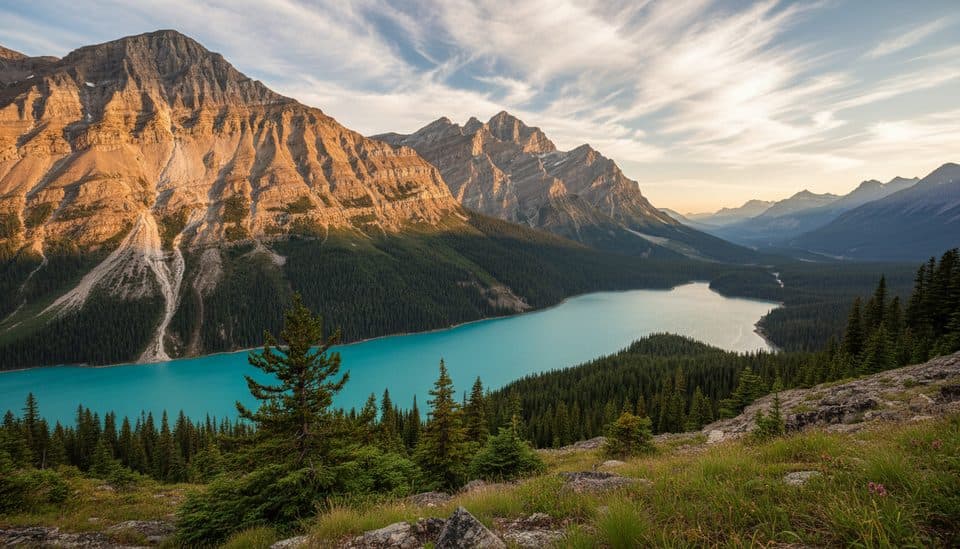 EasyPeyto Lake Lower Viewpoint Trail1.9 km · 1.5 hr · At the trailheadA rough spur leads to Peyto’s quieter second viewpoint
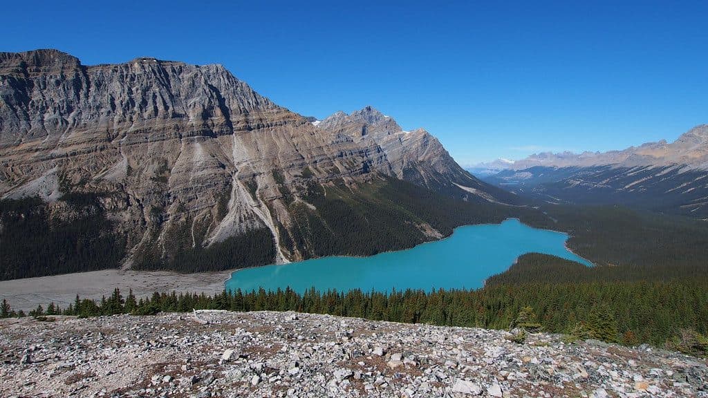 EasyBow Summit Lookout6.8 km · 2.5 hr · 0.1 km awayA steady climb beyond Peyto Lake to a quieter Bow Summit viewpoint with broad glacier and mountain views.
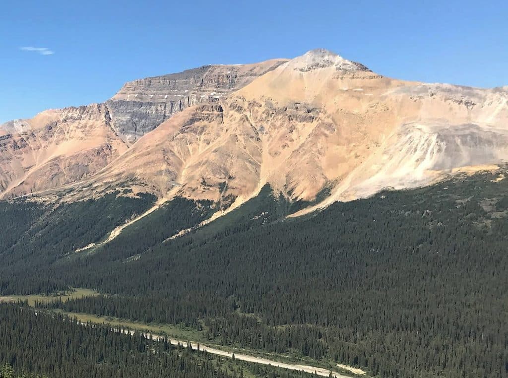 ChallengingObservation Peak8 km · 6 hr · 0.6 km awayA strenuous 5-mile Bow Summit scramble to huge Peyto Lake and Icefields Parkway views.
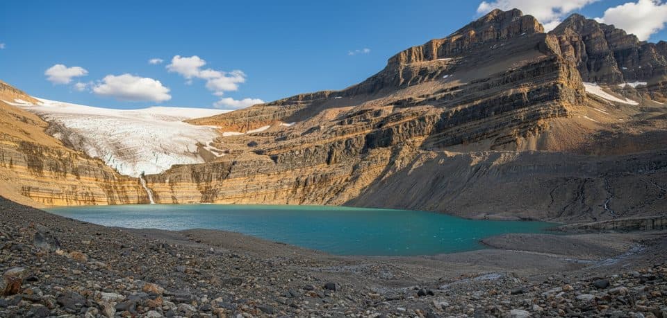 ModerateBow Glacier Falls9 km · 3 hr · 4.8 km awayTurquoise shoreline walk to Bow Glacier Falls viewpointsChallengingBow Hut Trail15.6 km · 5.5 hr · 4.9 km awayDemanding alpine approach from Bow Lake to the ACC’s Bow Hut, with glacier views, moraine, and creek crossingsEasyBow Lake Lakeshore9 km · 3 hr · 4.9 km awayBow Lake shoreline and forested climb to Bow Glacier Falls
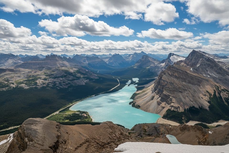 ChallengingMount Jimmy Simpson Trail15.3 km · 8 hr · 4.9 km awayA full-day scramble from Bow Lake to Icefields Parkway panoramas
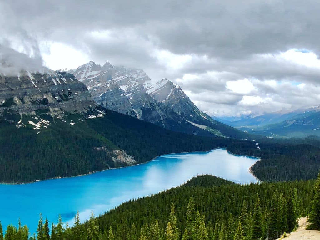 Sight · 0.2 km awayBow SummitPeyto Lake’s classic overlook with bigger views if you keep climbing
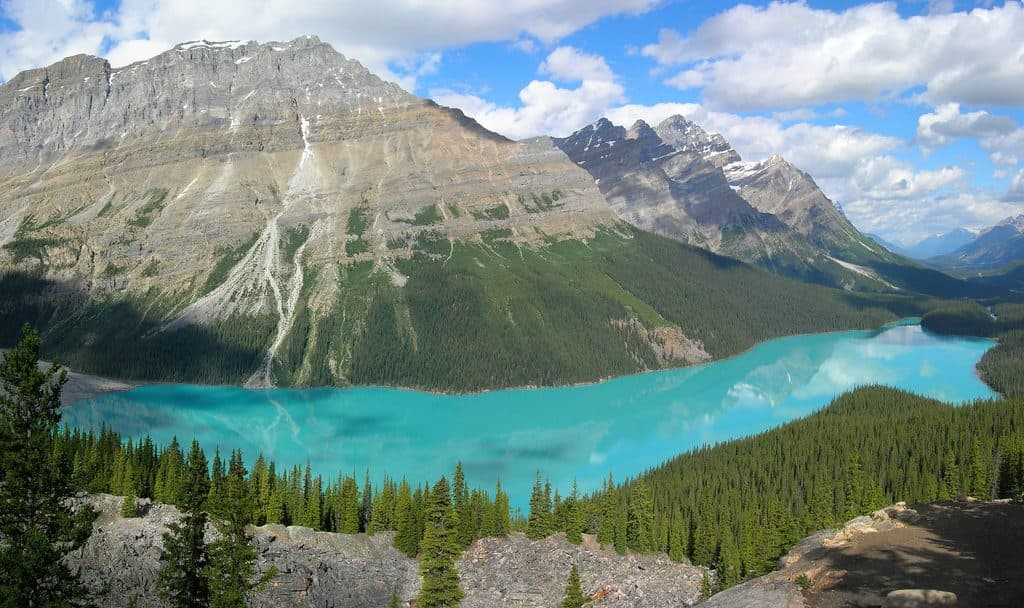 Sight · 0.6 km awayPeyto Lake ViewpointClassic view of turquoise, wolf-shaped Peyto Lake from above
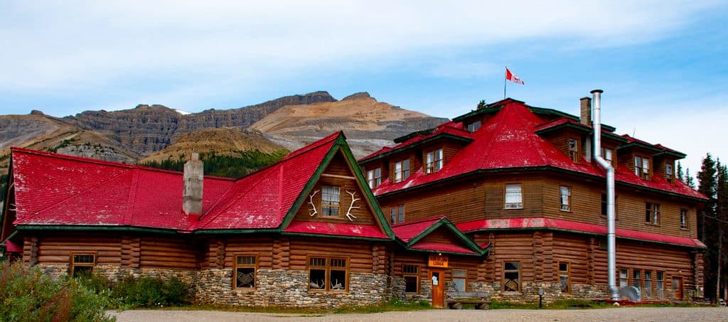 Lodging · 4.8 km awaySimpson's Num-Ti-Jah LodgeHistoric lakeside lodge on Bow Lake with trails at your door
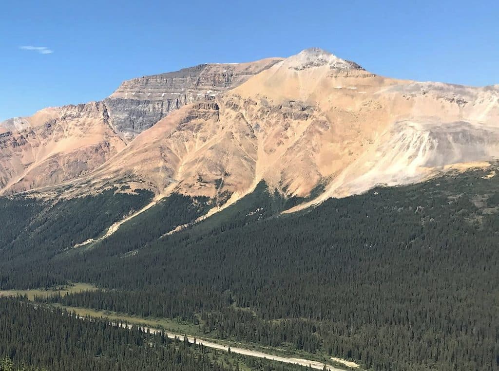 Sight · 5.1 km awayObservation PeakBig-views summit scramble above Bow and Peyto lakes
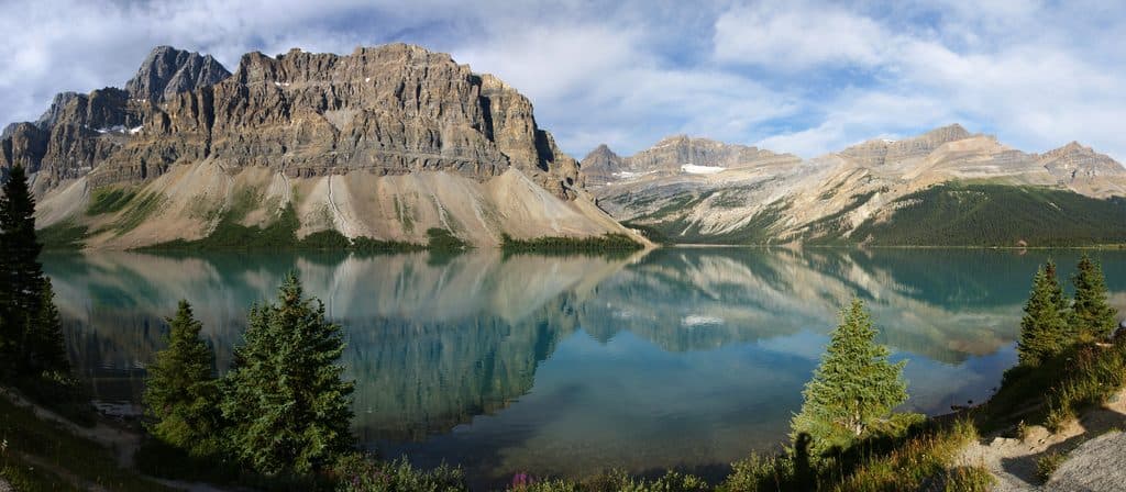 Sight · 5.8 km awayBow LakeTurquoise roadside lake with glaciers, reflections, and easy trails
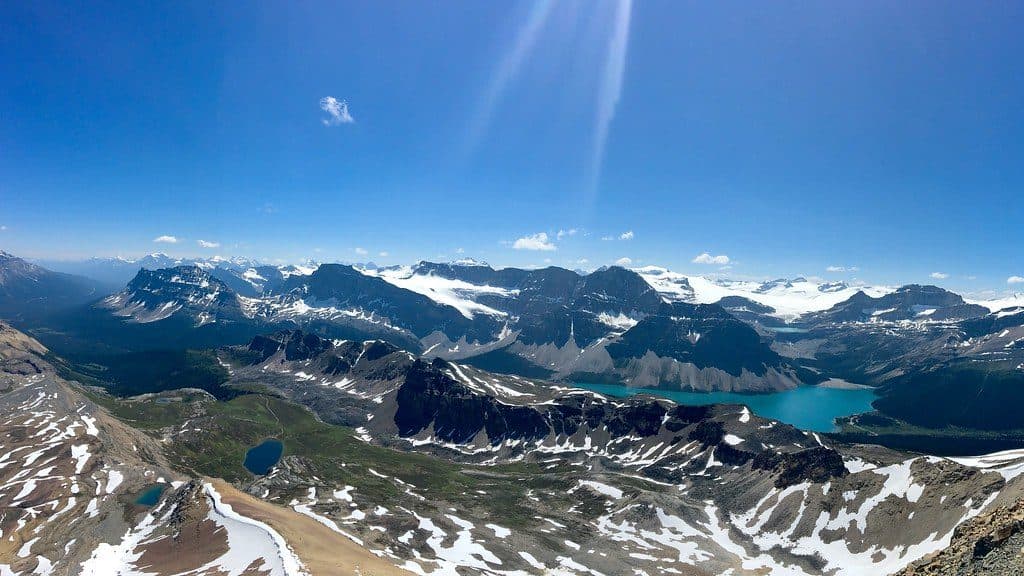 Sight · 6 km awayCirque PeakBig alpine views for a mostly-hike with a short, easy scramble
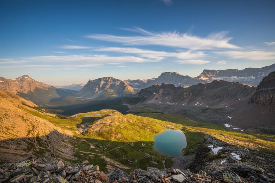 Sight · 6.9 km awayHelen LakeWildflower meadows lead to a tranquil alpine lake below Cirque Peak
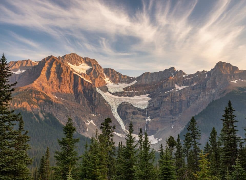 Scenic pullout · 7 km awaySnowbird Glacier LookoutQuick pullout for close-up views of Snowbird Glacier and Mt Patterson
Parkwolf’s Banff ranking

The audio tour guide for the drive, plus offline maps, trails, and wildlife heatmaps for when the signal drops.





