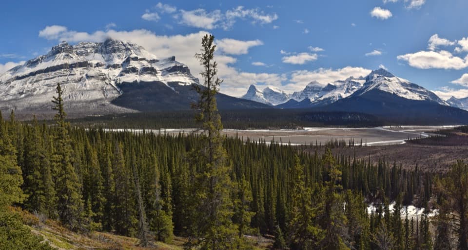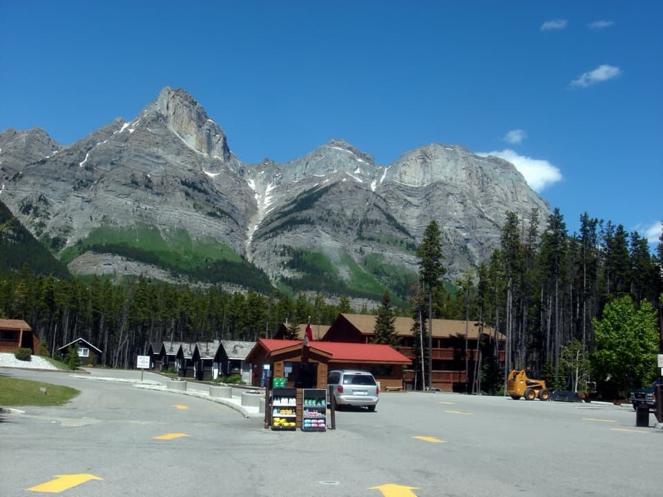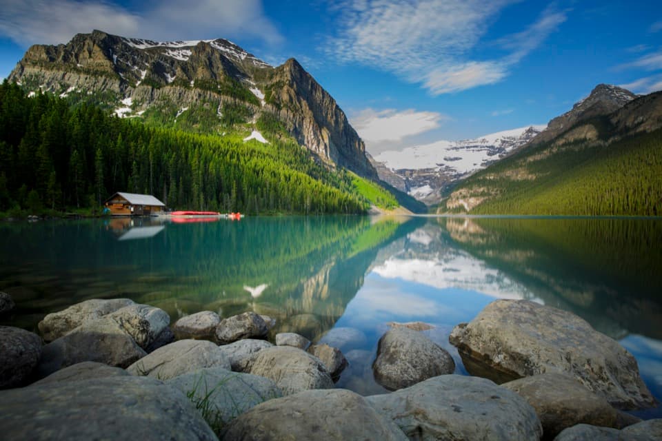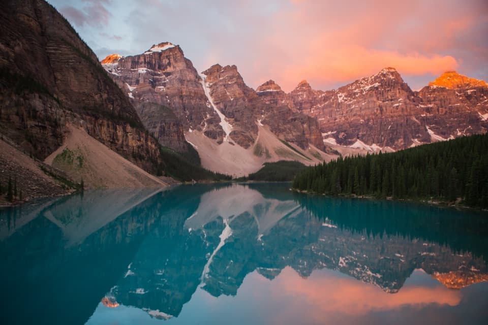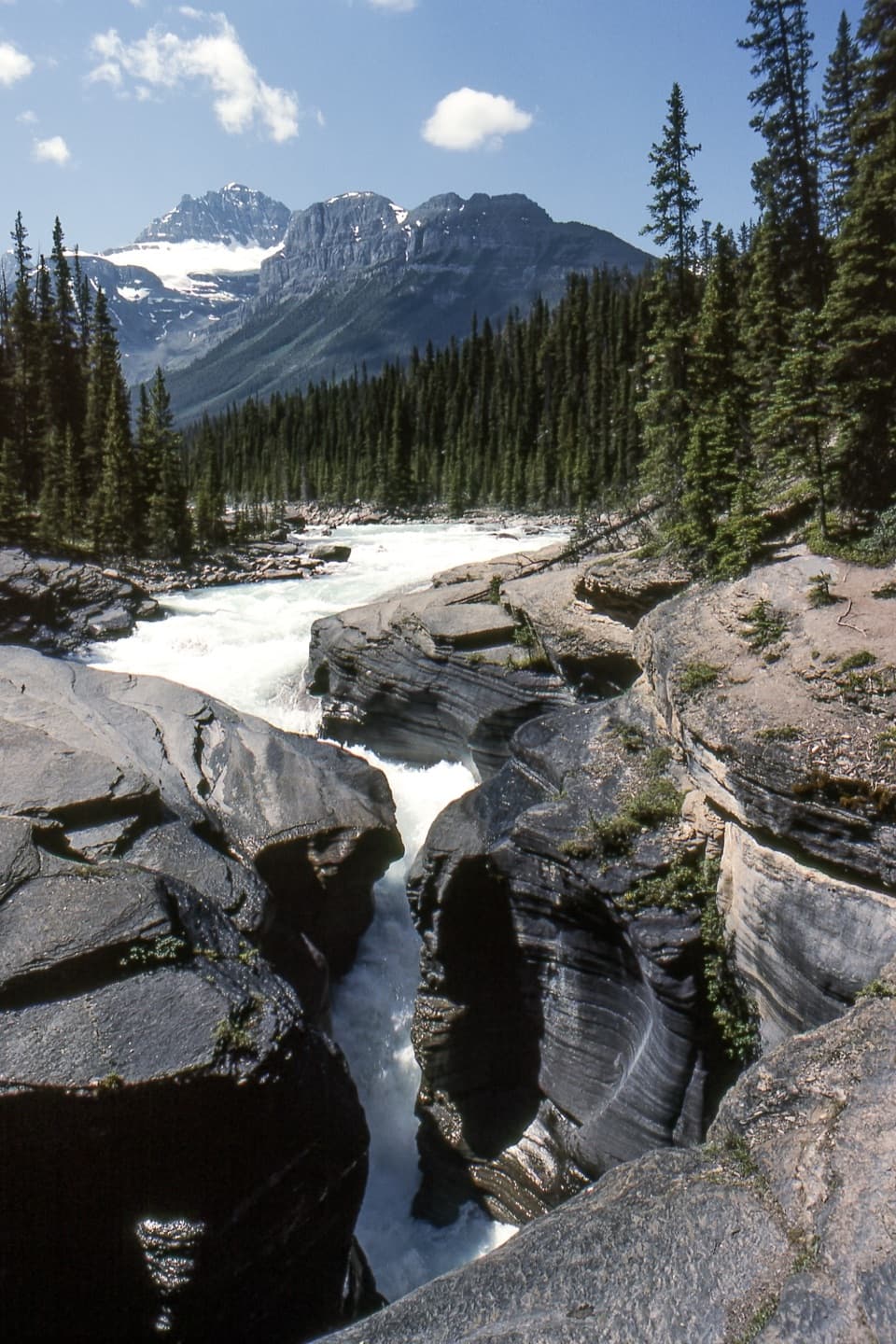
Mistaya Canyon in Banff National Park

Sight · Banff National Park

Mistaya Canyon

A quick bridge stop over a deep, water-carved limestone gorge.

Photo: Wikimedia Commons
Type
Sight
Nearest trail
0.3 km
Audio stories
3 nearby
  • Scenic viewpoint
  • Trailhead
  • Parking
  • #16 of 50 sights

Hear the audio tour

Mistaya Canyon: A Bridge Above the Gorge

Overview

About Mistaya Canyon

Why stop

  • The narrow gorge and rushing river feel dramatic for a short stop.

Heads up

  • The short approach drops down, then climbs back on uneven ground.

Map

Where it is

Loading the Banff map
Full map
SightMistaya Canyon51.94281, -116.72064
Keep this map with you offline in the Parkwolf app

Plan your stop

Before you go

8 active Banff alerts

  • ClosureJohnston Canyon Trail and Day Use Area closedJohnston Canyon Trail and Day Use Area are closed to all traffic and travel through December 11, 2026, because construction work requires protecting public and workers’ safety.Official details
  • ClosureBaker Lake and Hidden Lake campgrounds closed to campingCamping is prohibited at Baker Lake and Hidden Lake campgrounds through December 1, 2026, because a grizzly bear entered campsites and investigated tents and gear; the closures reduce risk to…Official details

See all 8 alerts
A park ranger sits on a dash-mounted phone, talking, as Parkwolf’s Tour Guide plays “Army Cutworm Moths: A Grizzly Bear Buffet” on Grand Loop Road below Dunraven Pass in Yellowstone
Parkwolf Tour GuideThe highest, rockiest slopes around here are a summer buffet for grizzly bears.

Banff Tour Guide

Your drive to Mistaya Canyon, narrated.

Parkwolf is a GPS audio tour guide for Banff National Park. As you drive, it chimes in with what’s ahead: hidden gems, upcoming stops, history, geology, and wildlife, right through your car’s speakers.

See the Banff audio tour

Recorded for this place

Mistaya Canyon: A Bridge Above the Gorge
0:00 / 0:23
“You're approaching the Mistaya Canyon trailhead, a short walk to a bridge above a winding limestone gorge.”

Plays as you drive up to Mistaya Canyon in the Parkwolf Banff Tour Guide.

More stories near here in the app

  • Follow the Stripes to the Face
  • Why Lake Louise Gets More Snow
  • Why the River Splits
  • Howse Pass Viewpoint: Valley and an Old Crossing
  • 185 audio storiesacross Banff’s roads, triggered by GPS as you drive
  • Wildlife heatmapsfor Grizzly Bear, Brown Bear, Gray Wolf, and 13 more
  • Works offlinemaps, 162 trails, 90 places, and audio download before you lose signal
  • CarPlay readysimple controls built for the drive
★★★★★
“…Loved the commentary as you drove thru. I’m sure the app can do more than I know but the tips were very helpful. I’m gonna use it when we go to Banff next month.”
tesja22App Store review
Download Parkwolf on the App StoreGet Parkwolf on Google Play

4.7 from 8,600+ ratings

Guide

More about Mistaya Canyon

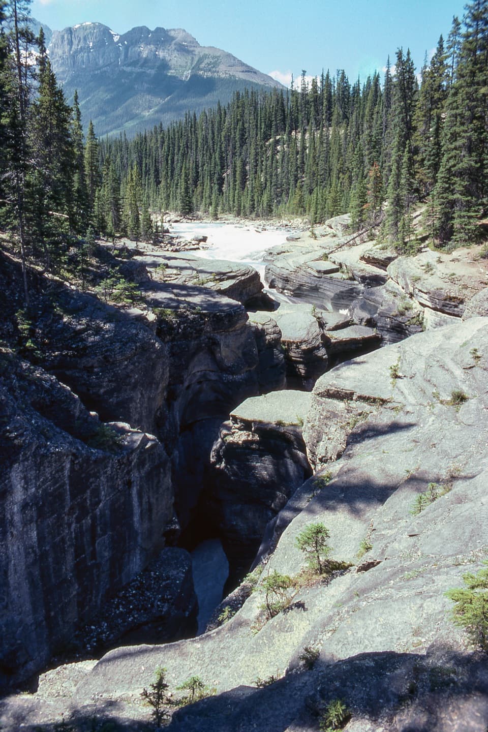
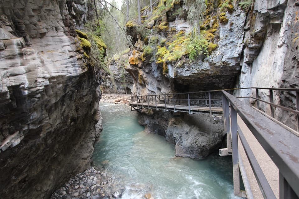
The short stopMistaya Canyon is a narrow limestone gorge on the Icefields Parkway, 74 km north of Lake Louise.

Mistaya Canyon is a narrow limestone gorge on the Icefields Parkway, 74 km north of Lake Louise. A short downhill walk from the roadside parking area brings you to a bridge looking into the fast, sculpted channel. If you’re already driving this stretch, it’s a worthwhile stop for a dramatic gorge without committing to a long hike; expect an uphill return on uneven ground.

The bridge is the viewFrom the bridge, you can look down into the narrow slot where the river squeezes between curved…

From the bridge, you can look down into the narrow slot where the river squeezes between curved rock walls. The canyon and river lead your eye toward Mount Sarbach in the distance. For a photo, frame the channel from the bridge so the water and walls pull the view into the gorge. Stay on the bridge: Parks Canada warns visitors to keep off the rocks around the canyon.

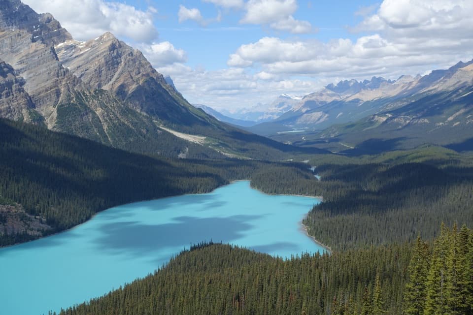
Water did the carvingThe Mistaya River flows from Peyto Lake and has cut through the limestone over thousands of…

The Mistaya River flows from Peyto Lake and has cut through the limestone over thousands of years. The smooth, scooped channels and tight walls make the force of that water easy to see from above.

A short walk with an uphill finishThe approach is brief but uneven, and the return climbs back to the road.

The approach is brief but uneven, and the return climbs back to the road. Visitors describe rocky or muddy footing, so this is not a flat roadside stroll. The trail is marked summer-only; check access before planning a winter or late-season visit.

Plan for a remote roadParking is beside the trail access, but reports vary on how easily spaces are available when…

Parking is beside the trail access, but reports vary on how easily spaces are available when it’s busy. Restroom availability is also reported inconsistently, so don’t count on a dependable toilet here. No food service or potable water was verified at the stop, and services are limited along this remote stretch of the Parkway. A Parks Canada pass is required to drive the Icefields Parkway, and there’s no cell coverage, so plan your route before setting out.

Wildlife

Wildlife in Banff

All Banff wildlife maps

Sighting maps show where each species has been reported across Banff. Wildlife moves, so no sighting is guaranteed.

Parkwolf’s Banff ranking

Top sights in Banff

All 90 places
  1. 1Lake LouiseSight
  2. 2Moraine LakeSight
  3. 3Peyto Lake ViewpointSight
  4. 4Johnston CanyonSight
  5. 5Banff GondolaSight
  6. 6Cave and Basin National Historic SiteSight

Take Parkwolf to Banff.

The audio tour guide for the drive, plus offline maps, trails, and wildlife heatmaps for when the signal drops.

4.7 from 8,600+ ratings

Download Parkwolf on the App StoreGet Parkwolf on Google Play