Parking
Start at Great Divide Trail access point d16 on the Icefields Parkway and finish on Blaeberry Forestry Road near Cairnes Creek. A formal lot and parking capacity at the start were not verified; arrange a shuttle between the ends.
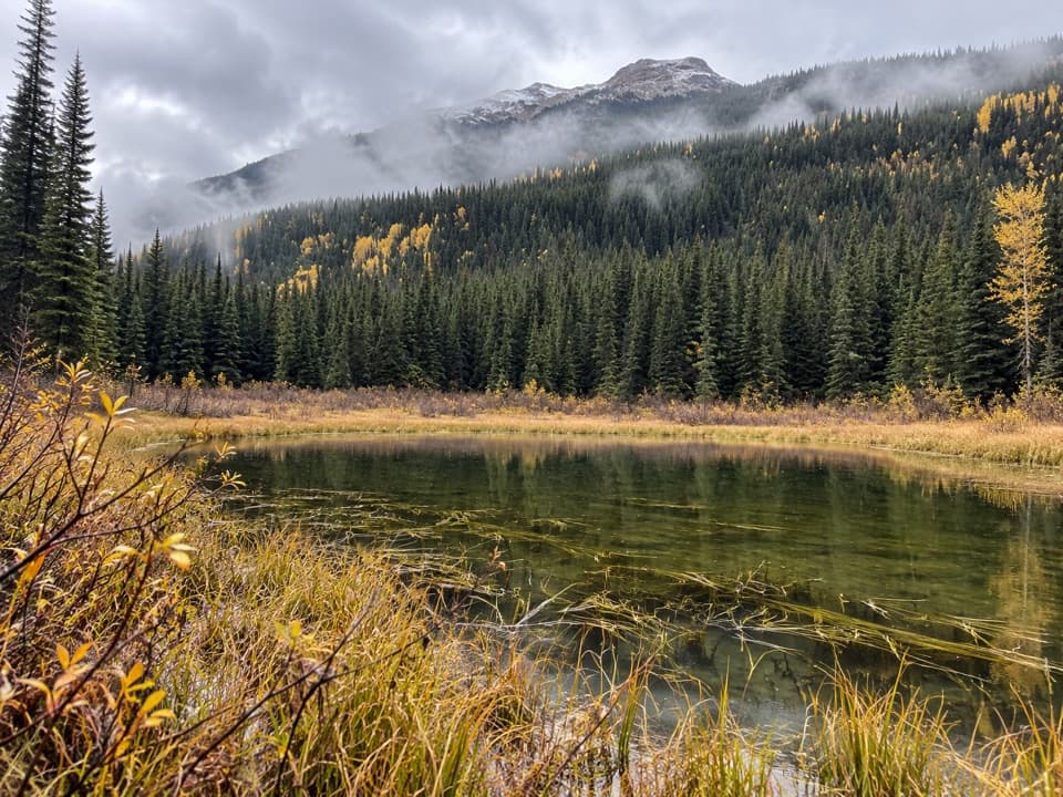
Banff National Park, AB
A remote divide crossing through river flats and nearly vanished trail.
Overview
Map & elevation
Plan your hike

The highest, rockiest slopes around here are a summer buffet for grizzly bears.
Banff Tour Guide
Parkwolf is a GPS audio tour guide for Banff National Park. As you drive, it chimes in with what’s ahead: hidden gems, upcoming stops, history, geology, and wildlife, right through your car’s speakers.
See the Banff audio tourRecorded for this area
Howse Pass Viewpoint: Valley and an Old Crossing“You're approaching Howse Pass Viewpoint, a short walk to a broad view of the North Saskatchewan River Valley. Stop here to see the pale river splitting into channels below the mountains.”
Plays on the road 0.8 km from the trailhead in the Parkwolf Banff Tour Guide.
More stories near here in the app
“…Loved the commentary as you drove thru. I’m sure the app can do more than I know but the tips were very helpful. I’m gonna use it when we go to Banff next month.”


Trail guide
The Howse Pass Trail is a 42.8-kilometre (26.6-mile) one-way point-to-point backcountry route from Great Divide Trail access point d16 on the Icefields Parkway to Blaeberry Forestry Road near Cairnes Creek in British Columbia. It climbs through Banff’s Howse River corridor, crosses Howse Pass on the Continental Divide, then descends into the Blaeberry drainage. Plan at least two days and arrange transport between the remote ends. A 1993 crossing was measured at 39.5 kilometres, so treat the current mapped line as an estimate, not survey precision.
From Highway 93, the route follows established trail toward the Glacier Lake junction. Beyond that junction, it enters an unmaintained wilderness section where the old tread is heavily choked with blowdowns. The mapped Great Divide route uses the Howse River floodplain, with multiple side channels to ford and stretches where the river has shifted. Expect wet feet and route-finding rather than a continuous path; water level and the river’s current channels can change which line works.
Howse Pass sits at about 1,539 metres on the boundary between Alberta and British Columbia. It was a Ktunaxa travel route to bison country east of the Rockies. David Thompson crossed west in 1807 while establishing the first fur-trade post in the Columbia basin, and the pass was later designated a National Historic Site. A plaque and older wooden marker at the pass recall that history. The route continues west from the pass through rough, overgrown country toward Cairnes Creek; this is a wilderness crossing, not a maintained pass viewpoint walk.
There are no resupply services along the crossing. Random camping in Banff is restricted to designated backcountry areas and requires a Parks Canada permit; plan overnight stops before setting out. This point-to-point route needs a vehicle shuttle or pickup. Confirm that both end accesses are usable and that your party has current navigation, river-crossing and backcountry skills before committing.
Wildlife
 123 sightingsGrizzly BearMost seen around 6 AMSighting map
 150 sightingsBrown BearMost seen around 6 PMSighting map
 44 sightingsGray WolfMost seen around 6 AMSighting map
 12 sightingsRiver OtterMost seen around 8 PMSighting map
 69 sightingsMooseMost seen around 8 PMSighting map
 466 sightingsBlack BearMost seen around 9 PMSighting map
Sighting maps show where each species has been reported across Banff. Wildlife moves, so no sighting is guaranteed.
Keep exploring
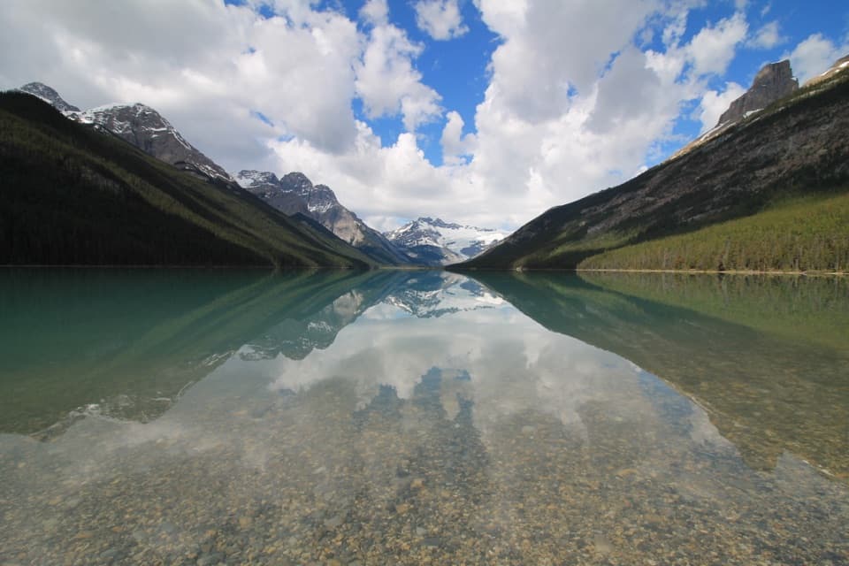 ChallengingGlacier Lake Trail17 km · 6 hr · 2.4 km awayBraided river views, red chairs and a long walk to Glacier Lake.
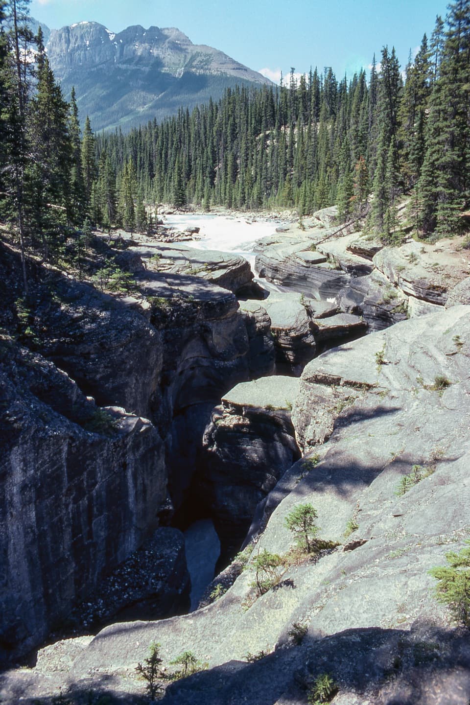 EasyMistaya Canyon Trail1 km · 24 min · 3.5 km awayA short, steep drop to the bridge over a carved limestone gorge.
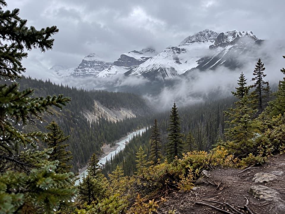 ChallengingSarbach Lookout Trail10.2 km · 4.5 hr · 3.5 km awayA steady forest climb ends at a rocky former lookout.
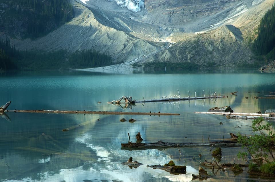 ModerateCirque Lake Trail9.1 km · 3 hr · 15.8 km awayA muddy forest walk to a turquoise lake beneath glacier views.
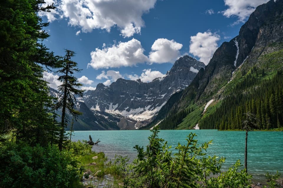 ModerateChephren Lake Trail8.2 km · 2.8 hr · 15.8 km awayA forested out-and-back to Chephren Lake beneath Howse Peak.
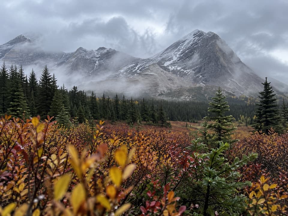 ChallengingSunset Pass Trail16.2 km · 6.5 hr · 16.6 km awayA steep forest climb opens onto remote meadows beneath a high pass.
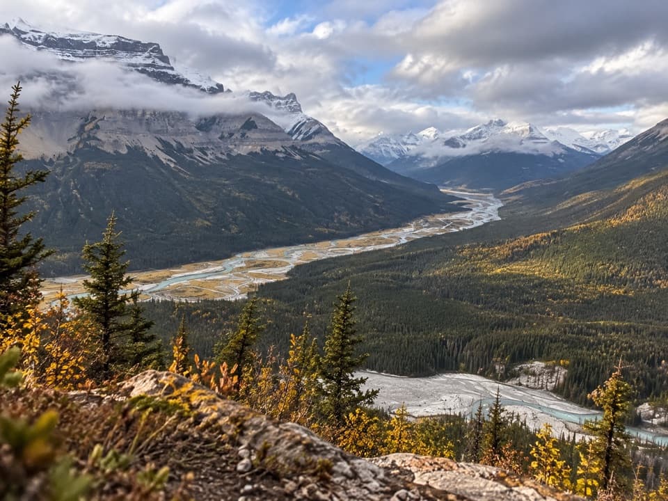 ChallengingSunset Lookout Trail9 km · 3.5 hr · 16.6 km awayA steep climb to a former lookout above two braided river valleys.
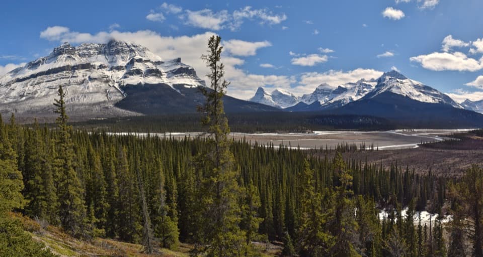 Scenic pullout · 0.9 km awayHowse Pass ViewpointA quick Parkway pause for braided river and mountain views.
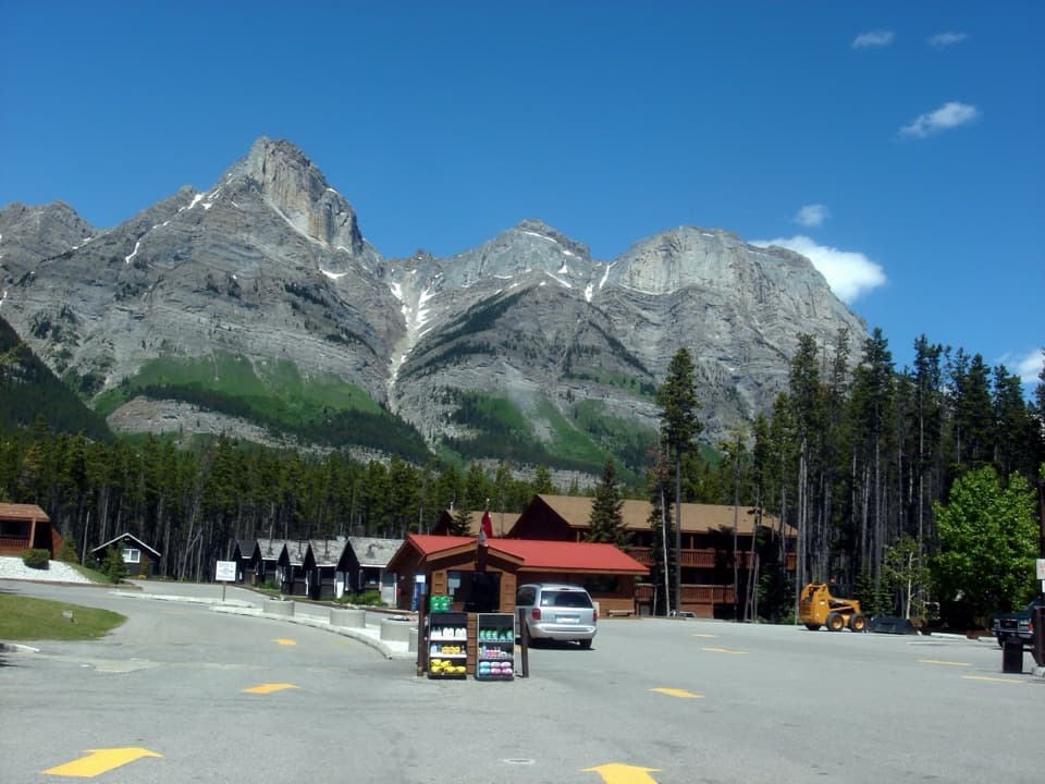 Lodging · 1.6 km awayThe Crossing ResortA remote Parkway stop with beds, meals, and fuel.
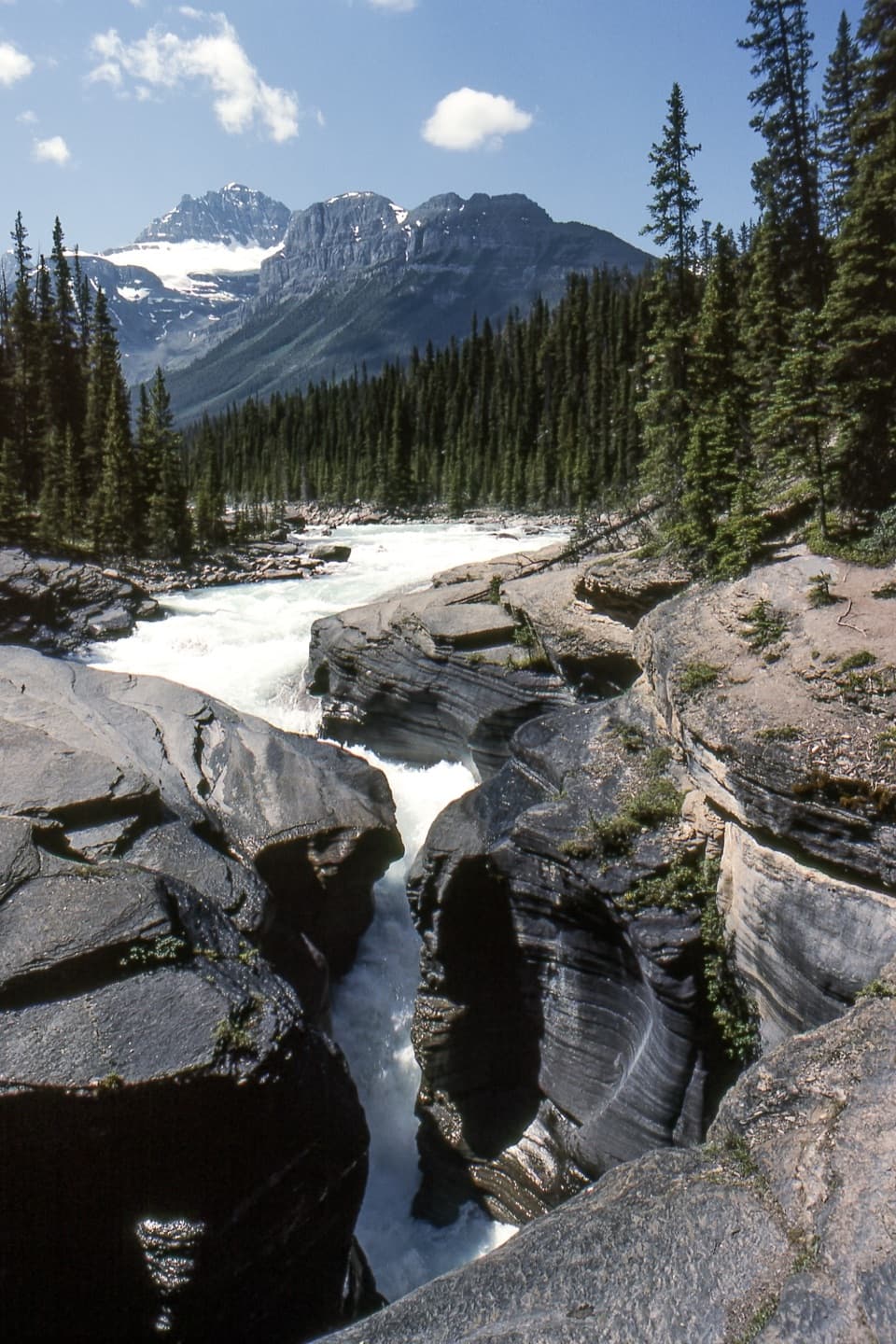 Sight · 3.3 km awayMistaya CanyonA quick bridge stop over a deep, water-carved limestone gorge.
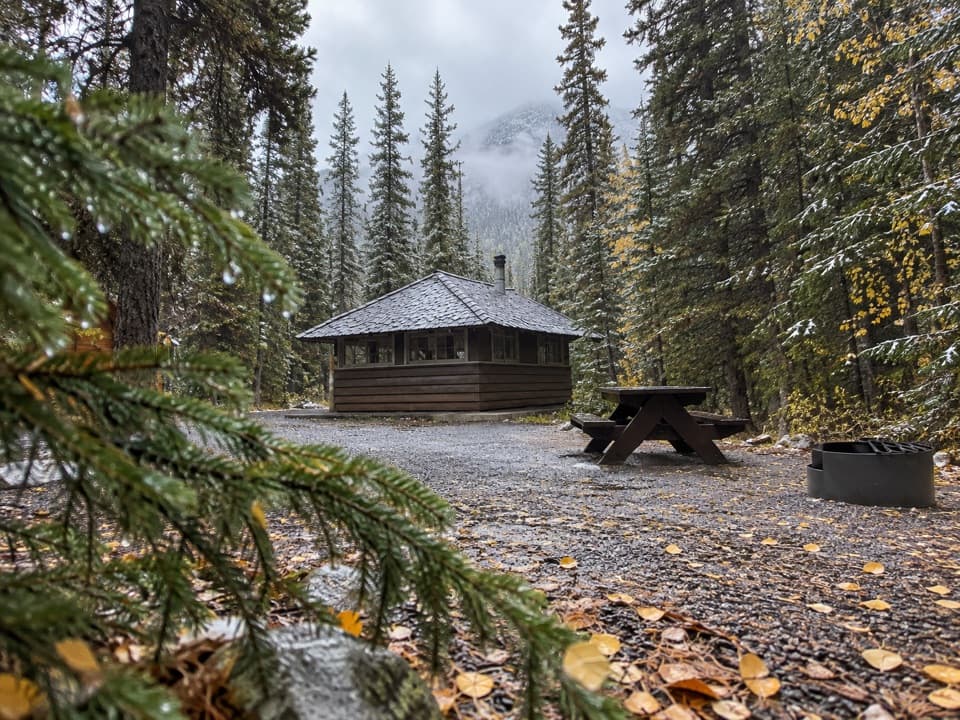 Campground · 12.3 km awayRampart Creek CampgroundA wooded riverside camp for a quieter Icefields Parkway night.
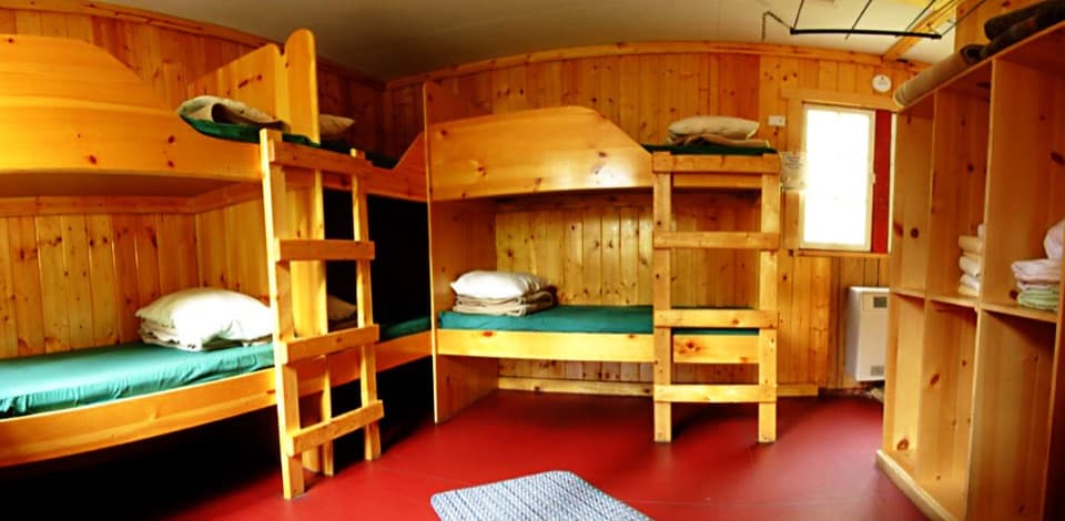 Lodging · 12.3 km awayHI Rampart Creek Wilderness HostelAn off-grid hostel stay with mountain quiet and a shared kitchen.
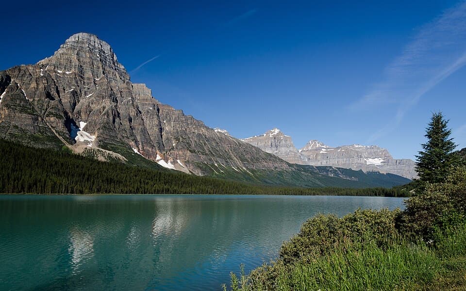 Scenic pullout · 15.1 km awayLower Waterfowl Lake ViewpointMount Chephren and blue-green water make a quick scenic stop.
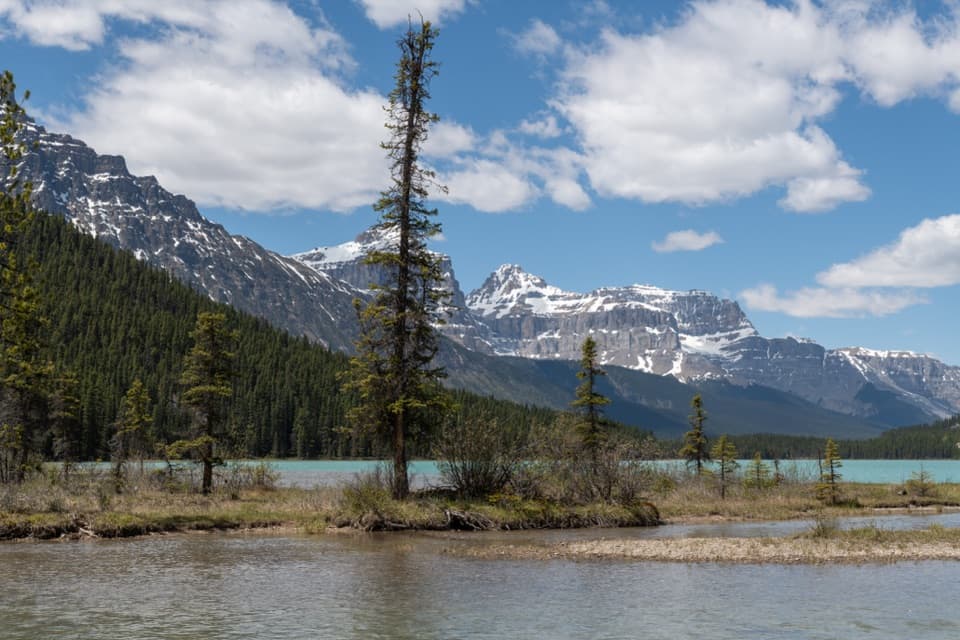 Campground · 16 km awayWaterfowl Lakes CampgroundGood paddling between glacier-fed lakes, with no cell signal.
Parkwolf’s Banff ranking

The audio tour guide for the drive, plus offline maps, trails, and wildlife heatmaps for when the signal drops.





