Parking
Use the Glacier Lake parking area on the southwest side of the Icefields Parkway, about 1 km north of the David Thompson Highway junction at Saskatchewan River Crossing. The trail begins beside the lot.
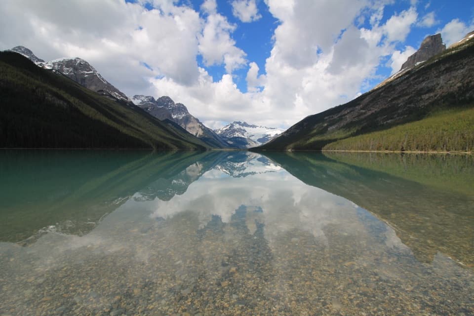
Banff National Park, AB
Braided river views, red chairs and a long walk to Glacier Lake.
Overview
Glacier Lake Trail is a backcountry out-and-back from the Icefields Parkway to a large mountain lake, about 10.5 miles (17 km) round trip. Allow about six hours with stops. The grade is moderate, but the distance makes this a full-day outing; the payoff is the change from forest and river to a long, glacier-backed lakeshore. If you want a shorter walk, the Howse River red chairs make a natural turnaround. This is a straight out-and-back, so the way in is the way back.
 Parkwolf’s verdictIs this the hike for you?
Map & elevation
Plan your hike

The highest, rockiest slopes around here are a summer buffet for grizzly bears.
Banff Tour Guide
Parkwolf is a GPS audio tour guide for Banff National Park. As you drive, it chimes in with what’s ahead: hidden gems, upcoming stops, history, geology, and wildlife, right through your car’s speakers.
See the Banff audio tourRecorded for this trailhead
Glacier Lake or the Howse River Chairs“You're coming up on Glacier Lake trailhead, where a full day's walk reaches a long lake backed by Southeast Lyell Glacier. Allow about six hours for the seventeen-kilometre round trip, including a sizeable forest climb.”
Plays as you drive up to this trailhead in the Parkwolf Banff Tour Guide.
More stories near here in the app
“…Loved the commentary as you drove thru. I’m sure the app can do more than I know but the tips were very helpful. I’m gonna use it when we go to Banff next month.”


Trail guide
Start at the Glacier Lake parking area on the southwest side of the Icefields Parkway, about a kilometer north of the David Thompson Highway junction at Saskatchewan River Crossing. The trail begins as a broad track through lodgepole pine, then descends toward the North Saskatchewan River. A small path joins from the left early on; stay on the main route as it reaches a high bridge about 1.1 km from the start. The river sits below you, and it can run forcefully during snowmelt.
After the bridge, the trail winds toward the Howse River. Red chairs overlook its braided channels and the peaks around Mount Murchison. This is worth a pause even if you keep going, and it is a sensible turn-around if the full 17 km feels like too much. Descriptions disagree about the exact mileage to the chairs, so use them as a landmark rather than planning a timed partial walk from a single distance figure. Past the overlook, the path drops toward the river's north bank and follows it briefly, with views opening and closing between the trees.
The trail turns inland again and climbs over the shoulder of Survey Peak, crossing several bridges. This is the main uphill stretch, in uneven grades rather than one sharp summit push. The high point is around 1,670 m, roughly two-thirds of the way to the lake; from there the route gradually descends. There is no summit scramble, but the long, remote approach makes every extra stop part of a full day.
At about 8.5 km, the trail reaches the lake's northeastern shore. Glacier Lake is turquoise and backed by steep mountain slopes, with Southeast Lyell Glacier visible toward the far end. On a calm day, the clear shallows and their pebbled bottom make a strong foreground for the reflection. The designated campground is about 200 m along the shore from where the trail arrives; that short shoreline walk is extra. Overnight campers must reserve a Parks Canada backcountry permit.
Wildlife
 123 sightingsGrizzly BearMost seen around 6 AMSighting map
 150 sightingsBrown BearMost seen around 6 PMSighting map
 44 sightingsGray WolfMost seen around 6 AMSighting map
 12 sightingsRiver OtterMost seen around 8 PMSighting map
 69 sightingsMooseMost seen around 8 PMSighting map
 466 sightingsBlack BearMost seen around 9 PMSighting map
Sighting maps show where each species has been reported across Banff. Wildlife moves, so no sighting is guaranteed.
Keep exploring
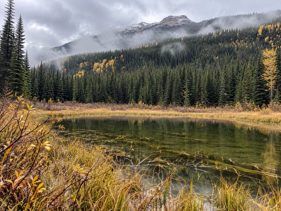 ChallengingHowse Pass Trail42.8 km · 20 hr · 2.4 km awayA remote divide crossing through river flats and nearly vanished trail.
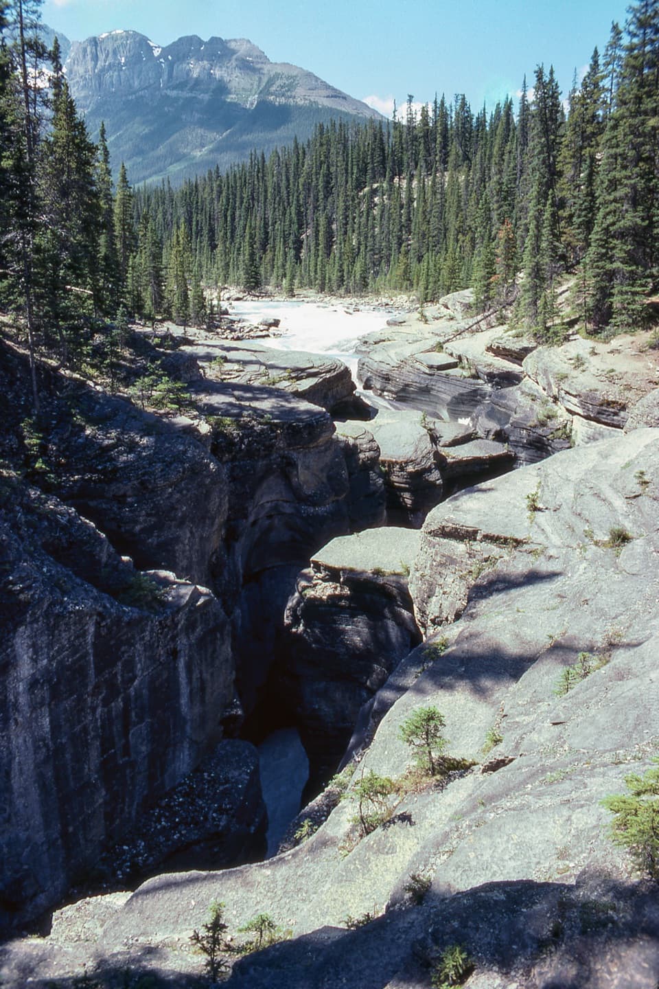 EasyMistaya Canyon Trail1 km · 24 min · 4.6 km awayA short, steep drop to the bridge over a carved limestone gorge.
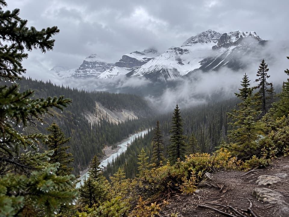 ChallengingSarbach Lookout Trail10.2 km · 4.5 hr · 4.6 km awayA steady forest climb ends at a rocky former lookout.
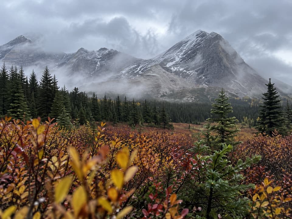 ChallengingSunset Pass Trail16.2 km · 6.5 hr · 14.8 km awayA steep forest climb opens onto remote meadows beneath a high pass.
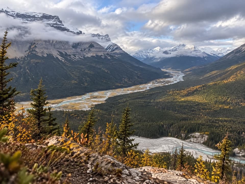 ChallengingSunset Lookout Trail9 km · 3.5 hr · 14.8 km awayA steep climb to a former lookout above two braided river valleys.
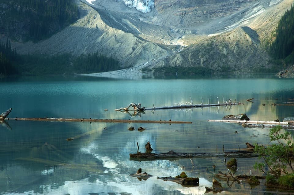 ModerateCirque Lake Trail9.1 km · 3 hr · 17.1 km awayA muddy forest walk to a turquoise lake beneath glacier views.
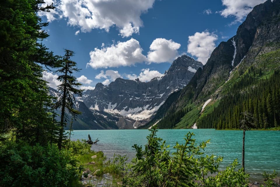 ModerateChephren Lake Trail8.2 km · 2.8 hr · 17.1 km awayA forested out-and-back to Chephren Lake beneath Howse Peak.
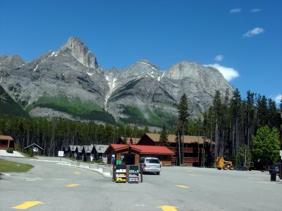 Lodging · 0.8 km awayThe Crossing ResortA remote Parkway stop with beds, meals, and fuel.
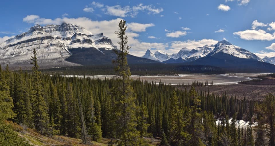 Scenic pullout · 1.5 km awayHowse Pass ViewpointA quick Parkway pause for braided river and mountain views.
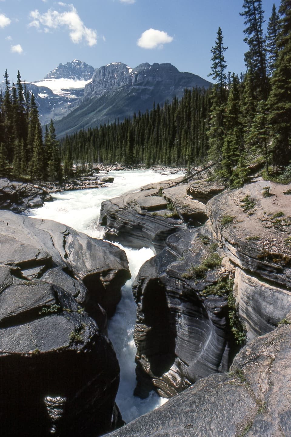 Sight · 4.3 km awayMistaya CanyonA quick bridge stop over a deep, water-carved limestone gorge.
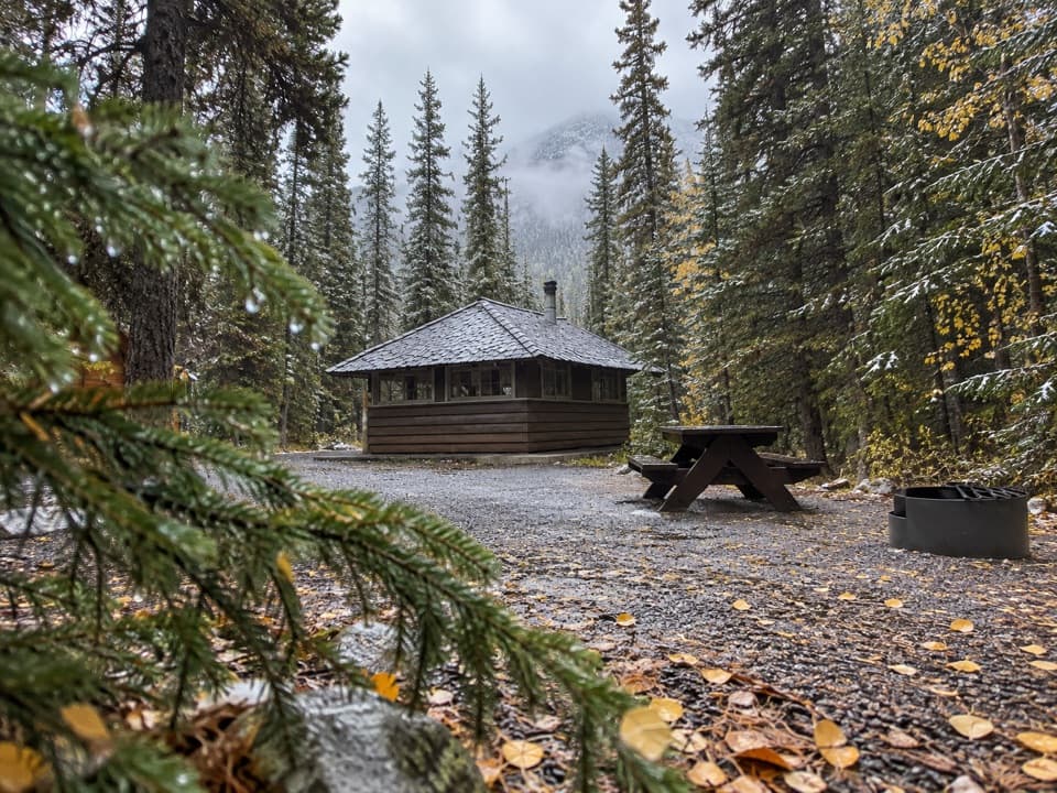 Campground · 10.4 km awayRampart Creek CampgroundA wooded riverside camp for a quieter Icefields Parkway night.
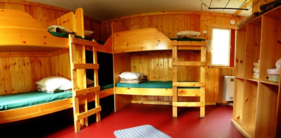 Lodging · 10.5 km awayHI Rampart Creek Wilderness HostelAn off-grid hostel stay with mountain quiet and a shared kitchen.
Parkwolf’s Banff ranking
The audio tour guide for the drive, plus offline maps, trails, and wildlife heatmaps for when the signal drops.





