
Place · 0.8 mi away
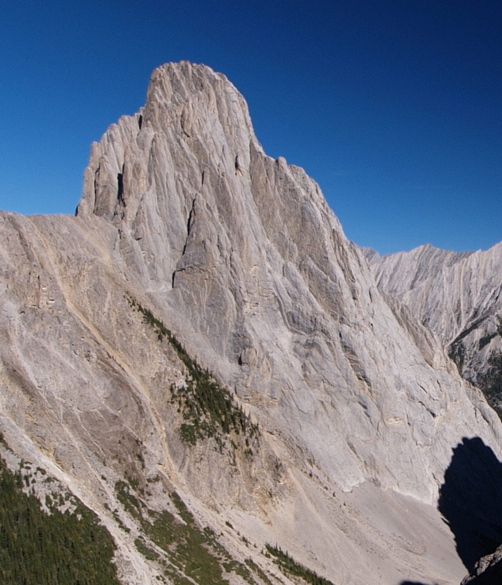
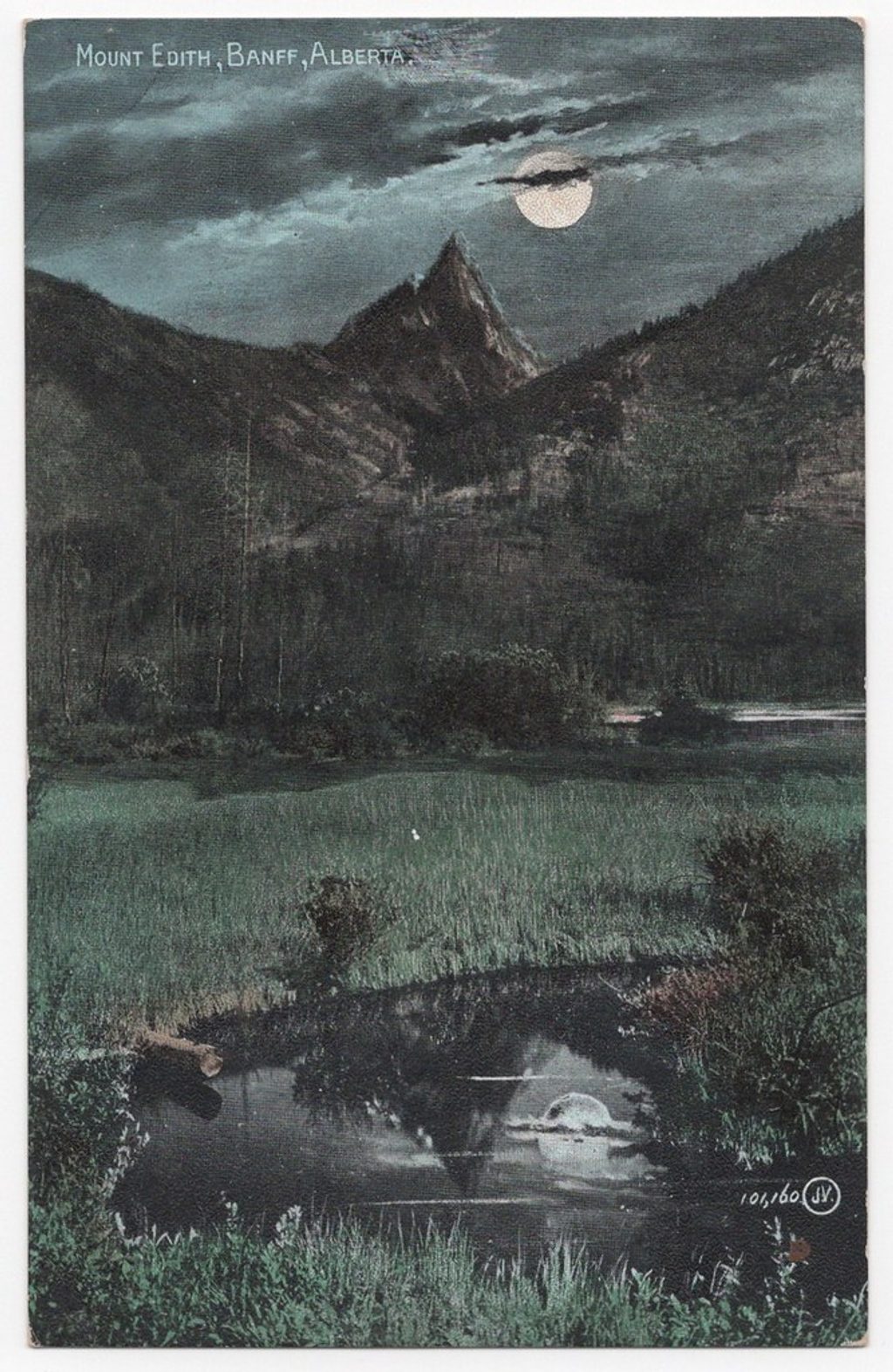
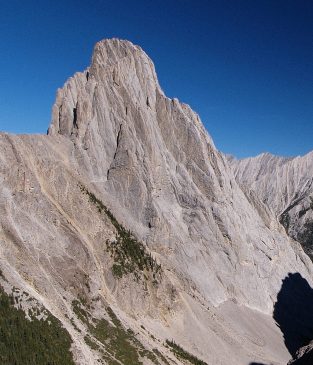
Mount Louis is the dramatic limestone needle you see piercing the skyline in the Sawback Range. It’s a true climber’s mountain—there’s no walk-up option and every route to the top is technical rock. That exclusivity keeps crowds low while giving it near-mythic status among alpine rock climbers.
Expect long, multi-pitch trad days. The classic Kain Route is a lengthy 5.7/5.8 outing (15+ pitches), and there are harder lines like Kor-Fuller and Homage to the Spider. Rope management, efficient transitions, and decisive timekeeping matter—many modern parties still flirt with nightfall. Helmets are a must; while the rock is generally solid, some sections can be broken or loose. You’ll likely spot other teams inching up the face on clear summer weekends.
There’s no signed, formal trailhead or on-site amenities. Approaches use informal climbers’ paths from the Bow Valley area, and parking is typically at nearby, non-dedicated pull-offs or trailheads—plan extra time for the approach and route-finding. Bring everything you need: there’s no water on route, no restrooms, no picnic tables, and no campground at the base. If you’re planning to camp in the backcountry, follow Parks Canada regulations and secure the appropriate permit.
On the approach through subalpine forest, you may encounter elk or deer, and possibly mountain goats or bears. Ravens and other alpine birds often patrol the cliffs. Make noise in brushy sections, carry bear spray, and give any wildlife ample space.
Named in 1886 after surveyor Louis B. Stewart, Mount Louis quickly became a proving ground for North American alpinism. The 1916 first ascent by Conrad Kain and Albert MacCarthy was bold by any era’s standards. Geologically, it’s a tower of Devonian limestone—formed in ancient seas and later hoisted skyward during the Laramide orogeny—creating those sheer, compact faces climbers prize.
July through September offers the most reliable conditions. Start early to manage a full day of climbing plus the descent, and watch for fast-moving mountain weather. Weekdays are quieter; even on summer weekends you won’t see typical tourist crowds because of the technical nature. For photographers, morning or late-day light best sculpts the spire from nearby valleys.
If you’re a competent multi-pitch trad climber, this is a bucket-list summit. If you’re a hiker looking for a casual viewpoint, admire it from the valley—there’s no easy way up.
Place · 0.8 mi away
Place · 1 mi away
Place · 1.9 mi away
Place · 3 mi away
Challenging · 3 mi away
Challenging · 3 mi away
Challenging · 3 mi away
Moderate · 3.6 mi away

Parkwolf Tour Guide
