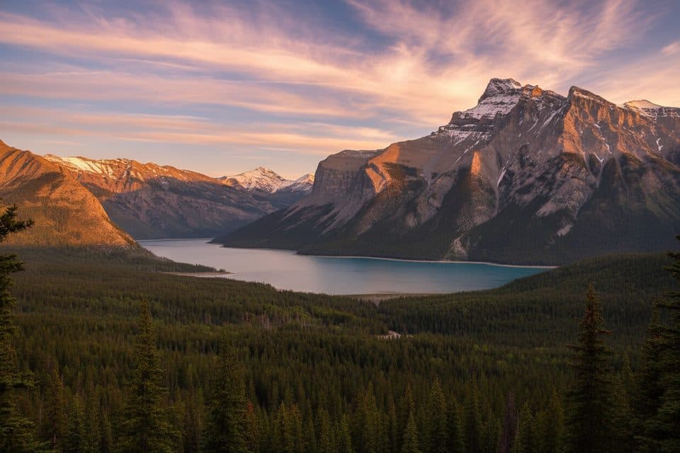
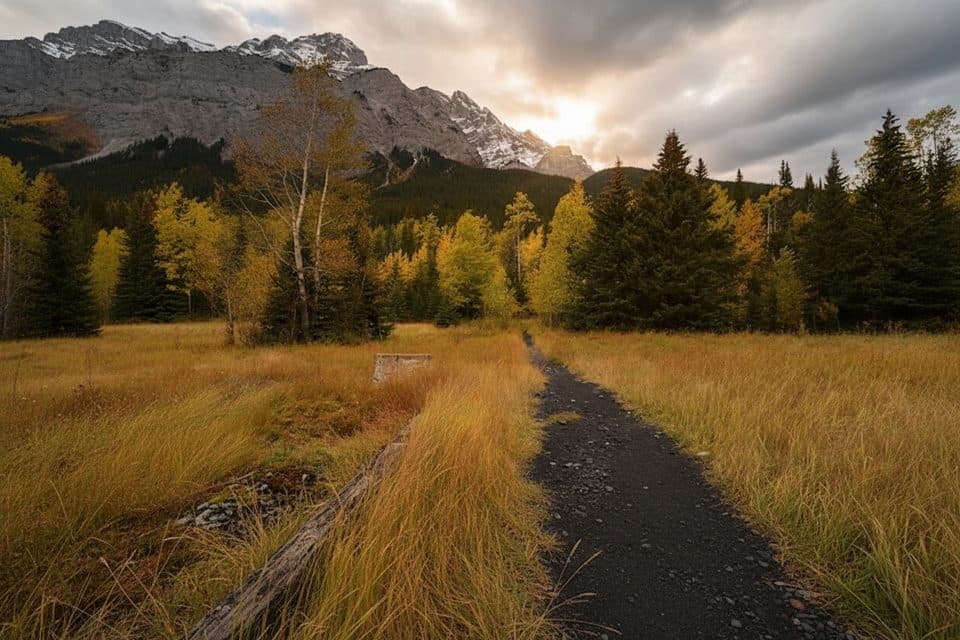
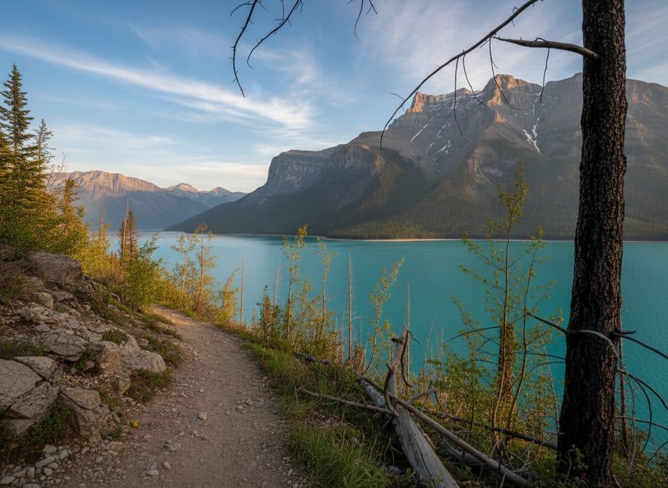
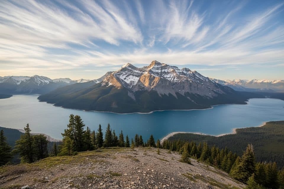
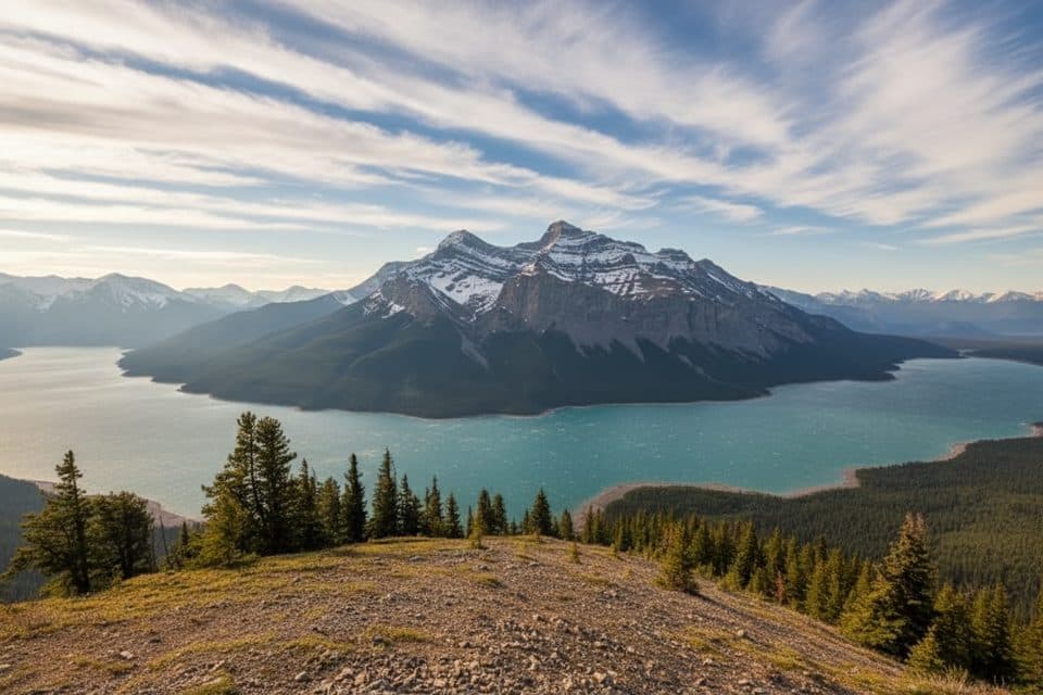
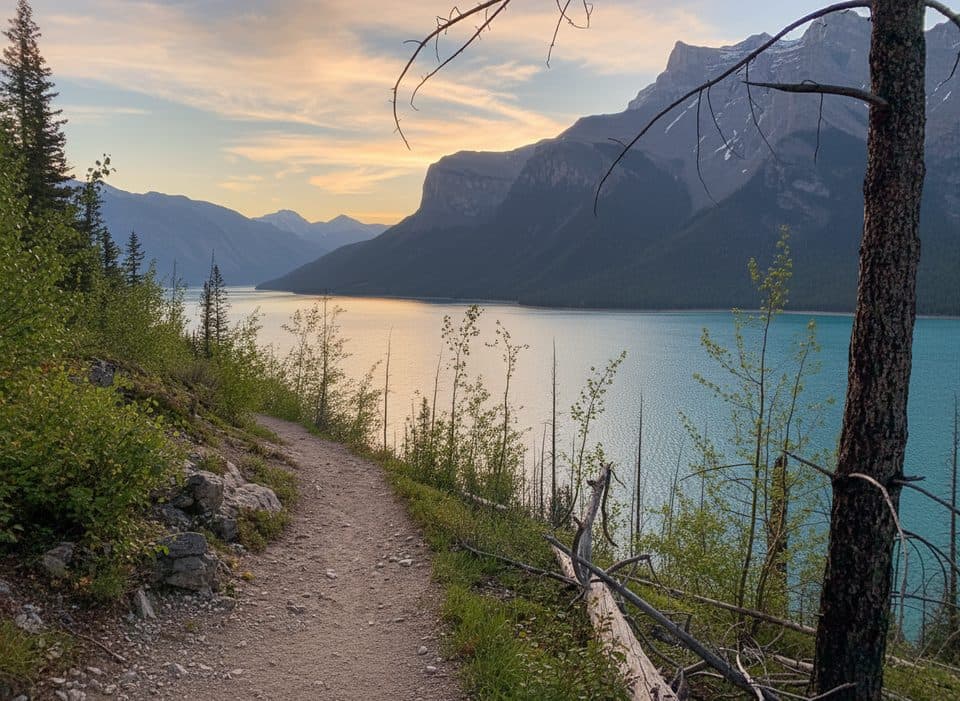
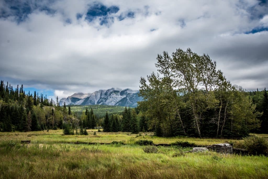
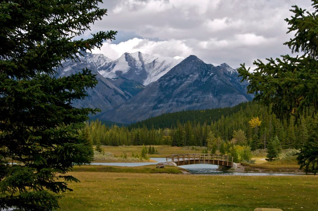
From Upper Bankhead Day-use Area, the route follows a continuous ascent past historic mine foundations and ventilation features before narrowing from a broad gravel approach to rutted, rocky mountain tread. The main visitor route reaches the cirque viewpoint after about 3.8 km; the full out-and-back is about 7.6 km (4.7 miles) with roughly 440 m of gain. Plan on about 3 hours, allowing extra time for the steep upper terrain and photo stops. A higher continuation beyond the mapped cirque viewpoint is a separate, more demanding option—not part of this stored line.