Parking
Use the Lower Bankhead parking area off Lake Minnewanka Scenic Drive; the viewpoint is above the loop, connected by a steep flight of about 70 steps.
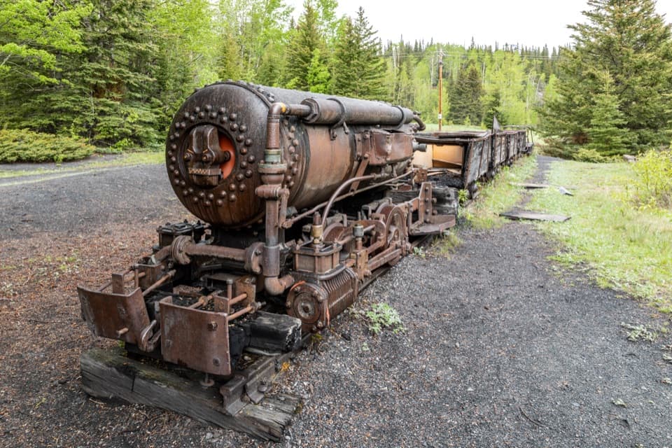
Banff National Park, AB
A short loop through a coal town's industrial remains.
Overview
Map & elevation
Plan your hike

The highest, rockiest slopes around here are a summer buffet for grizzly bears.
Banff Tour Guide
Parkwolf is a GPS audio tour guide for Banff National Park. As you drive, it chimes in with what’s ahead: hidden gems, upcoming stops, history, geology, and wildlife, right through your car’s speakers.
See the Banff audio tourRecorded for this trailhead
Lower Bankhead: Where the Town Went“You’re approaching Lower Bankhead, where a coal-mining town has become a walk among concrete walls, foundations and old machinery.”
Plays as you drive up to this trailhead in the Parkwolf Banff Tour Guide.
More stories near here in the app
“…Loved the commentary as you drove thru. I’m sure the app can do more than I know but the tips were very helpful. I’m gonna use it when we go to Banff next month.”


Trail guide
Lower Bankhead Interpretive Trail is an easy loop of about 0.75 mile (1.2 km) from the Lower Bankhead parking area, down to the former coal-mining townsite and back. Allow 30–45 minutes if you want time to read the plaques. Most of the lower circuit is level, but the start and finish include about 70 steps between the viewpoint and the ruins. Come for the mining history and surviving equipment, not a row of intact ghost-town buildings; much of Bankhead was removed after the mine closed.
Take the stairway down from the viewpoint to the lamphouse, then follow a mostly firm, hard-soil path with exposed root patches through the old-growth spruce. Stay on the signed interpretive loop at the junction beyond the Tipple; the right branch heads toward Cascade Ponds, a separate connector, while the steep climb toward Upper Bankhead and C-Level Cirque is a different hike. The return to the parking area is uphill on the same stairs.
The Pacific Coal Company laid out Bankhead as a company town in 1903–04, and mining was underway by 1904. A briquetting plant opened in 1907 to turn crumbly anthracite into a more useful fuel. After labor disputes, difficult mining conditions and weak coal markets, the mine closed in June 1922. Along the loop, look for the lamphouse, machinery, foundations, boiler-house and briquette-plant ruins, plus a small mine locomotive and its cars. The locomotive is the standout photo stop; step back enough to fit the cars in the frame.
Dogs may come on the trail but must stay leashed and under control; Banff's leash limit is 3 metres.
Wildlife
 123 sightingsGrizzly BearMost seen around 6 AMSighting map
 150 sightingsBrown BearMost seen around 6 PMSighting map
 44 sightingsGray WolfMost seen around 6 AMSighting map
 12 sightingsRiver OtterMost seen around 8 PMSighting map
 69 sightingsMooseMost seen around 8 PMSighting map
 466 sightingsBlack BearMost seen around 9 PMSighting map
Sighting maps show where each species has been reported across Banff. Wildlife moves, so no sighting is guaranteed.
Keep exploring
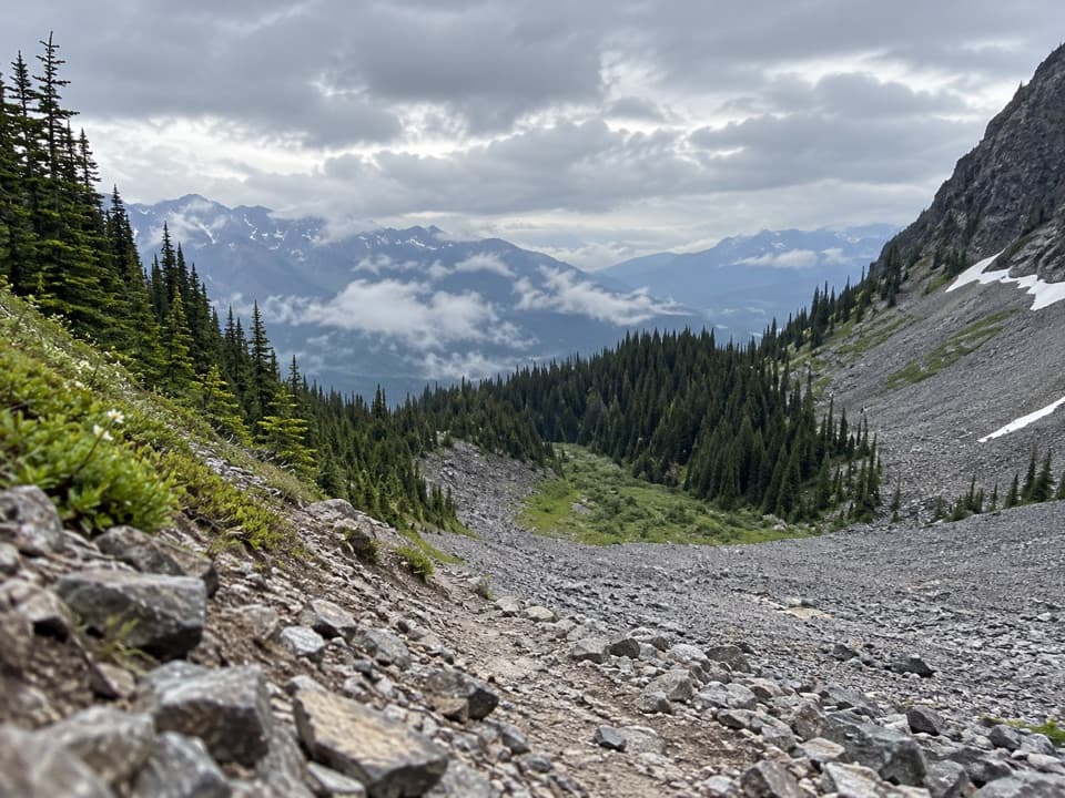 ModerateC-Level Cirque Trail7.6 km · 3 hr · 0.4 km awayMine ruins lead to a boulder-ringed cirque below Cascade Mountain.
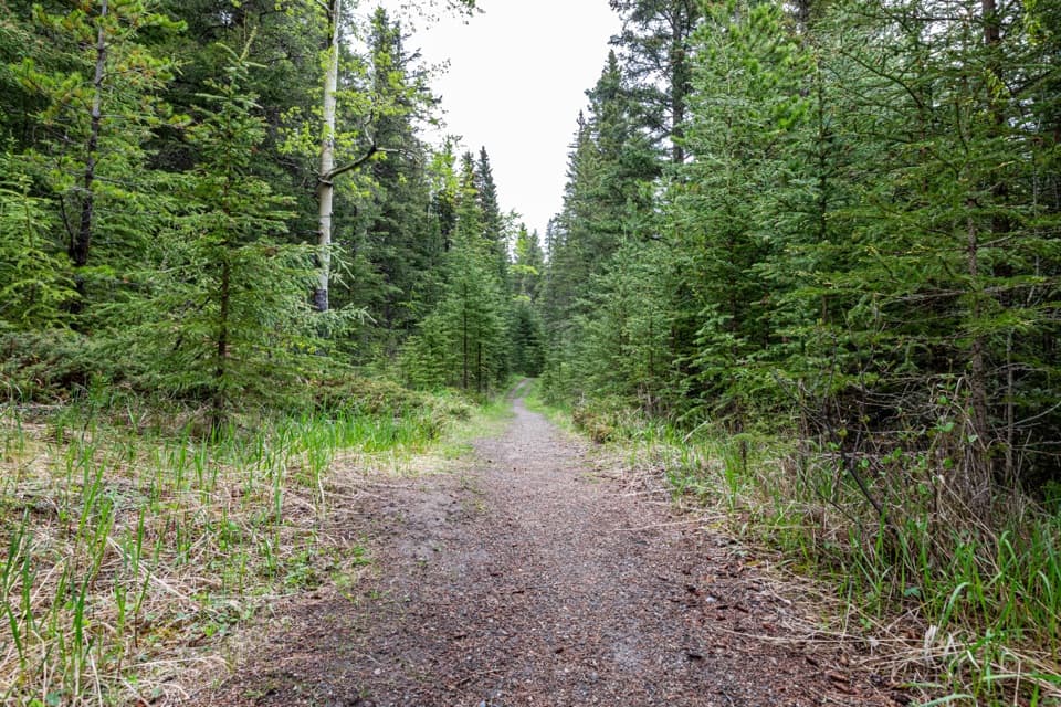 ChallengingCascade Valley Trail29.1 km · 9 hr · 0.4 km awayA long gravel track into Cascade Valley’s backcountry.
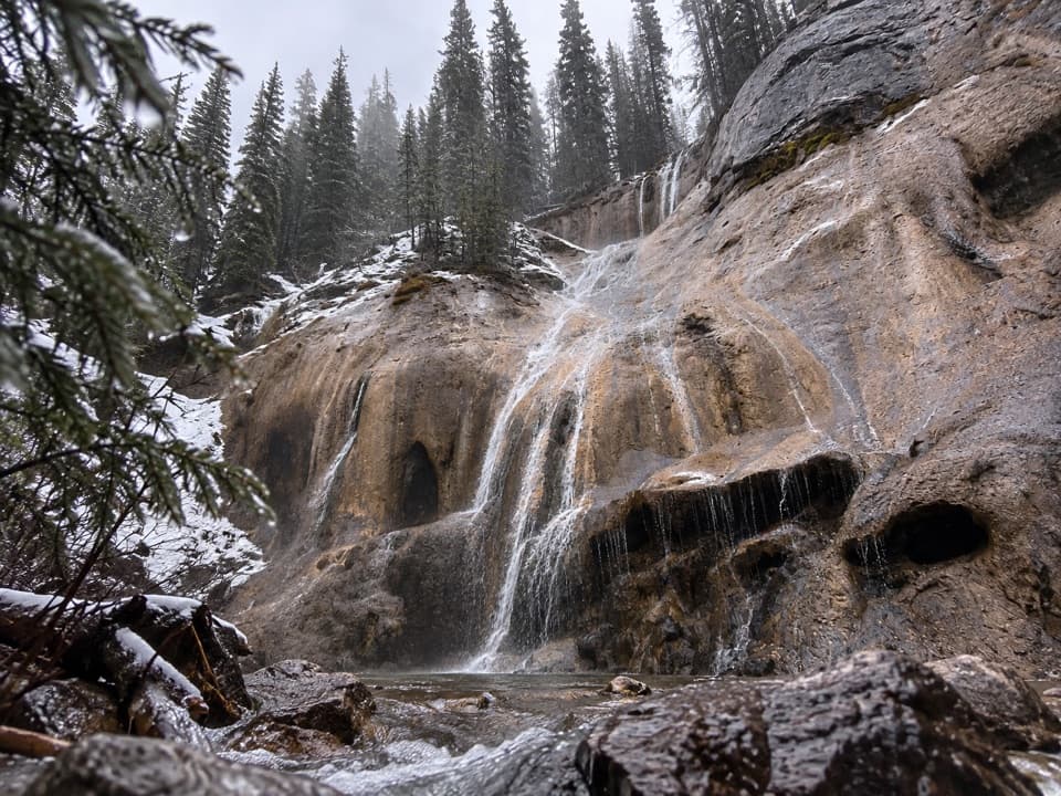 ModerateTessa Falls Trail1.4 km · 45 min · 1.5 km awayA short waterfall walk with an awkward riverbank finish.
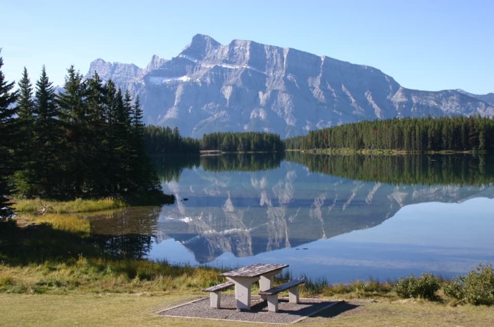 EasyTwo Jack Lake Shoreline Trail2.1 km · 45 min · 1.7 km awayPine needles underfoot, Mount Rundle across the water.
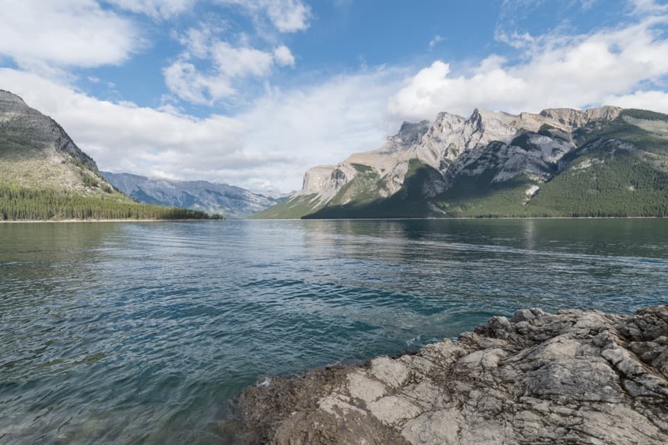 ModerateLake Minnewanka Shoreline Trail22.2 km · 7.5 hr · 2.2 km awayA long, rocky shoreline walk with annual bear-season restrictions.
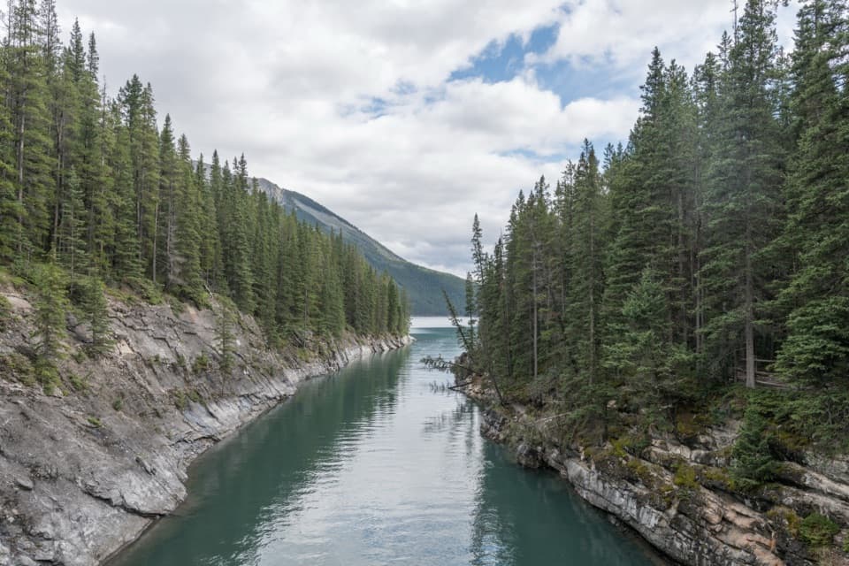 EasyLake Minnewanka Trail to Stewart Canyon3.2 km · 1 hr · 2.2 km awayAn easy lakeshore walk to Stewart Canyon’s footbridge.
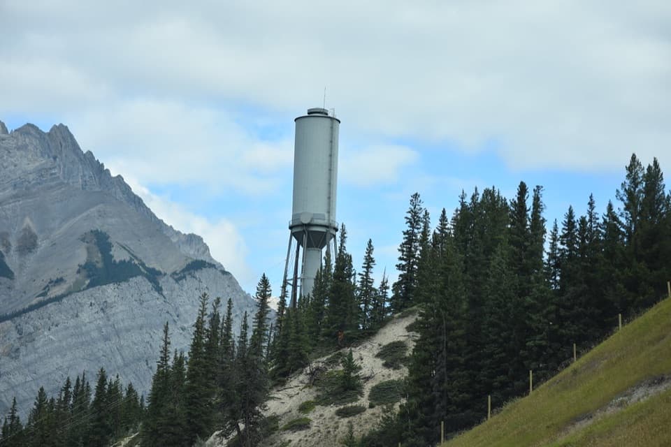 ModerateWater Tower Trail5.9 km · 2 hr · 2.3 km awaySteep stairs lead to singletrack and a clear Bow Valley view.
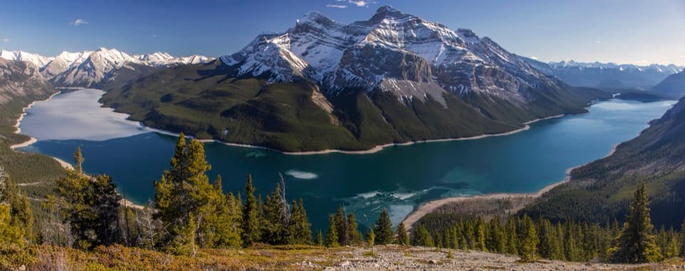 ChallengingAylmer Lookout Trail23.2 km · 7.5 hr · 2.4 km awayA long day on Minnewanka ends with the whole lake below you.
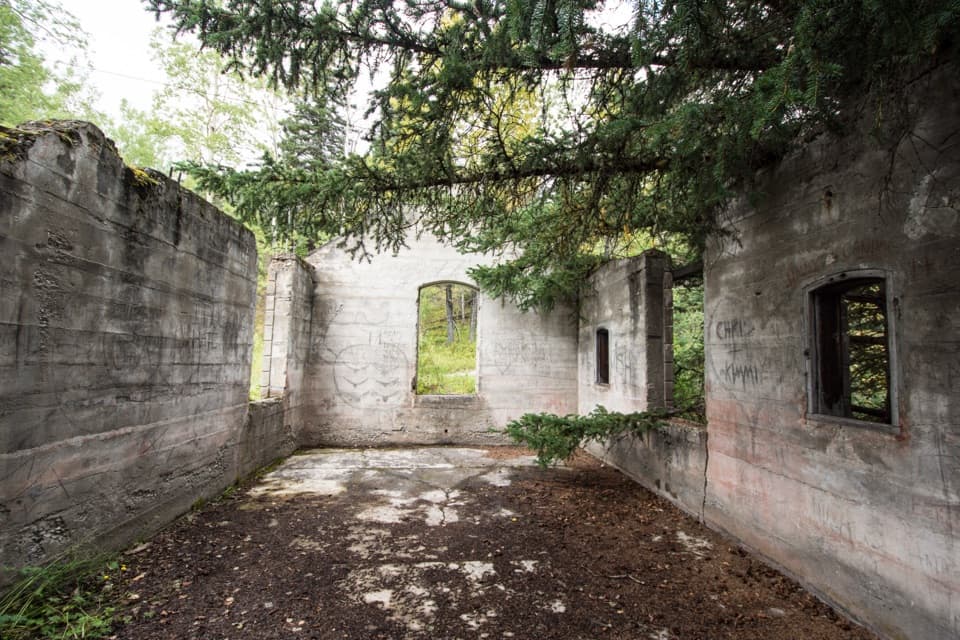 Sight · 0.3 km awayBankhead Ghost TownA coal town reduced to ruins, signs, and old mine machinery.
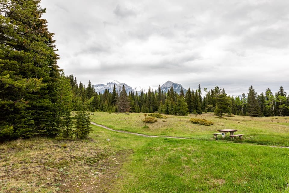 Picnic area · 0.4 km awayUpper Bankhead Day-use AreaA picnic stop that doubles as the C-Level Cirque trailhead.
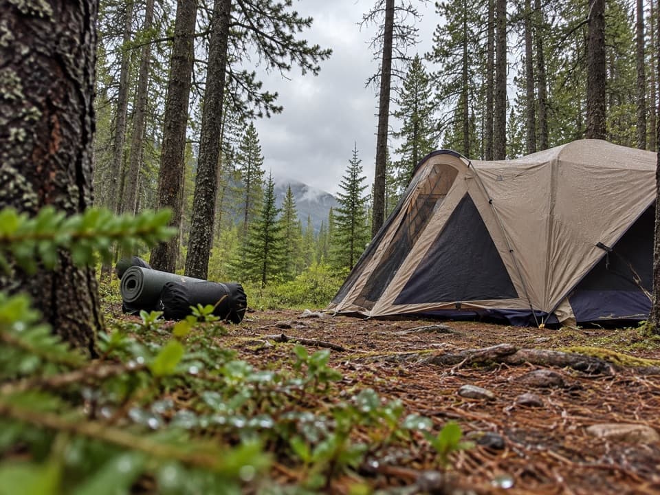 Campground · 1.4 km awayTwo Jack Main CampgroundA wooded, no-hookup base close to Lake Minnewanka.
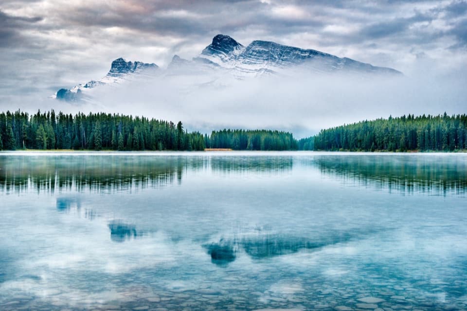 Sight · 1.7 km awayTwo Jack LakeA lakeside picnic and paddle beneath Mount Rundle
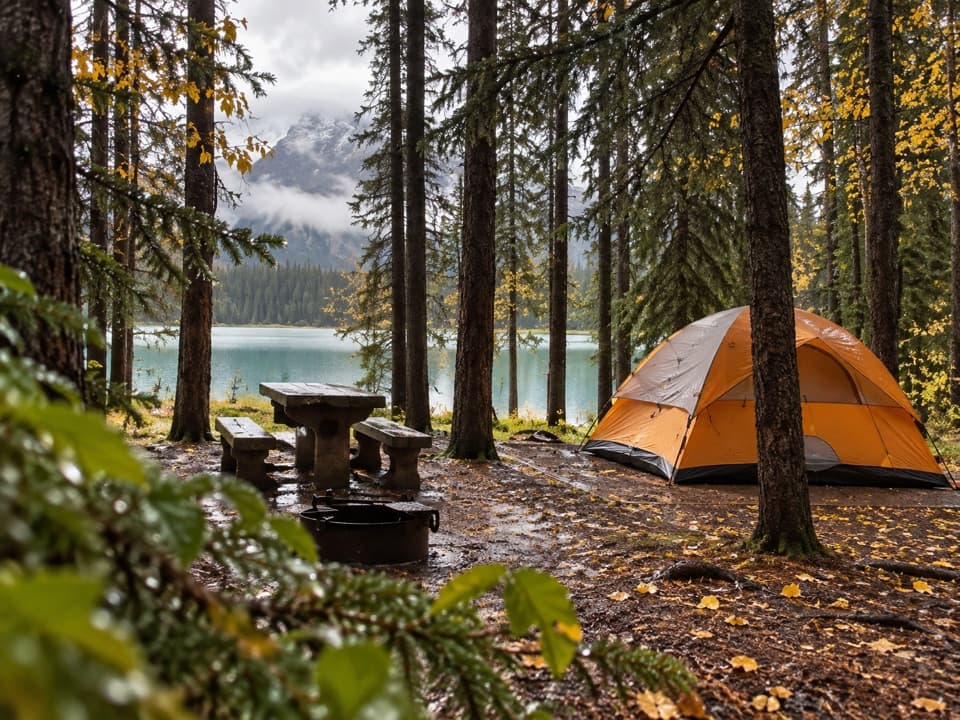 Campground · 1.8 km awayTwo Jack Lakeside CampgroundCamp beside Two Jack Lake, with Banff close by.
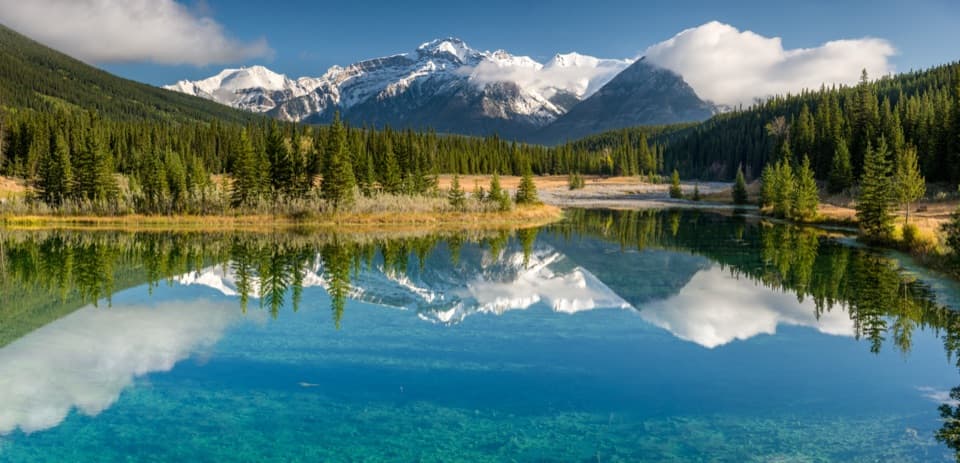 Picnic area · 2.2 km awayCascade PondsA low-effort pond stop for bridges, picnics and mountain reflections.
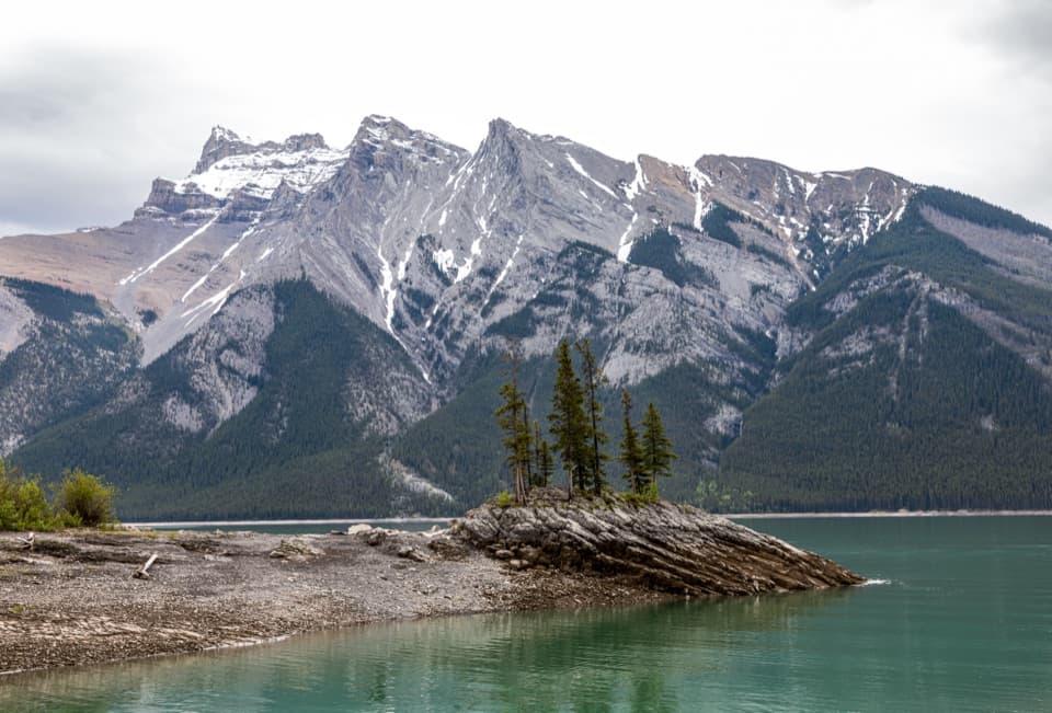 Sight · 2.3 km awayLake MinnewankaA mountain lake with a summer village still underwater.
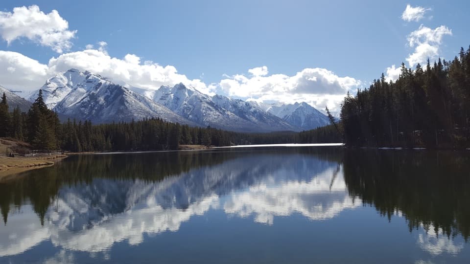 Beach · 4.4 km awayJohnson LakeAn easy lakeshore loop beneath Mount Rundle, with summer swims.
Parkwolf’s Banff ranking

The audio tour guide for the drive, plus offline maps, trails, and wildlife heatmaps for when the signal drops.





