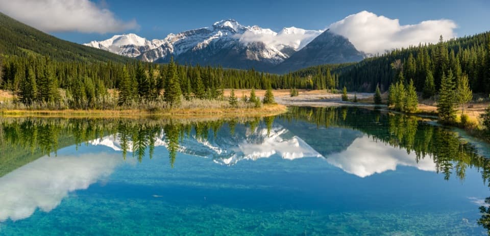
Cascade Ponds in Banff National Park

Picnic area · Banff National Park

Cascade Ponds

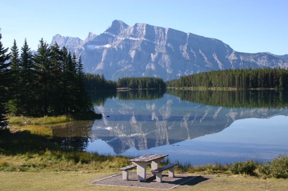
A low-effort pond stop for bridges, picnics and mountain reflections.

Photo: Wikimedia Commons
Type
Picnic area
Nearest trail
0.1 km
Audio stories
14 nearby
  • Picnic tables
  • Restrooms
  • Parking
  • Scenic viewpoint

Hear the audio tour

Cascade Ponds: Bridges, Picnics and a Restored Creek

Overview

About Cascade Ponds

Why stop

  • Easy pond walk with bridges and picnic facilities

Heads up

  • Summer parking can be tight

Map

Where it is

Loading the Banff map
Full map
Picnic areaCascade Ponds51.21424, -115.53114
Keep this map with you offline in the Parkwolf app

Plan your stop

Before you go

8 active Banff alerts

  • ClosureJohnston Canyon Trail and Day Use Area closedJohnston Canyon Trail and Day Use Area are closed to all traffic and travel through December 11, 2026, because construction work requires protecting public and workers’ safety.Official details
  • ClosureBaker Lake and Hidden Lake campgrounds closed to campingCamping is prohibited at Baker Lake and Hidden Lake campgrounds through December 1, 2026, because a grizzly bear entered campsites and investigated tents and gear; the closures reduce risk to…Official details

See all 8 alerts
A park ranger sits on a dash-mounted phone, talking, as Parkwolf’s Tour Guide plays “Army Cutworm Moths: A Grizzly Bear Buffet” on Grand Loop Road below Dunraven Pass in Yellowstone
Parkwolf Tour GuideThe highest, rockiest slopes around here are a summer buffet for grizzly bears.

Banff Tour Guide

Your drive to Cascade Ponds, narrated.

Parkwolf is a GPS audio tour guide for Banff National Park. As you drive, it chimes in with what’s ahead: hidden gems, upcoming stops, history, geology, and wildlife, right through your car’s speakers.

See the Banff audio tour

Recorded for this place

Cascade Ponds: Bridges, Picnics and a Restored Creek
0:00 / 0:34
“Cascade Ponds is coming up, an easy place to stretch your legs among grassy banks and little footbridges beneath Cascade Mountain.”

Plays as you drive up to Cascade Ponds in the Parkwolf Banff Tour Guide.

More stories near here in the app

  • The Bark That Helps a Tree Survive
  • Tunnel Mountain’s Unbuilt Tunnel
  • The Rattle Before the Splash
  • Lower Bankhead: Where the Town Went
  • 185 audio storiesacross Banff’s roads, triggered by GPS as you drive
  • Wildlife heatmapsfor Grizzly Bear, Brown Bear, Gray Wolf, and 13 more
  • Works offlinemaps, 162 trails, 90 places, and audio download before you lose signal
  • CarPlay readysimple controls built for the drive
★★★★★
“…Loved the commentary as you drove thru. I’m sure the app can do more than I know but the tips were very helpful. I’m gonna use it when we go to Banff next month.”
tesja22App Store review
Download Parkwolf on the App StoreGet Parkwolf on Google Play

4.7 from 8,600+ ratings

Guide

More about Cascade Ponds

A relaxed stop on the Lake Minnewanka LoopCascade Ponds is a small day-use picnic area of linked ponds, grassy banks and short paths…

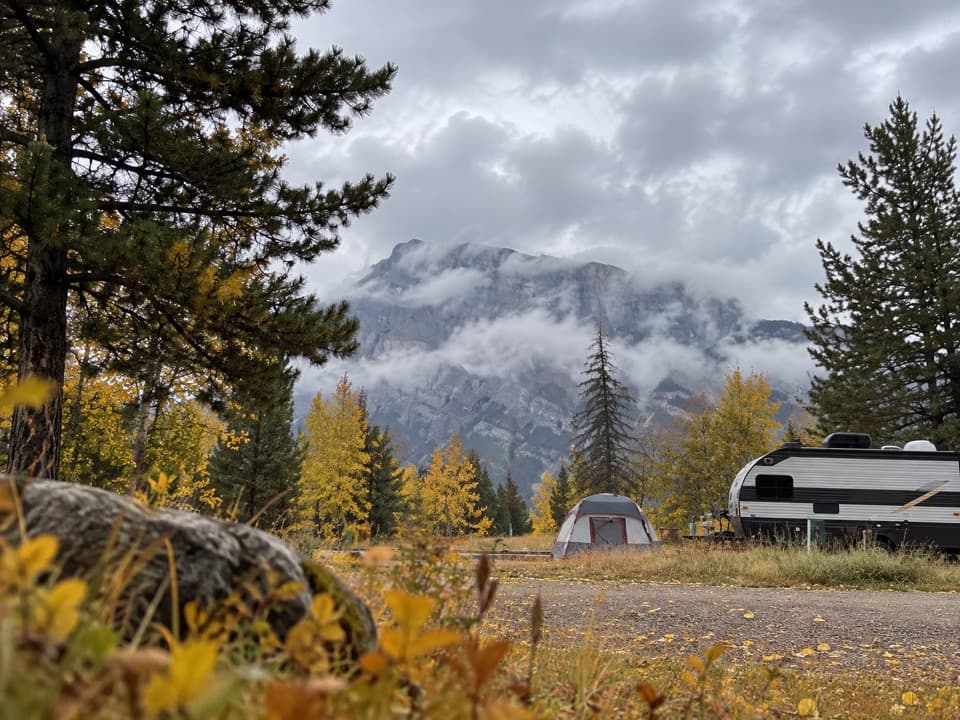
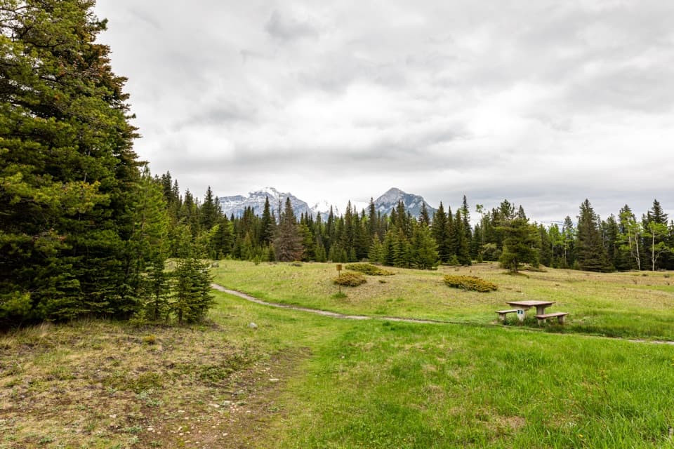
Cascade Ponds is a small day-use picnic area of linked ponds, grassy banks and short paths beneath Cascade Mountain, just off the Lake Minnewanka Loop. About 5 km from Banff, it suits an easy leg-stretch or a picnic; think a short wander and pond views, not a hike with a summit payoff.

Walk the bridges, then lingerShort footbridges connect parts of the pond area.

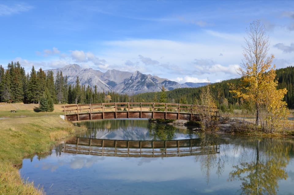
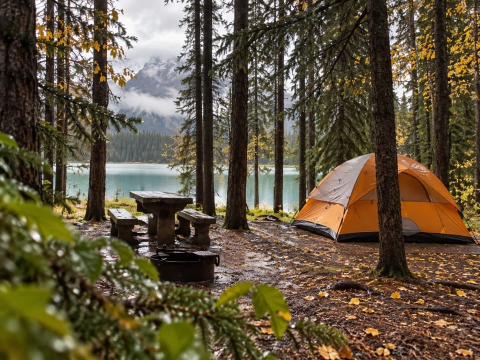
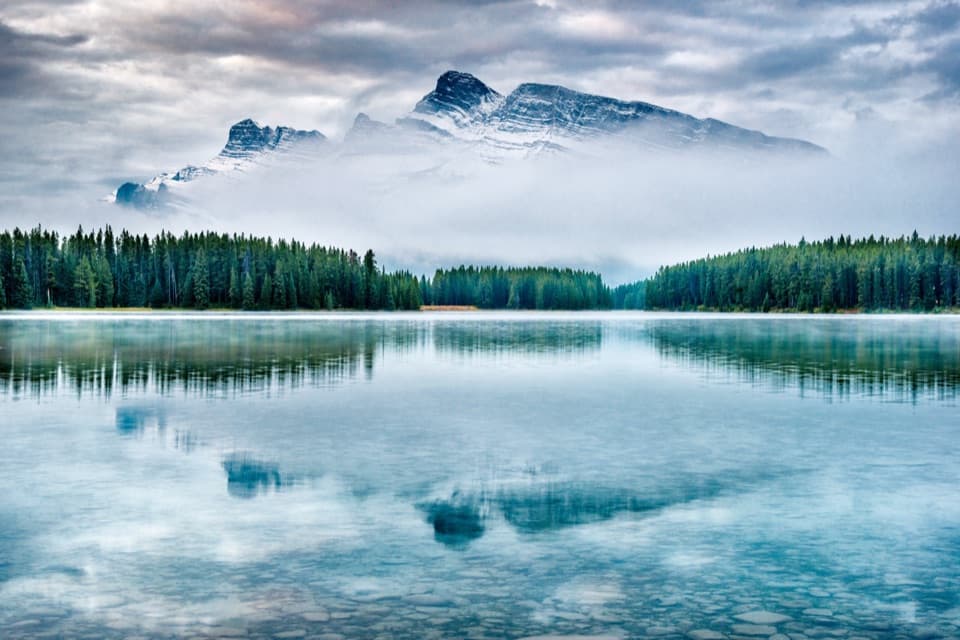
Short footbridges connect parts of the pond area. For a photo, put a bridge in the foreground and look back across the water toward the mountain reflections. Picnic tables, shelters with wood stoves, and metal fire rings or cook stoves make it easy to stay for a meal. Use only the provided rings or cook stoves for fires, and check current park fire rules before lighting one.

Make the stop workReach the ponds from Lake Minnewanka Scenic Drive; seasonal public transit serves the loop.

Reach the ponds from Lake Minnewanka Scenic Drive; seasonal public transit serves the loop. Summer parking is limited and day-use lots can fill quickly, so use designated spaces. Parks Canada lists both flush toilets and outhouses.

A creek reshaped and restoredThe Lake Minnewanka Dam, built in 1941, reduced Cascade Creek to a trickle.

The Lake Minnewanka Dam, built in 1941, reduced Cascade Creek to a trickle. During the 2013 flood, Parks Canada opened the dam’s spillway for the first time to prevent the dam from flooding, and the surge scoured the creek channel. Later work replaced undersized culverts and added three boulder runs and 16 riffle-pool sequences to rebuild habitat for native westslope cutthroat trout.

Wildlife

Wildlife in Banff

All Banff wildlife maps

Sighting maps show where each species has been reported across Banff. Wildlife moves, so no sighting is guaranteed.

Keep exploring

Near Cascade Ponds

See it all on the map

Trails nearby

More stops nearby

Parkwolf’s Banff ranking

Top sights in Banff

All 90 places
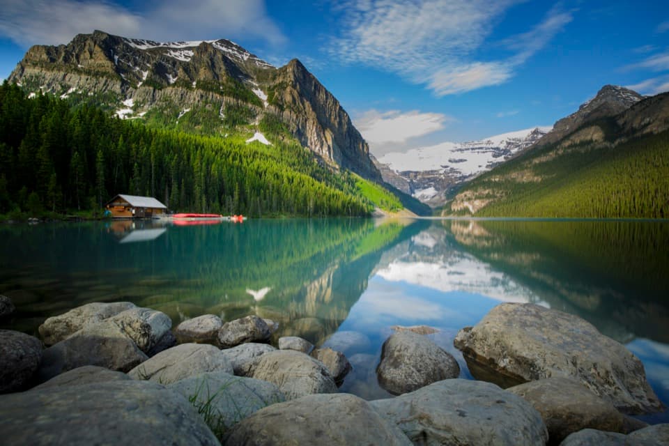
  1. 1Lake LouiseSight
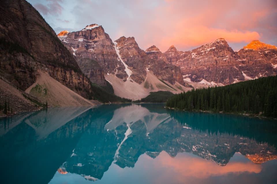
  2. 2Moraine LakeSight
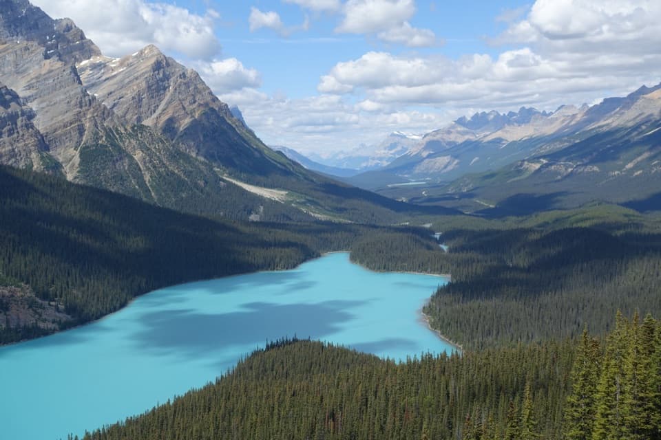
  3. 3Peyto Lake ViewpointSight
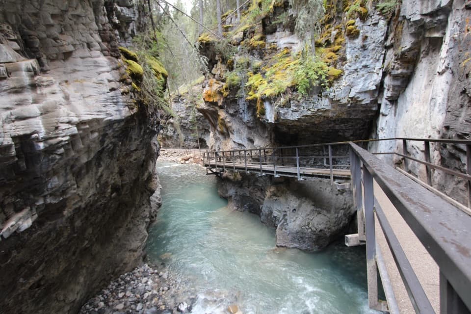
  4. 4Johnston CanyonSight
  5. 5Banff GondolaSight
  6. 6Cave and Basin National Historic SiteSight

Take Parkwolf to Banff.

The audio tour guide for the drive, plus offline maps, trails, and wildlife heatmaps for when the signal drops.

4.7 from 8,600+ ratings

Download Parkwolf on the App StoreGet Parkwolf on Google Play