
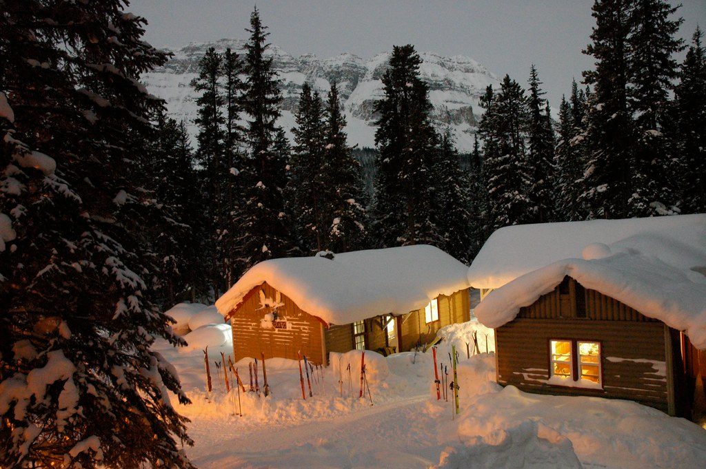
Place · 0.1 mi away
Challenging
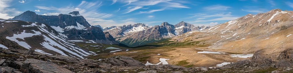
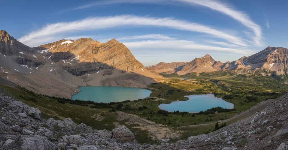
If you crave solitude, big alpine passes, and ridiculous lake color, Devon Lakes delivers. This is a remote, multi-day backpack through classic Banff high country—quiet meadows, open passes, and a turquoise basin that feels a world away from the parkway crowds.
Plan on 34–37 miles (55–60 km) total for an out-and-back, with 1,300–1,500 m (4,300–4,900 ft) of cumulative gain depending on side trips. Start across from the Mosquito Creek Hostel on the Icefields Parkway, climb to North Molar Pass, drop to Fish Lakes (the natural base), then continue over Pipestone Pass into Clearwater Pass and down to the Devon Lakes basin. Strong hikers sometimes push a big day from Fish Lakes to Devon Lakes and back; others camp at Devon Lakes to linger.
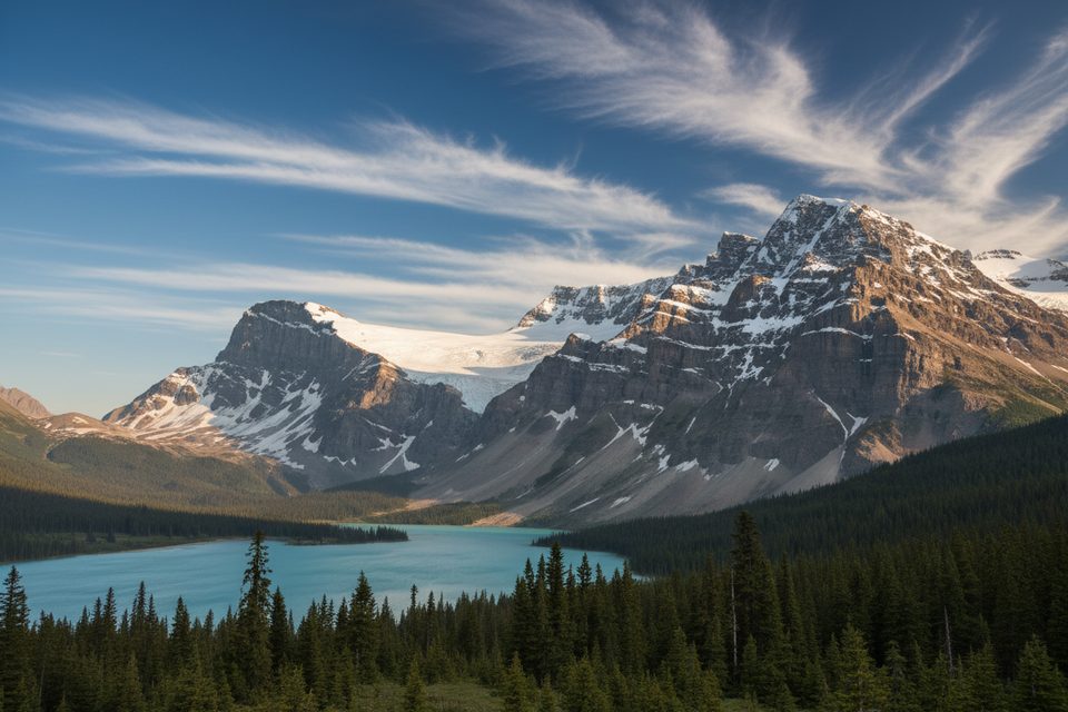
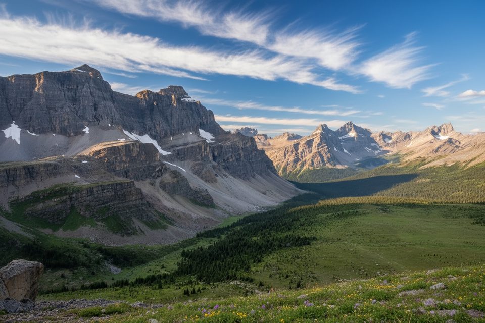
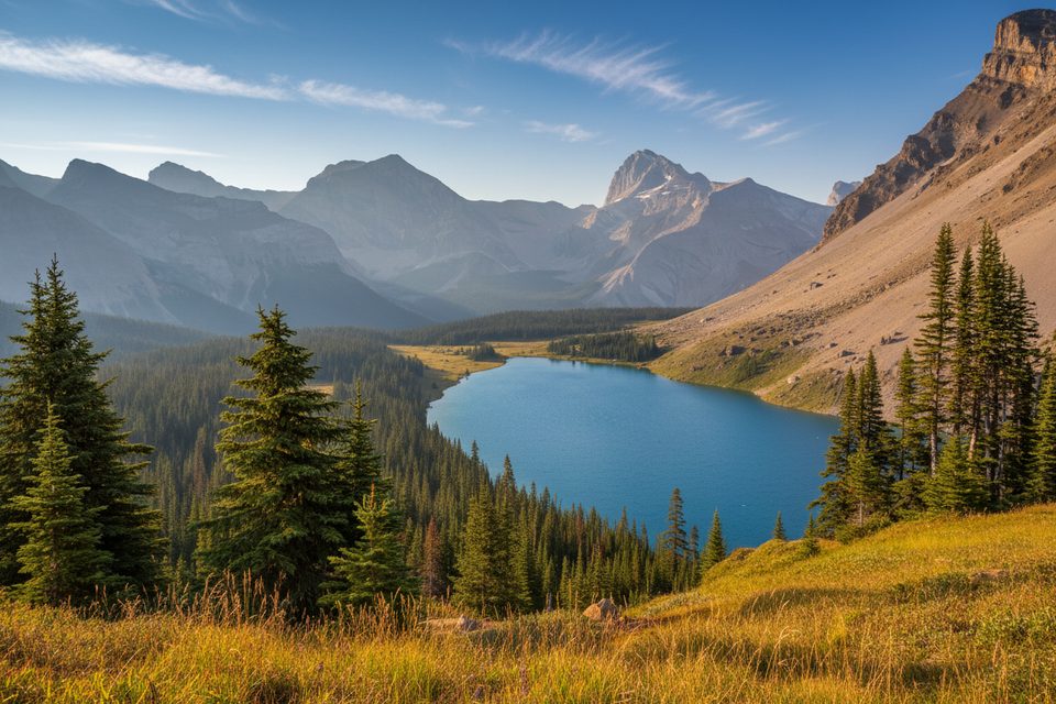
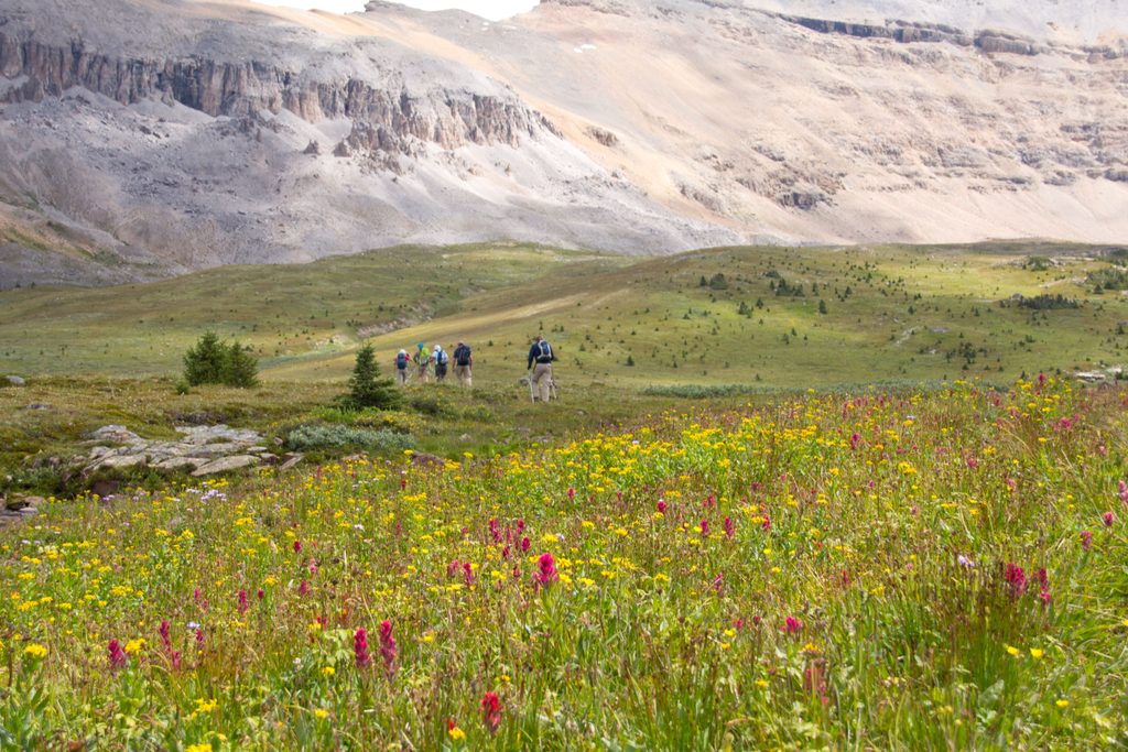
Expect dense subalpine forest giving way to wide, flower-bright meadows and broad views from multiple passes. Fish Lakes and Moose Lake are classic postcards on the approach. The payoff is the Devon Lakes basin—clear, turquoise water ringed by rugged, glacier-capped peaks. From Upper Devon Lakes, the outlook down the grassy Clearwater Valley is a standout viewpoint in the Rockies. Wildlife is very much at home here: marmots and pikas whistle from talus, mountain goats sometimes dot the slopes, and you’re in true bear country—act accordingly.
The trail is well-defined to Fish Lakes, sometimes shared with horse outfitters. Beyond, it’s quieter and rougher: occasional boggy stretches, routine creek hops, and sparser signage. Navigation is straightforward in clear weather but can get tricky in fog, fresh snow, or near the open Molar Pass area—carry a map/GPS and know how to use it.
Most parties overnight at Fish Lakes; some add a night at Devon Lakes. The Devon basin can be windy (there are rock windbreaks), so pitch thoughtfully. Backcountry permits are required—book through Parks Canada and plan early in peak season.
Late July through early September is prime. Earlier in summer, snow often lingers on passes and creek crossings can be pushy. Even mid-summer can bring cold rain, sleet, or surprise snow at elevation, and the wind in the Devon basin is no joke. Aim for stable late-summer windows for the best travel and wildflower displays.
This is one of Banff’s finest wilderness backpacks: long, committing, and absolutely worth it for experienced, self-sufficient hikers. If you’re new to backcountry travel, cut your teeth on a shorter objective first—this one doesn’t hand out easy wins.
Park at the Mosquito Creek trailhead on the Icefields Parkway (Hwy 93), across from the Mosquito Creek hostel/campground.
Remote multi-pass route with changeable weather, strong winds, lingering early-season snow, boggy tread and creek crossings, sparse signage beyond Fish Lakes, and active bear habitat—carry navigation tools and practice bear safety; backcountry permit required for overnight use.
Place · 0.1 mi away
Place · 3.4 mi away
Place · 3.7 mi away
Place · 4.5 mi away
Challenging · 0 mi away
Challenging · 0 mi away
Challenging · 0 mi away
Challenging · 0 mi away

Parkwolf Tour Guide
