
Place · 0.1 mi away
Challenging
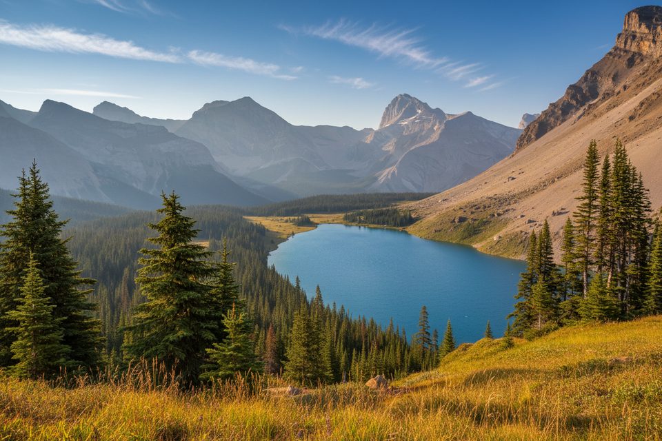
If you’re chasing a big-mountain payoff without committing to a full traverse, Fish Lakes via North Molar Pass delivers. It’s a long out-and-back with about 18.4 miles total and roughly 3,701 feet of gain, rolling from mossy forest and creekside walking to wildflower meadows, a panoramic pass, and a swoop into a turquoise lake basin. It’s often called one of Banff’s best backpacking trips—stunning, varied, and rewarding—so long as you’re prepared for real effort.
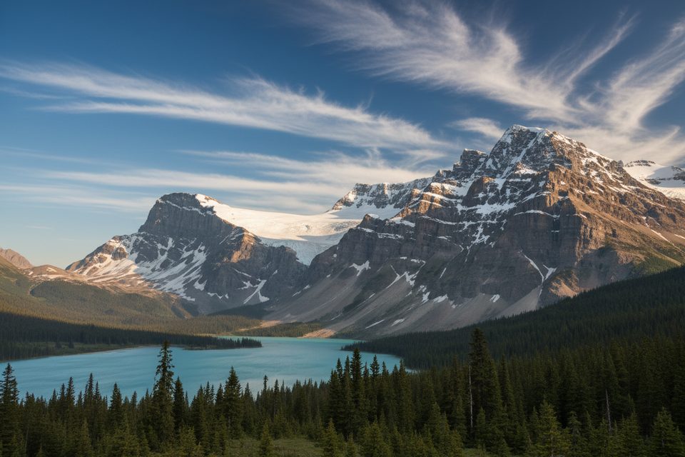
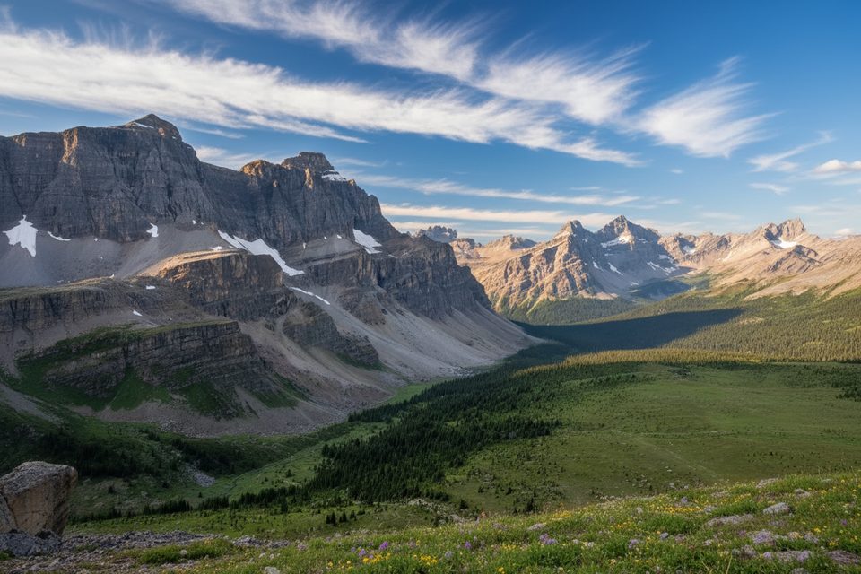
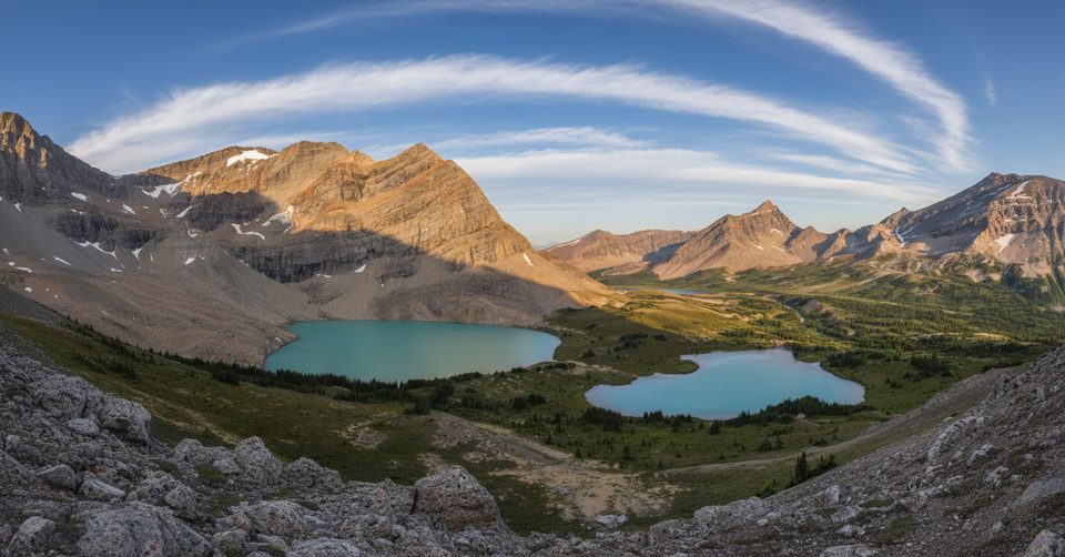
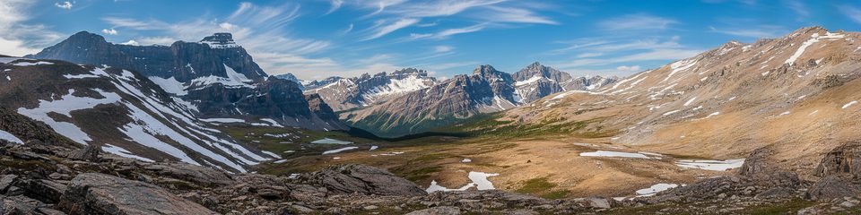
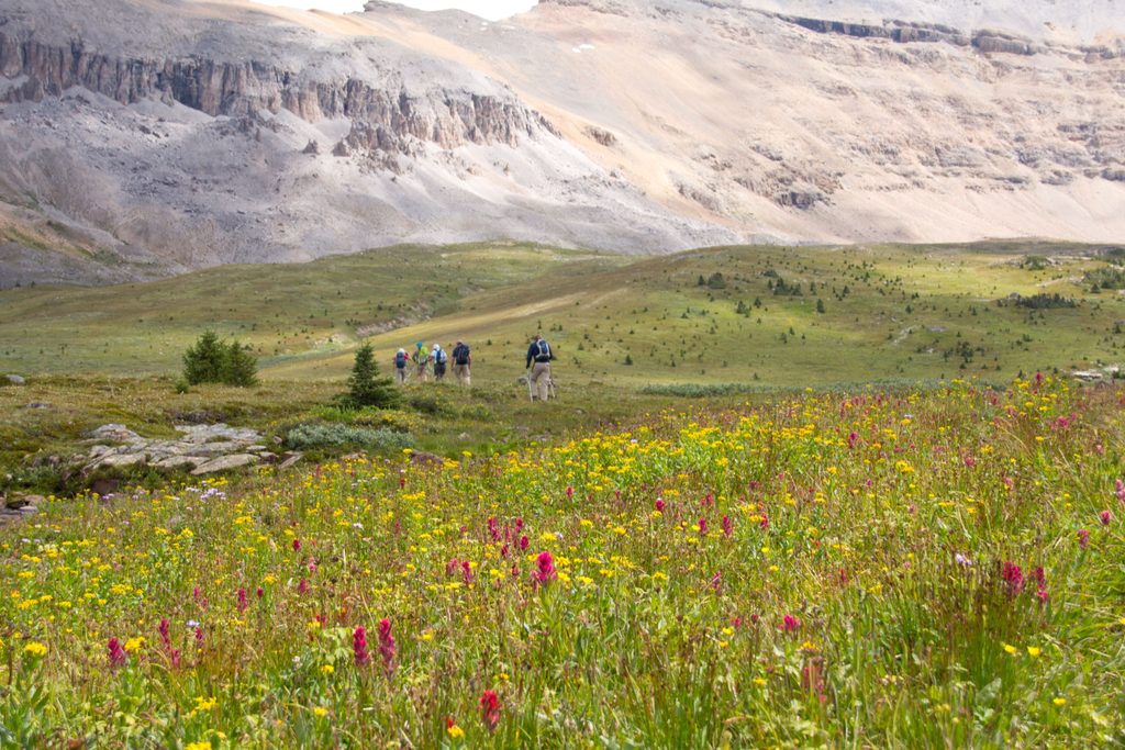
From the Mosquito Creek trailhead, you’ll start with a short, steep grunt through forest before the grade moderates. Expect rooty tread, mud pockets, and rocky bits along the creek; most big crossings are bridged, but you can still hit shallow water and boggy sections. The approach to North Molar Pass opens into expansive meadows (prime for summer wildflowers), then climbs more steeply to the high, airy pass with big views over Bow Valley, Dolomite Peak, and the Fish Lakes basin. The descent toward the lakes is steeper and can be braided. The Fish Lakes campground sits just inside the trees beside the water.
Plan on 29.6 km/18.4 miles round trip and about 1,128 m/3,701 ft of total ascent. Strong hikers sometimes push it as a very long day, but most people are happier spreading it over 2–3 days. Typical travel time is 6–8 hours each way—about 12–16 hours total moving time—so budget accordingly.
Sweet spot is late July through September: snow has usually melted, meadows bloom in July–August, and larches flare gold in September (nights get colder and early snow is possible). Earlier in the season, lingering snow can make the pass sketchy and the trail soggier. Smoke can also affect views and enjoyment during wildfire periods—wait for a clear window if you can.
Overnighters need a Parks Canada backcountry reservation; Fish Lakes (Mo18) is the lakeside prize, with Mosquito Creek (Mo5) as a handy en route option. Sites are in demand—book early. Carry bear spray and keep it handy; bears frequent the area, and porcupines are known around camp. Expect mosquitoes mid-summer near water. The trail is generally well marked, but bring a proper topo (Hector Lake 82N/9) or an offline GPS. Leave No Trace is strictly enforced.
Bring gaiters for the muddy, rooted stretches—your socks will thank you. If you have an extra day in the basin, a high alpine extension traverses above Fish Lakes toward the Pipestone Alpine Highline/Devon Lakes area for even bigger views. Dogs are allowed on leash; keep them close, especially near wildlife and around camp.
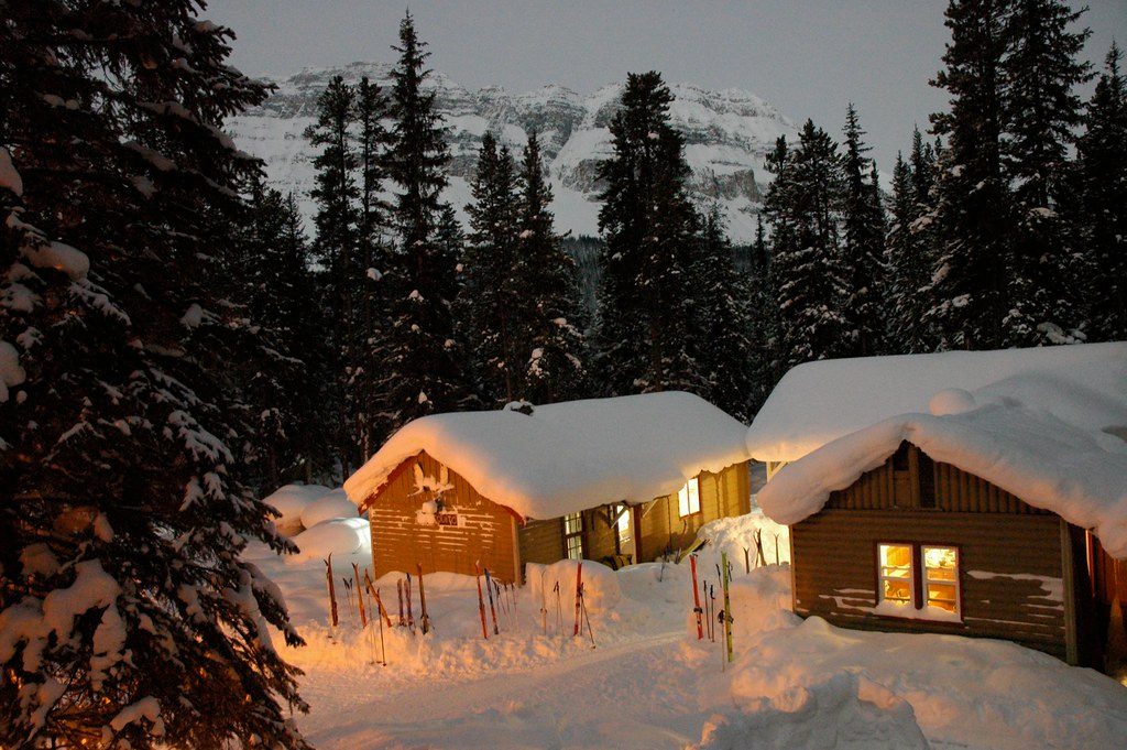
Park at Mosquito Creek (campground/hostel area) along the Icefields Parkway; pick up the trail by crossing the highway or creek as signed.
Long, committing backcountry outing with steep pass, mud, and variable weather; lingering early-season snow, mosquitoes, bears and porcupines near camp; some minor unbridged water and braided trail sections.
Place · 0.1 mi away
Place · 3.4 mi away
Place · 3.7 mi away
Place · 4.5 mi away
Challenging · 0 mi away
Challenging · 0 mi away
Challenging · 0 mi away
Challenging · 0 mi away

Parkwolf Tour Guide
