Parking
Use the signed Mosquito Creek Trailhead parking area just south of the Mosquito Creek Campground turnoff on Hwy 93N. The campground is next to HI Mosquito Creek Hostel; cross Hwy 93N carefully at the trail access.
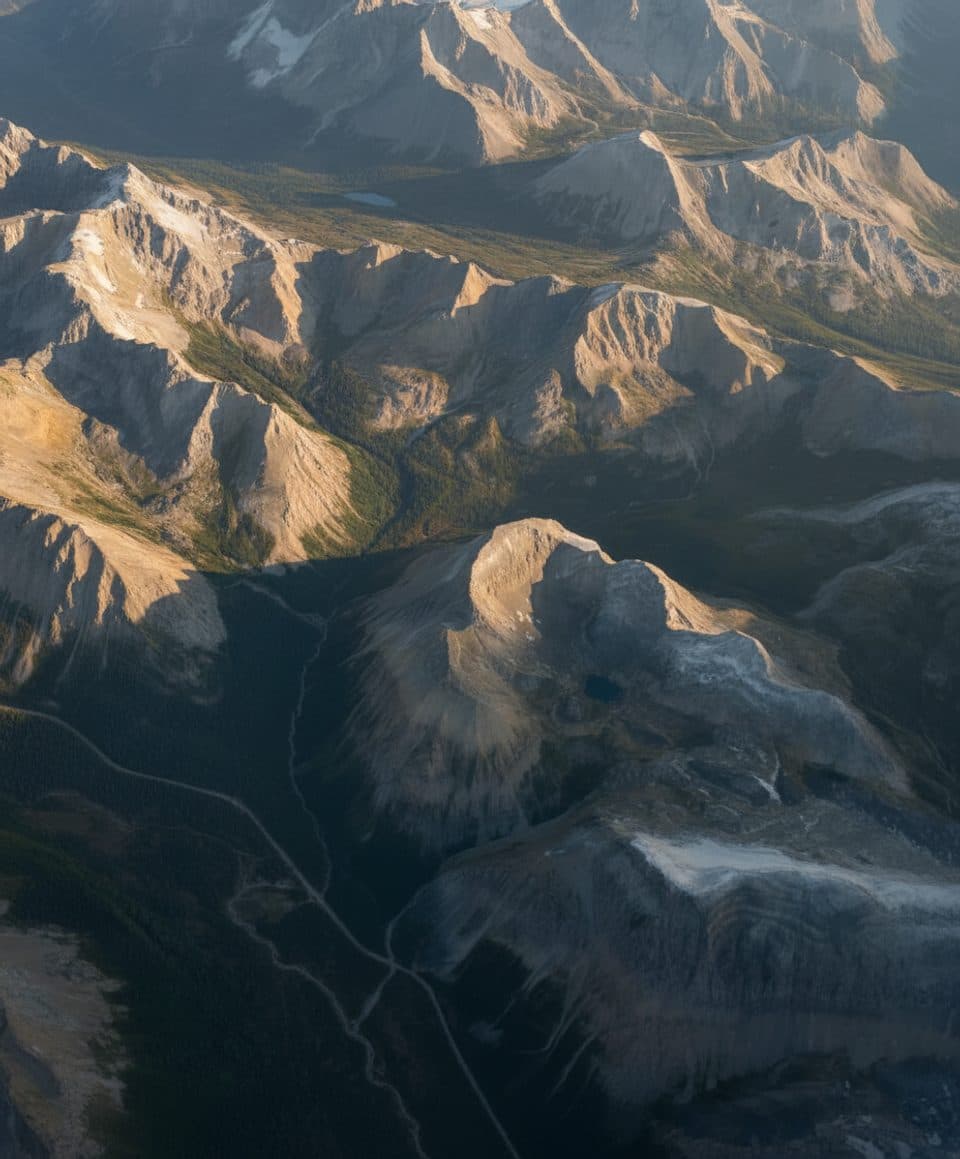
Banff National Park, AB
Quiet creek-valley approach to Banff’s Mo5 backcountry campground.
Overview
Mosquito Creek is a quiet Banff backcountry introduction that follows a forested valley beside the creek to the Mo5 Mosquito Creek backcountry campground. The route is a good choice for hikers who want a relatively gentle overnight approach away from the park’s busiest day hikes, with bridges, forest, open clearings and views toward the surrounding limestone peaks.
 Parkwolf’s verdictWhy go
Map & elevation
Plan your hike

The highest, rockiest slopes around here are a summer buffet for grizzly bears.
Banff Tour Guide
Parkwolf is a GPS audio tour guide for Banff National Park. As you drive, it chimes in with what’s ahead: hidden gems, upcoming stops, history, geology, and wildlife, right through your car’s speakers.
Recorded for this trailhead
HI Mosquito Creek: Wilderness Hostel and Alpine Trails“The cluster of cabins coming into view is the HI Mosquito Creek hostel, a true wilderness base right on the parkway. This is a very rustic, off-grid kind of place, popular with hikers and climbers.”
Plays as you drive up to this trailhead in the Parkwolf Banff Tour Guide.
More stories near here in the app
“…Loved the commentary as you drove thru. I’m sure the app can do more than I know but the tips were very helpful. I’m gonna use it when we go to Banff next month.”


Trail guide
Start from the Mosquito Creek Trailhead near the Icefields Parkway and follow the continuous creek-valley path east and then north toward Mo5. The stored line follows the mapped trail corridor once, from the trailhead to the campground approach; the visitor distance is the return trip. The route climbs gradually overall, with a few steeper sections near the start and typical rocky or rooty backcountry tread. The trail ends in the Mo5 campground area, where overnight use requires the appropriate Parks Canada backcountry reservation and permit.
The Mosquito Creek Trailhead–Mo5 leg is about 5.0 km one way on the current Parks Canada backcountry map, or roughly 10.0 km (6.0 miles) round trip. The mapped corridor is 4.8 km to the trail terminus near the campsite; the visitor distance is rounded to the official five-kilometre one-way convention. Molar Pass and North Molar Pass continue beyond this area as separate, substantially longer and more difficult objectives; they are not part of the stored Mosquito Creek Trail route.
The valley is most accessible in the warmer hiking season, but snow and wet or muddy sections can persist early and late in the season. Mosquito Creek is bear country, and there is no cell coverage along the Icefields Parkway campgrounds or in the valley. Carry bear spray, download navigation beforehand, and treat creek water before drinking. Bridges help with creek crossings, but high water and changing backcountry conditions still require care.
Use the signed Mosquito Creek Trailhead parking area just south of the Mosquito Creek Campground turnoff on Hwy 93N. The campground is next to HI Mosquito Creek Hostel; cross Hwy 93N carefully at the trail access. A valid national park pass is required, and Mo5 camping requires a backcountry permit and reservation.
Wildlife
 122 sightingsGrizzly BearMost seen around 6 AMSighting map
 150 sightingsBrown BearMost seen around 6 PMSighting map
 44 sightingsGray WolfMost seen around 6 AMSighting map
 12 sightingsRiver OtterMost seen around 8 PMSighting map
 67 sightingsMooseMost seen around 8 PMSighting map
 465 sightingsBlack BearMost seen around 9 PMSighting map
Sighting maps show where each species has been reported across Banff. Wildlife moves, so no sighting is guaranteed.
Keep exploring
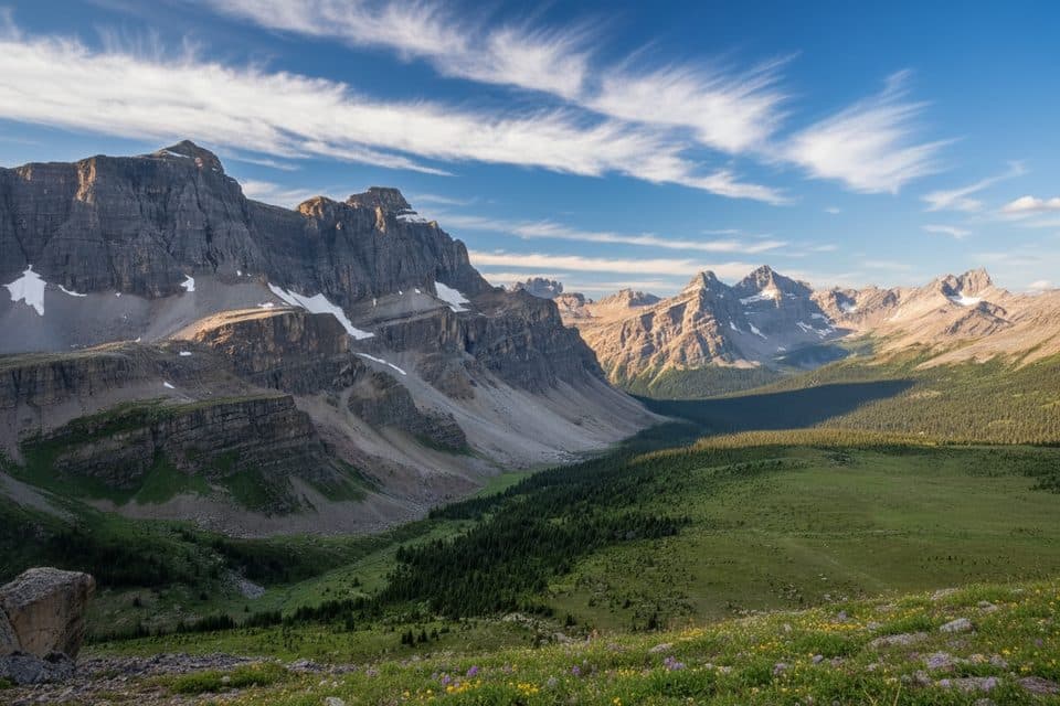 ChallengingMolar Pass19.6 km · 7.5 hr · At the trailheadBig alpine meadows to a dramatic high pass with real solitude
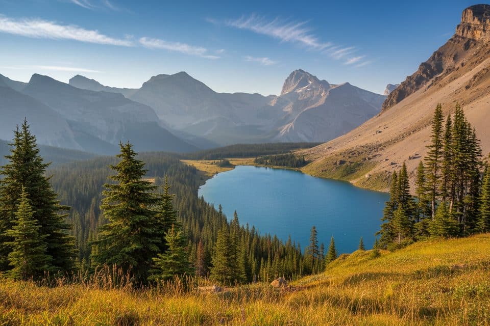 ChallengingFish Lakes29.6 km · 14 hr · At the trailheadBanff’s classic backpack to turquoise lakes over North Molar Pass
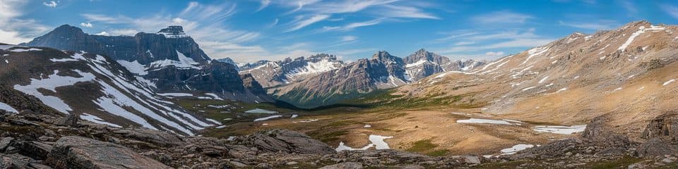 ChallengingDevon Lakes59.4 km · 20.5 hr · At the trailheadA remote multi-pass backpack to turquoise Devon Lakes via Fish Lakes and the Pipestone highlineChallengingSouth Molar Pass19.6 km · 7.5 hr · At the trailheadLong alpine meadows and sweeping views on a remote route to Molar Pass
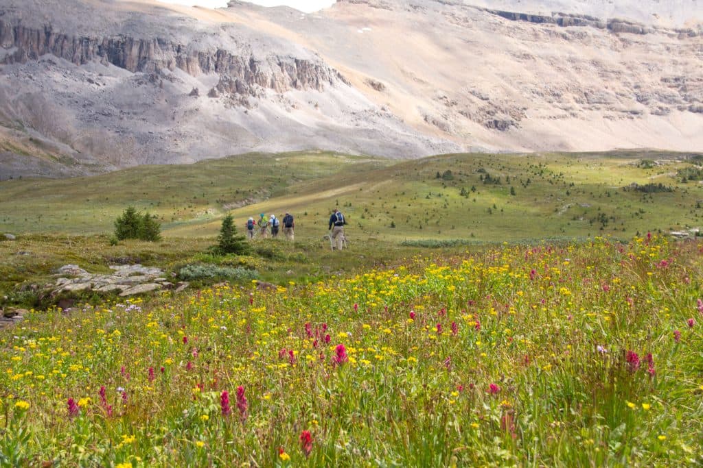 ChallengingNorth Molar Pass23.2 km · 8.5 hr · At the trailheadLong out-and-back through Mosquito Creek meadows to North Molar Pass
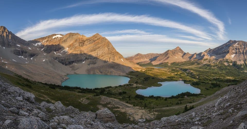 ChallengingClearwater Pass and Devon Lakes58.6 km · 19.5 hr · At the trailheadRemote, multi-pass alpine traverse to turquoise Devon Lakes
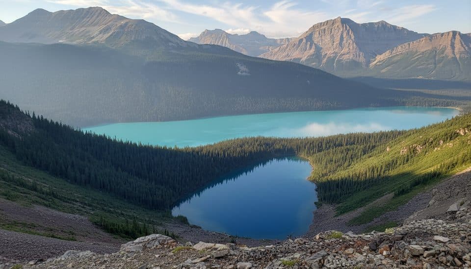 EasyHector Lake Trail5 km · 1.5 hr · 4.9 km awayShort, quiet hike to a turquoise lake—if you nail the river ford
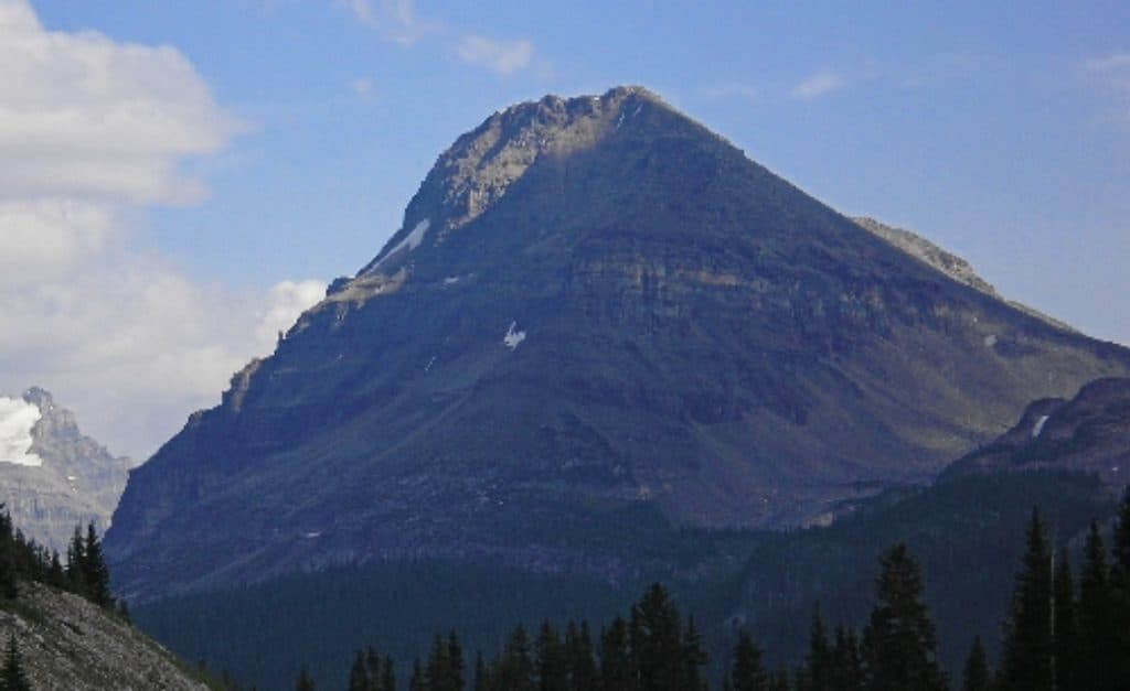 ChallengingBow Peak13.2 km · 7 hr · 7.1 km awayQuiet Bow River ford to an alpine pass and a bouldery Bow Peak scramble
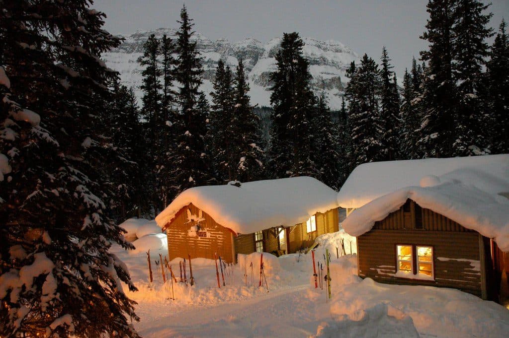 Lodging · 0.1 km awayHI Mosquito CreekOff-grid hostel with sauna and kitchen on the Icefields Parkway
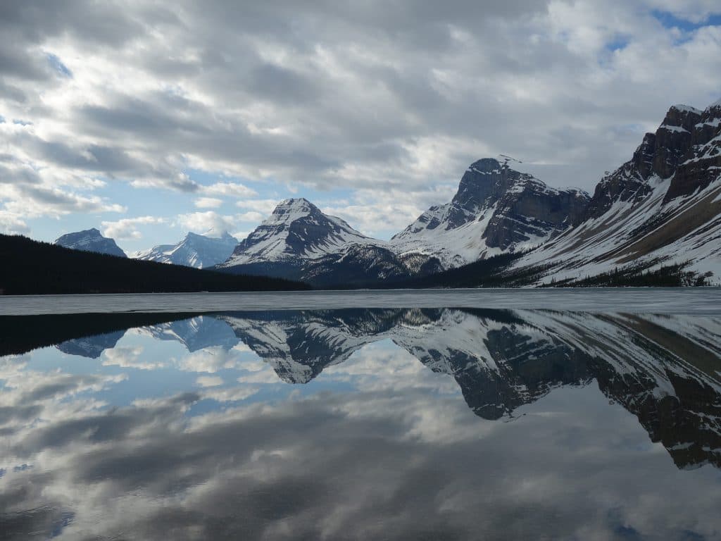 Sight · 5.4 km awayHector LakeSolitude, glaciers, and a spicy river crossing to reach the shore
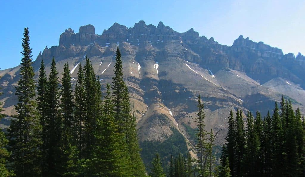 Sight · 6 km awayDolomite PeakRugged dolomite towers over a remote pass with big alpine views
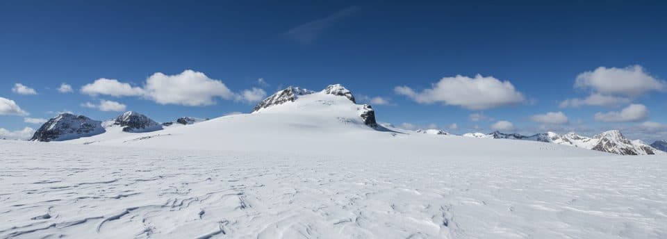 Sight · 8 km awayMount HectorBig glaciated 11,000er with a classic summit-to-road ski
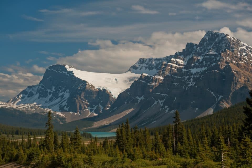 Scenic pullout · 8.4 km awayCrowfoot Glacier ViewpointRoadside view of the crow’s-foot glacier above Bow Lake
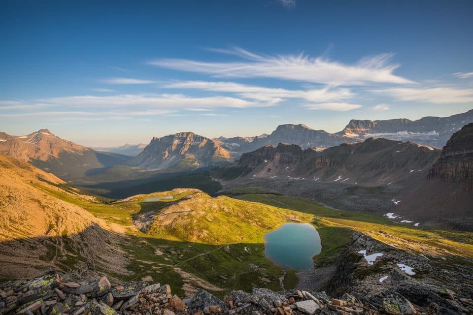 Sight · 8.5 km awayHelen LakeWildflower meadows lead to a tranquil alpine lake below Cirque Peak
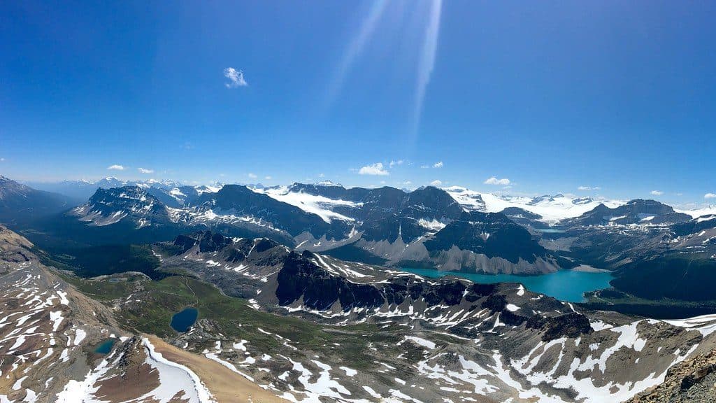 Sight · 9.9 km awayCirque PeakBig alpine views for a mostly-hike with a short, easy scramble
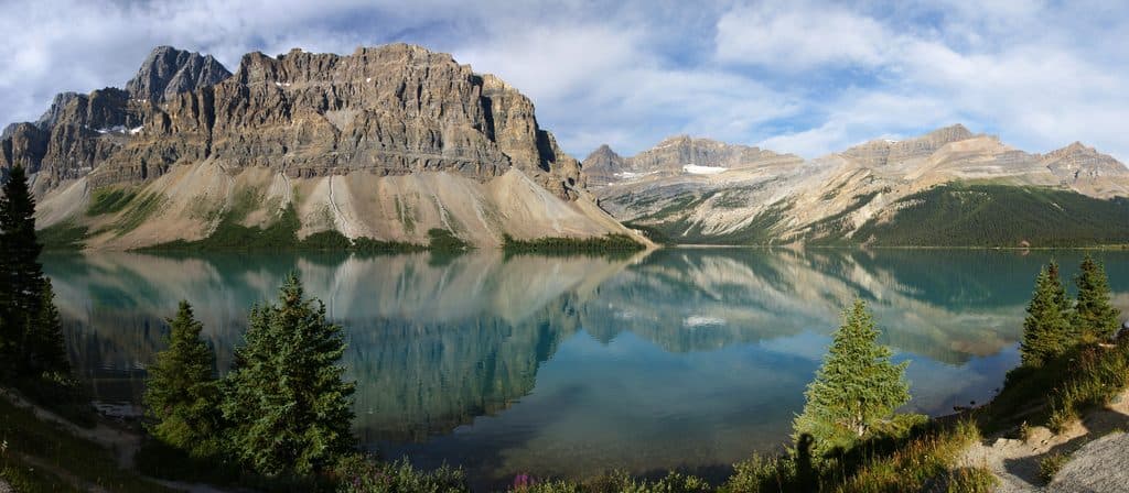 Sight · 10.2 km awayBow LakeTurquoise roadside lake with glaciers, reflections, and easy trails
Parkwolf’s Banff ranking
The audio tour guide for the drive, plus offline maps, trails, and wildlife heatmaps for when the signal drops.





