Sunshine Meadows Loop in Banff National Park

#6 of 177 trails in Banff

Banff National Park, AB

Sunshine Meadows Loop

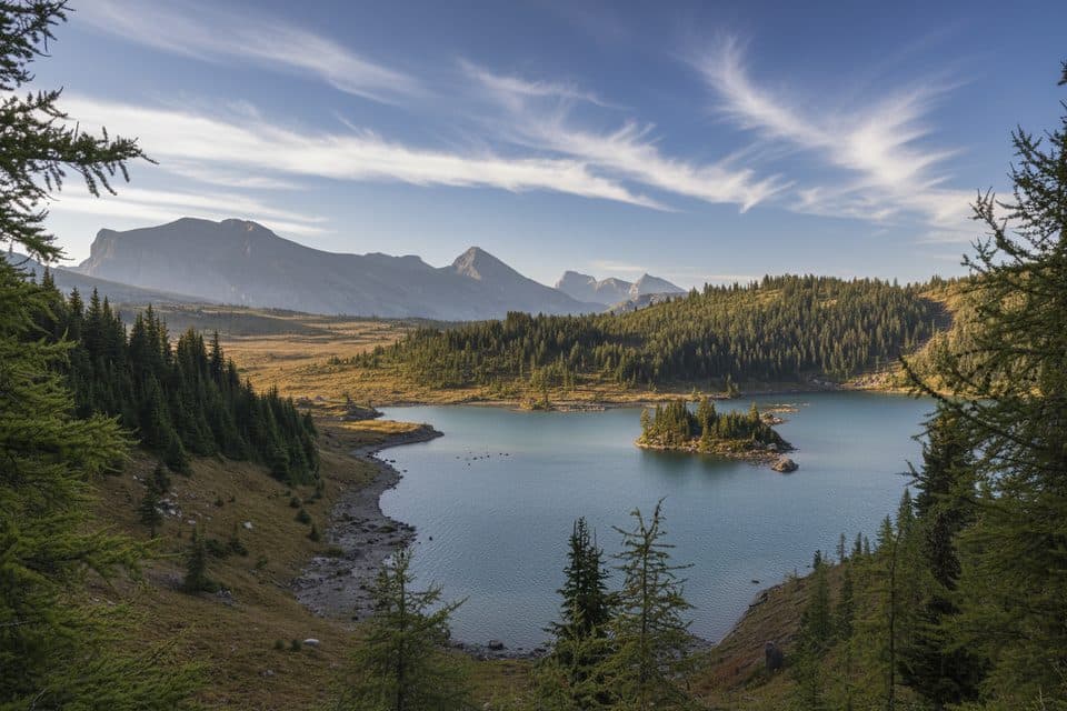
A high-alpine figure-eight through Rock Isle, Grizzly, and Larix Lakes

Length
11.9km
Time
3.5hr
Elev. change
232m
Difficulty
Moderate
  • No dogs
  • High point 2,343 m

Hear the audio tour

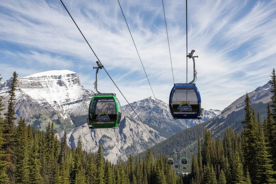
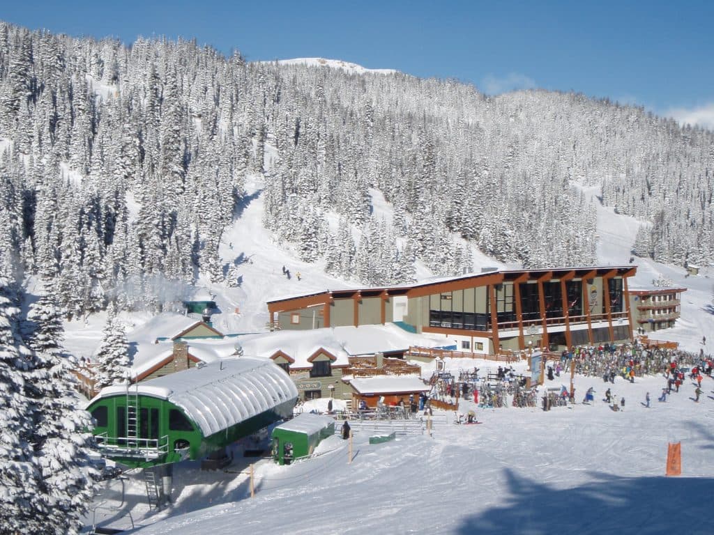
Sunshine Village: Gondola to the Alpine

Overview

About Sunshine Meadows Loop

Why go

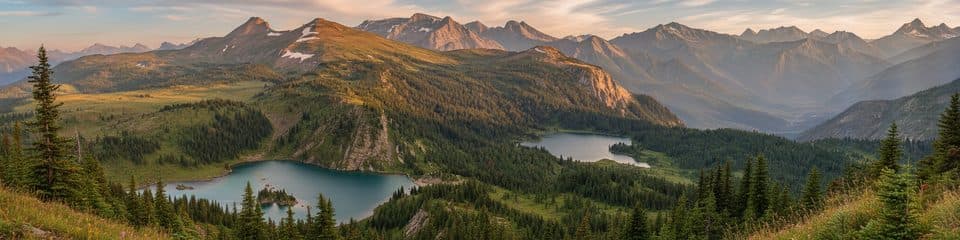
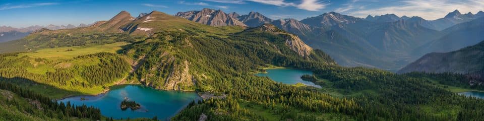
  • Links three alpine lakes, wildflower meadows, and broad Continental Divide views
  • Lift-assisted access reaches dramatic high country without a summit-scale climb
  • A varied route with boardwalks, bridges, signed viewpoints, and open alpine scenery

Heads up

  • Gondola and shuttle schedules, tickets, and seasonal operations control access
  • High-alpine exposure brings wind, sudden weather, cool temperatures, and possible early snow
  • The point-to-point finish requires planning the Simpson Pass shuttle connection
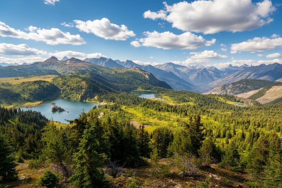
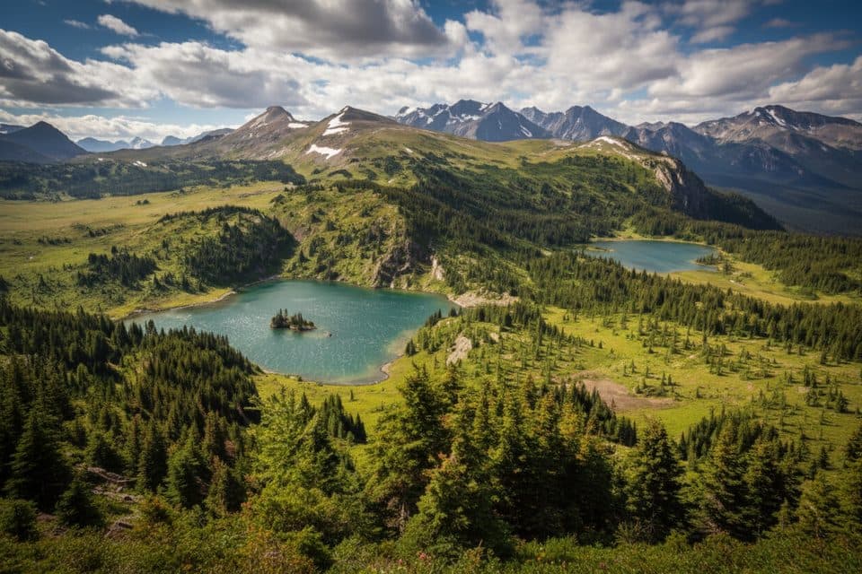
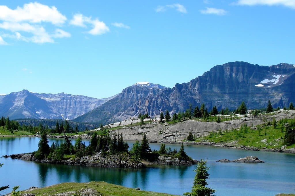
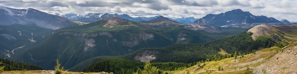
Sunshine Meadows is a high-alpine route linking Rock Isle, Grizzly, and Larix Lakes with open meadows, Continental Divide scenery, and broad views across the Banff–British Columbia border. The lift-assisted setting gives you big mountain scenery without a summit-scale climb, but the altitude and exposed weather still deserve respect.
Parkwolf’s verdictWhy hike it

Map & elevation

The route

Loading the Banff map
Full map
Elevation2,111–2,343 m
TrailheadSunshine Village51.07763, -115.78223
Keep this map with you offline in the Parkwolf app

Plan your hike

Before you go

Parking

Park at the Sunshine Village base area and ride the paid gondola to upper Sunshine Village to start. The walking route finishes at the upper Simpson Pass shuttle stop near the resort facilities; confirm the return connection before setting out.

Safety

Weather changes quickly above treeline. Carry warm layers, rain and sun protection, water, snacks, and bear spray where permitted; stay on the signed path to protect fragile meadows. Check gondola, shuttle, and Parks Canada trail information before departure. Dogs are not allowed on the sightseeing lifts or this trail network.

8 active Banff alerts

  • ClosureRed Deer River valley bottom closed for ceremonial bison harvestThe Red Deer River valley bottom is closed to the public during an Indigenous ceremonial bison harvest taking place through November.Official details
  • ClosureLake Minnewanka and Aylmer area closureLake Minnewanka Trail, Aylmer Pass Trail, and campgrounds Lm8, Lm9, Lm11, Lm20, Lm22 and Lm31 are closed to all users because black bears are displaying food-seeking behaviour.Official details
See all 8 alerts
A park ranger sits on a dash-mounted phone, talking, as Parkwolf’s Tour Guide plays “Army Cutworm Moths: A Grizzly Bear Buffet” on Grand Loop Road below Dunraven Pass in Yellowstone
Parkwolf Tour GuideThe highest, rockiest slopes around here are a summer buffet for grizzly bears.

Banff Tour Guide

Your drive to Sunshine Meadows Loop, narrated.

Parkwolf is a GPS audio tour guide for Banff National Park. As you drive, it chimes in with what’s ahead: hidden gems, upcoming stops, history, geology, and wildlife, right through your car’s speakers.

Recorded for this trailhead

Sunshine Village: Gondola to the Alpine
Listen
“Coming up is the access road for Sunshine Village. While it's a major ski resort, the main draw in summer is the gondola ride high into the mountains.”

Plays as you drive up to this trailhead in the Parkwolf Banff Tour Guide.

More stories near here in the app

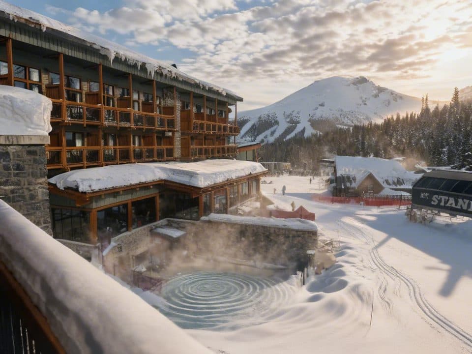
  • Sunshine Mountain Lodge: Banff's Only On-Mountain Stay
  • Sunshine Meadows in Golden Season
  • Who’s Behind the Run Names at Sunshine?
  • Tiny Travelers: Western Toad Migration
  • 178 audio storiesacross Banff’s roads, triggered by GPS as you drive
  • Wildlife heatmapsfor Grizzly Bear, Brown Bear, Gray Wolf, and 13 more
  • Works offlinemaps, 177 trails, 236 places, and audio download before you lose signal
  • CarPlay readysimple controls built for the drive
★★★★★
“…Loved the commentary as you drove thru. I’m sure the app can do more than I know but the tips were very helpful. I’m gonna use it when we go to Banff next month.”
tesja22App Store review
Download Parkwolf on the App StoreGet Parkwolf on Google Play

4.7 from 8,600+ ratings

Trail guide

Hiking Sunshine Meadows Loop

The route and feelPlan on about 7.4 miles (11.9 km) and roughly 3.

Plan on about 7.4 miles (11.9 km) and roughly 3.5 hours for this moderate figure-eight/connector itinerary. From upper Sunshine Village, follow the signed Citadel Pass and Rock Isle trails to the Rock Isle viewpoint and the Grizzly–Larix circuit, then return to the junction and continue on Twin Cairns–Meadow Park Trail. Finish on the Sunshine Village Simpson Pass Trail at the upper shuttle stop; the stored line is therefore a point-to-point visitor route rather than a closed loop back at the village. The tread is generally well-marked alpine dirt, gravel, boardwalk, bridges, and occasional steps, with about 200 m of rolling elevation change.


Scenery and what to watch forRock Isle, Grizzly, and Larix Lakes each frame the surrounding peaks differently, while the…

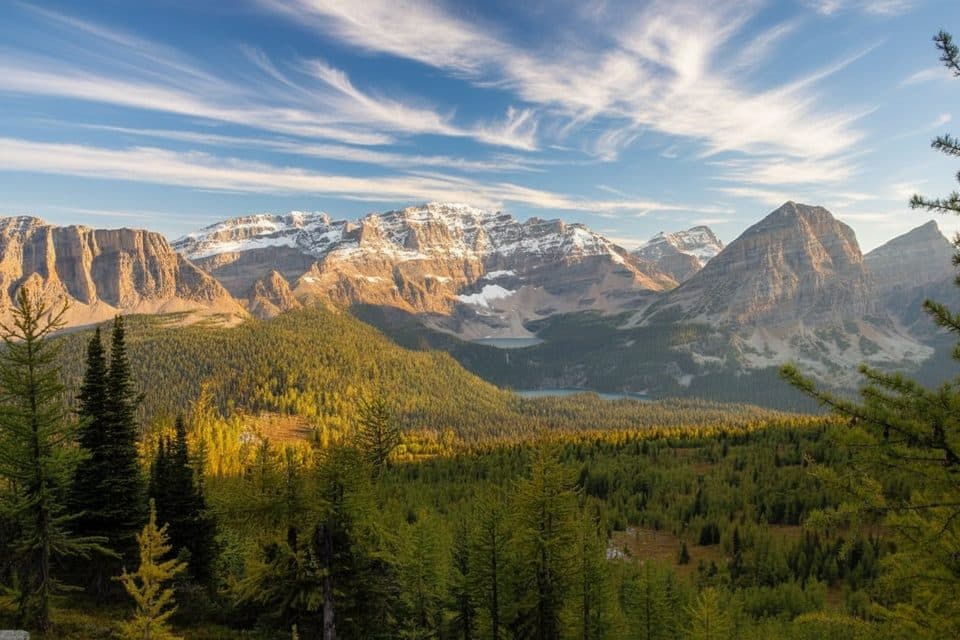
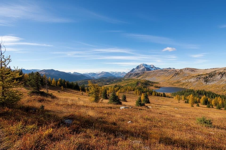
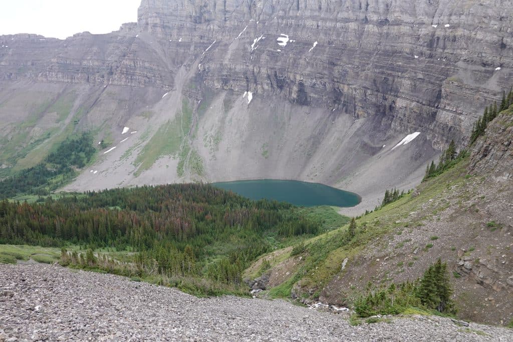
Rock Isle, Grizzly, and Larix Lakes each frame the surrounding peaks differently, while the open meadows bring summer wildflowers and early-fall larch color. The route crosses and follows the Continental Divide landscape, with the best broad compositions around Rock Isle and the Twin Cairns–Meadow Park valley. Keep an eye out for marmots, pikas, and bears, and stay on the signed path through fragile alpine vegetation.

LogisticsPark at the Sunshine Village base area and ride the gondola to upper Sunshine Village to start…

Park at the Sunshine Village base area and ride the gondola to upper Sunshine Village to start walking; lift access is paid and seasonal. The route finishes at the upper Simpson Pass shuttle stop near the resort facilities, so check the current shuttle connection and plan your return before setting out. Carry water and snacks because reliable on-trail water service is not part of this route, and check the resort and Parks Canada trail information for access, hours, and maps.

Need to knowHigh-alpine weather can change quickly: bring warm layers, rain and sun protection, and…

High-alpine weather can change quickly: bring warm layers, rain and sun protection, and navigation backup. The route is exposed in places and can be wet or muddy, with early snow possible in fall. Dogs are not allowed on the sightseeing lifts or this trail network, and bear awareness is essential.

Wildlife

Wildlife in Banff

All Banff wildlife maps

Sighting maps show where each species has been reported across Banff. Wildlife moves, so no sighting is guaranteed.

Keep exploring

Near Sunshine Meadows Loop

See it all on the map

Trails that start nearby

Places near the trailhead

Parkwolf’s Banff ranking

Top-rated trails in Banff

All 177 trails
  1. 1Moraine Lake RockpileEasy · 0.8 km
  2. 2Larch Valley and Sentinel PassChallenging · 11.1 km
  3. 3Sentinel PassChallenging · 11.3 km
  4. 4Parker Ridge TrailEasy · 5.5 km
  5. 5Big Beehive TrailModerate · 10.5 km
  6. 7Plain of Six Glaciers TrailModerate · 13.8 km

Take Parkwolf to Banff.

The audio tour guide for the drive, plus offline maps, trails, and wildlife heatmaps for when the signal drops.

4.7 from 8,600+ ratings

Download Parkwolf on the App StoreGet Parkwolf on Google Play