Parking
Park at the Two Jack Lake Day Use Area; summer parking is limited. Roam Route 6 provides seasonal service to the area from May through September.
Banff National Park, AB
Easy out-and-back along Two Jack Lake to the Lakeside Campground
Overview
This is an easy Rocky Mountain shoreline walk with bright water, lodgepole forest, and a clear view toward Mount Rundle. It is a good low-effort add-on to the Lake Minnewanka Scenic Drive and works well for a picnic or a sunset stroll.
 Parkwolf’s verdictWhy go
Map & elevation
Plan your hike

The highest, rockiest slopes around here are a summer buffet for grizzly bears.
Banff Tour Guide
Parkwolf is a GPS audio tour guide for Banff National Park. As you drive, it chimes in with what’s ahead: hidden gems, upcoming stops, history, geology, and wildlife, right through your car’s speakers.
Recorded for this area
Two Jack Lake: Reflections and Calm Waters“You're approaching Two Jack Lake, a spot known for its incredible reflections of Mount Rundle on calm days. It's an easy place for a lakeside picnic or for paddling a canoe or kayak.”
Plays on the road 0.3 km from the trailhead in the Parkwolf Banff Tour Guide.
More stories near here in the app
“…Loved the commentary as you drove thru. I’m sure the app can do more than I know but the tips were very helpful. I’m gonna use it when we go to Banff next month.”


Trail guide
The route is an out-and-back from Two Jack Lake Day Use Area to Two Jack Lakeside Campground: about 2.1 miles (3.4 km) total, with roughly 1.06 miles (1.7 km) of mapped corridor each way. The stored line follows the physical corridor once; turn around at the campground and return along the same shore. The path is mostly easy, nearly level walking on dirt and fine gravel, with some uneven lakeside sections.
The trail stays close to Two Jack Lake, with frequent openings to the water and the Rundle Range beyond. Pine forest, picnic clearings, and the campground-side shoreline give the walk enough variety without turning it into a strenuous hike. Elk, bighorn sheep, and bears are all possible in the Minnewanka area.
Park at the Two Jack Lake Day Use Area and follow the shoreline path toward Two Jack Lakeside Campground. Summer parking is limited; Roam Route 6 provides seasonal access to the area from May through September. Bring water and food because there are no cafés along the walk. Dogs are allowed on leash.
A scenic, forgiving lakeshore outing for visitors who want big Banff views without a major climb. The tradeoff is that it is an out-and-back rather than a true loop, so the return covers the same shoreline.
Wildlife
 122 sightingsGrizzly BearMost seen around 6 AMSighting map
 150 sightingsBrown BearMost seen around 6 PMSighting map
 44 sightingsGray WolfMost seen around 6 AMSighting map
 12 sightingsRiver OtterMost seen around 8 PMSighting map
 67 sightingsMooseMost seen around 8 PMSighting map
 465 sightingsBlack BearMost seen around 9 PMSighting map
Sighting maps show where each species has been reported across Banff. Wildlife moves, so no sighting is guaranteed.
Keep exploring
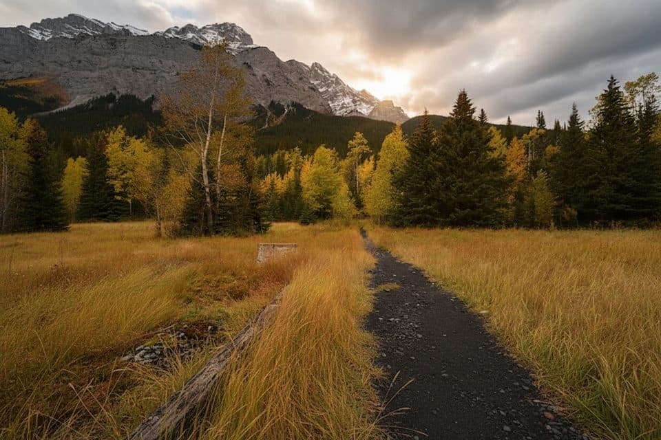 EasyLower Bankhead Interpretive Trail1.1 km · 30 min · 1.7 km awayGhost town loop through coal mine ruins with Cascade Mountain views
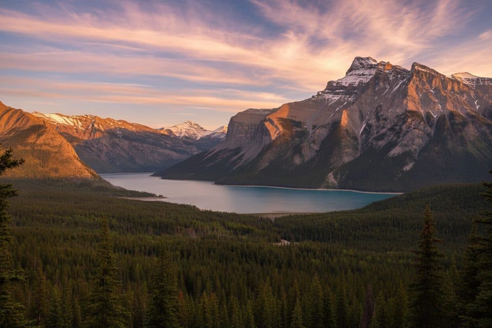 ModerateC-Level Cirque7.6 km · 3 hr · 1.7 km awaySteep forest climb to a dramatic cirque with big Lake Minnewanka views
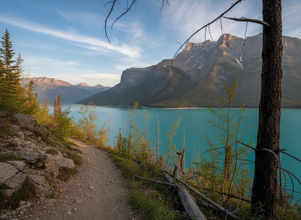 EasyMinnewanka Trail15.3 km · 4.5 hr · 1.9 km awayRolling Lake Minnewanka shoreline walk to the Aylmer Pass junction
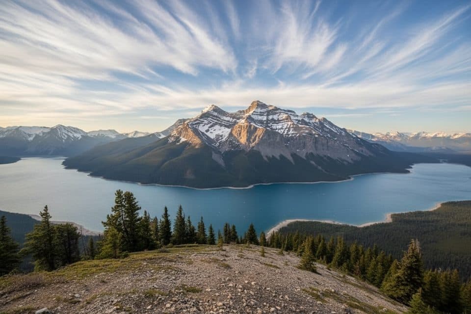 ChallengingAylmer Lookout Trail23.5 km · 8 hr · 1.9 km awayA full-day climb from Lake Minnewanka to a sweeping high-country lookout
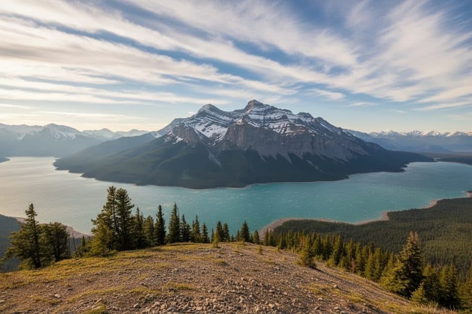 ChallengingAylmer Pass Trail26.2 km · 8.5 hr · 1.9 km awayA long Lake Minnewanka shoreline approach climbs to wild alpine Aylmer Pass.
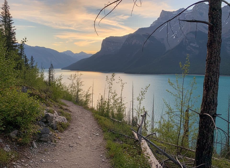 ChallengingLake Minnewanka Trail59.7 km · 18 hr · 1.9 km awayA demanding 30-km lakeshore approach from Lake Minnewanka to Devil’s Gap.
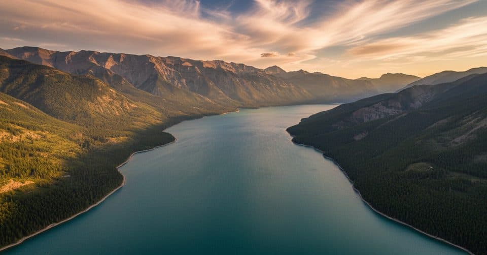 ChallengingDevil's Gap via Lake Minnewanka59.7 km · 18 hr · 1.9 km awayA demanding 30-km lakeshore approach from Lake Minnewanka to Devil’s Gap.
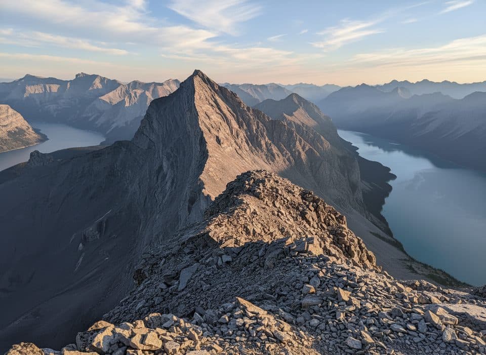 ChallengingMount Inglismaldie Route16.6 km · 9 hr · 2.6 km awayA long, loose Class 2–3 scramble to Mount Inglismaldie with wide Lake Minnewanka views.
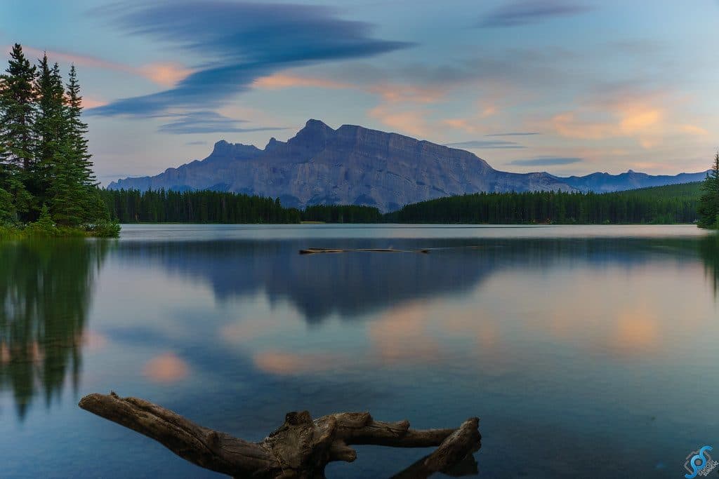 Sight · 0.3 km awayTwo Jack LakeSerene Rundle reflections, easy paddling, and lakeside picnics
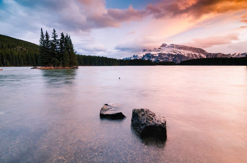 Campground · 0.7 km awayTwo Jack MainForested, no-frills basecamp minutes from Two Jack Lake and Minnewanka
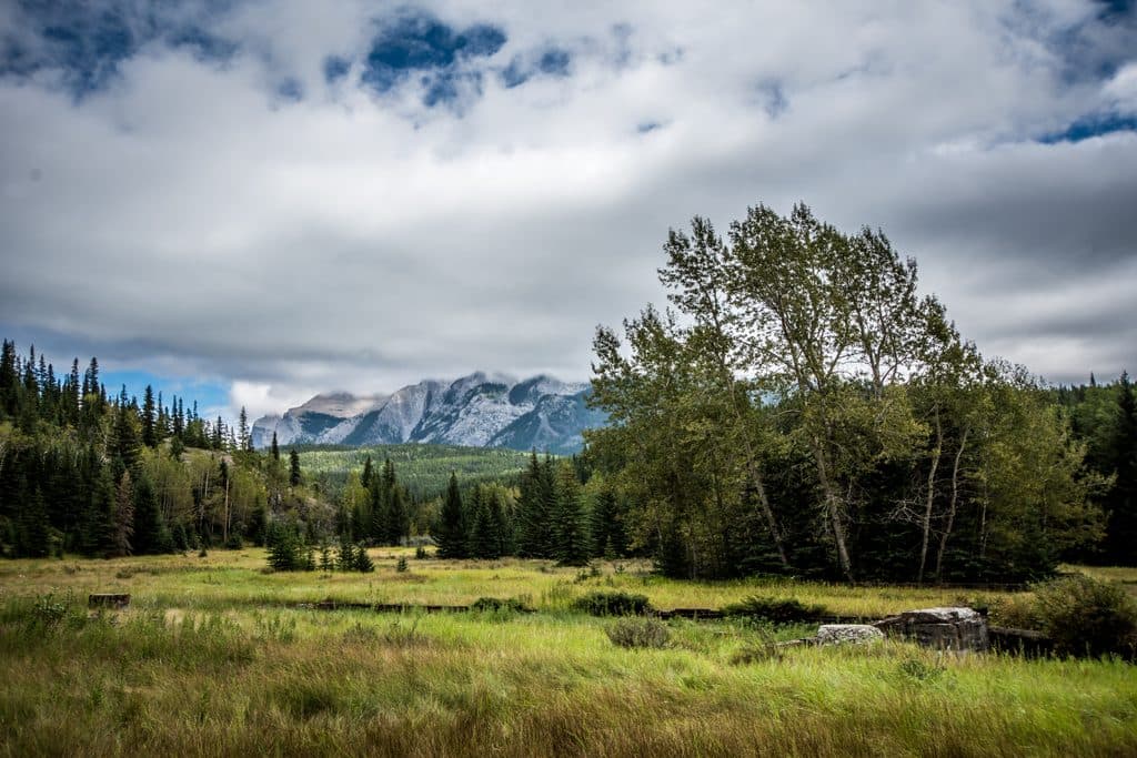 Sight · 1.7 km awaySite of Bankhead TownA compact, evocative ghost town walk with rich mining history
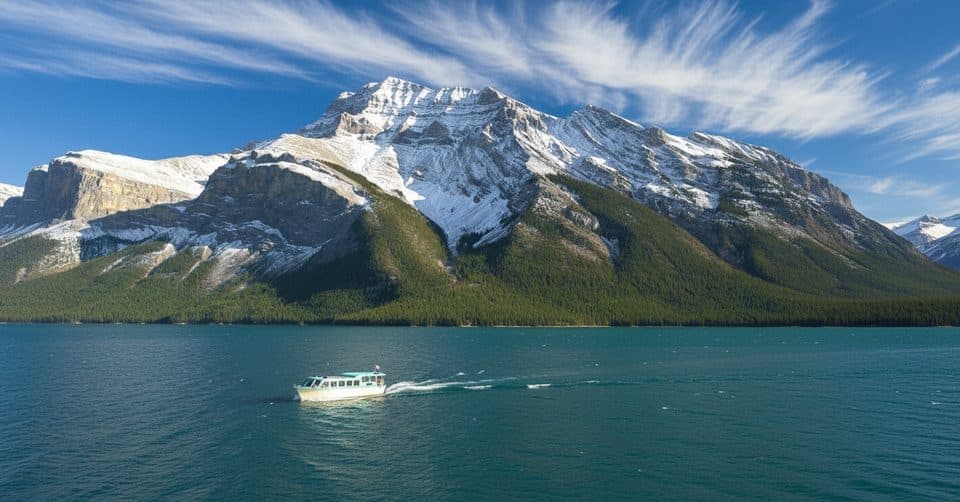 Sight · 1.9 km awayLake Minnewanka CruiseCruise to Devils Gap with tales of a submerged town
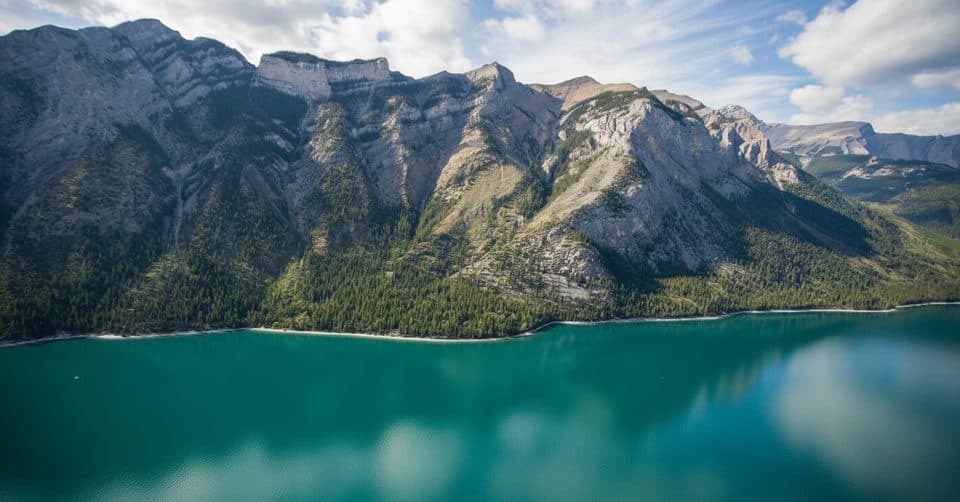 Sight · 2.1 km awayLake Minnewanka ViewpointDrive-up panoramas of the largest lake and rugged peaks
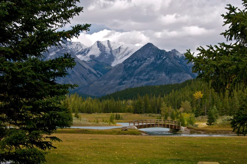 Picnic area · 2.5 km awayCascade PondsEasy picnic ponds with bridges and big Cascade Mountain views
 Sight · 3.9 km awayJohnson LakeSmall, swimmable lake with easy loop and picnic area
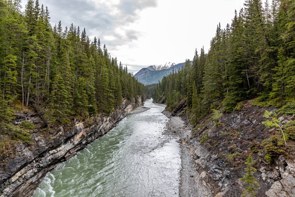 Sight · 4.3 km awayStewart CanyonShort walk to a dramatic river canyon and bridge views
Parkwolf’s Banff ranking
The audio tour guide for the drive, plus offline maps, trails, and wildlife heatmaps for when the signal drops.





