Parking
Start at Lake Abundance Trailhead: from US-212, take Daisy Pass Trail Road 4.3 miles, then Forest Road 3219 for 3.1 miles. High-clearance vehicles are advised. The route ends near Nye, so plan transportation at both ends.
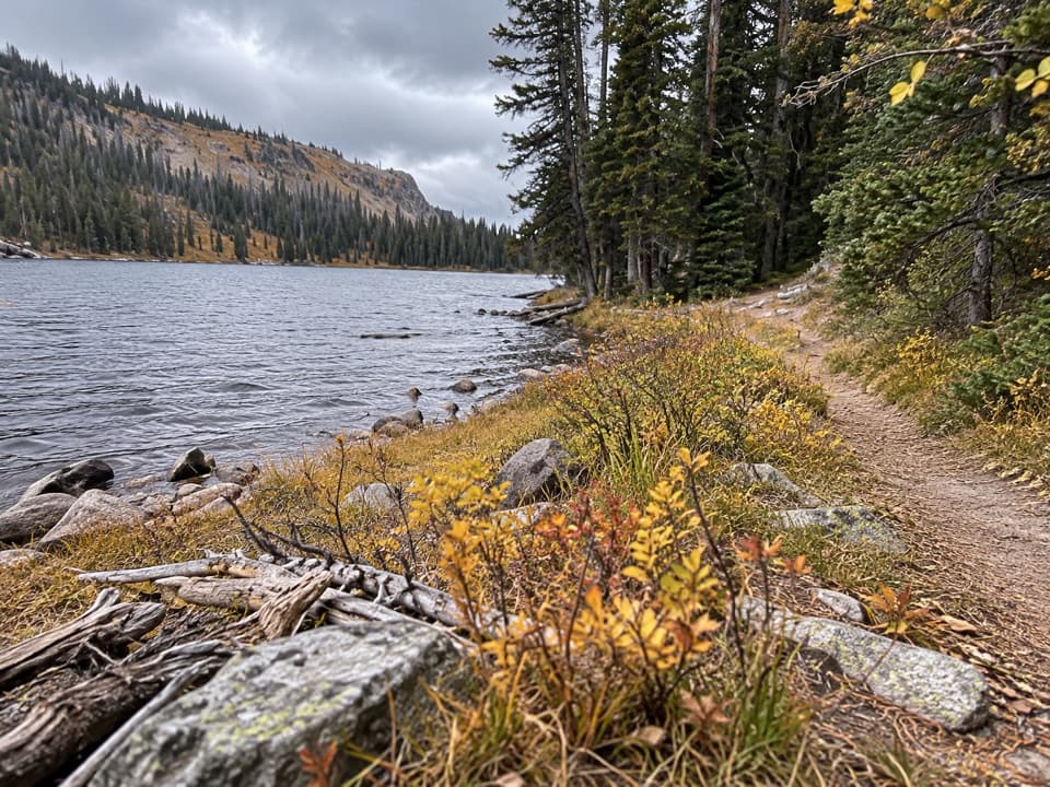
Beartooth Highway, MT · WY
A 26-mile wilderness traverse links Lake Abundance with Nye.
Overview
Map & elevation
Plan your hike

The highest, rockiest slopes around here are a summer buffet for grizzly bears.
Beartooth Highway Tour Guide
Parkwolf is a GPS audio tour guide for Beartooth Highway. As you drive, it chimes in with what’s ahead: hidden gems, upcoming stops, history, geology, and wildlife, right through your car’s speakers.
See the Beartooth Highway audio tourMore stories near here in the app
“Fantastic app with many points of information… It’s great to just turn on while you’re driving and it gives you an audio tour of the national Park. We love it!!!!”


Trail guide
Stillwater Trail #24 is a 26-mile, one-way route from Lake Abundance to the Stillwater Trailhead near Nye, following the Stillwater River drainage through the Absaroka-Beartooth Wilderness. It has about 3,000 feet of total elevation change. Allow roughly 14 hours on foot if you cross it in one push, or plan a backcountry trip; arrange transportation between the two remote trailheads before setting out.
From Lake Abundance, the named landmarks come in this order: Horseshoe Creek Trail #4 junction at about 10 miles, West Stillwater Trail #90 near Wounded Man Creek at 15 miles, Tripod Hill around 20 miles, Flood Creek at 21 miles, and Sioux Charley Lake about 22.75 miles in. The route finishes near Nye at 26 miles. Those mileages are measured from Nye, so you meet them in reverse order from Lake Abundance.
Sioux Charley Lake is 3.25 miles from the Nye end, making a 6.5-mile out-and-back there. That is a useful smaller taste of Trail #24, but it starts at the opposite end and does not include the Lake Abundance section.
Wildlife
 42 sightingsGrizzly BearMost seen around 7 AMSighting map
 22 sightingsGray WolfMost seen around 6 AMSighting map
 49 sightingsBisonMost seen around 6 AMSighting map
 122 sightingsMooseMost seen around 6 AMSighting map
 260 sightingsMountain GoatMost seen around 7 AMSighting map
 16 sightingsBighorn SheepMost seen around 7 PMSighting map
Sighting maps show where each species has been reported across Beartooth Highway. Wildlife moves, so no sighting is guaranteed.
Keep exploring
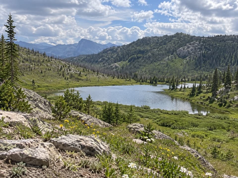 ChallengingLake of the Woods Trail #3426 mi · 16 hr · At the trailheadA remote cutthroat lake rewards a long wilderness approach.
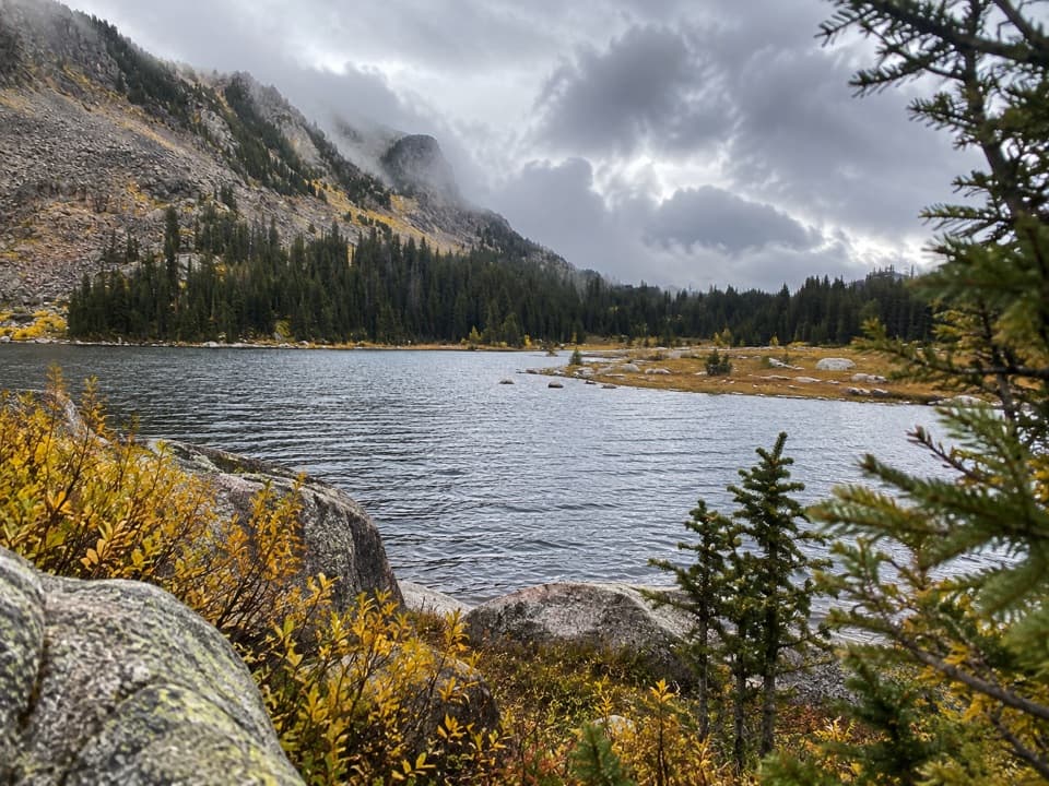 ChallengingHorseshoe Lake via Lake Creek Trail20.4 mi · 12 hr · 0.1 mi awayA long backcountry route reaches a high Horseshoe Lake.
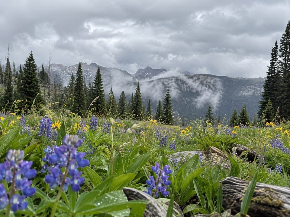 ChallengingLost Wolverine Trail #11311.7 mi · 7.5 hr · 3 mi awayA high-country traverse to Wolverine Pass through wildflower meadows.
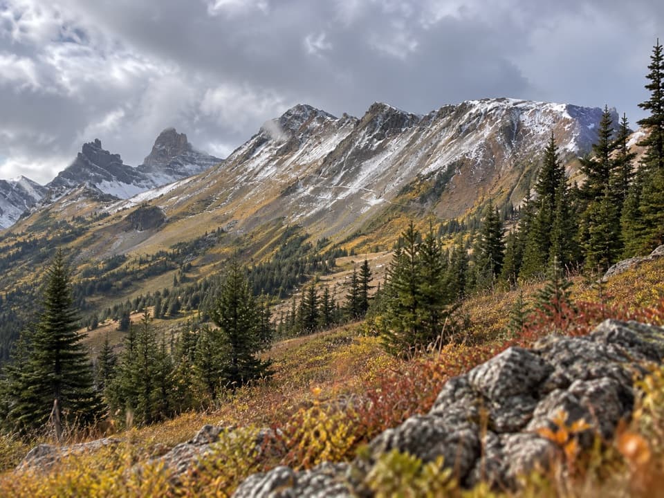 ModerateHenderson Mountain Trail #5792.9 mi · 1.5 hr · 3.2 mi awayA short, high-country walk above Cooke City.
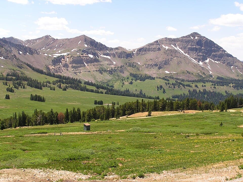 ModerateBlack Warrior Trail #5781.9 mi · 1.5 hr · 4.3 mi awayA rough-track climb from Miller Creek Road to near Daisy Pass.
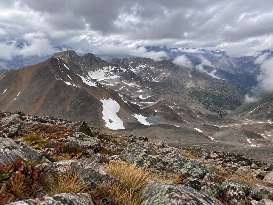 ChallengingGrasshopper Glacier Trail5.8 mi · 6 hr · 4.6 mi awayHigh-country ridge hike with alpine lakes and a 1914 locust mystery.
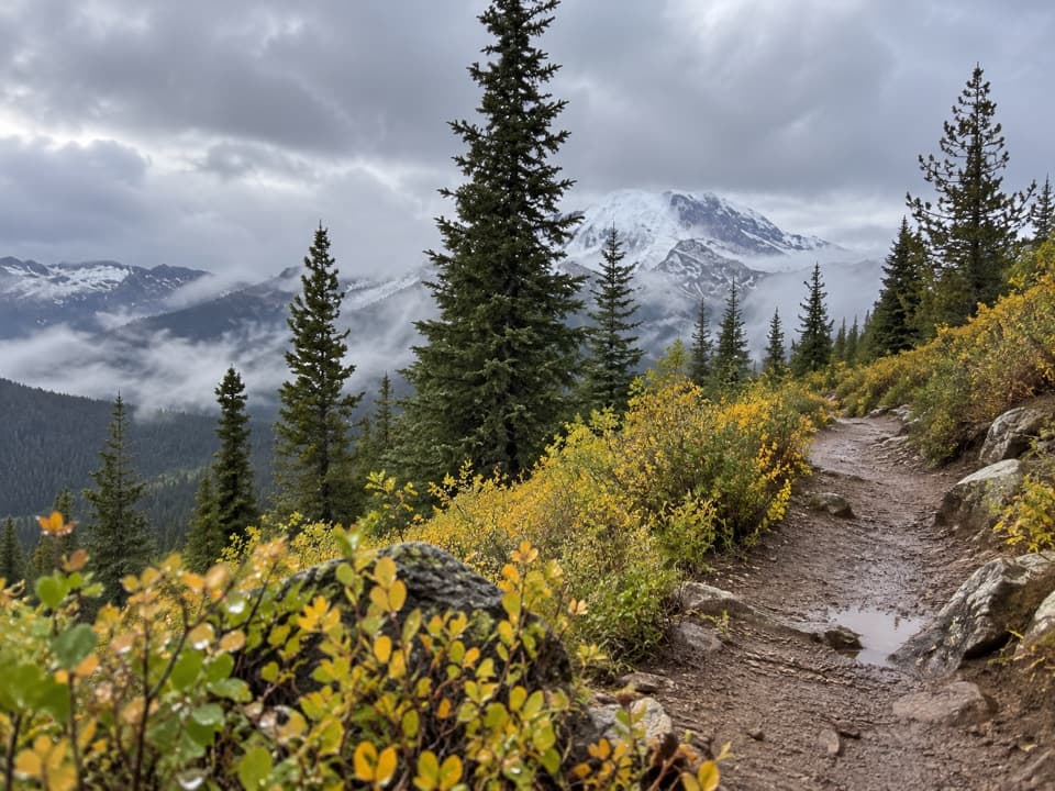 ModerateSheep Creek Basin Trail #5765.4 mi · 3.5 hr · 4.9 mi awayA high-country climb to a basin above 9,000 feet.
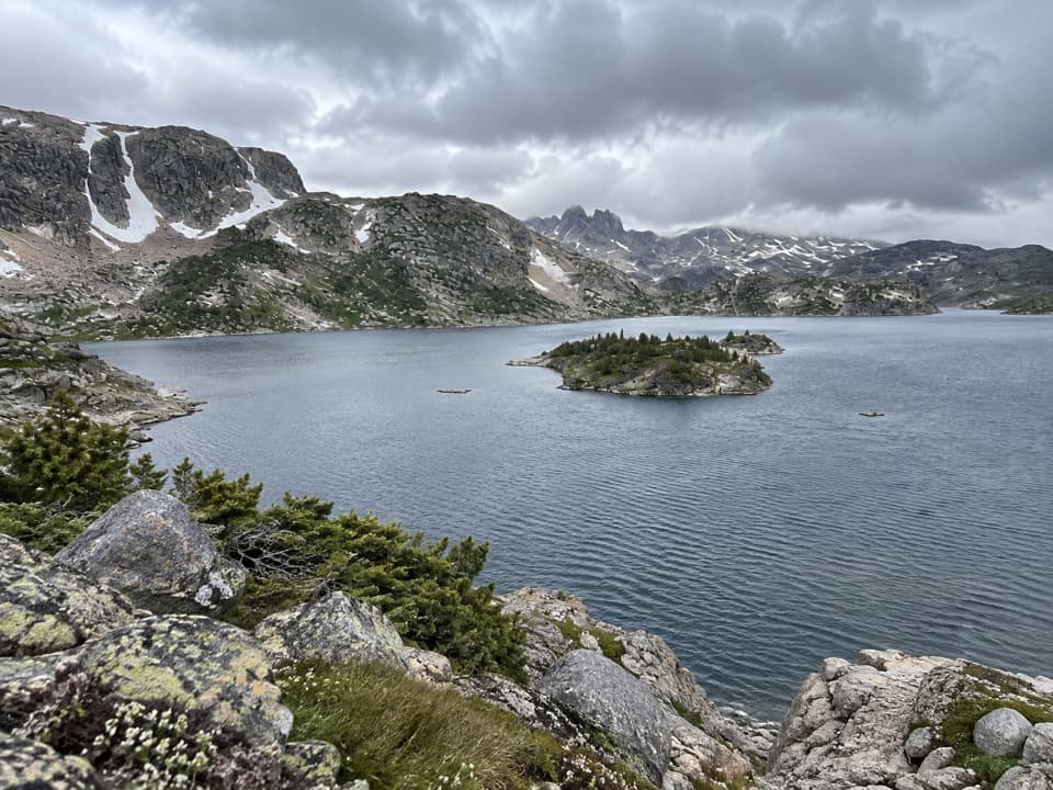 ChallengingLower Aero Lake Trail11.3 mi · 7.5 hr · 5.1 mi awayA long climb to an island-studded lake beneath sharp alpine peaks
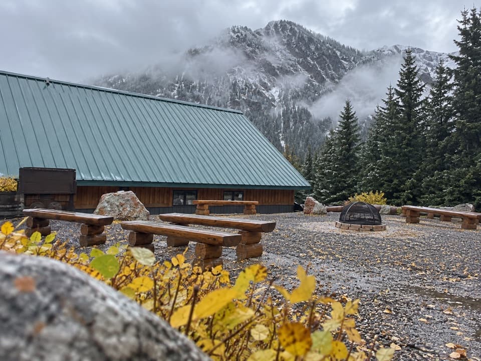 Visitor center · 5.5 mi awayCooke City Visitor Center and MuseumNine touchscreens bring Cooke City's local history to life.
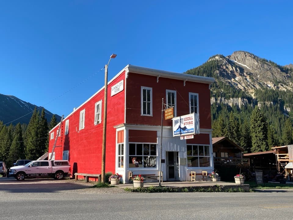 Store · 5.6 mi awayCooke City StoreA working mercantile still uses its hand-crank cash register.
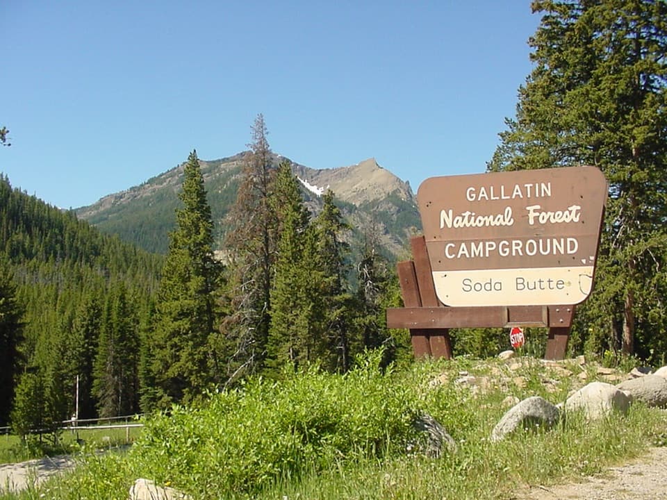 Campground · 5.9 mi awaySoda Butte CampgroundA quiet, wooded base near Cooke City and Yellowstone’s northeast entrance.
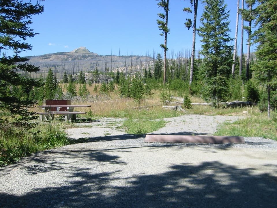 Campground · 6.6 mi awayColter CampgroundA hard-sided-only campground two miles east of Cooke City.
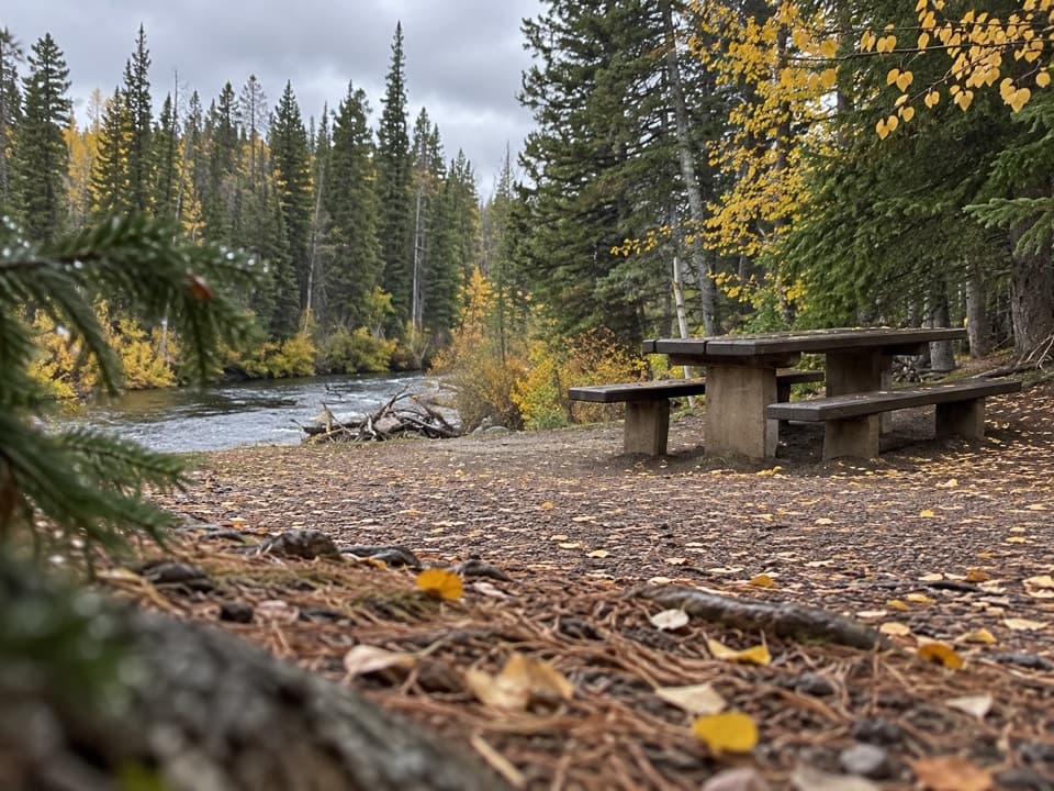 Picnic area · 7.9 mi awayClarks Fork Picnic AreaA riverside pause with a little highway and flume history.
Parkwolf’s Beartooth Highway ranking

The audio tour guide for the drive, plus offline maps, trails, and wildlife heatmaps for when the signal drops.




