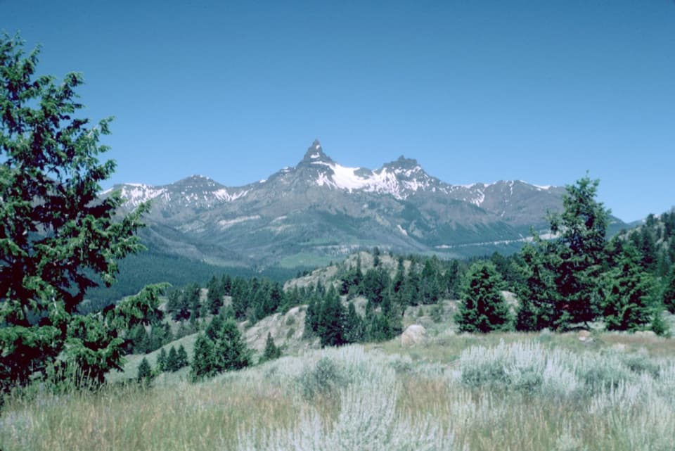
Beartooth Lakes Loop in Beartooth Highway

#2 of 82 trails in Beartooth Highway

Beartooth Highway, MT · WY

Beartooth Lakes Loop

A six-lake loop over high ridges and wildflower meadows.

Length
7.8mi
Time
4hr
Elev. change
1,014ft
Difficulty
Moderate
  • Loop
  • Dogs allowed
  • High point 9,918 ft

Hear the audio tour

Beartooth Lake

Overview

About Beartooth Lakes Loop

Why go

  • Six lakes, a ridge panorama, and changing scenery in one circuit.
  • Late-summer meadows can be full of wildflowers.

Heads up

  • High altitude and several creek crossings make the early season rough.
  • The full circuit takes about half a day.

Map & elevation

The route

Loading the Beartooth Highway map
Full map
Elevation8,904–9,918 ft
TrailheadBeartooth Lakes Loop Trailhead parking44.94641, -109.58572
Keep this map with you offline in the Parkwolf app

Plan your hike

Before you go

Parking

From US-212, turn toward Beartooth Lake and drive through the campground for about 0.6 miles. Follow signs to the small spur lot just beyond the lake’s southeast end. If it is full, the boat-ramp area is the overflow option and adds about 0.8 miles of walking round trip. Beartooth Highway is seasonal; check its current opening before planning.

Best time to go

Granite and gneiss here date to about 3.0–2.5 billion years ago; later glaciers carved the lake basins and benches. Beartooth Butte’s red Devonian rock records a much later sea and contains fossils, though no fossil site on this route is identified. Late July and early August bring wildflowers to the Beartooth Creek meadows. Late July through September is generally the most reliable window; earlier snow, wet meadows, and high crossings can slow the walk. The Beartooth Highway is seasonal, so check its current opening before planning. Beartooth Lake Campground has 21 sites and a nearby supply store. Dogs are allowed; leash them in developed campground areas and keep them under control on trail. This is bear country, so a leash is a sensible choice.

Safety

Several streams cross the route; the Beartooth Lake outlet and Beauty Lake inlets can require wading early in the season, while meadows stay marshy. The loop reaches nearly 10,000 feet, where storms, cold, and early snow can arrive quickly. This is bear country; follow Forest Service bear-safety rules. Dogs are allowed, but keep them under control on trail and leashed in developed campground areas.

1 active Beartooth Highway alert

  • ClosureBeartooth Highway seasonal closure and falling-rock advisoryBeartooth Highway (US-212) is closed for the season between Cooke City and Red Lodge; do not plan to travel the highway as a through route.Official details
Beartooth Highway alerts
A park ranger sits on a dash-mounted phone, talking, as Parkwolf’s Tour Guide plays “Army Cutworm Moths: A Grizzly Bear Buffet” on Grand Loop Road below Dunraven Pass in Yellowstone
Parkwolf Tour GuideThe highest, rockiest slopes around here are a summer buffet for grizzly bears.

Beartooth Highway Tour Guide

Your drive to Beartooth Lakes Loop, narrated.

Parkwolf is a GPS audio tour guide for Beartooth Highway. As you drive, it chimes in with what’s ahead: hidden gems, upcoming stops, history, geology, and wildlife, right through your car’s speakers.

See the Beartooth Highway audio tour

Recorded for this trailhead

Beartooth Lake
0:00 / 0:31
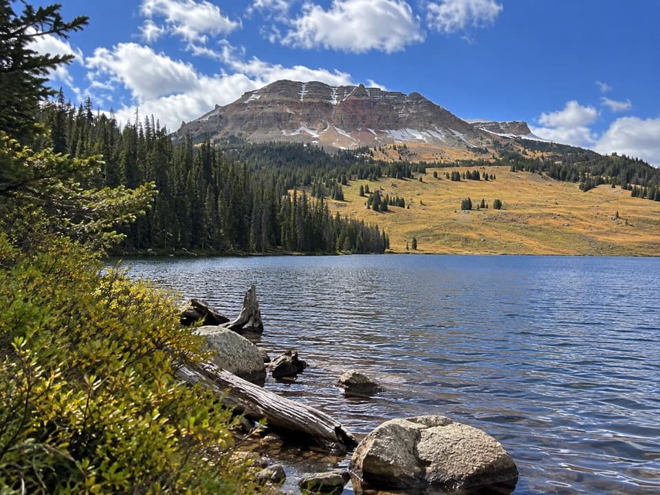
“You're coming up on the turnoff for Beartooth Lake, a good place for a picnic or an easy lakeside break. A short gravel spur reaches the boat ramp and day-use shore, with Beartooth Butte rising across the water.”

Plays as you drive up to this trailhead in the Parkwolf Beartooth Highway Tour Guide.

More stories near here in the app

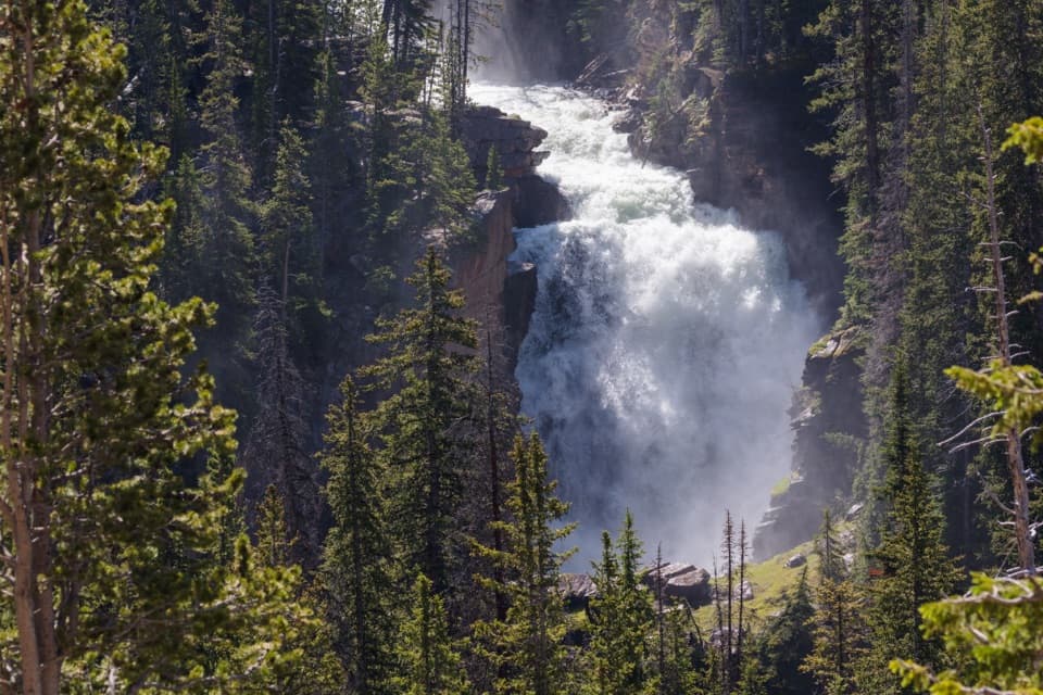
  • Beartooth Falls
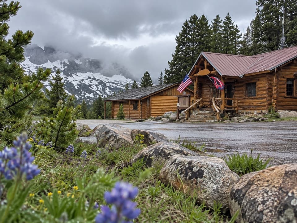
  • Top of the World Store
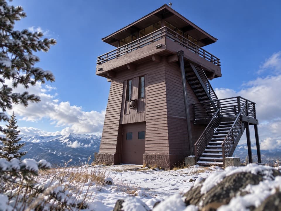
  • Clay Butte Lookout Detour
  • Island Lake
  • 62 audio storiesacross Beartooth Highway’s roads, triggered by GPS as you drive
  • Wildlife heatmapsfor Grizzly Bear, Gray Wolf, Bison, and 13 more
  • Works offlinemaps, 82 trails, 36 places, and audio download before you lose signal
  • CarPlay readysimple controls built for the drive
★★★★★
“Fantastic app with many points of information… It’s great to just turn on while you’re driving and it gives you an audio tour of the national Park. We love it!!!!”
JMJamesApp Store review
Download Parkwolf on the App StoreGet Parkwolf on Google Play

4.7 from 8,600+ ratings

Trail guide

Hiking Beartooth Lakes Loop

A full loop with a real climbBeartooth Lakes Loop is a 7.

Beartooth Lakes Loop is a 7.8-mile clockwise circuit from the small parking spur at the southeast end of Beartooth Lake. It links six alpine lakes on trails 619, 620, and 621, trading lakeshore meadows for a high granite ridge and back again. The route climbs about 1,010 feet and tops out near 9,920 feet; allow about four hours, with extra time if you linger at the lakes or move slowly through wet crossings. It’s a rewarding half-day hike, not a quick lakeside stroll. Start on 619 and keep the turns straight: 621 is the return leg, not the way toward the ridge.

Take 619 to the High Lakes turnAt the trailhead, take Beartooth Creek Trail 619.

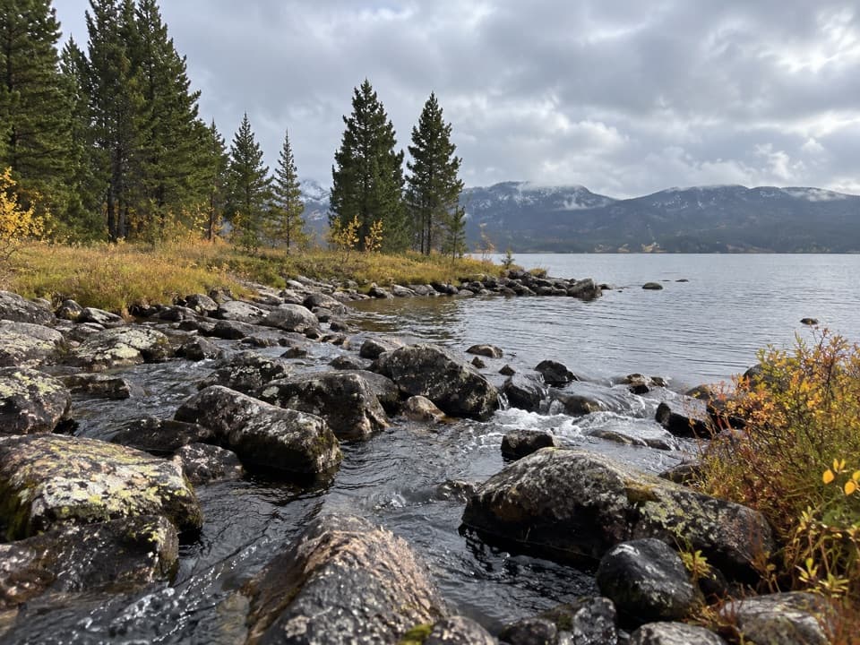
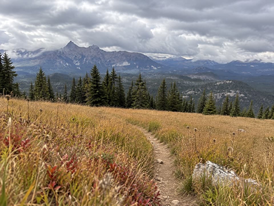
At the trailhead, take Beartooth Creek Trail 619. The level start crosses Beartooth Lake’s outlet at about a tenth of a mile, then skirts the north side of the lake and crosses several small inlet streams. At roughly 0.8 mile, it leaves the shore and climbs the Beartooth Creek valley through open meadows. Expect a small creek hop near 2.2 miles and another crossing around 2.5. At 2.7 miles, turn northeast onto Beartooth High Lakes Trail 620; the other branch heads toward Native Lake and is a different walk. Cairns mark the initial open crossing on 620, and a rock hop over a creek comes around 2.8 miles.

The ridge and Horseshoe LakeThe route reaches its high point, about 9,920 feet, near mile 3.25.

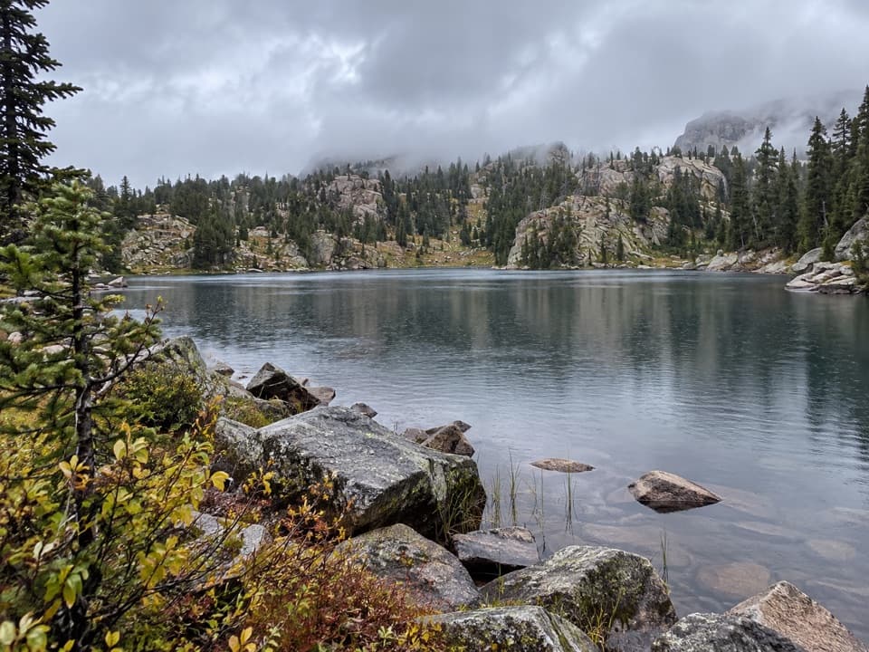
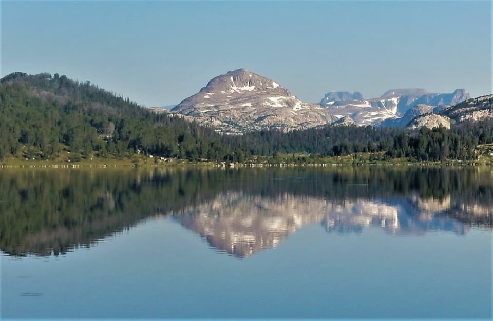
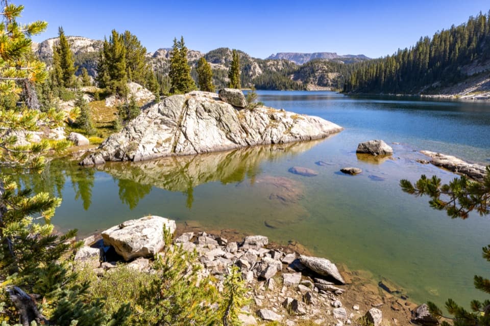
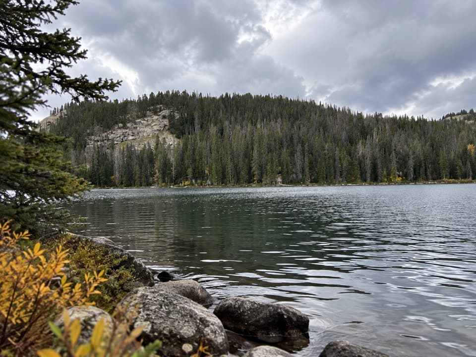
The route reaches its high point, about 9,920 feet, near mile 3.25. Views open across granite ridges and blue lakes toward Lonesome Mountain and the high eastern edge of the plateau. On the way down, pause at Horseshoe Lake’s south shore: a small island and narrow peninsula sit below that mountain backdrop. This is the loop’s best place for a lake-and-ridge photo; include the shoreline in the frame so the island and peninsula give the view some scale.

From one lake bench to the nextBeyond Horseshoe, the path drops between lake benches past Marmot and Shallow Lakes, then…

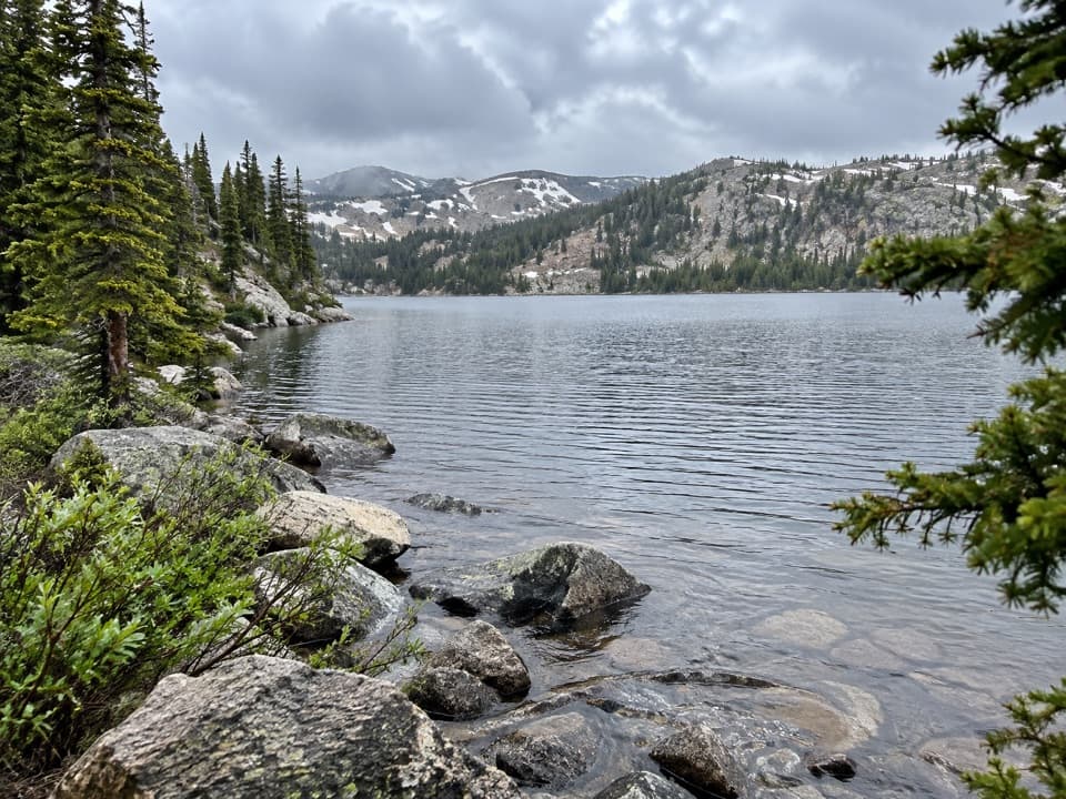
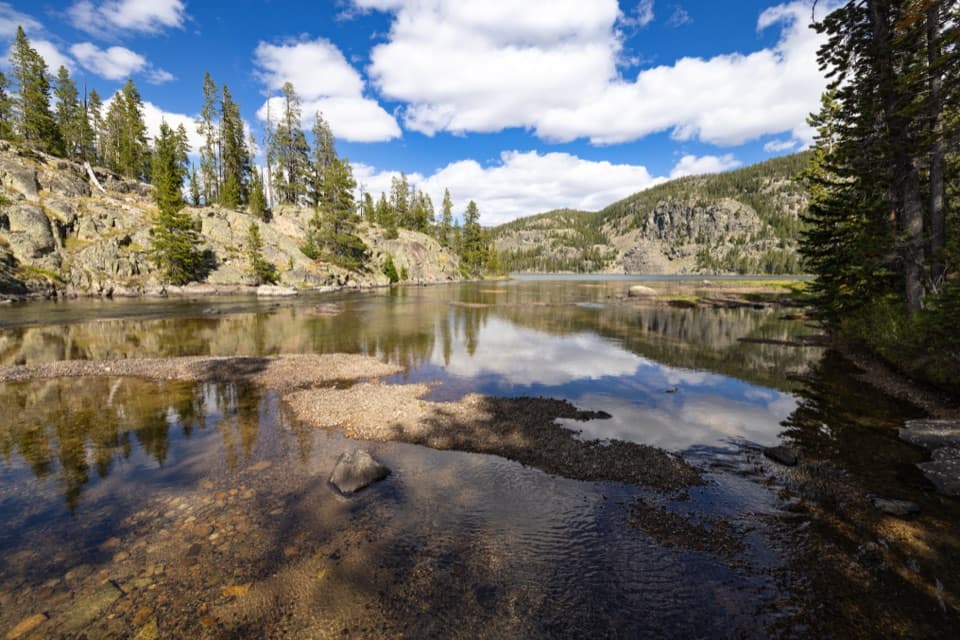
Beyond Horseshoe, the path drops between lake benches past Marmot and Shallow Lakes, then reaches the northwest shore of Claw Lake around mile 4. Rocks help at Claw’s inlet, though they may not keep your feet dry. The trail then wanders through meadow, scattered trees, rock outcrops, and small tarns. A short rise around mile 4.6 leads into a steeper descent among granite knolls and marshy ground. Near mile 5.1, broad, shallow inlet streams feed Beauty Lake; grassy islands and rocks offer places to cross, but this is another wet stretch.

Beauty Lake and the way backAt about mile 5.25, turn south on Beauty Lake Trail 621.

At about mile 5.25, turn south on Beauty Lake Trail 621. Trail 620 continues toward Night and Island Lakes, so this is the turn that closes the loop. The path reaches Beauty Lake near mile 5.5 and follows its tree-fringed east shore, with high ridges to the north and Beartooth Butte to the west. From around mile 6.1, 621 turns southwest and descends beside the outlet stream; Crane Lake appears through the trees. The descent steepens near mile 6.6, then opens into willow-dotted meadows east of Beartooth Lake. Cross the outlet again around mile 7.6 and retrace the short shared access stretch to the parking spur.

Wildlife

Wildlife in Beartooth Highway

All Beartooth Highway wildlife maps

Sighting maps show where each species has been reported across Beartooth Highway. Wildlife moves, so no sighting is guaranteed.

Keep exploring

Near Beartooth Lakes Loop

See it all on the map

Trails that start nearby

Places near the trailhead

Parkwolf’s Beartooth Highway ranking

Top-rated trails in Beartooth Highway

All 82 trails
  1. 1Glacier Lake TrailChallenging · 4.4 mi
  2. 3Becker and Albino Lakes TrailModerate · 12.2 mi
  3. 4Beartooth Loop National Recreation TrailChallenging · 10.9 mi
  4. 5The Beaten PathChallenging · 26 mi
  5. 6Gardner Lake TrailModerate · 1.6 mi
  6. 7Native Lake TrailModerate · 7.9 mi

Take Parkwolf to Beartooth Highway.

The audio tour guide for the drive, plus offline maps, trails, and wildlife heatmaps for when the signal drops.

4.7 from 8,600+ ratings

Download Parkwolf on the App StoreGet Parkwolf on Google Play