Grasshopper Glacier Trail in Beartooth Highway

Beartooth Highway, MT · WY

Grasshopper Glacier Trail

High-country ridge hike with alpine lakes and a 1914 locust mystery.

Length
5.8mi
Time
6hr
Elev. change
886ft
Difficulty
Challenging
  • Dogs allowed
  • High point 10,653 ft
  • #33 of 82 in Beartooth Highway
Parkwolf audio tour62 stories across Beartooth Highway’s roads

Overview

About Grasshopper Glacier Trail

Why go

  • A remote high-alpine lake basin and a distinctive ridge viewpoint
  • A memorable 1914 locust discovery story

Heads up

  • The rough access road needs a high-clearance 4x4
  • Altitude and bouldery upper terrain make the short-looking route slow

Map & elevation

The route

Loading the Beartooth Highway map
Full map
Elevation9,767–10,653 ft
TrailheadLulu Pass–Goose Lake Road / Absaroka–Beartooth Wilderness boundary45.10513, -109.91524
Keep this map with you offline in the Parkwolf app

Plan your hike

Before you go

Parking

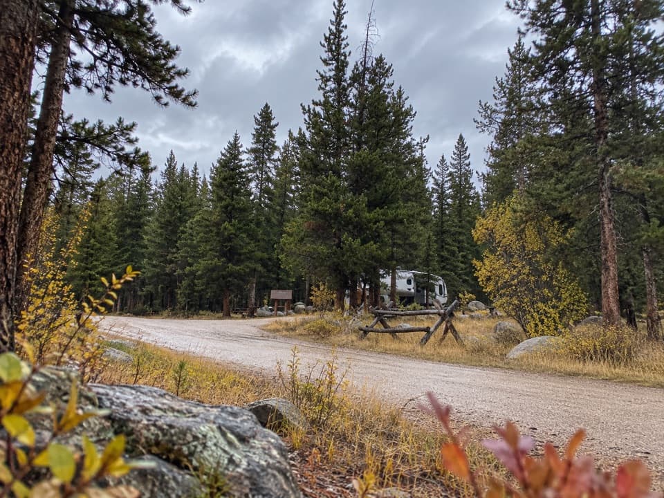
Start at the end of Lulu Pass–Goose Lake Road #6493 at the Absaroka–Beartooth Wilderness boundary, about two miles east of Cooke City near Colter Campground. The road is extremely rough, suited to high-clearance 4x4s, and generally passable in dry late summer. The boundary is a primitive road end rather than a developed lot; check current road conditions before travel.

Safety

The mapped hike climbs above 10,000 feet and reaches exposed, bouldery ground with some off-trail travel. Expect sun, wind and fast-changing high-country weather; no potable water or services are listed at the start. The route ends at the first rock ridge: the saddle snowfield is not the glacier, and travel beyond the mapped line toward ice or unstable talus is not included.

1 active Beartooth Highway alert

  • ClosureBeartooth Highway seasonal closure and falling-rock advisoryBeartooth Highway (US-212) is closed for the season between Cooke City and Red Lodge; do not plan to travel the highway as a through route.Official details
Beartooth Highway alerts
A park ranger sits on a dash-mounted phone, talking, as Parkwolf’s Tour Guide plays “Army Cutworm Moths: A Grizzly Bear Buffet” on Grand Loop Road below Dunraven Pass in Yellowstone
Parkwolf Tour GuideThe highest, rockiest slopes around here are a summer buffet for grizzly bears.

Beartooth Highway Tour Guide

Your drive to Grasshopper Glacier Trail, narrated.

Parkwolf is a GPS audio tour guide for Beartooth Highway. As you drive, it chimes in with what’s ahead: hidden gems, upcoming stops, history, geology, and wildlife, right through your car’s speakers.

See the Beartooth Highway audio tour

More stories near here in the app

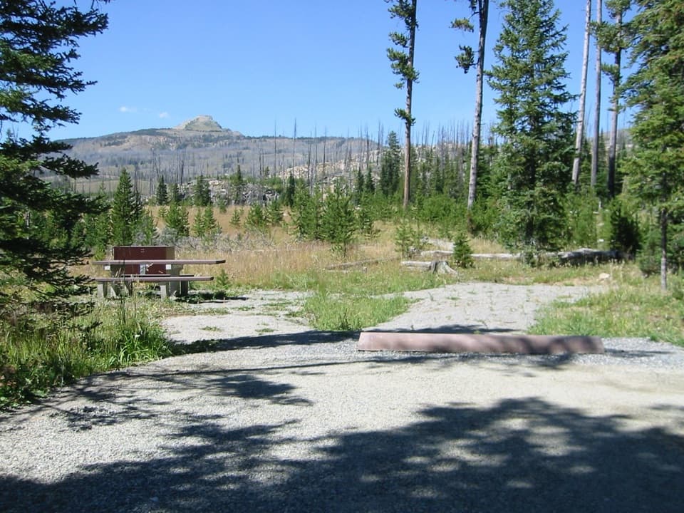
  • Colter Campground
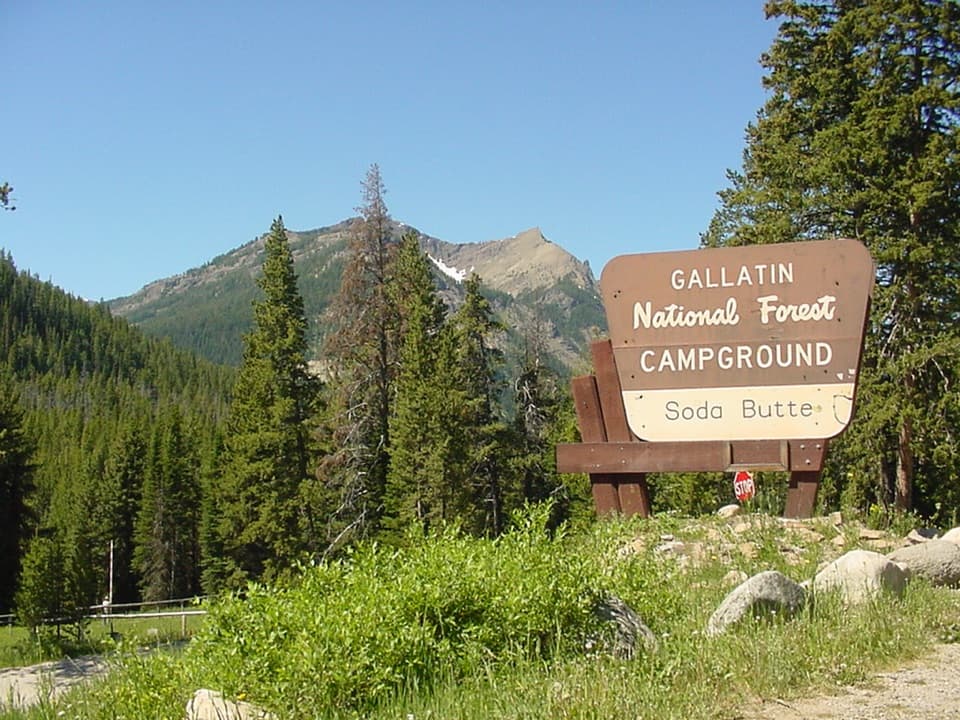
  • Soda Butte Campground
  • 62 audio storiesacross Beartooth Highway’s roads, triggered by GPS as you drive
  • Wildlife heatmapsfor Grizzly Bear, Gray Wolf, Bison, and 13 more
  • Works offlinemaps, 82 trails, 36 places, and audio download before you lose signal
  • CarPlay readysimple controls built for the drive
★★★★★
“Fantastic app with many points of information… It’s great to just turn on while you’re driving and it gives you an audio tour of the national Park. We love it!!!!”
JMJamesApp Store review
Download Parkwolf on the App StoreGet Parkwolf on Google Play

4.7 from 8,600+ ratings

Trail guide

Hiking Grasshopper Glacier Trail

The hike in briefThis is a high-alpine out-and-back from the Absaroka–Beartooth Wilderness boundary to the first…

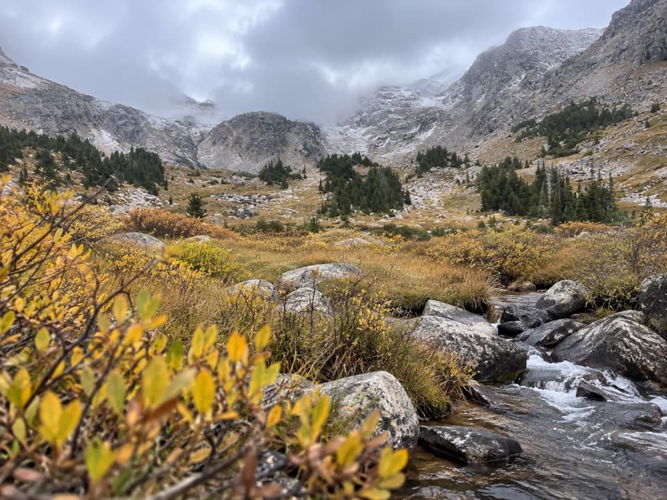
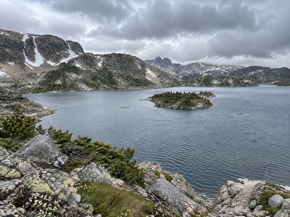
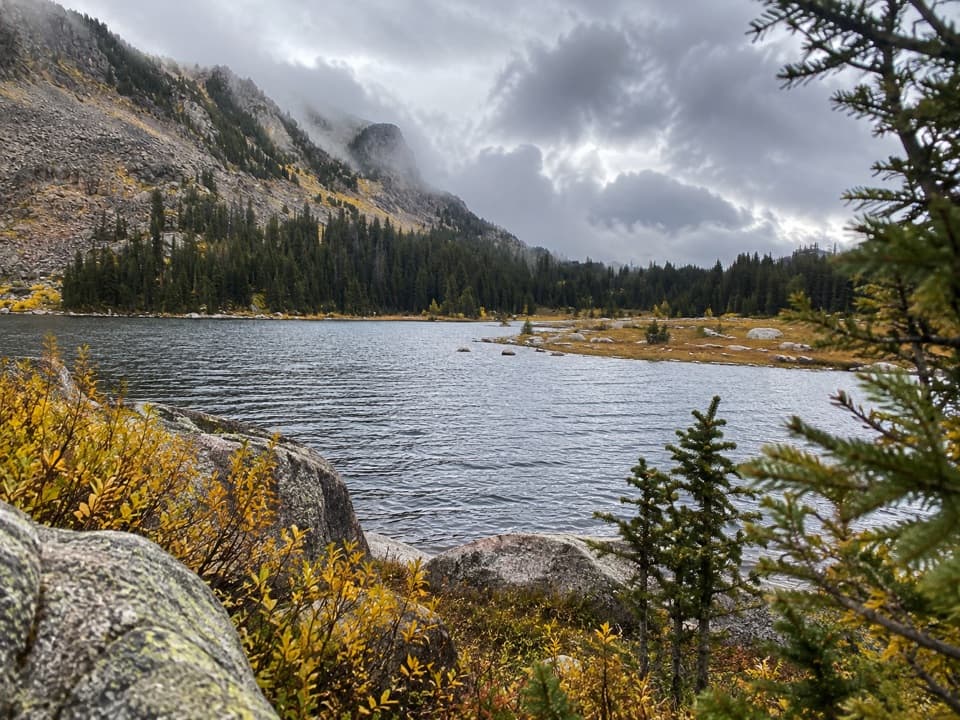
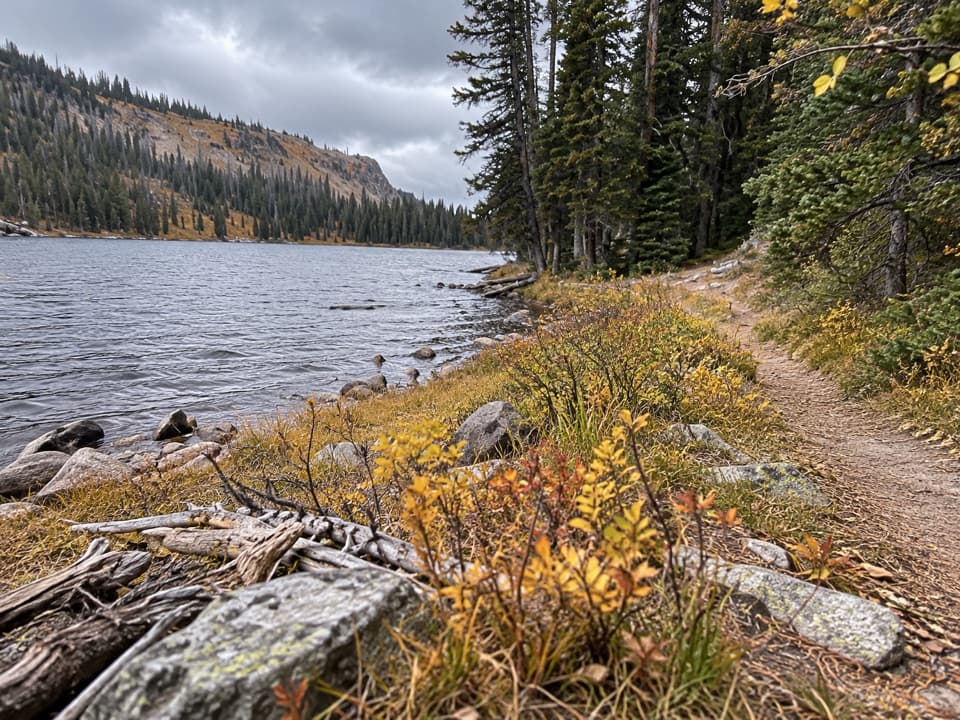
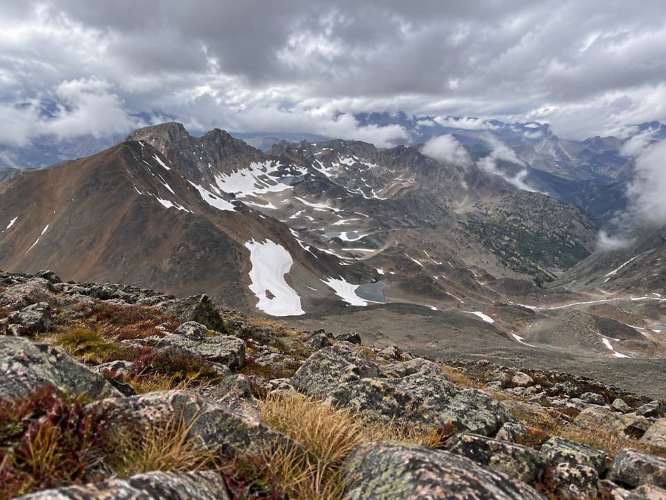
This is a high-alpine out-and-back from the Absaroka–Beartooth Wilderness boundary to the first rock ridge below Iceberg Peak. The mapped route is about 5.8 miles round trip (2.9 miles each way); allow around six hours for the climb and careful travel above 10,000 feet. The route follows an old road past upper Goose Lake, then continues northeast toward the saddle and a north-facing view of the Grasshopper Glacier basin. It ends at the viewing ridge, not at the ice.

Distance descriptions differ: some directions say about four miles from the boundary to the glacier, while the named mapped line reaches the first viewing ridge in about 2.8 miles. This entry represents that shorter mapped viewpoint walk; it does not include an unverified continuation to the ice margin.

Reaching the startFrom US 212, turn north about two miles east of Cooke City near Colter Campground onto Lulu…

From US 212, turn north about two miles east of Cooke City near Colter Campground onto Lulu Pass–Goose Lake Road #6493, and continue to the Absaroka–Beartooth Wilderness boundary. The road is extremely rough and requires a high-clearance 4x4; it is generally passable only in dry late summer, around late July and August. Check current road conditions before driving in. The start is the primitive road end, not a developed trailhead lot, and there are no services listed there. Motorized travel ends at the Wilderness boundary. Dogs are allowed under control; pack out waste.

Follow the old road to the viewWalk the old road to the upper end of Goose Lake, then head northeast toward the saddle between…

Walk the old road to the upper end of Goose Lake, then head northeast toward the saddle between Sawtooth Mountain and Iceberg Peak. At the saddle, a snowfield can look like the glacier. Continue to the crest of the first rock ridge: the intended view is Grasshopper Glacier on Iceberg Peak’s north side, above the lake basin. The mapped route stops at this ridge; the ice itself is not included on the mapped route.

High-country footingThis is a demanding backcountry walk despite the moderate mileage.

This is a demanding backcountry walk despite the moderate mileage. The route rises from roughly 9,800 feet to about 10,645 feet, with around 920 feet of mapped climbing. The upper approach is described as partly off trail over boulders, and the high exposed terrain can bring strong sun, wind and fast weather changes. Give the rocky final stretch time, and do not mistake the saddle snowfield for a route to the ice.

The locust storyThe glacier’s name comes from grasshoppers found embedded in its ice.

The glacier’s name comes from grasshoppers found embedded in its ice. In 1914, officials sent specimens exposed by melting ice for identification; entomologists recognized them as Rocky Mountain locusts, a species then believed to have been extinct for about two centuries. The proposed explanation is that a swarm was caught in a storm or cold high on the range, then buried by snow and ice. It is an explanation for the find, not a story hikers can expect to repeat today.

A changing alpine basinThe Beartooths were shaped by repeated glacial advances, which carved cirques and left lakes…

The Beartooths were shaped by repeated glacial advances, which carved cirques and left lakes among the high ridges. An older estimate recorded Grasshopper Glacier losing about half its area and up to 90 percent of its volume between 1898 and 1981. A recent reading of 2025 satellite imagery suggests almost no perennial ice remains, though current late-summer extent has not been independently surveyed. Take the hike for the whole alpine basin and its history; do not count on seeing a large glacier.

Wildlife

Wildlife in Beartooth Highway

All Beartooth Highway wildlife maps

Sighting maps show where each species has been reported across Beartooth Highway. Wildlife moves, so no sighting is guaranteed.

Keep exploring

Near Grasshopper Glacier Trail

See it all on the map

Trails that start nearby

Places near the trailhead

Parkwolf’s Beartooth Highway ranking

Top-rated trails in Beartooth Highway

All 82 trails
  1. 1Glacier Lake TrailChallenging · 4.4 mi
  2. 2Beartooth Lakes LoopModerate · 7.8 mi
  3. 3Becker and Albino Lakes TrailModerate · 12.2 mi
  4. 4Beartooth Loop National Recreation TrailChallenging · 10.9 mi
  5. 5The Beaten PathChallenging · 26 mi
  6. 6Gardner Lake TrailModerate · 1.6 mi

Take Parkwolf to Beartooth Highway.

The audio tour guide for the drive, plus offline maps, trails, and wildlife heatmaps for when the signal drops.

4.7 from 8,600+ ratings

Download Parkwolf on the App StoreGet Parkwolf on Google Play