Parking
Use Island Lake Hiker’s Parking Area at the end of the marked Forest Road 418 spur; the route starts at the northeast end. Do not use the limited boat-launch spaces or campground parking.

#3 of 82 trails in Beartooth Highway
Beartooth Highway, MT · WY
A long lake-to-lake day ending beneath Albino’s granite cliffs.
Overview
Map & elevation
Plan your hike

The highest, rockiest slopes around here are a summer buffet for grizzly bears.
Beartooth Highway Tour Guide
Parkwolf is a GPS audio tour guide for Beartooth Highway. As you drive, it chimes in with what’s ahead: hidden gems, upcoming stops, history, geology, and wildlife, right through your car’s speakers.
See the Beartooth Highway audio tourRecorded for this trailhead
Island Lake“Island Lake's access road is ahead, leading to a shore you can enjoy without committing to a hike. The lake holds brook trout, and there's a boat ramp as well as fishing from shore.”
Plays as you drive up to this trailhead in the Parkwolf Beartooth Highway Tour Guide.
More stories near here in the app
“Fantastic app with many points of information… It’s great to just turn on while you’re driving and it gives you an audio tour of the national Park. We love it!!!!”


Trail guide
Becker and Albino Lakes Trail is a 12.2-mile out-and-back from Island Lake Hiker’s Parking Area to Albino Lake, passing Night and Becker lakes on the way. Most of the approach follows Beartooth High Lakes Trail #620; near mile 3, you leave it for an informal branch. Allow six to eight hours. You start above 9,500 feet, and the long return plus faint tread makes this a full day even though the climbing is mostly gentle. The sampled elevation profile suggests roughly 700 feet of cumulative ascent. If you want the lake scenery without committing the whole day, Becker Lake is a satisfying turnaround at about 8 miles round trip.
Use the hiker parking area at the end of the marked spur road; the route starts from its northeast end. The path drops about a quarter mile to Island Lake’s boat ramp, then follows the west shore. The first stretch is easy walking with views north to Lonesome, Castle Rock, Castle and Sky Pilot mountains. Reach the lake’s head around 1.1 miles, then climb gently beside the stream to Night Lake at about 1.25 miles. Beyond it, small tarns and open subalpine meadows alternate with sparse trees. A modest rise brings you past Flake Lake and the last easy part of the route.
Near mile 3, watch for cairns and a faint path turning right, north, off #620. The named trail bends left and starts downhill; if you reach a switchback, you’ve missed the turn. The informal path passes small tarns, then opens onto Mutt and Jeff lakes. The connecting marsh can be wet, especially early in the season. A boulder field and a short, moderately steep knoll follow; descend through meadows and rock outcrops to Becker Lake’s east shore. This is the route-finding crux. The path beyond #620 is informal, so keep an offline map handy and don’t mistake a side track for the Becker route.
Becker Lake is about four miles from the hiker lot. Lonesome Mountain rises behind rocky knolls to the northwest, while granite cliffs rim the far shore. Turn around here for the shorter outing. The Albino extension skirts Becker’s east shore to a marshy head, then climbs beside the outlet stream. Early-season wet ground and lingering snow can slow this section. At roughly 5.9 miles one way, you reach Albino’s southeast end. Cross the outlet and walk west along the south shore: Lonesome Mountain rises to the west, and steep talus slopes climb to the east. That basin view is the payoff. The pass toward Jasper and Amber lakes is a longer continuation and isn’t part of this route.
Park at Island Lake Hiker’s Parking Area off the marked Forest Road 418 spur. Don’t use the limited boat-launch spaces or park in campground spaces. The nearby campground lists vault toilets, potable water, picnic tables and bear boxes; those are separate, seasonal facilities, not services on the trail. There’s no food service along the route. The high open ground has little shelter, so afternoon thunderstorms matter, and wet marsh or snow can linger early in the season. Dogs are allowed; leash them at the developed site and keep them under control on the trail.
The route crosses from Wyoming into Montana between Becker and Albino lakes. If you plan to fish, check which state’s rules apply at the water you reach; trout are reported in the larger lakes, but a catch is never a sure thing.
Wildlife
 42 sightingsGrizzly BearMost seen around 7 AMSighting map
 22 sightingsGray WolfMost seen around 6 AMSighting map
 49 sightingsBisonMost seen around 6 AMSighting map
 122 sightingsMooseMost seen around 6 AMSighting map
 260 sightingsMountain GoatMost seen around 7 AMSighting map
 16 sightingsBighorn SheepMost seen around 7 PMSighting map
Sighting maps show where each species has been reported across Beartooth Highway. Wildlife moves, so no sighting is guaranteed.
Keep exploring
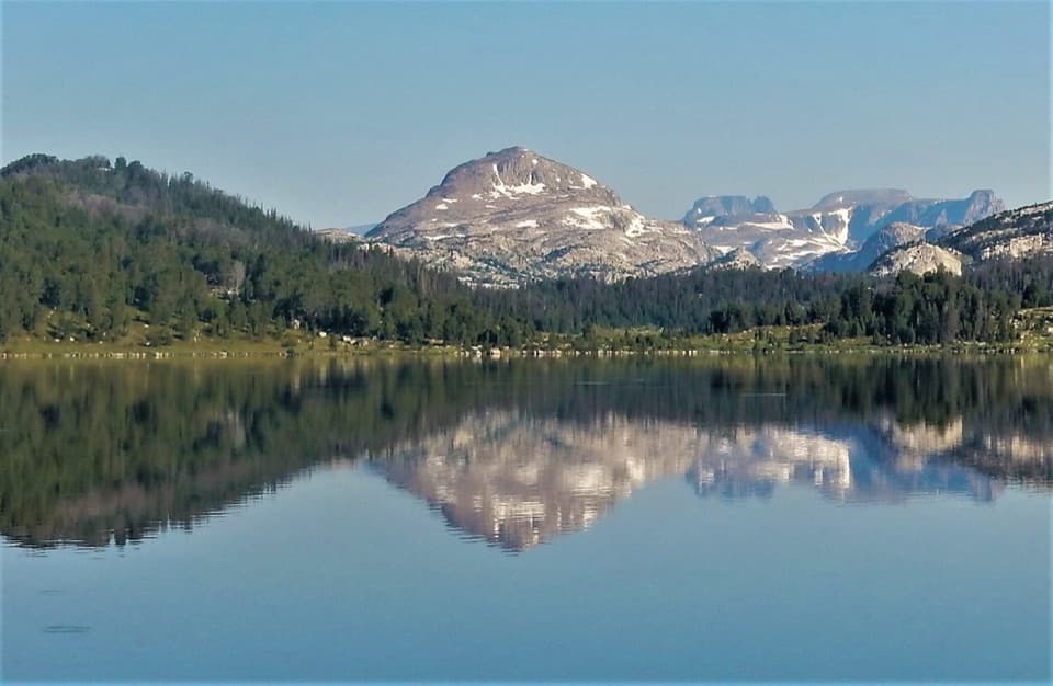 ModerateBeartooth High Lakes Trail8.9 mi · 5.5 hr · 0.2 mi awayNine miles of alpine lakes, granite benches and big plateau views
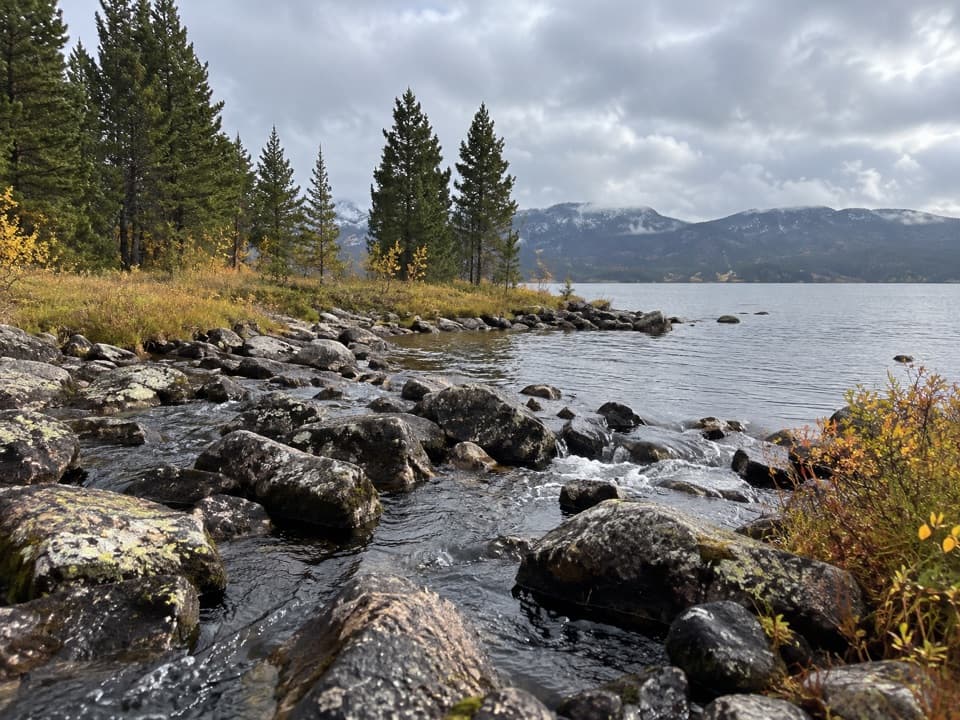 EasyIsland and Night Lakes Trail3.4 mi · 2 hr · 0.2 mi awayTwo alpine lakes on an easy, high-altitude walk off the highway.ModerateIsland Lake to Beartooth Lake Trail5.5 mi · 3.5 hr · 0.2 mi awayFive alpine miles, ten lakes and a shuttle between trailheads.
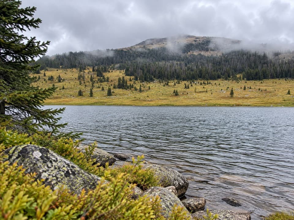 ModerateHauser, Stockade and Losekamp Lakes Trail6.7 mi · 3.5 hr · 1.9 mi awayThree high-country lakes make the extra walking count.
 ModerateBeartooth Lakes Loop7.8 mi · 4 hr · 2.5 mi awayA six-lake loop over high ridges and wildflower meadows.
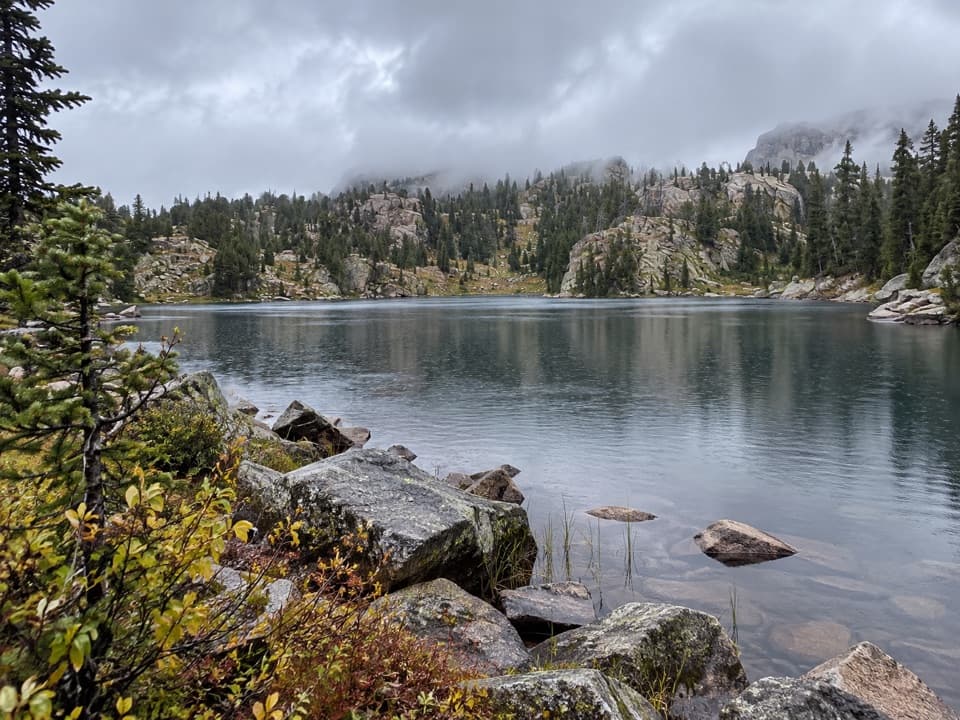 ModerateNative Lake Trail7.9 mi · 4 hr · 2.5 mi awayA high alpine lake reached after meadows and 1,300 feet of climbing.
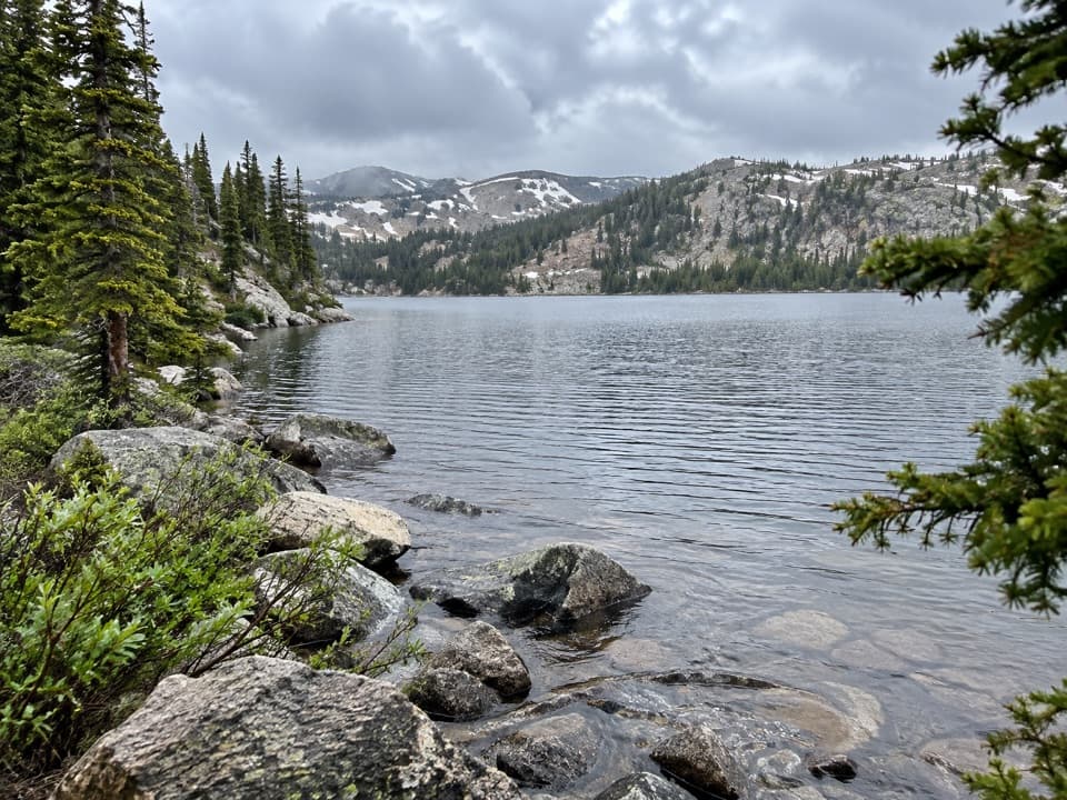 ModerateBeauty Lake Trail #6214.6 mi · 2.5 hr · 2.5 mi awayA steady high-country climb leads to a reflective lake.
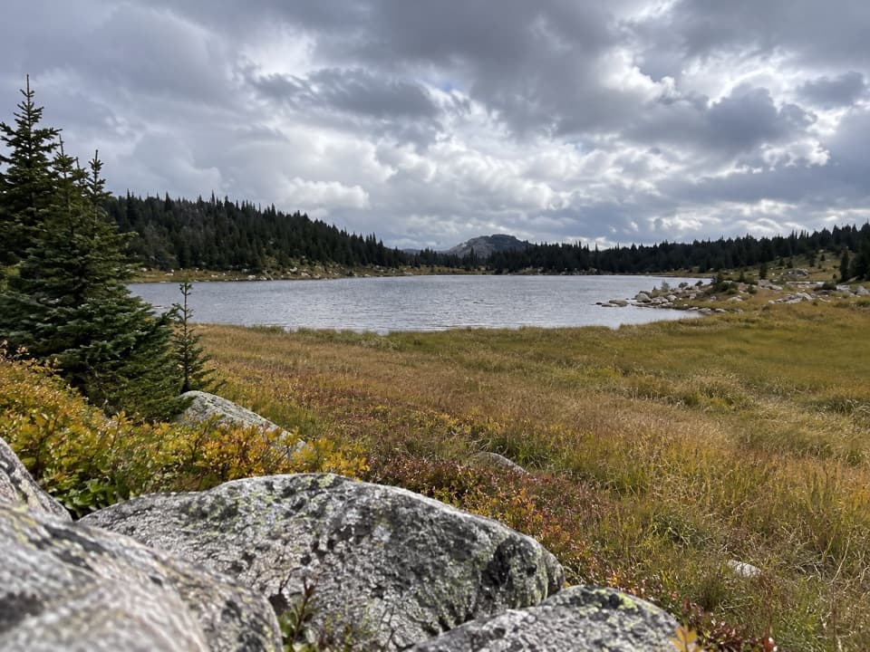 ModerateDollar Lake Trail7.5 mi · 4.5 hr · 2.9 mi awayFaint alpine tread links Top and Dollar Lakes.Sight · 0.2 mi awayIsland LakeA high-country lake with boat access and hikes to nearby lakes.Campground · 0.3 mi awayIsland Lake CampgroundA simple high-country camp for lake views and nearby hikes.
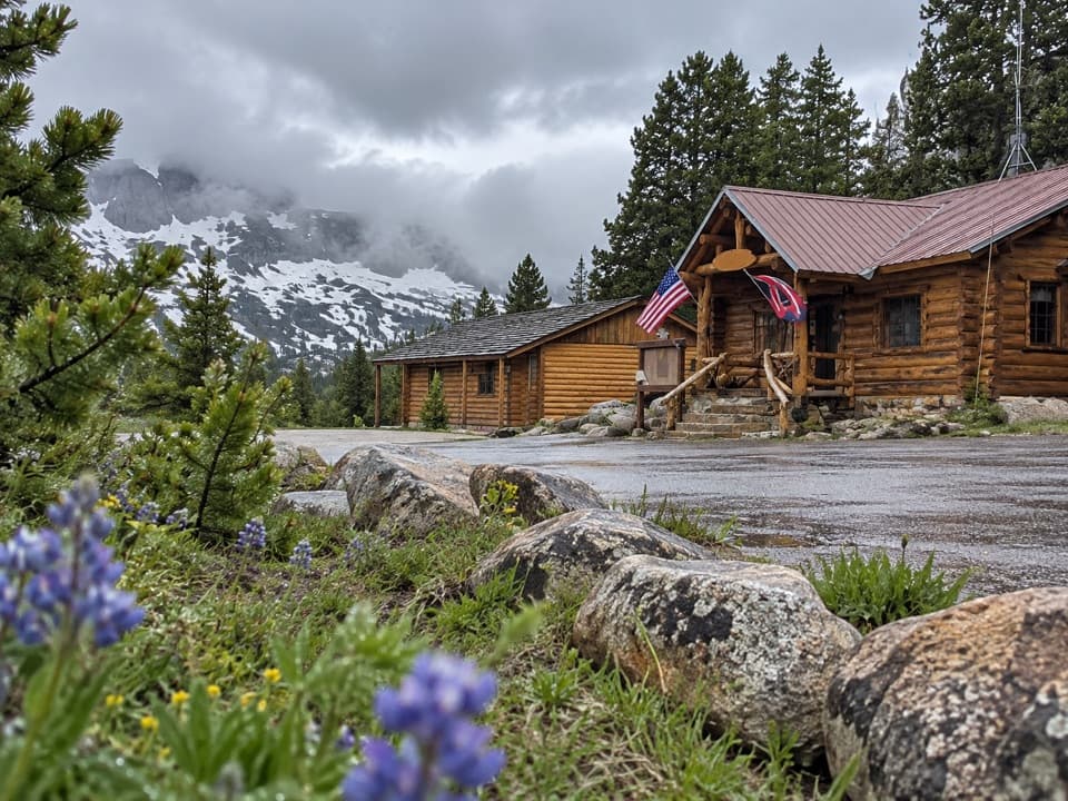 Store · 1.2 mi awayTop of the World Store and ResortA 9,400-foot store and lodge midway along the pass drive.
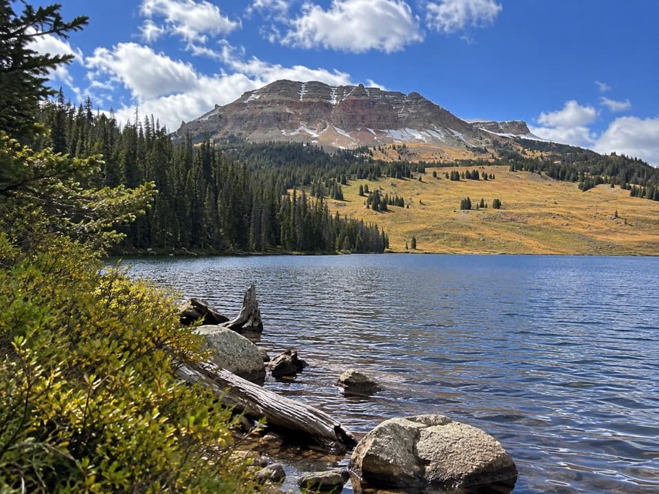 Campground · 2.6 mi awayBeartooth Lake CampgroundA lakefront base for fishing, boating and nearby high-country hikes.
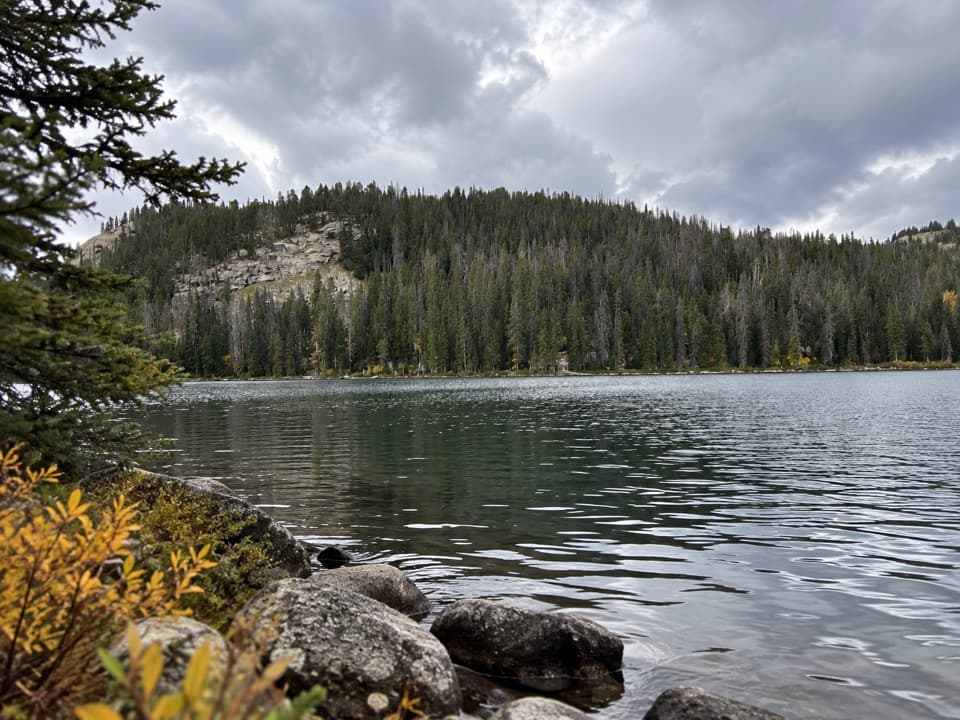 Sight · 2.7 mi awayBeartooth LakeLaunch, picnic, or take in Beartooth Butte across the lake.
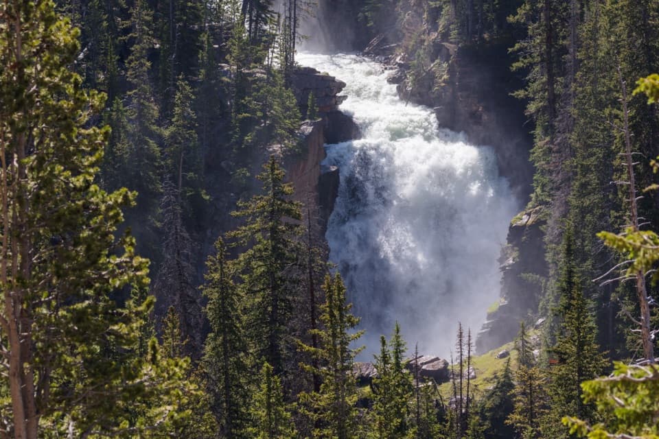 Sight · 3.4 mi awayBeartooth FallsA quick roadside look at the Beartooth Highway waterfall
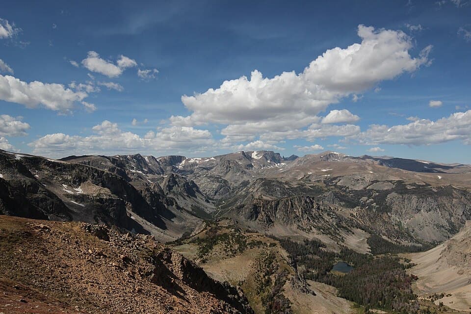 Sight · 3.6 mi awayBeartooth Pass VistaA high-alpine summit stop for open views, lingering snow and wildflowers.
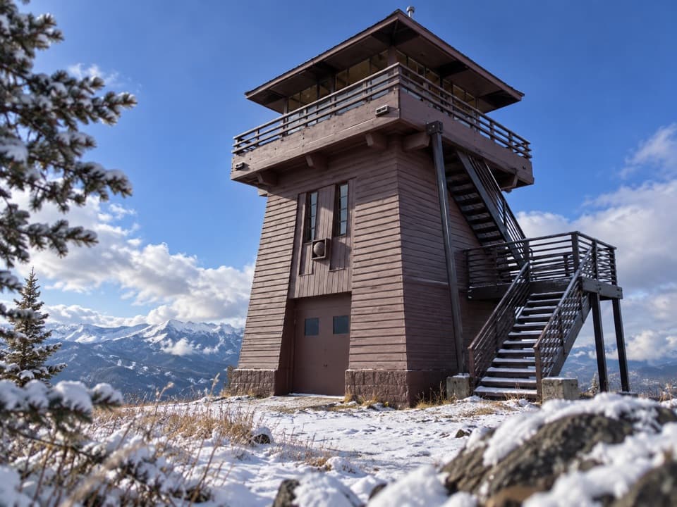 Sight · 4.4 mi awayClay Butte LookoutA historic fire tower with a 360-degree Beartooth panorama.
Parkwolf’s Beartooth Highway ranking

The audio tour guide for the drive, plus offline maps, trails, and wildlife heatmaps for when the signal drops.


