Moderate

Gardner Lake Trail

Quick alpine drop to a clear lake; steep, breathy climb back.
Gardner Lake Trail, Beartooth Highway
Distance1.6 mi
Typical time1.1 hr
DifficultyModerate
PetsAllowed

Overview

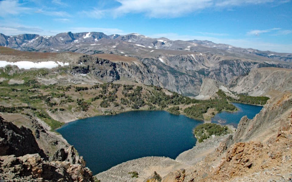
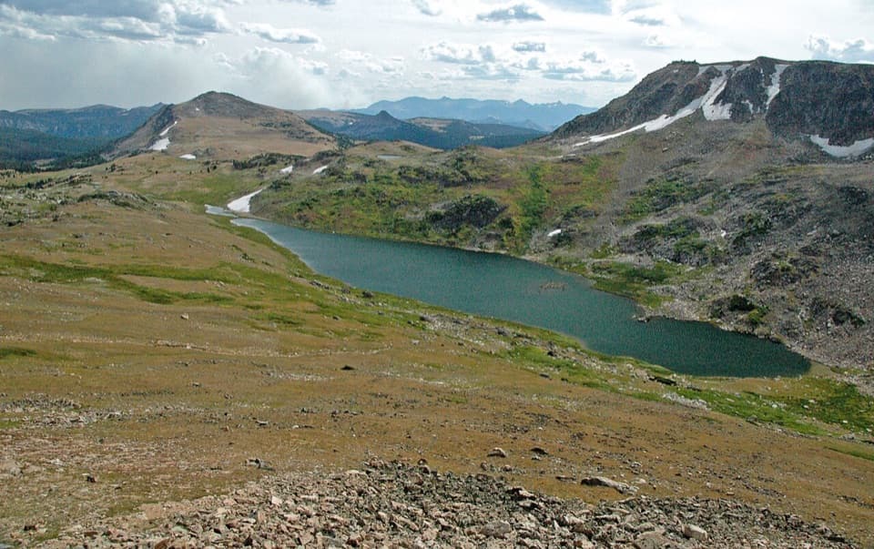
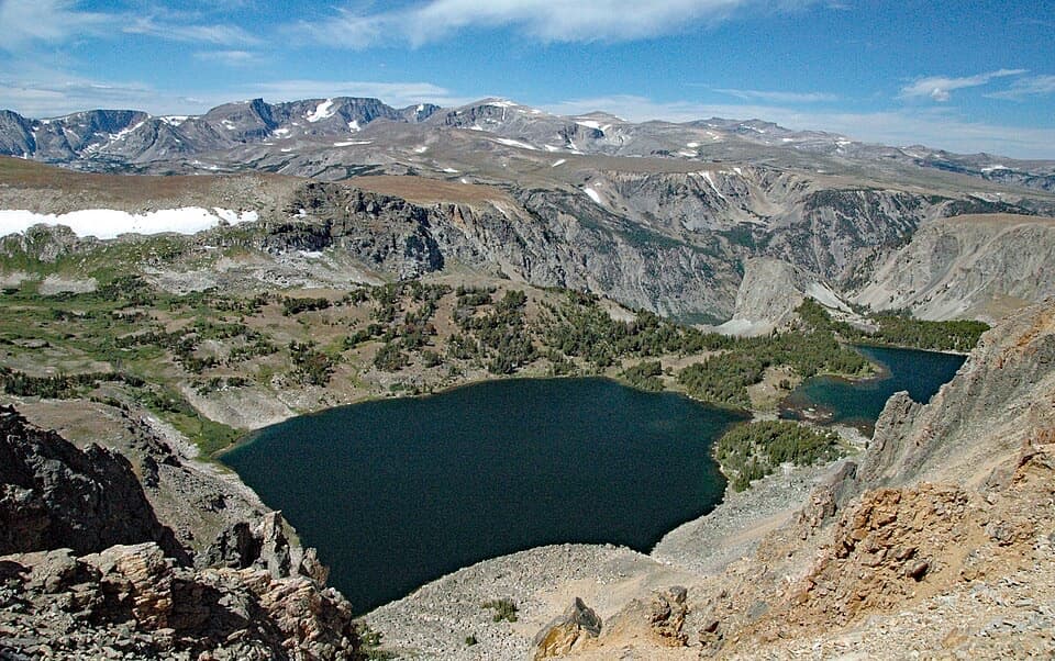
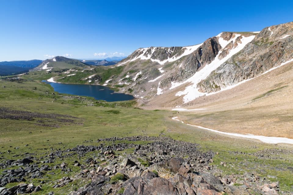
This is a short, high-reward stop right off the Beartooth Highway: about 1.6 miles total (out-and-back) with roughly 574–600 feet of elevation change. You start at one of the corridor’s highest pullouts (around 10,550 feet) and descend into a classic alpine bowl cradling Gardner Lake. It’s easy to underestimate—going down is quick; the climb back to the car is the workout.

The Route and Scenery

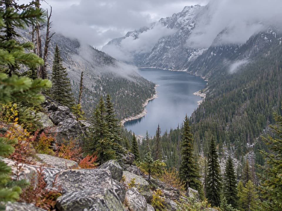
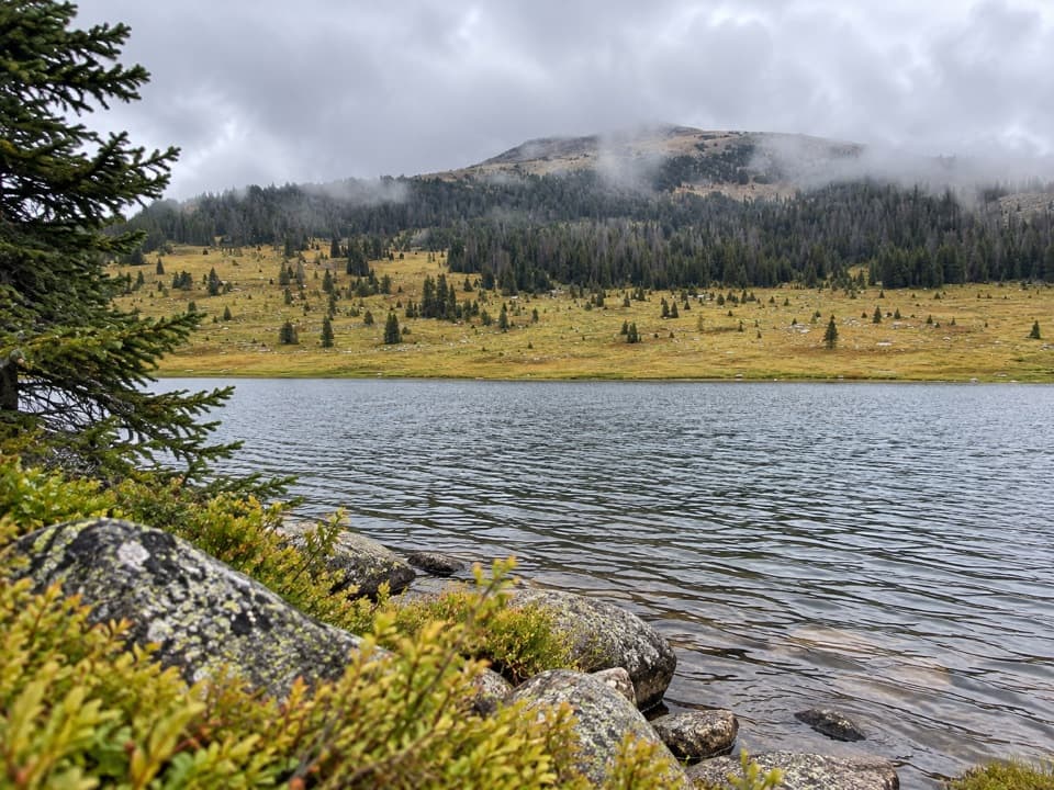
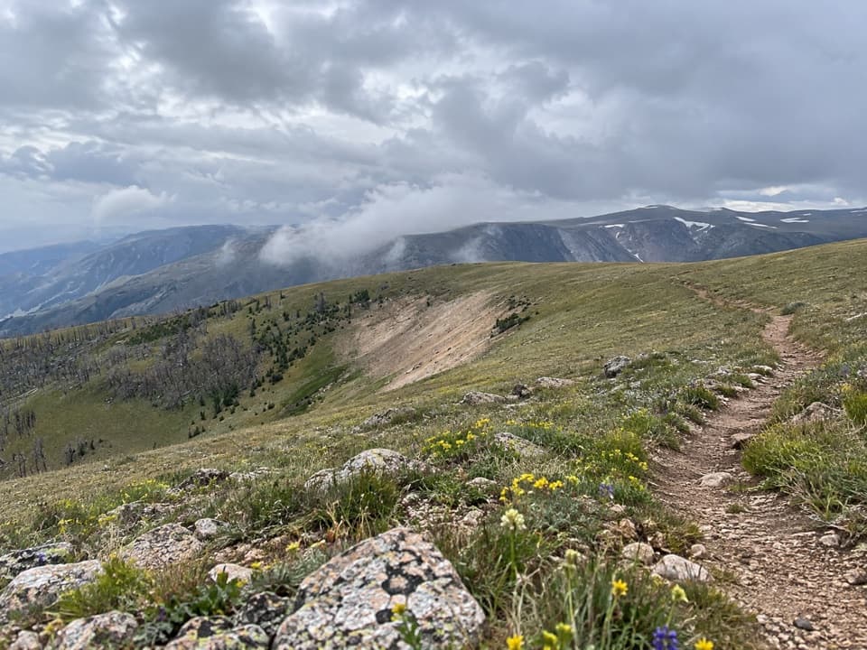
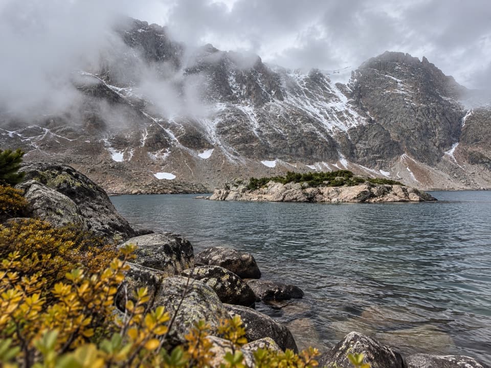
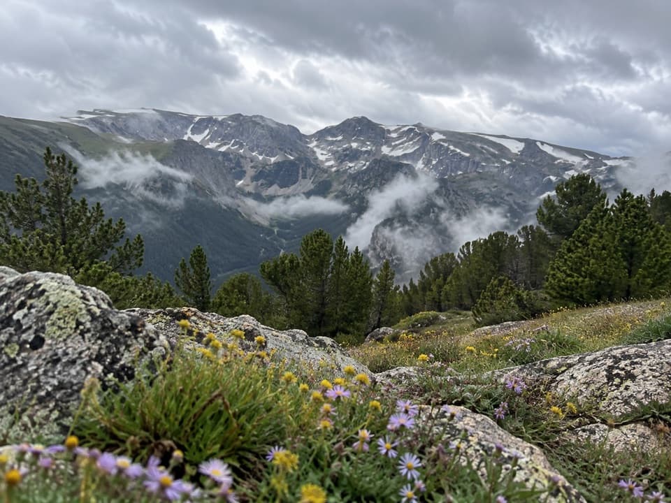
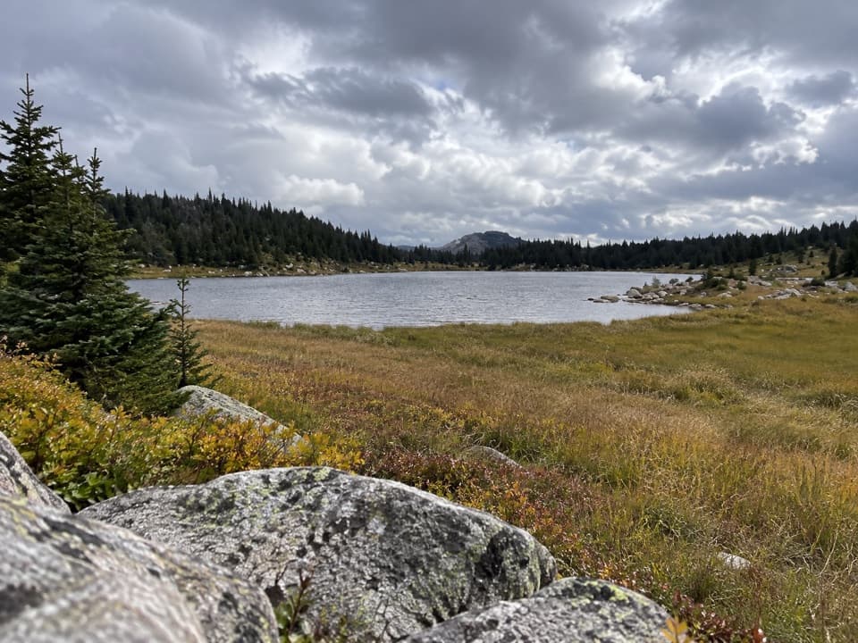
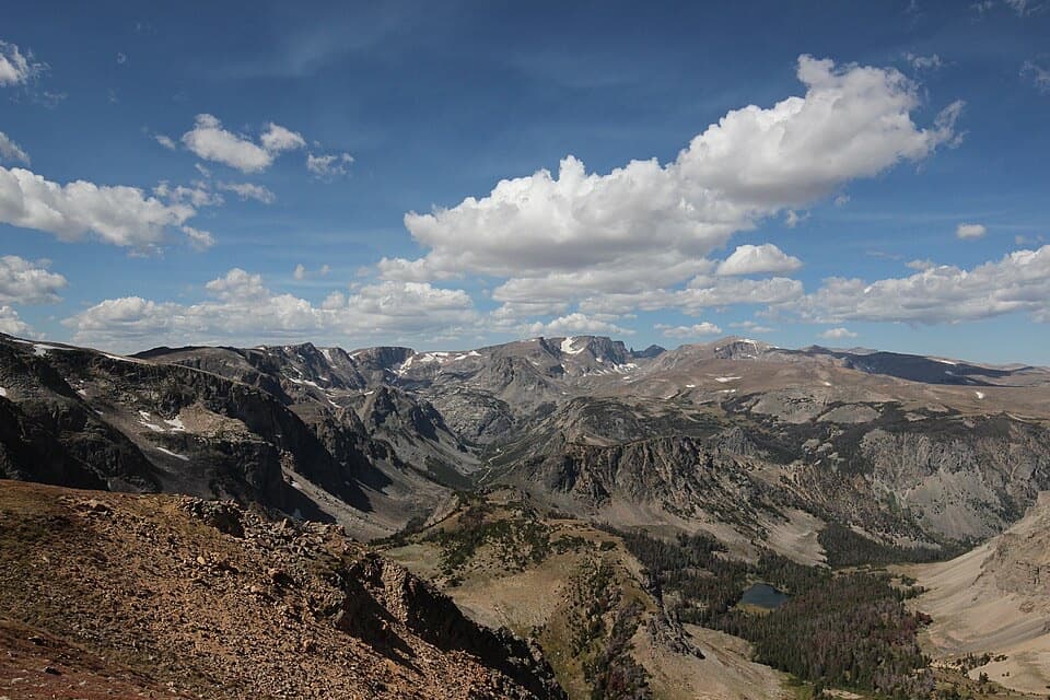
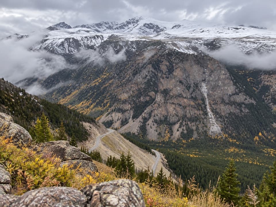
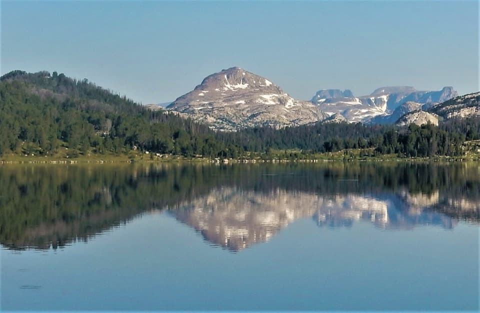
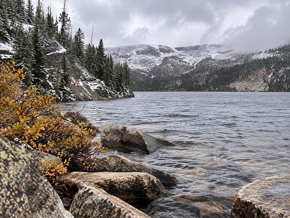
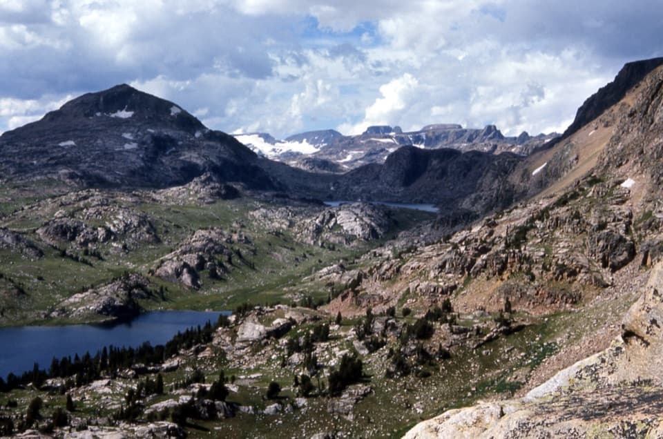
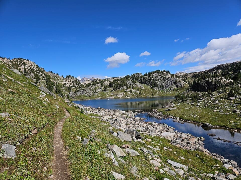
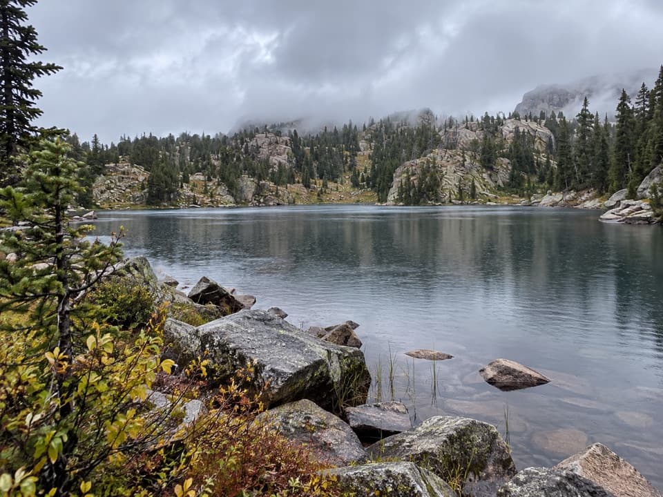
From the signed pullout, the path drops quickly on singletrack with some loose rock and sections that can be washed out. As you descend, look across to Tibbs Butte and the Littlerock Creek drainage. The lake sits in a glacially carved bowl typical of the Beartooth Plateau. From shore you’ll have big, open alpine views, and if you have a few extra minutes, wandering a bit beyond the lake reveals interesting vegetation and seasonal wildflowers.

Geology and Wildlife

You’re walking the edge of the Beartooth Plateau—ancient rock shaped by ice into cirques and lake-dotted basins. The Gardner Headwall looms nearby along the highway corridor. Wildlife sightings reported here include marmots and badgers, plus mule deer and raptors overhead. This is prime bear country; grizzlies are possible, so treat it with full respect.

Fishing

Anglers like the lake’s outlet stream for eager brook trout. If you pack a rod, keep it light and follow local regulations. It’s a fun add-on while catching your breath before the climb out.

Best Time to Hike

The general window runs April through September, with late summer favored to dodge peak mosquitoes. Conditions shift fast at 10,000+ feet, and access depends on the seasonal opening of the Beartooth Highway. Calm, clear weather makes this a perfect leg-stretcher on a drive-day.

Tips and Logistics

Dogs are allowed on leash. Expect thin air to make the short, steep return feel tougher than the stats suggest (about a 15% grade for roughly three-quarters of a mile). Trekking poles help on the loose sections. Trail users note a convenient pullout; bathrooms have been reported at/near the area at times, but plan to be self-sufficient. If you want a longer day and a more varied route, consider linking into the Beartooth Loop from here—or start that loop at Hauser Lake for a more gradual profile.

Pros

  • Instant alpine scenery from a very high trailhead
  • Quick detour with a legit workout and optional fishing at the outlet

Cons

  • Steep return at high elevation can feel brutal
  • Loose and occasionally washed-out sections require careful footing
  • Mosquitoes can be intense before late summer

Parking

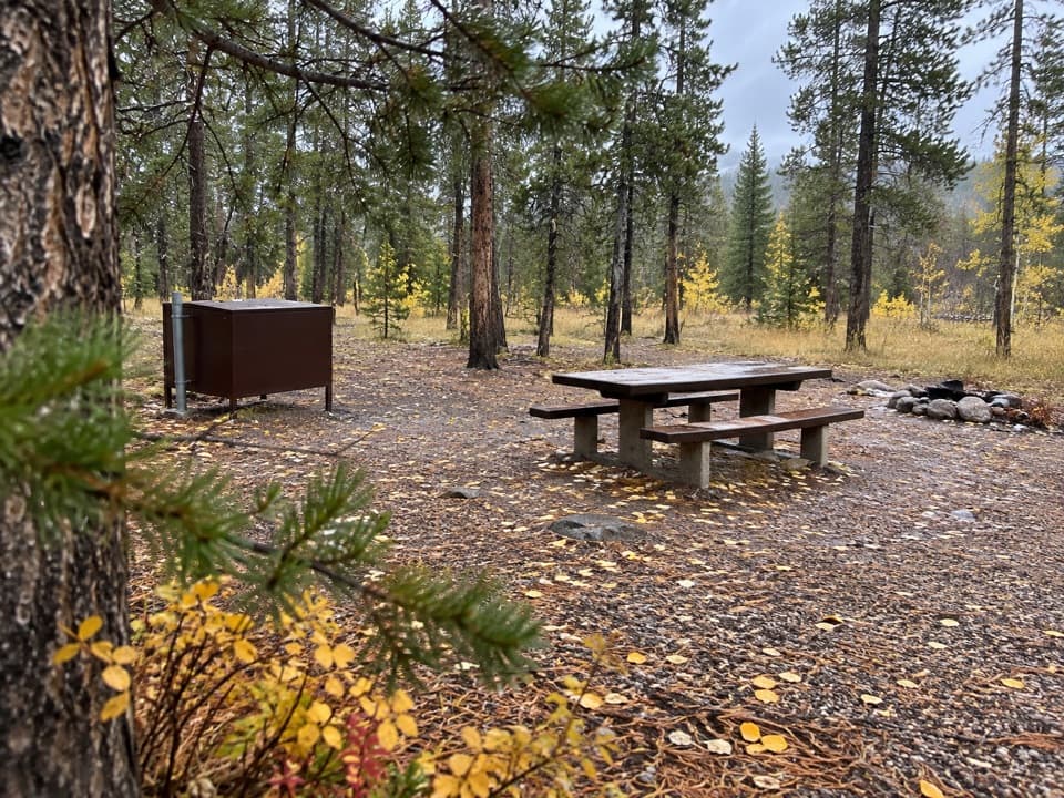
Large pullout on the south side of US 212 signed for Littlerock Creek/Beartooth Loop, roughly 28 miles from Red Lodge; the Gardner Lake path drops from this parking area.

Caution

High-altitude, steep climb with loose rock and periodic washouts; prime bear habitat—carry bear protection and know how to use it.

The Parkwolf tour guide sitting on a phone mounted in a car

Parkwolf Tour Guide

Like a tour guide in your car.

Bring Beartooth Highway trail research into the car, with offline maps and stories that play as you drive.Download Parkwolf on the App Store